The best hikes from bus stations in Coleraine
4.6
(914)
8,101
hikers
12
hikes
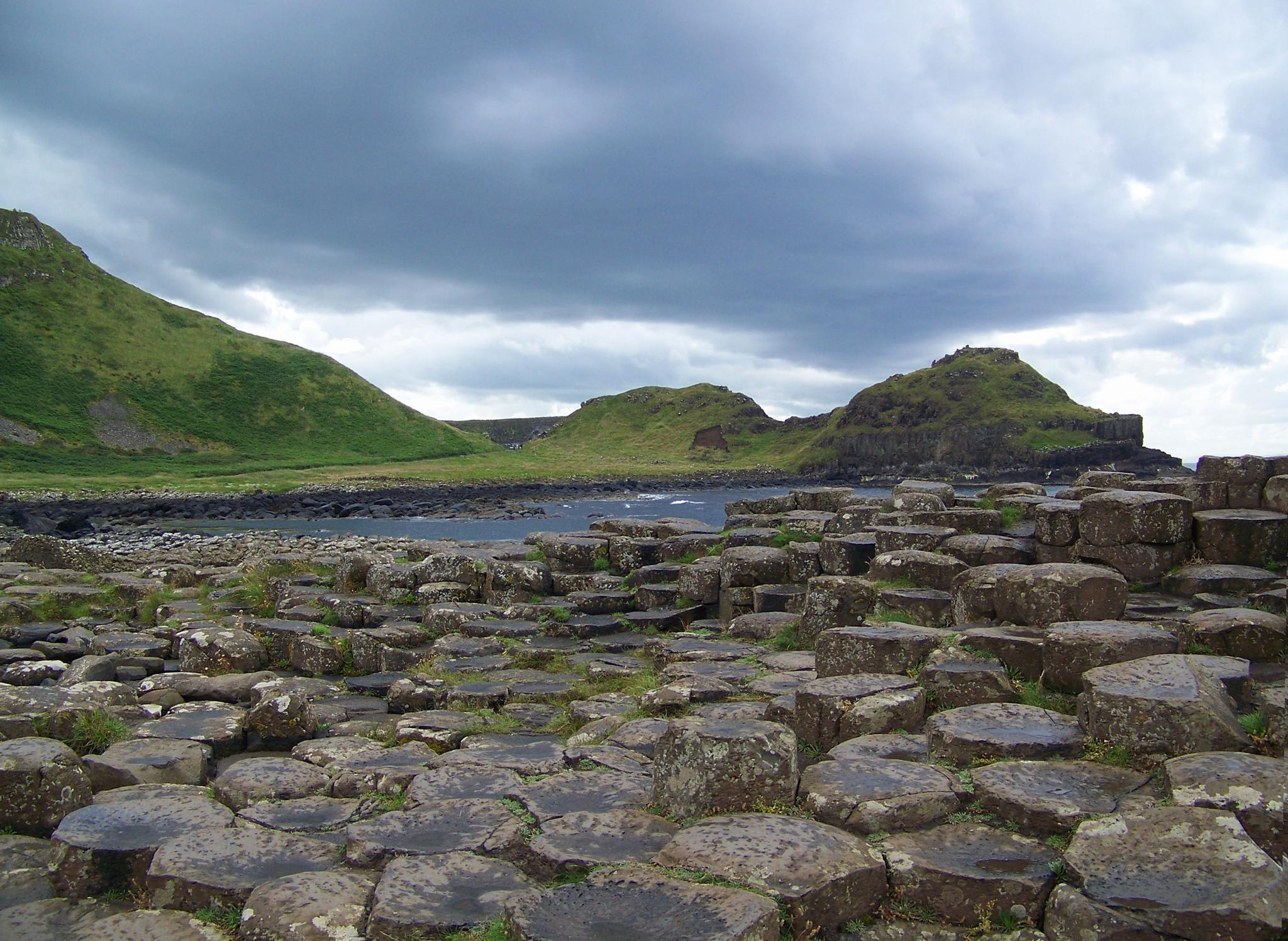
Popular hiking trails near Coleraine Bus Station offer access to the diverse landscapes of the Causeway Coast and River Bann region. The area features dramatic coastal paths, wide bays, and sandy beaches, alongside serene riverside walks and enchanting woodland trails. Hikers can explore geological formations like basalt columns and limestone cliffs, as well as modest hills and ancient forests. This varied terrain provides a range of bus station hiking trails for different preferences and abilities.
Best bus station hiking trails…
Last updated: July 8, 2026
5.0
(8)
72
hikers
9.14km
02:21
40m
40m
Moderate hike. Good fitness required. Easily-accessible paths. Suitable for all skill levels.
3.0
(3)
62
hikers
Moderate hike. Good fitness required. Easily-accessible paths. Suitable for all skill levels.

Sign up for free
4.6
(9)
37
hikers
20.6km
05:22
140m
140m
Hard hike. Very good fitness required. Easily-accessible paths. Suitable for all skill levels.
5.0
(2)
27
hikers
Easy hike. Great for any fitness level. Easily-accessible paths. Suitable for all skill levels.
5.0
(2)
26
hikers
4.00km
01:03
30m
30m
Easy hike. Great for any fitness level. Easily-accessible paths. Suitable for all skill levels.
Get access to more routes and recommendations from other explorers.
Sign up for free
Already have an account?
Our route recommendations are based on thousands of hikes, rides, and runs completed by other people on komoot.
Start today with a free account
Your next adventure awaits.
Login or Signup





Tips from the Community

Portstewart Strand is a sweeping two-mile beach at the edge of town and forms a fitting finale (or start!) to the Causeway Coast Way. The viewpoint is from St. Patrick’s Well, a small spring long associated with local tradition.
1
0


Mountsandel Fort is a prehistoric fort dating to the Mesolithic period that was reused in the Irish Middle Ages (10th to 11th centuries). Located in Coleraine, County Derry, the fort consists of a huge grassy mound hollowed out in the middle, overlooking the River Bann. A must-see for lovers of mysterious monuments!
1
0

The causeway coast way passes by the East Strand beach to get to the White Rocks. On this beach you can walk very well without sinking your feet in the sand, and the view is very suggestive between sea and dunes.
1
0
Beautiful walk along the seafront, overlooking the town, the beach and the cliffs in the distance. Lots of shops and restaurants nearby.
1
0

Lovely big wide windswept beach with fabulous views to Mussenden Temple (Downhill) and across to Donegal. You can take your car on to the beach (NT charges apply) or park in Portstewart and walk round the cliff path.
2
0
Frequently Asked Questions
How many hiking trails are accessible from bus stations in Coleraine?
There are 13 hiking trails in Coleraine that are easily accessible from bus stations, offering a variety of experiences from easy riverside strolls to more challenging coastal paths.
Are there any easy, family-friendly walks near Coleraine bus stations?
Yes, several easy routes are suitable for families. The View of the River Bann – Mountsandel Fort loop from Causeway Hospital is an excellent choice. This 4.4 km easy loop takes you along the picturesque River Bann and past the historic Mountsandel Fort, offering a pleasant experience for all ages.
What kind of natural features and landmarks can I expect to see on these hikes?
The trails accessible from Coleraine bus stations showcase the diverse beauty of the Causeway Coast. You can expect dramatic coastal scenery, sandy beaches, and historical sites. Highlights include the iconic Dunluce Castle Ruins, the stunning Mussenden Temple perched on a cliff, and the expansive Portstewart Strand. Many routes also feature views of the River Bann and its surrounding woodlands.
Are there any circular hiking routes available from Coleraine bus stations?
Yes, many of the routes are circular, making them convenient for public transport users. For example, the Portstewart Promenade – Portstewart Strand loop from Portstewart offers a scenic 9.2 km coastal walk, returning you to your starting point. Another option is the View of Portrush Harbour – West Strand Promenade loop from Portstewart, which provides lovely views of Portrush.
What is the best time of year to go hiking near Coleraine bus stations?
The Causeway Coast region is beautiful year-round, but spring and summer (April to September) offer the most pleasant weather for hiking, with longer daylight hours and milder temperatures. Autumn brings stunning foliage, especially in woodland areas like Mountsandel Forest. Winter walks can be invigorating, but be prepared for colder, wetter conditions and shorter days, particularly on exposed coastal paths.
Are there any challenging hikes accessible by bus from Coleraine?
Yes, for those seeking a more challenging experience, the East Strand Beach – Whiterocks Cliff Path loop from Portstewart is a difficult 20.4 km route. This trail offers extensive coastal views and a good workout, showcasing the dramatic cliffs and beaches of the area.
What do other hikers say about the trails around Coleraine?
The hiking trails in Coleraine are highly regarded by the komoot community, with an average rating of 4.6 stars from over 800 reviews. Hikers frequently praise the stunning coastal scenery, the well-maintained paths, and the accessibility of many routes via public transport, making it easy to explore the region's natural beauty.
Can I find viewpoints or scenic overlooks on these bus-accessible trails?
Absolutely. The Causeway Coast is renowned for its breathtaking viewpoints. Many trails offer panoramic vistas of the Atlantic Ocean, dramatic cliffs, and sandy beaches. Look out for spots like Magheracross Viewpoint and the views from the Whiterocks Cliff Path for particularly stunning photo opportunities.
Are there any specific trails that highlight the River Bann?
Yes, Coleraine is situated on the River Bann, and several trails offer picturesque riverside walks. The View of the River Bann – Mountsandel Fort loop from Causeway Hospital is a prime example, providing lovely views of Northern Ireland's longest river and the ancient Mountsandel Fort.
Where can I find more information about walking and hiking in the wider Causeway Coast and Glens area?
For additional inspiration and details on a broader range of walks and trails in the Causeway Coast and Glens area, you can visit the official tourism website. They offer information on various routes, including short walks under 5km and a comprehensive list of walks and trails.
Most popular routes in Coleraine
Most popular attractions in Coleraine

Get inspired with the komoot mobile app


Didn’t find what you were looking for?
Check out more Hikes throughout Coleraine below and find the perfect route in your destination.
Explore more
Browse the best Hikes in other regions.
