Lindenhardter Forst-Südost
Lindenhardter Forst-Südost
The best cycling routes around Lindenhardter Forst-Südost
4.5
(1771)
9,260
riders
346
rides
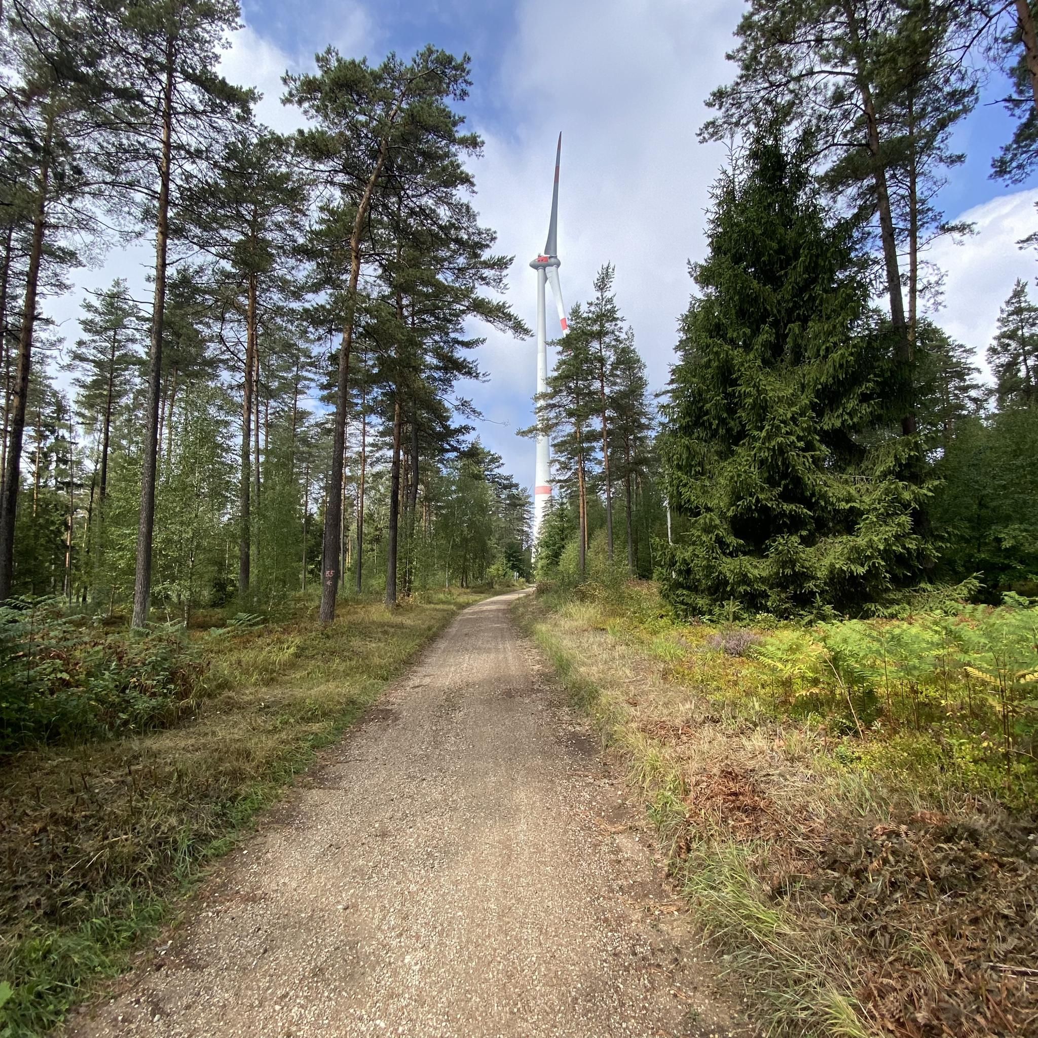
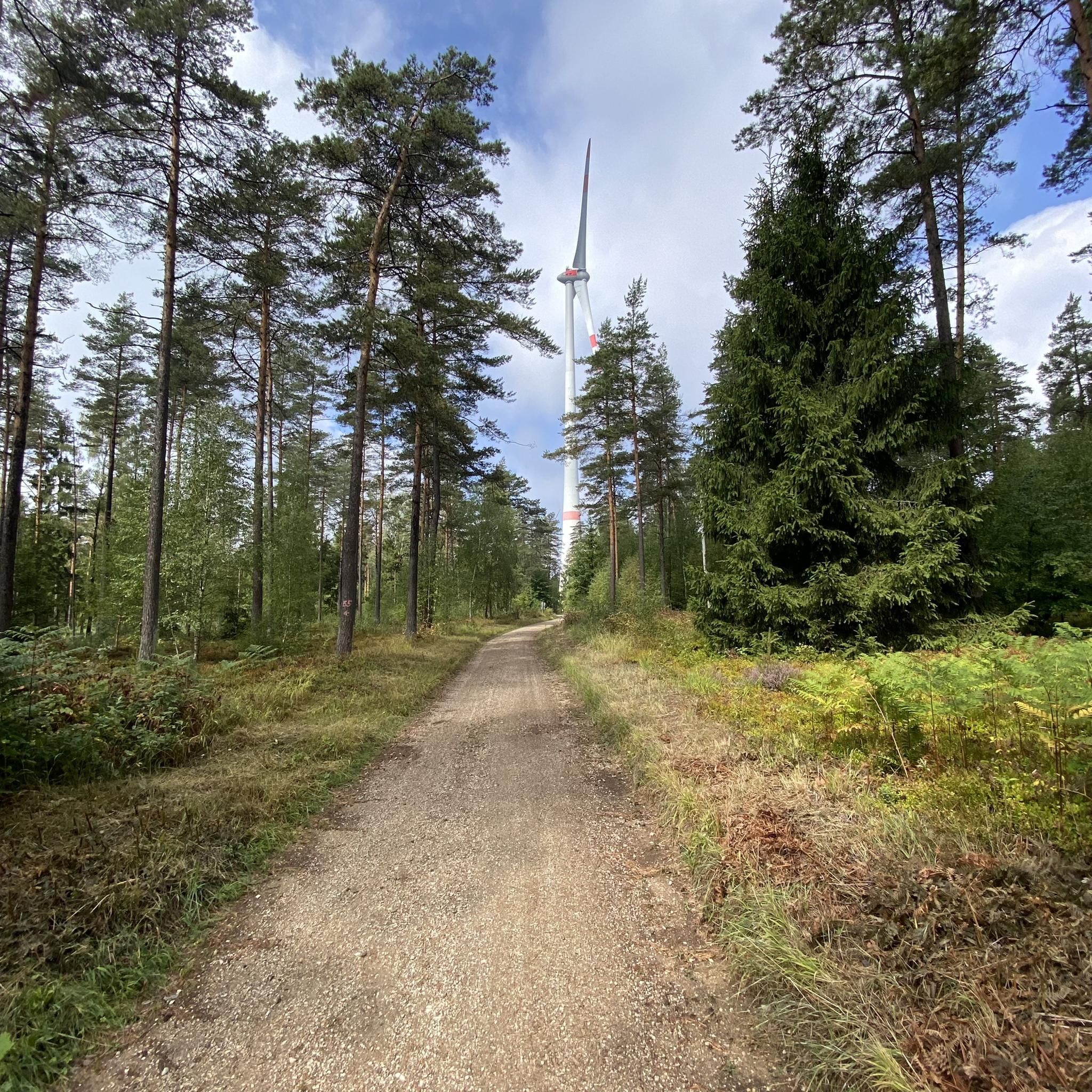
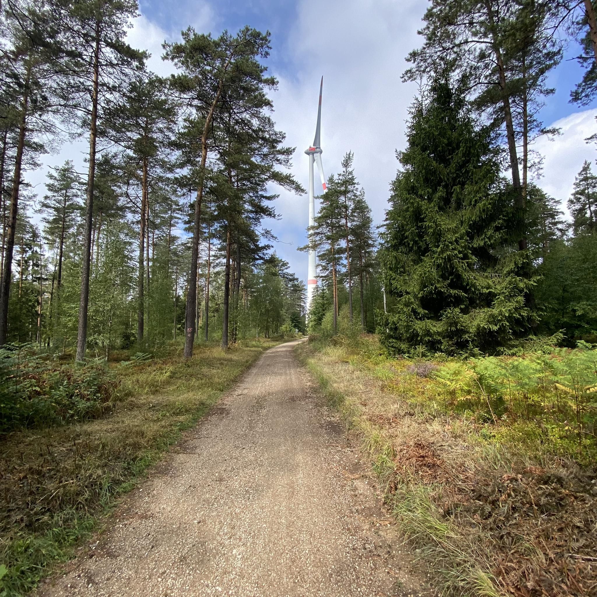
Touring cycling routes around Lindenhardter Forst-Südost traverse a densely wooded environment within the Upper Franconian district of Bayreuth. The region features varied topography, providing an intensive forest experience with well-maintained paths. A notable natural feature is the Rotmainquelle, the source of the Red Main river. The area is completely forested, offering a serene setting for outdoor pursuits.
Best touring cycling routes around Lindenhardter Forst-Südost
- The most popular touring cycling route is View of Rauher Kulm – Craimoos Pond loop from…
Last updated: July 3, 2026
4.8
(12)
44
riders
34.2km
02:28
350m
350m
Moderate bike ride. Good fitness required. Mostly paved surfaces. Suitable for all skill levels.
4.8
(13)
41
riders
27.2km
01:59
340m
340m
Moderate bike ride. Good fitness required. Mostly paved surfaces. Suitable for all skill levels.

Sign up for free
5.0
(2)
21
riders
Moderate bike ride. Good fitness required. Mostly paved surfaces. Suitable for all skill levels.
5.0
(2)
10
riders
Moderate bike ride. Good fitness required. Mostly paved surfaces. Suitable for all skill levels.
9
riders
11.8km
00:51
200m
200m
Moderate bike ride. Good fitness required. Mostly paved surfaces. Suitable for all skill levels.
Get access to more routes and recommendations from other explorers.
Sign up for free
Already have an account?
Our route recommendations are based on thousands of hikes, rides, and runs completed by other people on komoot.
Start today with a free account
Your next adventure awaits.
Login or Signup

Tips from the Community

The Mistelbach cycle path is a central cycling connection in Bayreuth, linking the city center with the southwestern surroundings. It is considered one of the "established axes" in the city's cycle network. The path leads from the Bayreuth city center (near the Rotmain-Center) along the Mistelbach out of town towards the municipality of Mistelbach. It is part of the regional connection from Bayreuth to Hollfeld, which partly runs along a former railway line. The route is considered easy to moderate and is well suited for families due to only short uphill sections.
1
0
The Church of the Holy Trinity (Stadtkirche Heilig Dreifaltigkeit) is Bayreuth's largest church and is considered the city's most important Protestant place of worship. It is a three-nave basilica in the late Gothic style, with two striking towers that shape the cityscape. The first church on this site was likely consecrated as early as 1194, marking the first documented mention of Bayreuth. After destruction by the Hussites (1430) and a devastating city fire (1605), the church was rebuilt in its current form between 1611 and 1614 and dedicated to the Holy Trinity. It serves as the preaching church of the regional bishop and is the main church of the deanery. Beneath the chancel lies the princely crypt, where 26 members of the margravial family are buried, including Margrave Christian and Christian Ernst. The interior features Baroque elements, a historic pulpit, and an imposing high altar from 1615. The church houses the large Trinity Organ (renovated in 2014) as well as the Magdalene Organ. A stone bridge connects the two towers. In the north tower, a historic tower dweller's apartment can be visited, where a family lived until 1932.
4
0

One of 3 fountains on Maximilianstrasse
0
0

Neptune Fountain Maximilianstraße Bayreuth at the end of the city center
1
0
The Neptune Fountain is located on the lower market square towards the Spitalkirche.
1
0


The two outflows in the north and south flow in different directions and converge again via other river systems near Bamberg. This system turns Franconian Switzerland into an "island."
1
0
Frequently Asked Questions
How many touring cycling routes are available in Lindenhardter Forst-Südost?
Lindenhardter Forst-Südost offers a wide selection of touring cycling routes, with over 360 options to explore. These routes cater to various skill levels, including easy, moderate, and difficult trails.
What are the typical terrain and path conditions for touring cycling in this region?
The region is characterized by a densely wooded environment and varied topography. Cyclists can expect well-maintained paths, including numerous gravel sections, providing a diverse and immersive forest experience.
What is the best time of year for touring cycling in Lindenhardter Forst-Südost?
The spring, summer, and autumn months generally offer the most pleasant conditions for touring cycling. The completely forested nature of the region provides shade in warmer months and beautiful foliage in autumn, making it enjoyable across these seasons.
Are there touring cycling routes suitable for beginners or less experienced cyclists?
Yes, Lindenhardter Forst-Südost has over 80 easy touring cycling routes. These trails are ideal for beginners or those looking for a relaxed ride through the scenic forest landscape.
What natural features can I explore while cycling in Lindenhardter Forst-Südost?
Cyclists can discover significant natural features such as the Rotmainquelle, the source of the Red Main river. The region's dense forests and varied topography also offer a rich natural experience.
Are there any interesting geological formations or viewpoints along the cycling routes?
Yes, the area features unique geological formations. You might encounter the impressive 35-meter-high "Kletterwand Hohe Nase" rock face or the intriguing "Felsformation Viertelstein" near Mistelbach, also known as "Teufelsfelsen" (Devil's Rock), known for its honeycomb weathering.
Are there any gorges or waterfalls accessible from the touring cycling routes?
Yes, the wider area around Lindenhardter Forst-Südost features several natural wonders. You could explore highlights like The beautiful Upper Püttlach Valley or the Salamandertal Sandstone Gorge. For waterfalls, the Arzloch Waterfall is also nearby.
What do other touring cyclists enjoy the most about cycling in Lindenhardter Forst-Südost?
The area is highly rated by the komoot community, with an average score of 4.6 stars from over 1,900 reviews. Cyclists often praise the serene, densely wooded environment, the varied topography, and the well-maintained gravel paths that make for an enjoyable ride.
Are there any circular touring cycling routes in the area?
Many routes in Lindenhardter Forst-Südost are designed as loops, allowing you to start and end at the same point. An example is the moderate View of Rauher Kulm – Craimoos Pond loop from Landkreis Bayreuth, offering scenic views.
Can I find family-friendly touring cycling routes in Lindenhardter Forst-Südost?
Yes, with over 80 easy routes, there are plenty of options suitable for families. These routes typically feature gentler gradients and well-maintained paths, perfect for a leisurely family outing.
Are there any routes that combine forest areas with urban sections?
Yes, some routes offer a mix of natural and developed landscapes. For instance, the moderate Gasthof Zum Fichta – Maximilian Street, Bayreuth loop from Weiglathal connects dense forest areas with parts of Bayreuth.
Where can I find places to rest or eat along the routes?
The region offers several spots for refreshments. You might find traditional inns or pubs like Kürzdörfer Brewery, Lindenhardt, or restaurants such as Forsthaus Kamerun, providing opportunities to refuel during your ride.
Are there any challenging touring cycling routes for experienced riders?
Absolutely. For experienced cyclists seeking a challenge, there are over 120 difficult routes available. An example is the Gradl Brewery Inn – Buchau Wood-Fired Bakery loop from Leups, which offers a more demanding ride with significant elevation changes.
Most popular routes around Lindenhardter Forst-Südost
Most popular attractions around Lindenhardter Forst-Südost

Get inspired with the komoot mobile app


Explore more
Browse the best Cycling routes in other regions.
