The best hikes from bus stations around Abergavenny
4.6
(2060)
15,557
hikers
35
hikes
Bus station hiking trails around Abergavenny offer access to a diverse landscape at the gateway to the Brecon Beacons National Park. The region is characterized by prominent peaks such as Sugar Loaf, The Blorenge, and Skirrid Fawr, which provide varied terrain from conical mountains to plateau summits. Hikers can explore ancient woodlands, tranquil river paths, and open moorlands, with routes often providing panoramic views across the Usk Valley and the Black Mountains. This area serves as a prime base for…
Last updated: August 17, 2026
4.9
(36)
153
hikers
12.3km
04:00
550m
550m
Moderate hike. Good fitness required. Easily-accessible paths. Suitable for all skill levels.
4.9
(9)
52
hikers
16.8km
05:07
550m
550m
Hard hike. Very good fitness required. Easily-accessible paths. Suitable for all skill levels.

Sign up for free
4.5
(2)
32
hikers
7.15km
01:50
30m
30m
Easy hike. Great for any fitness level. Easily-accessible paths. Suitable for all skill levels.
4.5
(2)
24
hikers
6.31km
01:56
200m
200m
Easy hike. Great for any fitness level. Easily-accessible paths. Suitable for all skill levels.
4.0
(1)
19
hikers
10.4km
02:39
40m
40m
Moderate hike. Good fitness required. Easily-accessible paths. Suitable for all skill levels.
Get access to more routes and recommendations from other explorers.
Sign up for free
Already have an account?
Our route recommendations are based on thousands of hikes, rides, and runs completed by other people on komoot.
Start today with a free account
Your next adventure awaits.
Login or Signup
Popular around Abergavenny
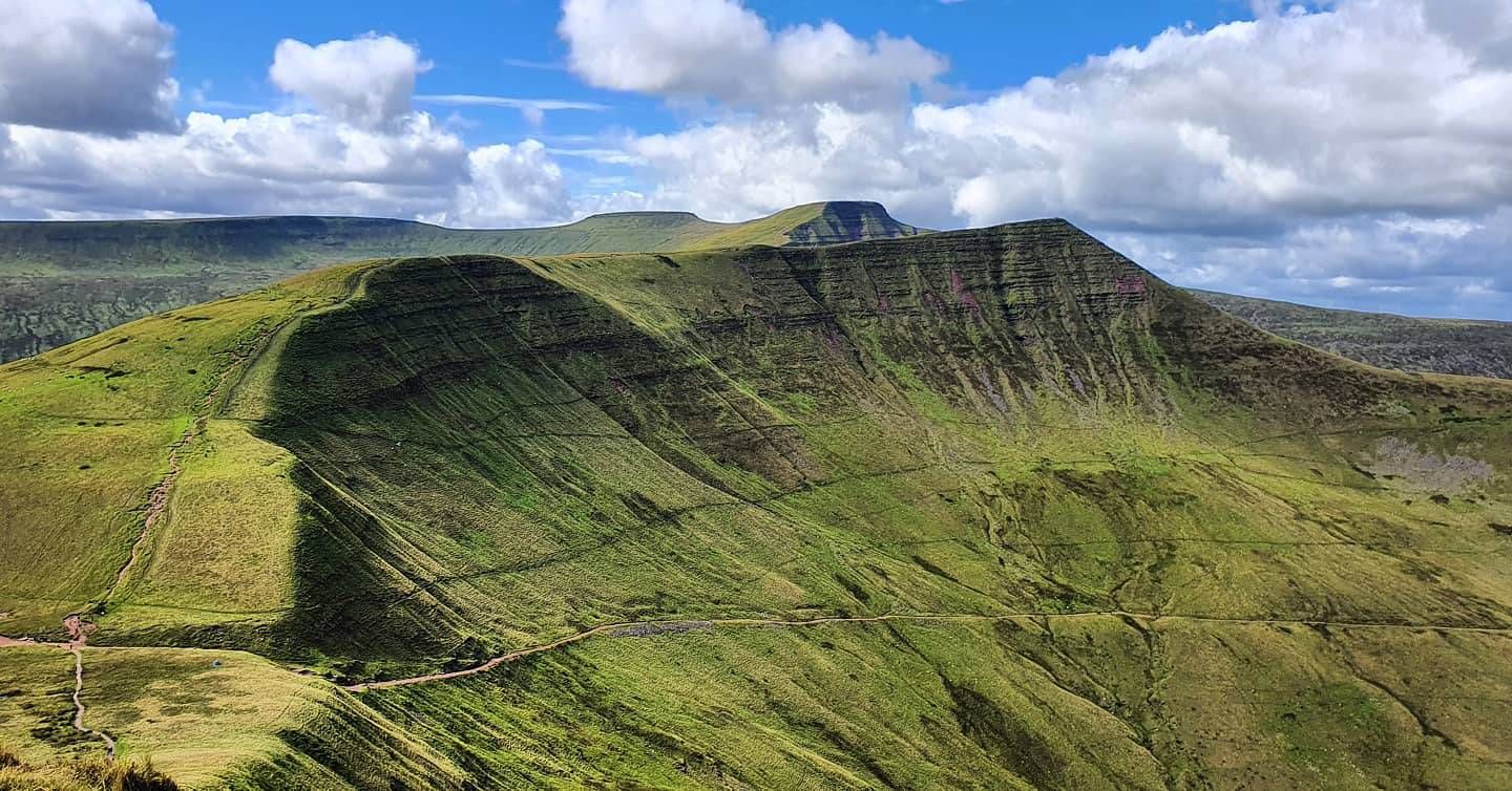
Beacons Way — Hike the high, emerald spine of South Wales
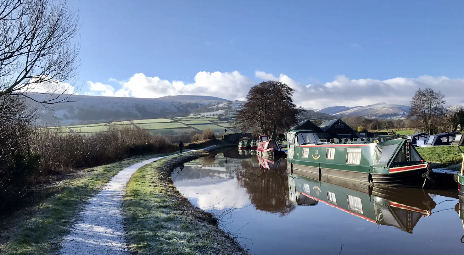
Usk Valley Walk — A river ramble into the Brecon Beacons
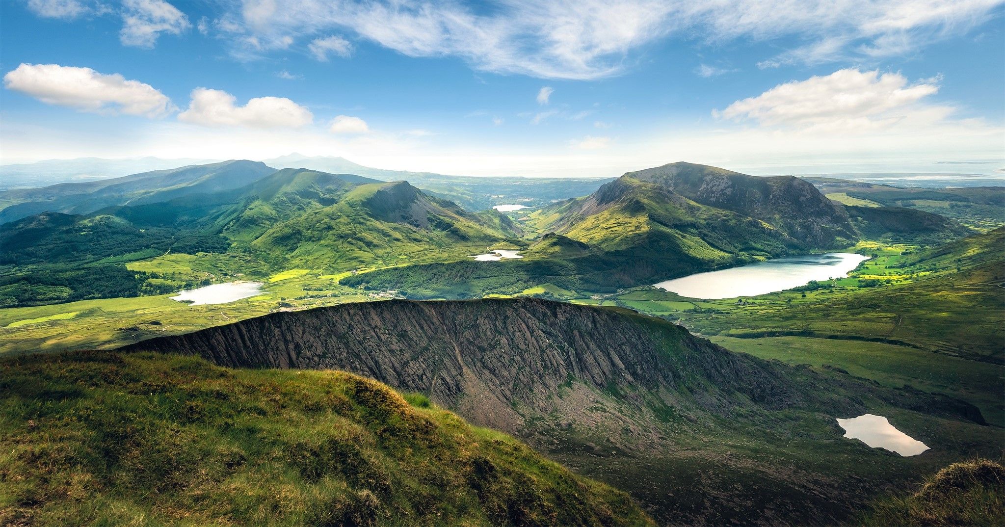
Cambrian Way — Hike the highest, wildest and most beautiful trail in Wales

Walk Britain – 90 car-free adventures in England, Wales and Scotland
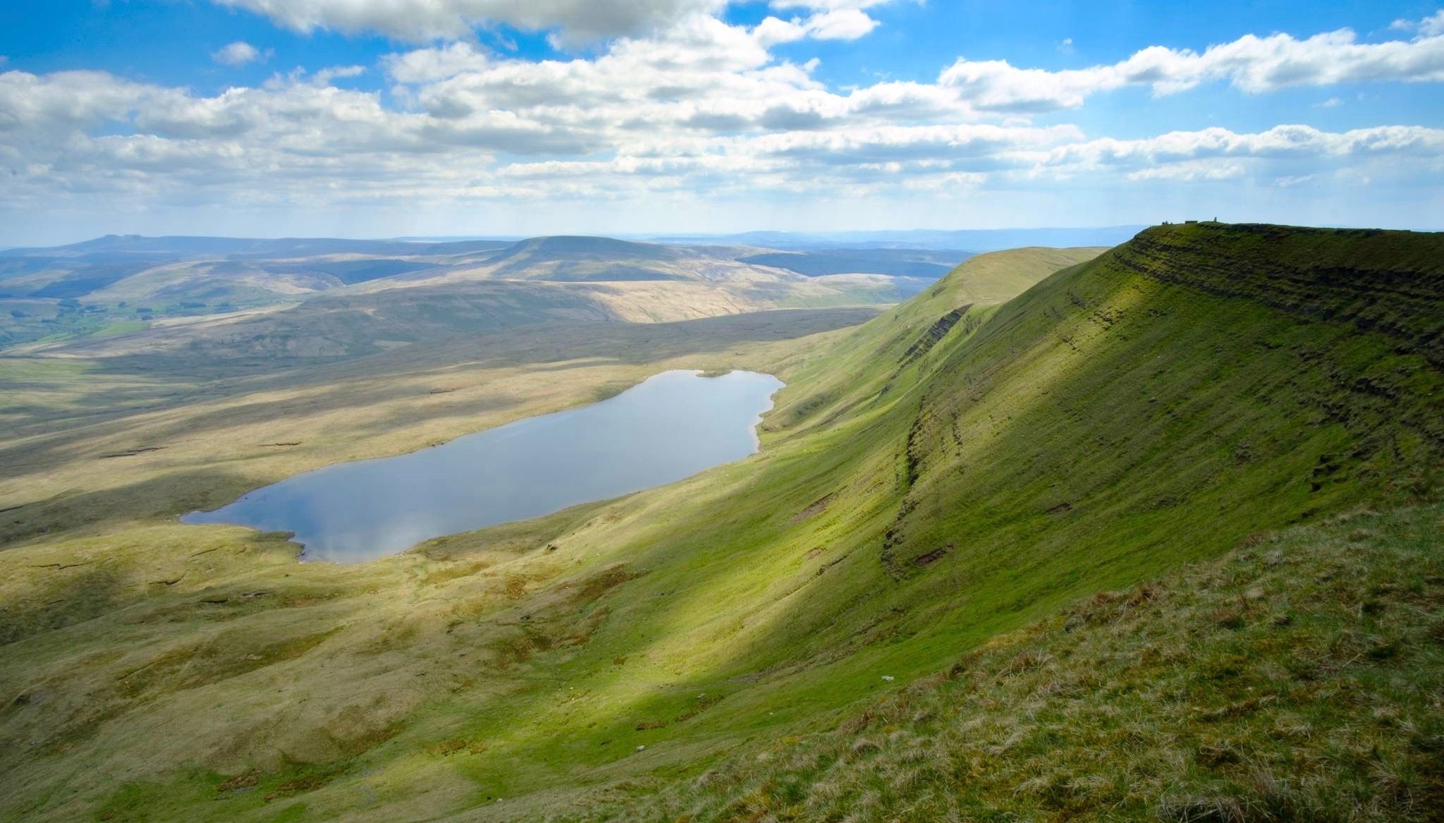
Breathtaking hikes in the Brecon Beacons National Park
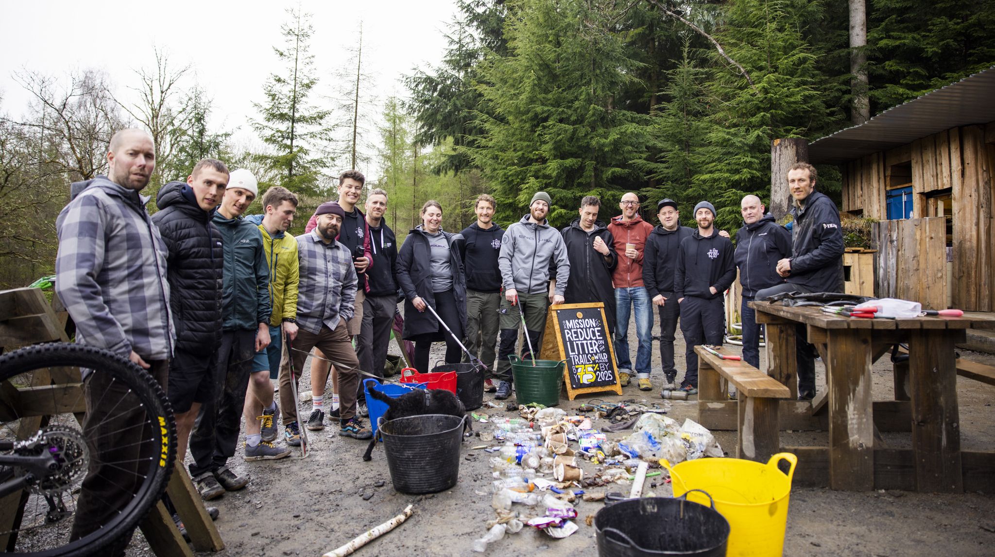
Adventures with a Purpose – our A-TEAMers’ best routes
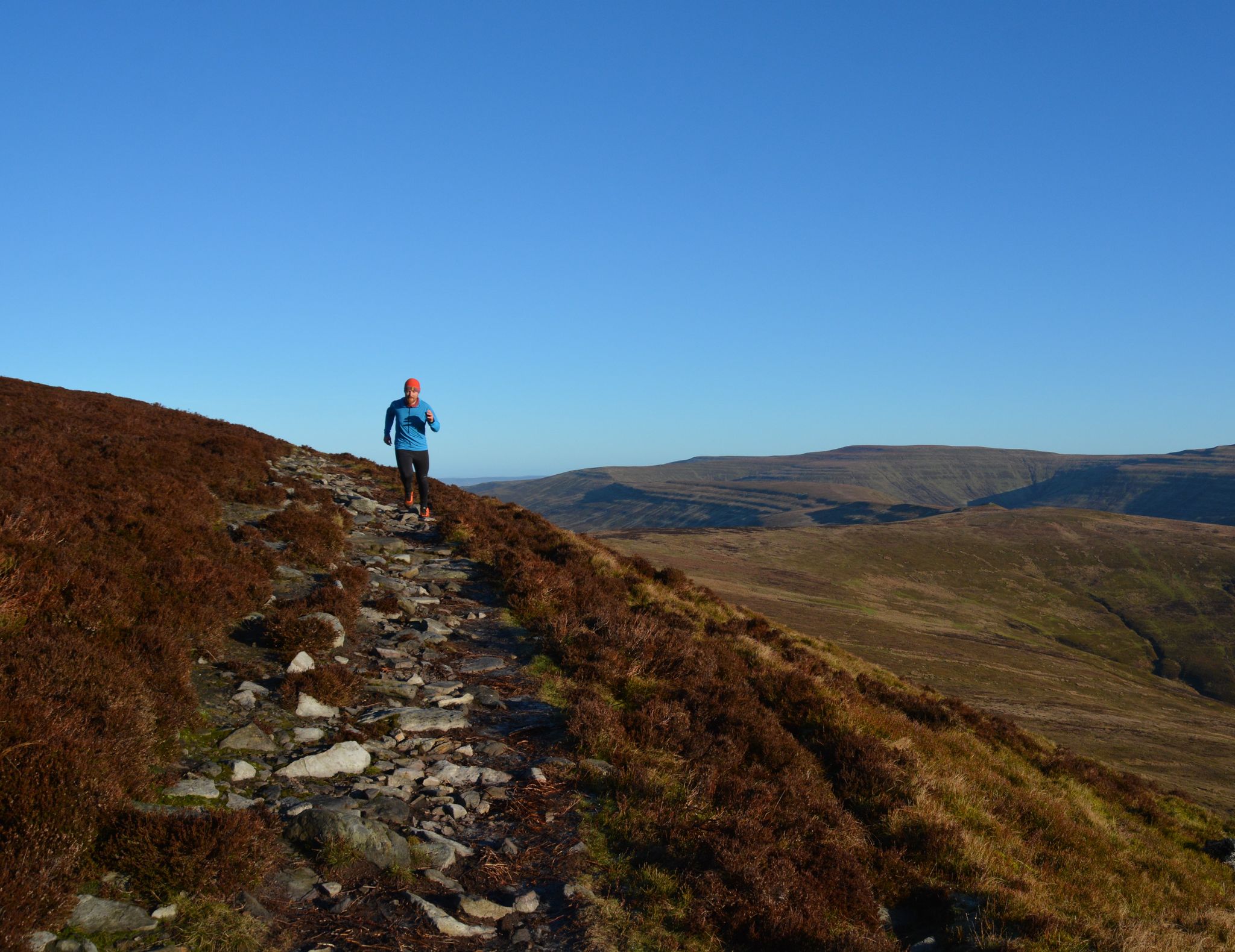
10 running adventures in the Bannau Brycheiniog (Brecon Beacons)
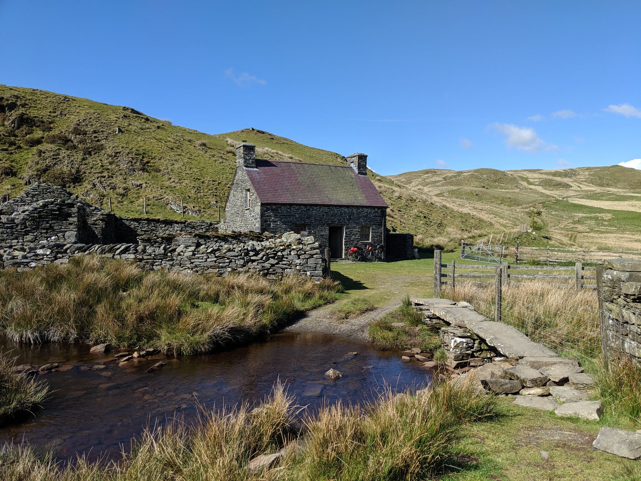
Bikepacking the best of British Bothies
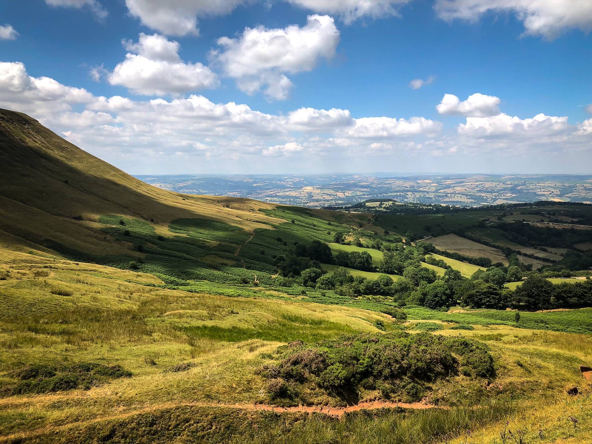
Border castles bikepacking — Welsh Marches Way
Other adventures around Abergavenny


Tips from the Community

very magical and impressive oaks
0
0

Benches directly on the Usk
0
0
Lovely little cafe in Linda Vista Gardens. Quiet outdoor seating, lots of flowers, coffee, and cake.
0
0

skip the main trail and walk along the north West bank of the stream for a more exciting route
0
0

This store of road is like being transported back to childhood with the huge hedgerows giving the impression of being in a large maze. Lots of wildlife too
0
0


The Cambrian Way is an iconic long-distance footpath that runs 298 miles (480 km) from Cardiff in the south to Conwy in the north. That distance comes with a challenging 22,500m (73,700ft) of height gain. This tough trail passes through some of the most spectacular and beautiful scenery in Wales. It can also be very remote, and in the north you will hit rugged terrain that will include high ridges and challenging mountains. You can do it in more attainable one-day sections, or you can be a purist and do it in a gruelling, continuous three-week hiking odyssey. Here on the southern flanks of the Sugarloaf, the terrain might be more sedate, but it is as equally as beautiful. The hike up from Abergavenny on this Cambrian Way section has good views of the Sugarloaf in front, across to the Blorenge in the south, and Skirrid Mawr to the east. Not for nothing was the Sugarloaf included in the Trail magazine’s Top 100 Britain's Greatest Mountains list.
2
0

Formally known as the Sugar Loaf Mountain and is one of the highest peaks in the heart of the Black Mountains. It stands at 1,955 feet high (596 metres). An iconic peak Its conical shape is reminiscent of a volcano, but the mountain is made of the same old red sandstone as the rest of the Black Mountains.
2
0
Frequently Asked Questions
How many bus-accessible hiking trails are available around Abergavenny?
There are over 35 hiking routes around Abergavenny that are easily accessible by bus, allowing you to explore the stunning landscapes without needing a car. These trails range in difficulty from easy strolls to more challenging mountain ascents.
Are there easy bus-accessible hikes suitable for beginners near Abergavenny?
Yes, Abergavenny offers several easy bus-accessible hikes perfect for beginners or those looking for a relaxed walk. A good option is the View of the Malvern Hills – Little Skirrid Summit loop from Abergavenny, which is just over 6 km long and offers gentle elevation. Another pleasant, easy route is the Abergavenny Market Hall loop from Abergavenny, providing a taste of the local area.
Can I find moderate bus-accessible hiking trails from Abergavenny bus station?
Absolutely. Many moderate trails are accessible by bus. For a rewarding experience, consider the Sugar Loaf Summit – Oak Woodlands of Sugar Loaf loop from Abergavenny. This route offers a good challenge with significant elevation gain and takes you through beautiful woodlands to the iconic summit. Another moderate option is the Abergavenny Bridge – Abergavenny Market Hall loop from Govilon, which provides a different perspective of the area.
Are there any longer or more challenging bus-accessible hikes in the Abergavenny area?
For those seeking a more strenuous adventure, the Abergavenny area provides challenging bus-accessible hikes. The Sugar Loaf Summit – Sugar Loaf Trail loop from Abergavenny is a difficult route, spanning over 16 km with considerable elevation, offering panoramic views from the summit. These longer trails allow for a deeper exploration of the Brecon Beacons National Park's eastern fringes.
What do other hikers say about the bus-accessible trails around Abergavenny?
The bus-accessible trails around Abergavenny are highly rated by the komoot community, with an average score of 4.6 stars. Reviewers often praise the diverse landscapes, from the iconic peaks like Sugar Loaf to the tranquil canal paths, and the convenience of starting directly from public transport stops. The stunning views across the Usk Valley and Black Mountains are frequently highlighted as a major draw.
Are there circular hiking routes that start and end at a bus stop in Abergavenny?
Yes, many of the bus-accessible routes around Abergavenny are circular, allowing you to start and finish your hike at the same bus stop without needing to retrace your steps. Examples include the Sugar Loaf Summit – Oak Woodlands of Sugar Loaf loop from Abergavenny and the View of the Malvern Hills – Little Skirrid Summit loop from Abergavenny, both designed as loops for convenience.
Can I hike to Sugar Loaf Mountain using public transport from Abergavenny?
Yes, Sugar Loaf Mountain is very accessible by public transport from Abergavenny. You can take a bus from Abergavenny bus station to start points for routes like the Sugar Loaf Summit – Oak Woodlands of Sugar Loaf loop from Abergavenny or the more challenging Sugar Loaf Summit – Sugar Loaf Trail loop from Abergavenny. These routes offer breathtaking panoramic views from the summit of this iconic conical mountain.
Are there bus-accessible routes to The Blorenge or Skirrid Fawr?
While direct bus routes to the immediate base of The Blorenge or Skirrid Fawr for hiking might require a short walk from the nearest bus stop, Abergavenny's bus network can get you close to these prominent peaks. From there, you can embark on trails leading to their summits. The Blorenge offers dizzying views over Abergavenny, while Skirrid Fawr, also known as the 'Holy Mountain,' provides challenging ascents and spectacular vistas across Herefordshire and the Black Mountains.
Are the bus-accessible hiking trails around Abergavenny family-friendly?
Many bus-accessible trails around Abergavenny are suitable for families. Easy and moderate routes, particularly those with less elevation gain or shorter distances, are ideal. The Monmouthshire & Brecon Canal, accessible via bus, offers flat, pleasant walks perfect for all ages. Always check the specific route details for distance and elevation to ensure it matches your family's capabilities.
Can I bring my dog on the bus-accessible hiking trails in Abergavenny?
Most hiking trails around Abergavenny are dog-friendly, provided your dog is kept under control, especially around livestock. When using public transport, check the specific bus operator's policy regarding dogs. Once on the trails, your dog can enjoy the varied landscapes, from open moorland to woodland paths. Remember to follow the Countryside Code and clean up after your pet.
What kind of natural features and viewpoints can I expect on these bus-accessible hikes?
The bus-accessible hikes around Abergavenny offer a rich variety of natural features and stunning viewpoints. You can expect ancient woodlands, tranquil river paths, and open moorland. From the summits of Sugar Loaf (Sugar Loaf Summit) and The Blorenge (Blorenge summit), you'll be treated to panoramic views across the Usk Valley, the Black Mountains, and even the Bristol Channel on clear days. The region is part of the Brecon Beacons National Park, ensuring diverse and beautiful environments.
Are there any historical sites or attractions accessible via bus-friendly hikes?
Yes, several historical sites and attractions are within reach of bus-friendly hikes. Abergavenny itself boasts the Abergavenny Castle and Museum, which can be incorporated into town-based walks. Further afield, the region is dotted with castles like Crickhowell Castle ruins and White Castle, though these might require a combination of bus travel and a longer walk to reach. The Blorenge is also part of the Blaenavon Industrial Landscape, a UNESCO World Heritage Site, blending natural beauty with industrial heritage.
Most popular routes around Abergavenny
Most popular attractions around Abergavenny

Get inspired with the komoot mobile app


Explore more
Browse the best Hikes in other regions.
