Lindenhardter Forst-Nordwest
Lindenhardter Forst-Nordwest
The best cycling routes around Lindenhardter Forst-Nordwest
4.5
(4488)
22,467
riders
590
rides
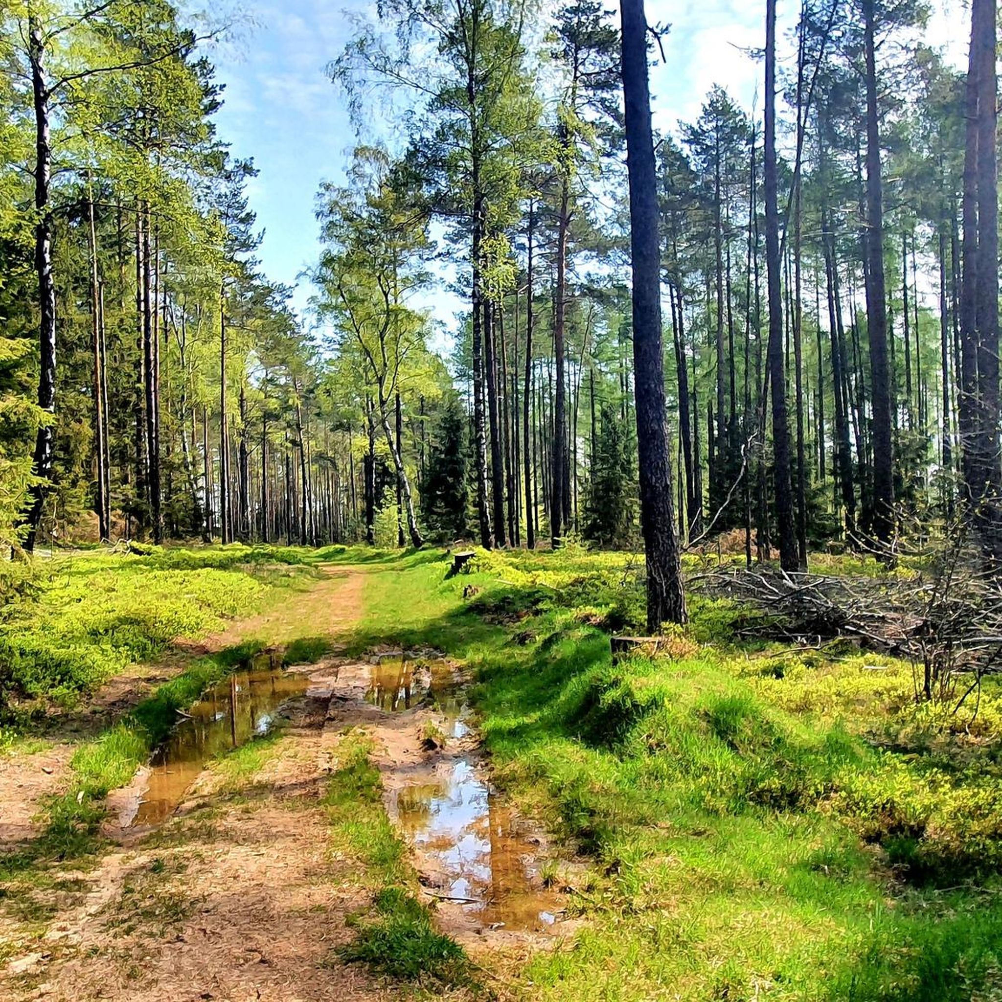
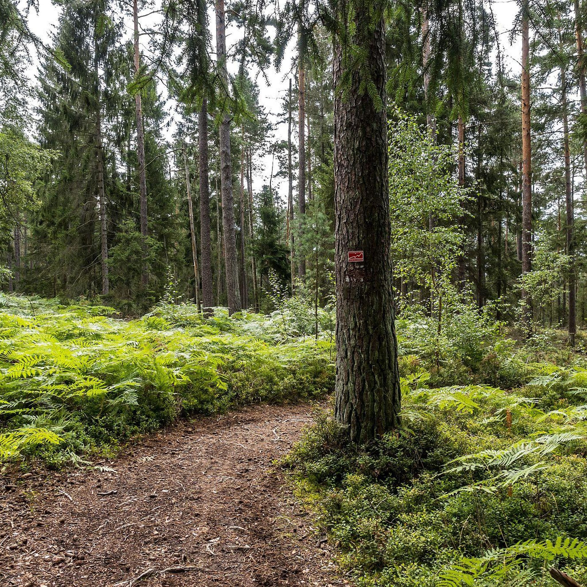
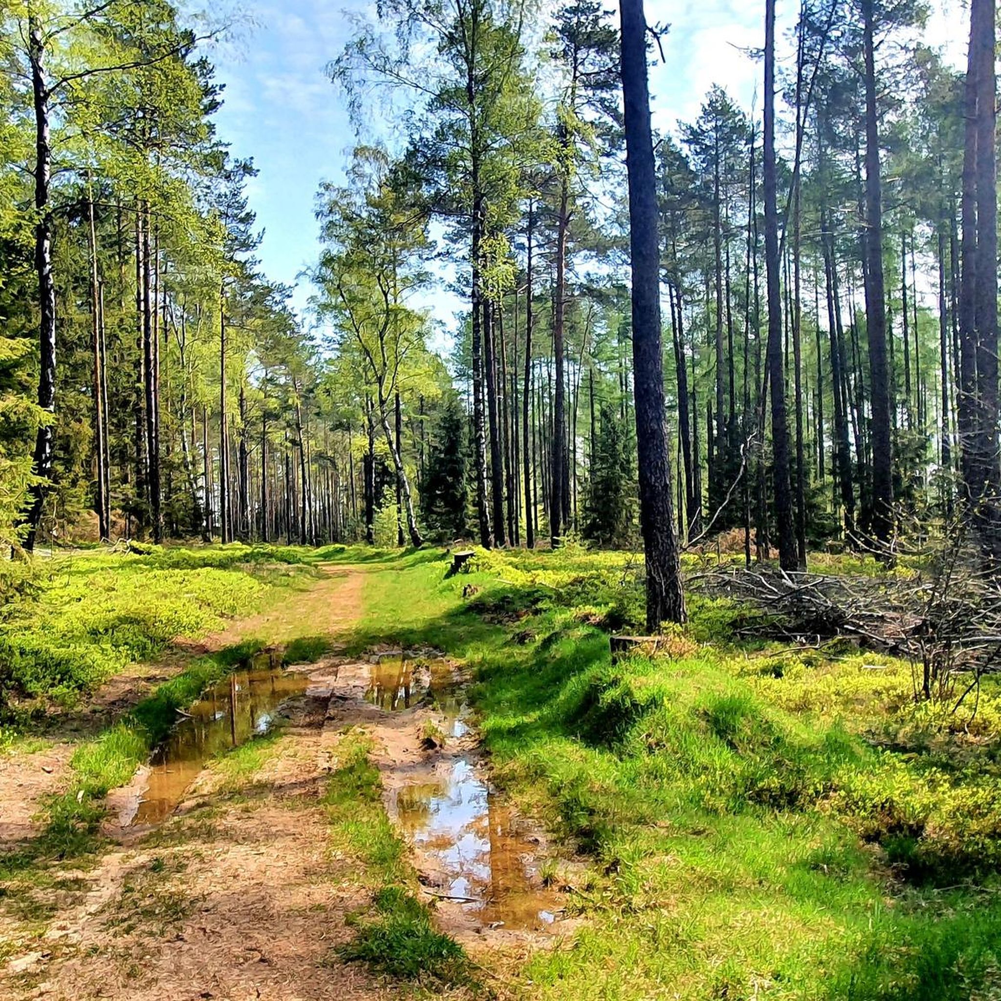
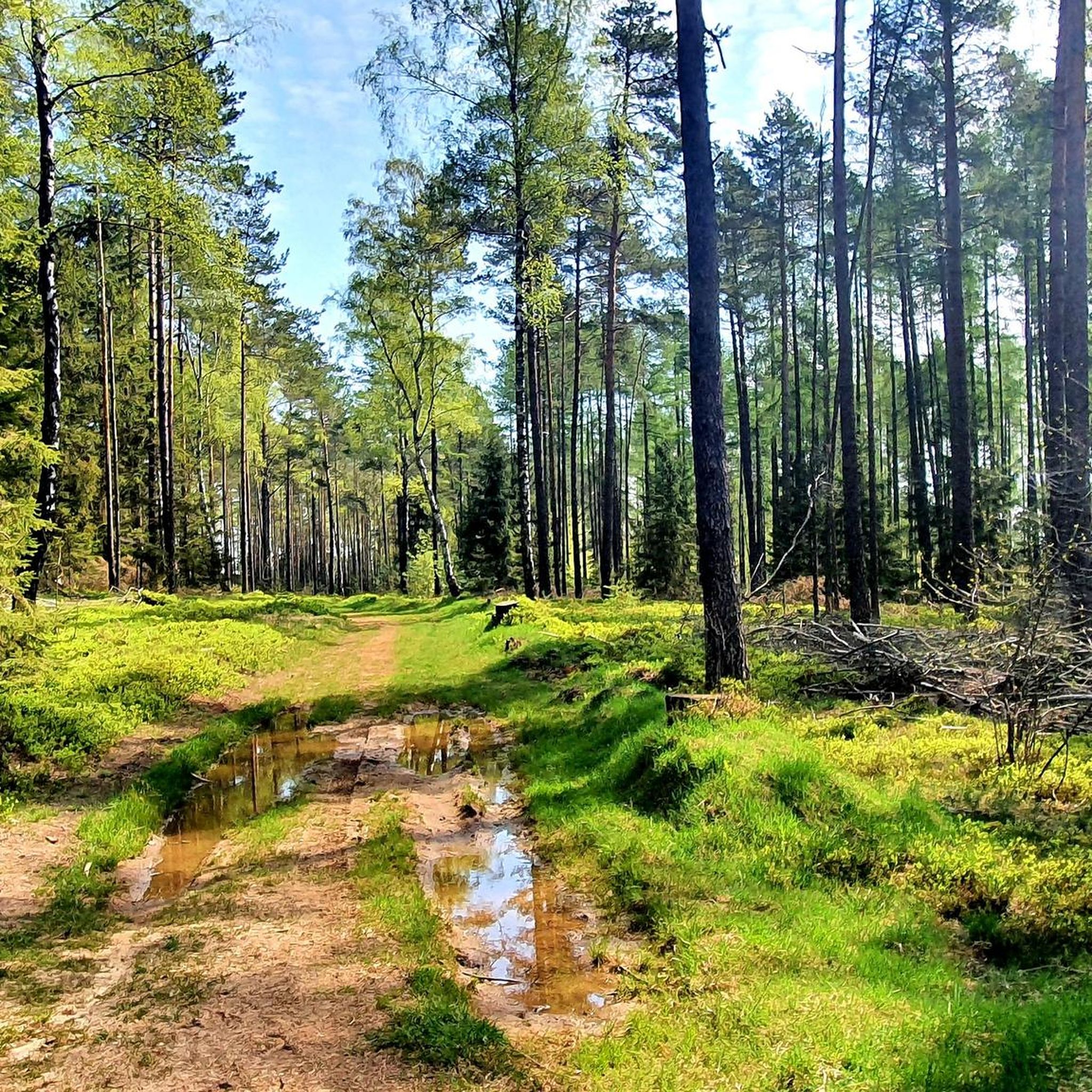
Touring cycling around Lindenhardter Forst-Nordwest offers routes through a landscape characterized by dense forests, gentle hills, and open rural areas. The region features a mix of natural and cultural points of interest, including historical sites and tranquil ponds. Elevations are generally moderate, making the area accessible for various cycling abilities. The terrain primarily consists of paved and well-maintained paths suitable for touring bicycles.
Best touring cycling routes around Lindenhardter Forst-Nordwest
- The most popular touring cycling route is Rock cellars near…
Last updated: November 17, 2026
4.8
(13)
43
riders
Moderate bike ride. Good fitness required. Mostly paved surfaces.
4.8
(19)
74
riders
40.8km
02:45
440m
440m
Moderate bike ride. Good fitness required. Mostly paved surfaces.

4.0
(9)
29
riders
Easy bike ride. Mostly paved surfaces.
4.8
(17)
46
riders
27.3km
02:00
340m
340m
Moderate bike ride. Good fitness required. Mostly paved surfaces.
5.0
(1)
23
riders
Easy bike ride. Mostly paved surfaces.
Get access to more routes and recommendations from other explorers.
Already have an account?
Our route recommendations are based on thousands of hikes, rides, and runs completed by other people on komoot.
Start today with a free account
Your next adventure awaits.

Tips from the Community

Beautiful pond located in a nature reserve near Schnabelwaid. Plenty of nature here. Many animals and aquatic creatures can be observed. A bench invites you to pause. Useful equipment: suitable outdoor clothing, mosquito and sun protection, and binoculars 🔭☀️🐟
0
0

In the heart of Waischenfeld, a stone's throw from the historic Wiesent bridge, at Marktplatz 3 you'll find a true monument of Franconian milling history: the Wehrl city mill. The impressive structure captivates visitors primarily with its technical masterpiece – the mill houses one of the largest undershot water wheels in the entire Franconian Switzerland, which turns tirelessly and loudly in the waters of the Wiesent. The history of the house is inextricably linked to the Wehrl family, in whose proud possession the estate has been since 1698. Even a fire disaster in 1948, which destroyed the building down to its foundations, could not break the tradition: already the following year, the mill was rebuilt in its current, stately form. After grain from the surrounding area was diligently milled here until 2007, the historic water power today serves clean electricity generation for the region. An absolutely photogenic stop on any city tour, perfectly combining history and modernity.
3
0
Anyone who follows the Wiesent downstream from the historic Eichenmühle mill experiences one of the most untouched and picturesque sections of the entire valley. This section of the trail combines spectacular geology, centuries-old cultural history, and a vibrant river ecosystem in a confined space and is best explored on foot or by bike on the paved, natural farm track. The adventure begins directly below the old mill property at the Truppach confluence. Here, the upper Wiesent valley celebrates a small, quiet river spectacle when the Truppach, coming from the direction of Obernsees, joins from the left. Framed by dense alder stands and willows, the confluence area has an almost enchanted atmosphere. Looking back from the small Truppach bridge, you are offered a fantastic panorama: in the foreground, the water merges, while in the background, the historic half-timbered mill and the imposing dolomite walls rise up. Continuing along the river course in the shade of these mighty, bright rock formations, you reach the historic river weir on the Wiesent. Where the water now gently babbles over the barrier, the economic heart of the valley once beat. For centuries, the weir regulated the water level for the so-called "Wässerwiesen" – a sophisticated irrigation system that is now a UNESCO World Heritage site. At the same time, the facility was used for fishing, which is reflected in the name of the subsequent hamlet, Aalkorb. The designation, over a thousand years old, goes back to wooden fish traps that were hung in the flowing Wiesent at precisely these weirs. Today, the former barrier has been ecologically redesigned so that rare fish species such as the brown trout can once again easily pass the obstacle on their migrations. Behind the weir, the valley widens slightly, and the path leads along striking, vertical climbing rocks directly into the elongated district of Waischenfeld, Nankendorf. Here, the Wiesent flows quietly and peacefully through the village, past old willows, and invites you to stop for a well-deserved refreshment after an eventful passage through nature.
4
0
The marketplace of Waischenfeld, officially named Bischof-Nausea-Platz today, forms the historical and social heart of the state-recognized climatic health resort in the Wiesenttal valley. Characterized by well-preserved Franconian half-timbered houses, the area reflects over 700 years of town history. The square extends across the valley floor directly below the striking Jura cliffs and the medieval Waischenfeld Castle with its famous round tower, the "Steinerner Beutel". As a central hub, it houses important municipal facilities such as the town hall and the tourist information office in the historic Baderhaus, and also serves as a backdrop for traditional markets and town festivals. Furthermore, the square functions as an ideal starting point for the historical city tour and the short panorama trail.
4
0
The Mistelbach cycle path is a central cycling connection in Bayreuth, linking the city center with the southwestern surroundings. It is considered one of the "established axes" in the city's cycle network. The path leads from the Bayreuth city center (near the Rotmain-Center) along the Mistelbach out of town towards the municipality of Mistelbach. It is part of the regional connection from Bayreuth to Hollfeld, which partly runs along a former railway line. The route is considered easy to moderate and is well suited for families due to only short uphill sections.
1
0

Like most river sources, it's rather unspectacular, but if you're planning to cycle the Main cycle path anyway...
2
0


Frequently Asked Questions
What are the difficulty levels of touring cycling routes in Lindenhardter Forst-Nordwest?
Lindenhardter Forst-Nordwest offers a diverse range of touring cycling routes suitable for various skill levels. You'll find approximately 189 easy routes, 204 moderate routes, and 172 difficult routes, ensuring options for beginners and experienced cyclists alike.
Are there family-friendly touring cycling routes in Lindenhardter Forst-Nordwest?
Yes, the region has several family-friendly options. Many of the 189 easy routes are suitable for families, often featuring well-maintained paths and gentle elevations. A good example is the Obernsees – Obernsees Cultural Barn loop from Hummeltal, which is an easy 15.3-mile path winding through rural landscapes.
What kind of terrain can I expect on the touring cycling routes?
The terrain in Lindenhardter Forst-Nordwest primarily consists of paved and well-maintained paths. You'll cycle through dense forests, gentle hills, and open rural areas, making it ideal for touring bicycles.
Are there any circular touring cycling routes available?
Yes, many routes in Lindenhardter Forst-Nordwest are designed as loops, offering convenient circular tours. For instance, the Rock cellars near Rödensdorf – Mistelbach–Mistelgau Cycle Path loop from Hummeltal is a popular circular route connecting historical sites with a scenic cycle path.
What are some notable landmarks or points of interest I can explore along the routes?
The region is rich in natural and cultural points of interest. You can discover historical sites like the rock cellars near Rödensdorf, or natural beauty spots such as the Herzogweiher Pond. For those interested in unique geological features, the Devil's Hole (Teufelsloch) gorge is also nearby.
Are there any waterfalls accessible by bike in the area?
Yes, the region features some impressive waterfalls. You can find the Devil’s Hole Waterfalls and the Arzloch Waterfall, which are highlights in the nearby gorges and offer scenic stops during your ride.
What do other touring cyclists enjoy most about cycling in Lindenhardter Forst-Nordwest?
The komoot community highly rates the touring cycling experience here, with an average score of 4.6 stars from over 3700 reviews. Cyclists often praise the varied terrain, the mix of dense forests and open rural areas, and the well-maintained paths that make for enjoyable rides.
Are there any routes that offer scenic viewpoints?
Absolutely. The View of Rauher Kulm – Craimoos Pond loop from Landkreis Bayreuth is a great option, specifically designed to lead through scenic viewpoints and past tranquil ponds, offering picturesque vistas of the surrounding landscape.
Can I find cafes or places to rest along the touring cycling routes?
While specific cafes are not listed for every route, the routes often pass through or near villages and towns where you can find opportunities for refreshments and rest stops. Planning your route with komoot allows you to identify such points along your chosen path.
What is the best season for touring cycling in Lindenhardter Forst-Nordwest?
The region is generally pleasant for touring cycling from spring through autumn. Spring brings blooming landscapes, summer offers warm weather for longer rides, and autumn provides beautiful foliage. Always check local weather conditions before heading out.
Are there any longer touring cycling routes for more advanced cyclists?
For those seeking a longer challenge, routes like the Gasthof Zum Fichta – Maximilian Street, Bayreuth loop from Weiglathal offer a moderate difficulty over 21.2 miles (34.2 km) with significant elevation changes, providing a more demanding experience.
How many touring cycling routes are there in total in Lindenhardter Forst-Nordwest?
There are over 560 touring cycling routes available in Lindenhardter Forst-Nordwest, offering a vast network for exploration. This includes a good balance of easy, moderate, and difficult options to suit all preferences.
Most popular routes around Lindenhardter Forst-Nordwest
Most popular attractions around Lindenhardter Forst-Nordwest

Get inspired with the komoot mobile app


Explore more
Browse the best Cycling routes in other regions.
