The best hikes from bus stations around Crickhowell
4.5
(767)
6,356
hikers
23
hikes
Bus station hiking trails around Crickhowell offer access to the diverse landscapes of the Brecon Beacons National Park. The region features prominent mountain peaks like Pen Cerrig-calch and Pen Allt-mawr within the Black Mountains, alongside the tranquil Usk Valley and its river. Hikers can explore limestone cliffs of the Llangattock Escarpment and the historic Table Mountain, providing varied terrain from gentle riverside paths to challenging mountain ascents.
Best bus station hiking trails around Crickhowell
- The most popular bus station hiking…
Last updated: May 10, 2026
4.4
(25)
123
hikers
11.3km
03:28
350m
350m
Moderate hike. Good fitness required. Easily-accessible paths. Suitable for all skill levels.
4.9
(12)
56
hikers
17.3km
05:24
660m
660m
Hard hike. Very good fitness required. Easily-accessible paths. Suitable for all skill levels.

Sign up for free
38
hikers
16.3km
05:21
730m
730m
Hard hike. Very good fitness required. Easily-accessible paths. Suitable for all skill levels.
4.6
(5)
37
hikers
17.3km
04:35
160m
160m
Moderate hike. Good fitness required. Easily-accessible paths. Suitable for all skill levels.
5.0
(1)
41
hikers
10.6km
03:45
610m
610m
Moderate hike. Good fitness required. Easily-accessible paths. Suitable for all skill levels.
Get access to more routes and recommendations from other explorers.
Sign up for free
Already have an account?
Our route recommendations are based on thousands of hikes, rides, and runs completed by other people on komoot.
Start today with a free account
Your next adventure awaits.
Login or Signup
Popular around Crickhowell
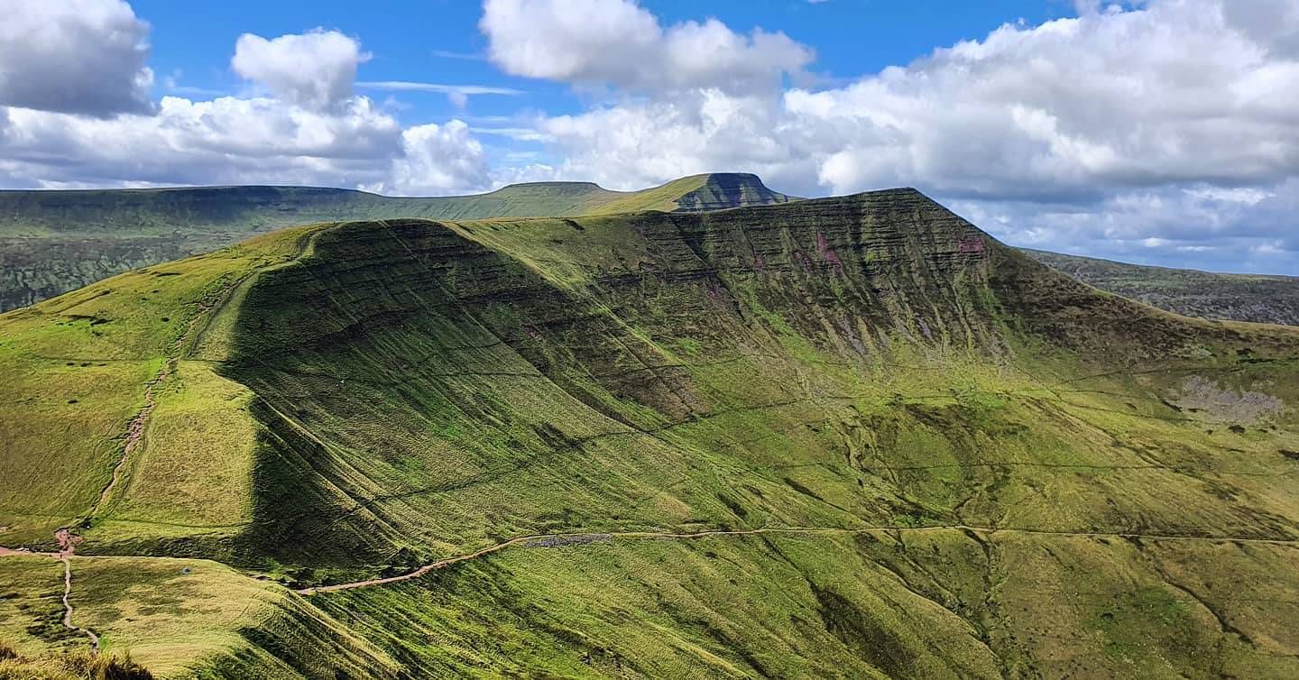
Beacons Way — Hike the high, emerald spine of South Wales

O Fon i Fynwy — Exploring Wales on foot from top to bottom
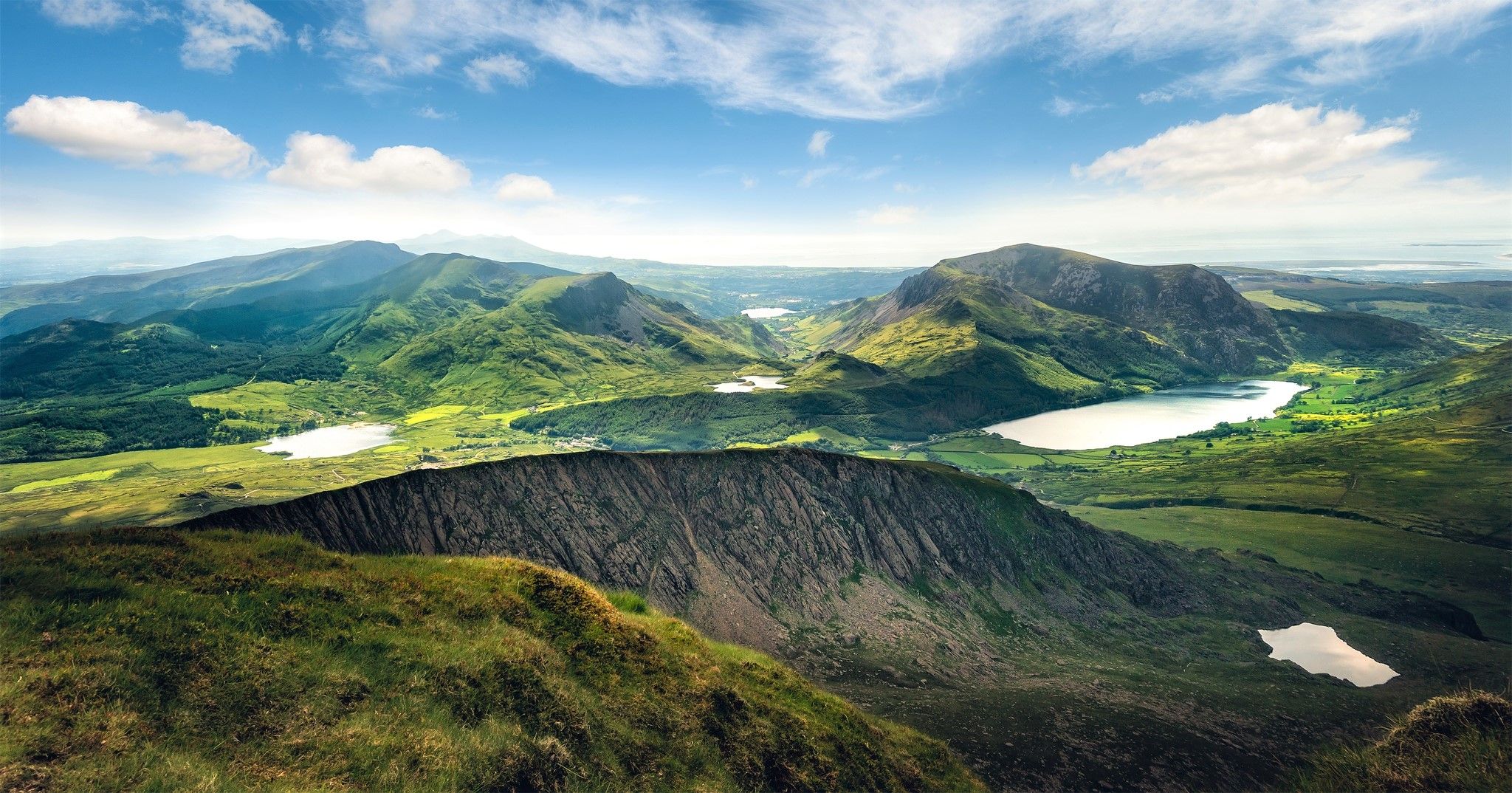
Cambrian Way — Hike the highest, wildest and most beautiful trail in Wales

Walk Britain – 90 car-free adventures in England, Wales and Scotland
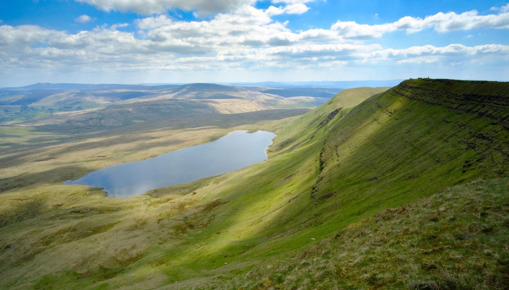
Breathtaking hikes in the Brecon Beacons National Park
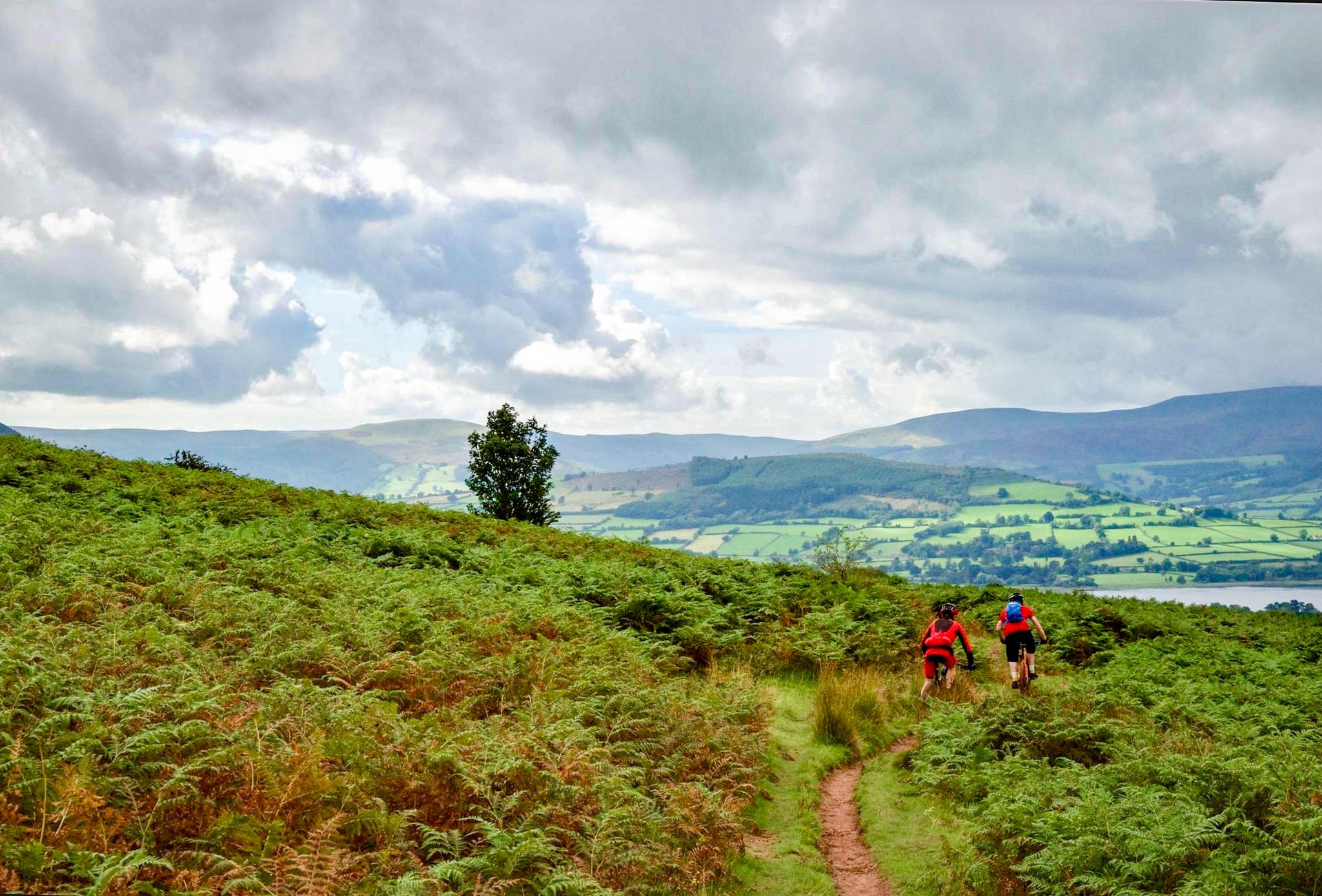
Mountain biking in the Brecons Beacons and Black Mountains
Other adventures around Crickhowell


Tips from the Community

Nice path to summit with some large stepping stones depending on which way you go.
0
0

Very nice bridge not for traffic though as it’s a single lane track with passing gaps for pedestrians.
0
0


800 year old remains of a Norman motte and bailey castle in a pleasant community play park.
1
0
In-wall stairs built for pedestrians to use to climb down on to the canal below, these steps are marked with a bridle path sign just nestled to the side of the Roman bridge that sits over the canal.
1
0

If riding across bridge into Crick, take the first right hand road (next to the pub) to avoid traffic going up the hill and into town. It also takes you straight tup to the high st.
0
0
Frequently Asked Questions
How many bus-accessible hiking trails are there around Crickhowell?
There are over 20 hiking trails around Crickhowell that are easily accessible from bus stations, allowing you to enjoy car-free adventures. These routes range in difficulty from easy strolls to challenging mountain ascents.
What kind of terrain can I expect on hikes from Crickhowell bus stations?
Hikes accessible from Crickhowell bus stations offer a diverse range of terrain. You can expect gentle walks along the tranquil Usk Valley and the Monmouthshire & Brecon Canal, as well as more challenging ascents into the dramatic Black Mountains, including peaks like Pen Cerrig-calch and Pen Allt-mawr. The area also features the unique limestone cliffs of the Llangattock Escarpment.
Are there any easy or moderate hiking options available directly from Crickhowell bus stops?
Yes, there are plenty of options for all fitness levels. Our guide features 4 easy and 10 moderate hiking routes that start conveniently from bus stations. For a moderate experience, consider the River Usk – Craig y Cilau: Crags and Caves loop from Crickhowell, offering a mix of riverside paths and scenic climbs.
Can I find circular hiking routes that start and end at a bus station in Crickhowell?
Absolutely. Many of the routes in this guide are circular, designed to bring you back to your starting point, often a bus station. This makes planning your car-free adventure straightforward. An example of a challenging circular route is the Pen Cerrig-calch summit – Pen Allt-mawr loop from Crickhowell, offering extensive views.
What are some notable landmarks or viewpoints I can see on these bus-accessible hikes?
The bus-accessible hikes around Crickhowell offer stunning views and historical landmarks. You can explore the remains of an Iron Age hill fort on Table Mountain (Crug Hywel) overlooking Crickhowell, or enjoy panoramic vistas from summits like Pen Cerrig-calch summit. The routes also pass by the peaceful River Usk and sections of the historic Monmouthshire & Brecon Canal. For a challenging hike with a prominent landmark, try the Crickhowell Castle ruins – Sugar Loaf Summit loop from Crickhowell.
Are the bus station hiking trails around Crickhowell suitable for families?
Crickhowell offers a range of trails, and many of the easier and moderate bus-accessible routes are suitable for families. These often follow the Usk Valley or the canal, providing relatively flat and accessible paths. Always check the route's distance and elevation gain to ensure it matches your family's capabilities. The Crickhowell Resource and Information Centre (CRiC) can also provide local walk booklets with family-friendly suggestions.
Are dogs allowed on the hiking trails accessible from Crickhowell bus stations?
Generally, dogs are welcome on most public footpaths and trails in the Brecon Beacons National Park, including those accessible from Crickhowell bus stations. However, it's crucial to keep dogs on a lead, especially near livestock and during bird nesting seasons. Always follow the Countryside Code and clean up after your dog. Some specific areas or nature reserves might have stricter rules, so always check local signage.
What do other hikers enjoy most about hiking from bus stations in Crickhowell?
The komoot community highly rates the hiking experiences around Crickhowell, with an average score of 4.4 stars from over 700 ratings. Hikers frequently praise the convenience of starting directly from public transport, the diverse landscapes ranging from gentle river valleys to challenging mountain peaks, and the stunning panoramic views from summits like Pen Cerrig-calch. The well-maintained paths and the ability to explore the Brecon Beacons car-free are also often highlighted.
Are there any places to eat or drink near the bus stations or along the trails in Crickhowell?
Crickhowell itself has a good selection of cafes, pubs, and shops where you can refuel before or after your hike. Many trails, especially those closer to the town or passing through villages, might have options for a pub lunch or a coffee break. For specific recommendations, it's best to check local listings or inquire at the Crickhowell Resource and Information Centre (CRiC) upon arrival.
What is the best time of year to go hiking from Crickhowell bus stations?
Crickhowell offers great hiking opportunities year-round. Spring brings vibrant wildflowers and milder temperatures, while autumn showcases stunning foliage in the Usk Valley and Black Mountains. Summer is ideal for longer days and higher mountain routes, though trails can be busier. Winter offers crisp, clear views, but higher routes may require appropriate gear for snow and ice. Always check weather forecasts, especially for mountain trails, as conditions can change rapidly.
Can I find routes that take me to lakes or natural monuments from Crickhowell bus stations?
While direct bus routes to all specific lakes might be limited, some hikes from Crickhowell can lead you to areas with natural monuments and viewpoints. For example, you can find routes that offer views towards Keeper's Pond (Pen-Ffordd-Goch Pond) or the Blorenge summit. The region is rich in natural beauty, including various summits and viewpoints that are often part of longer hiking loops.
Most popular routes around Crickhowell
Most popular attractions around Crickhowell

Get inspired with the komoot mobile app


Explore more
Browse the best Hikes in other regions.
