The best hikes from bus stations around Muker
4.6
(602)
4,487
hikers
39
hikes
Bus station hiking trails around Muker navigate a landscape characterized by rolling hills, expansive moorlands, and river valleys carved by the River Swale. The area features internationally important species-rich hay meadows and impressive Carboniferous limestone gorges with waterfalls. Traditional Dales scenery, including stone farmhouses and dry stone walls, defines the region's character. This diverse terrain offers a range of hiking experiences, from riverside paths to more challenging ascents.
Best bus station hiking trails around Muker
- The most popular bus station hiking route is East Gill Force – Muker Wildflower Meadows loop from Keld, a 6.2 miles (10.0 km) trail that takes 2 hours 47 minutes to complete. This moderate route explores the renowned wildflower meadows and leads to the impressive East Gill Force waterfall.
- Another top favourite among local hikers is East Gill Force – Blakethwaite Smelt Mill Ruins loop from Keld, a difficult 11.6 miles (18.7 km) path. This trail offers varied terrain, passing historical ruins and scenic river sections.
- Local hikers also love the The Farmers Arms, Muker – Muker Wildflower Meadows loop from Muker, a 4.9 miles (7.9 km) trail leading through species-rich hay meadows, often completed in about 2 hours 15 minutes.
- Hiking around Muker is defined by rolling hills, river valleys, and ancient hay meadows. The network of bus station hiking trails offers options for various ability levels, from gentle riverside walks to more demanding ascents.
- The routes in Muker are highly rated by the komoot community with an average score of 4.6 stars from over 500 reviews. More than 4000 hikers have used komoot to explore Muker's varied terrain.
Last updated: May 26, 2026
4.8
(54)
501
hikers
Moderate hike. Good fitness required. Easily-accessible paths. Suitable for all skill levels.
4.9
(16)
107
hikers
Hard hike. Very good fitness required. Mostly accessible paths. Sure-footedness required.

Sign up for free
4.8
(13)
125
hikers
Moderate hike. Good fitness required. Easily-accessible paths. Suitable for all skill levels.
4.5
(15)
71
hikers
14.2km
04:04
320m
320m
Moderate hike. Good fitness required. Easily-accessible paths. Suitable for all skill levels.
4.9
(7)
44
hikers
7.91km
02:15
180m
180m
Moderate hike. Good fitness required. Easily-accessible paths. Suitable for all skill levels.
Get access to more routes and recommendations from other explorers.
Sign up for free
Already have an account?
Our route recommendations are based on thousands of hikes, rides, and runs completed by other people on komoot.
Start today with a free account
Your next adventure awaits.
Login or Signup
Popular around Muker
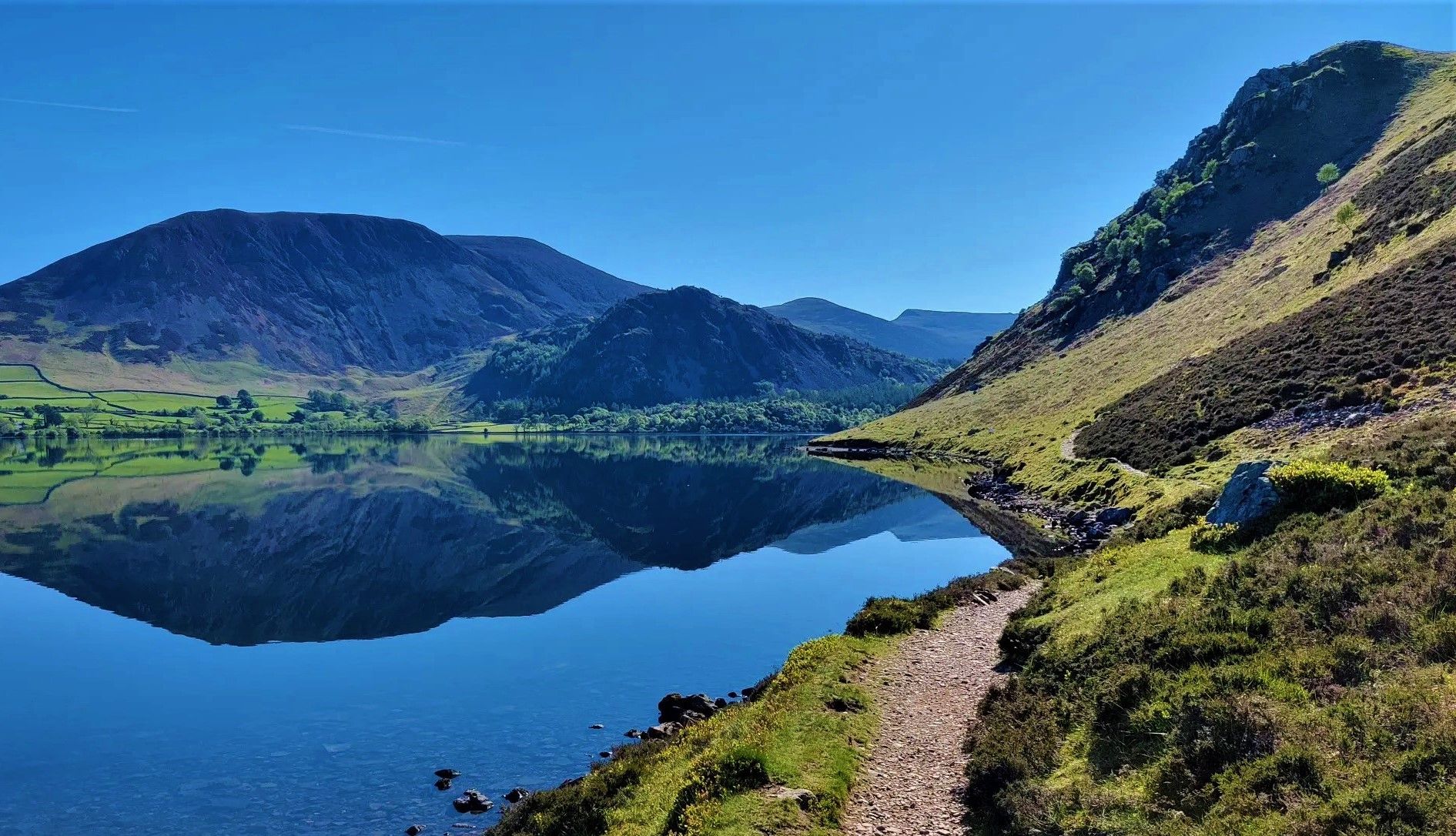
Wainwright's Coast to Coast — Hike the width of England in 13 stages
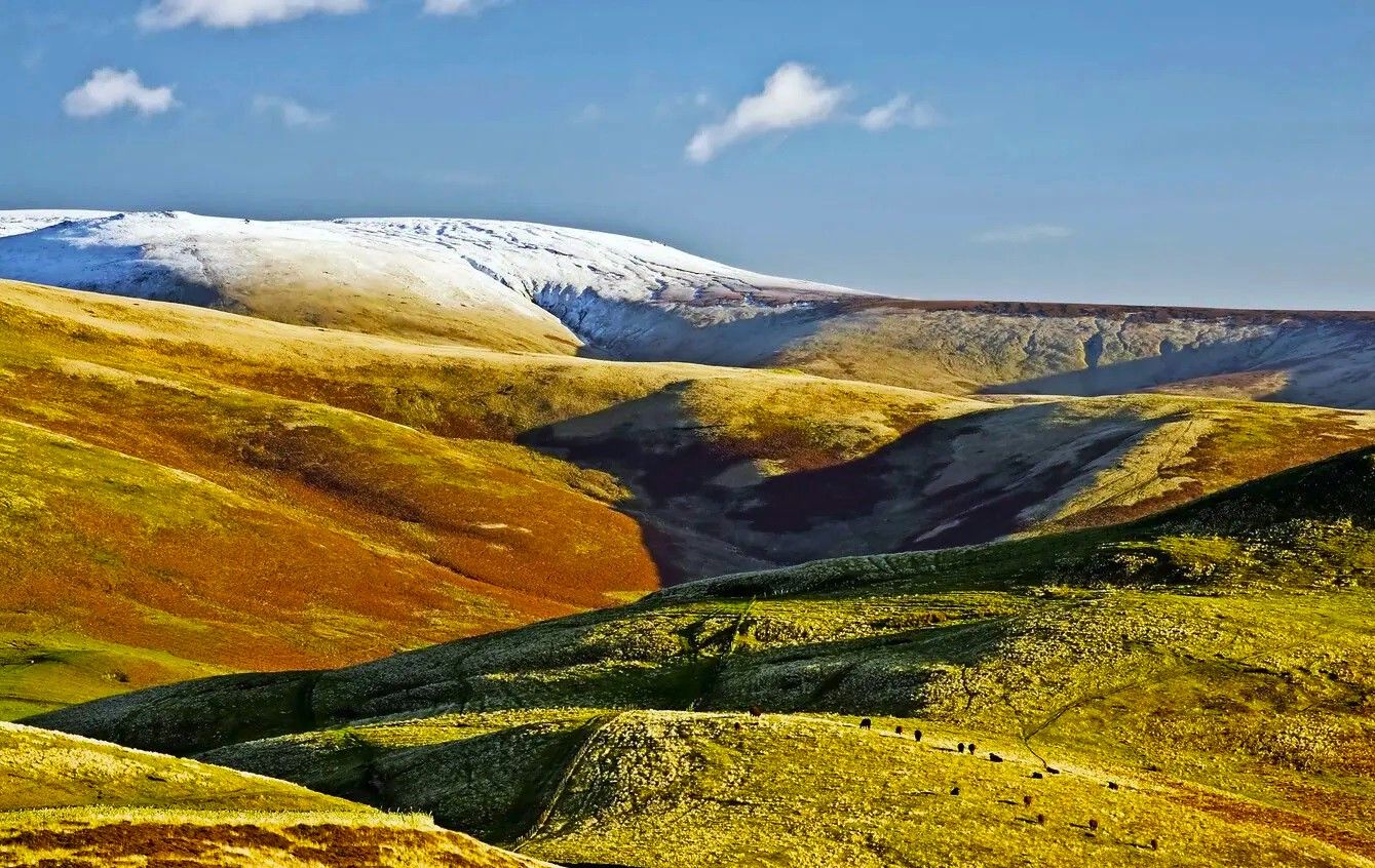
Pennine Way – Take on England's ultimate long-distance hike
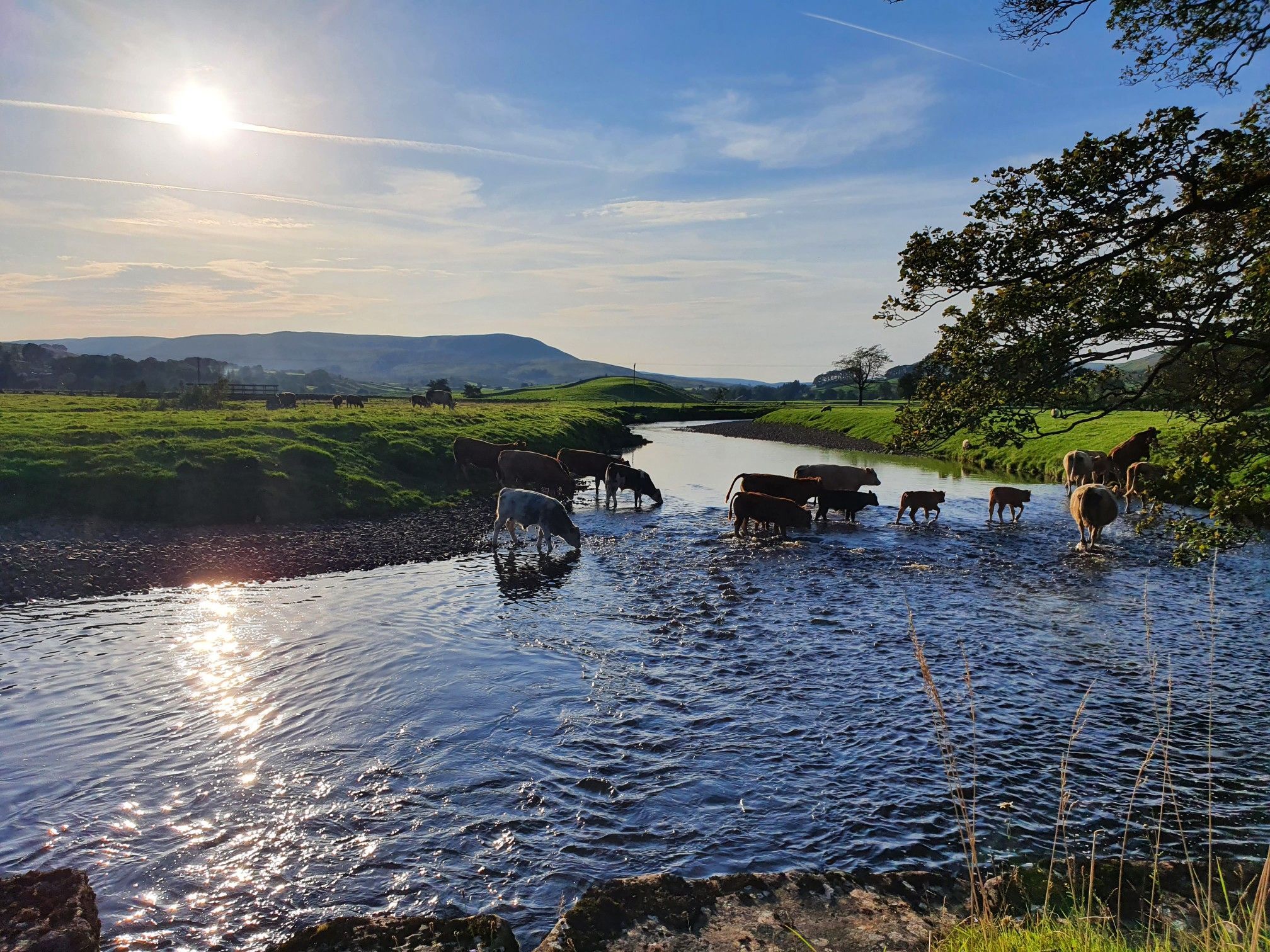
Hike alongside all creatures great and small – Herriot Way
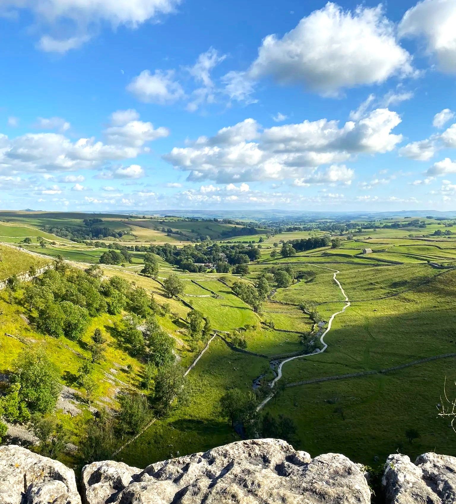
Heavenly hikes in ‘God’s Own County’ – Yorkshire Dales
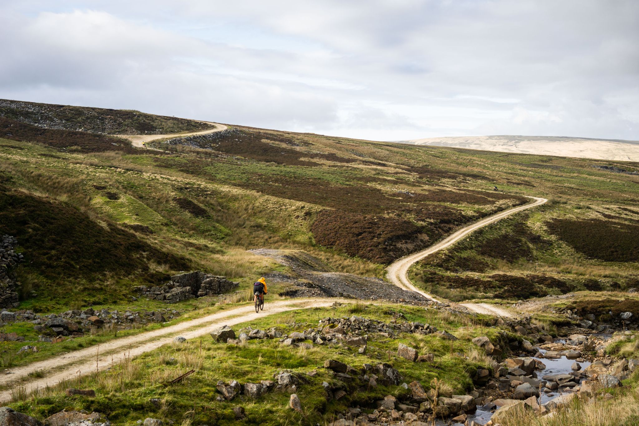
Second City Divide — Rough Stuff Of The North
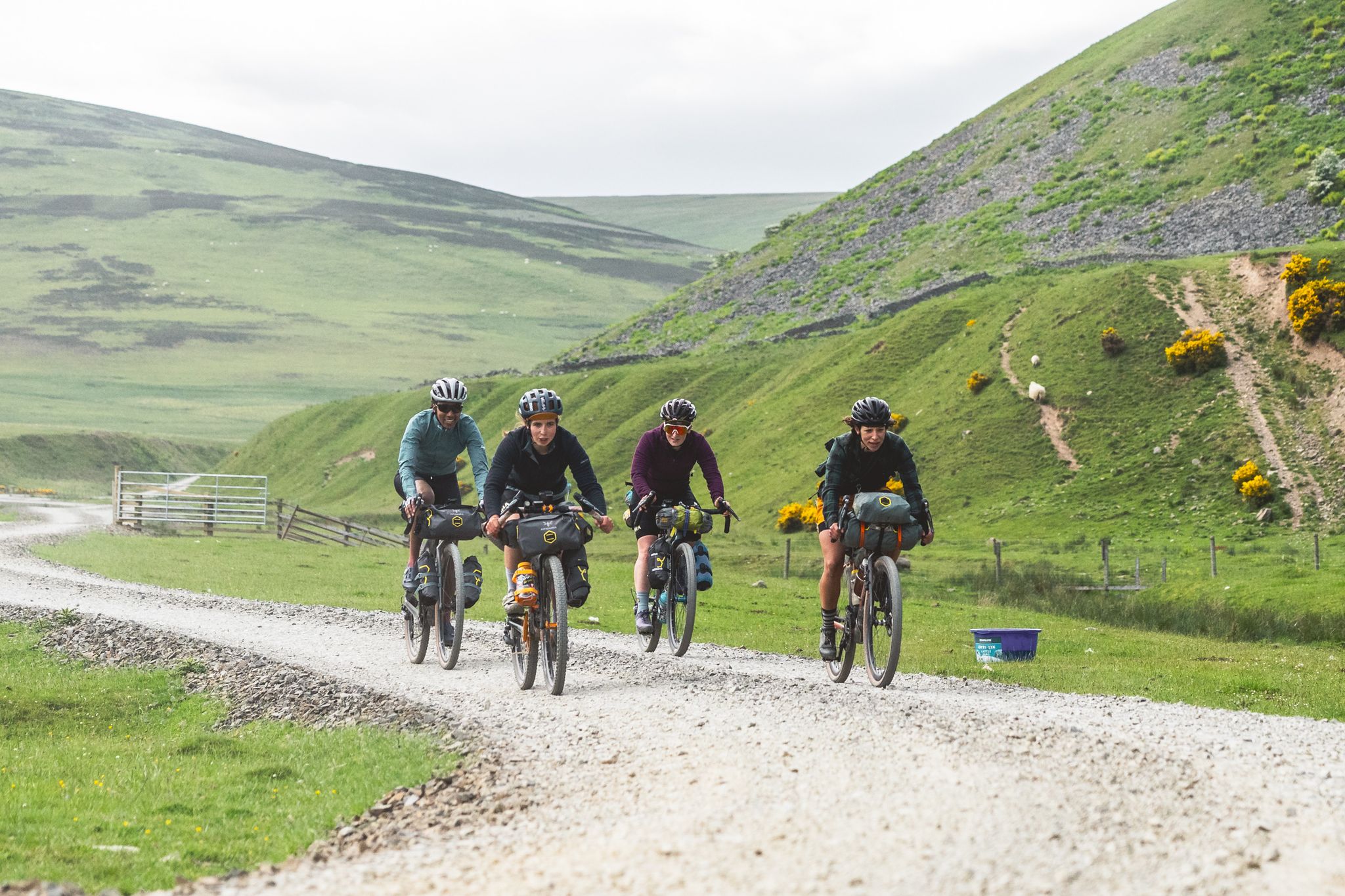
The Pennine Rally — Bikepacking Edinburgh to Manchester
Other adventures around Muker


Tips from the Community

The pub is a community-owned pub as of August 2024, purchased for the benefit of locals and visitors.
0
0
The church is one of the few surviving examples of a church built during the Elizabethan era. Consecrated in 1580, it serves as a central landmark in Upper Swaledale within the Yorkshire Dales.
0
0


"But there was something else that bothered me: 'My relative Edward's books are generally arranged alphabetically, but he always made exceptions,' I said, looking at our guest. 'Is that also the case in your father's library?' - 'I never paid attention to that, because I don't read books,' was the surprisingly gruff reply. 'You probably have better things to do,' I replied, refraining from a biting comment. 'Life writes the strangest stories. Even the most imaginative novelist can't keep up with them,' Holmes quoted one of his favorite theories. 'Nevertheless, I can assure you that you're missing out on something if you completely forgo reading books.' 'I certainly can't imagine a life without books,' I agreed, but decided not to mention that I was actually a bookseller by trade.' (from the book 'Sherlock Holmes and the Trail of the Yeti' by Franziska Franke)
0
0

An ideal spot for lunch or a break. Great views into the valley and the River Swale
0
0

We called in here on a busy but wet bank holiday Sunday after hiking nearby Hoove Hill. Despite the horrid weather, the pub cheered us up no end. We had nice service—I mean, really nice, friendly smiles, polite, attentive, and were super quick. The food was also good, not the biggest portions I have had in a pub, but it was all very filling, quick, and well presented. All this at a decent price too. £42, for a main course meal with two drinks. It is obvious that the highest pub in Britain also has high standards, see you again soon!
0
0
The ruins of this farm makes for a really nice photo backdrop. This is valley is simply gorgeous!
0
0
A stunning waterfall, not the biggest out there, but it is in a gorgeous location and very accessible from Keld village. A beautiful place to bring the kids and have a picnic.
1
0
Frequently Asked Questions
How many hiking trails are accessible directly from bus stops around Muker?
There are over 35 hiking routes around Muker that you can start directly from a bus station. These trails offer a convenient way to explore the stunning Swaledale landscape without needing a car.
Are there easy hiking routes available from Muker bus stops?
Yes, Muker offers several easy hiking routes accessible from bus stops, perfect for a relaxed stroll. You can find 7 easy trails in the area, with many more moderate options if you're looking for a bit more challenge.
What kind of terrain can I expect on bus station hikes around Muker?
The terrain around Muker is diverse, featuring rolling hills, expansive moorlands, and picturesque river valleys carved by the River Swale. You'll encounter traditional Dales scenery with stone field barns and dry stone walls, as well as flagged stone paths through the famous hay meadows. Some routes may include ascents and descents through limestone gorges.
Can I see waterfalls on hikes starting from Muker bus stations?
Absolutely! The Muker area is known for its impressive waterfalls, locally called 'forces.' Many trails will lead you past them. For example, the East Gill Force – Muker Wildflower Meadows loop from Keld allows you to experience the beauty of East Gill Force. Other notable waterfalls in the region include Kisdon Force, Wain Wath Force, and Catrake Force.
Are there circular routes available from Muker bus stops?
Yes, many of the bus-accessible hikes around Muker are circular, allowing you to return to your starting point without retracing your steps. A great example is the The Farmers Arms, Muker – Muker Wildflower Meadows loop from Muker, which offers a lovely circular walk through the village and its famous meadows.
What unique natural features can I explore on these trails?
Muker is famous for its internationally important, species-rich hay meadows, which are a vibrant sight, especially in May and June. You can walk through these protected areas on trails like the Muker Wildflower Meadows – East Gill Force loop from Keld. The region also features impressive Carboniferous limestone gorges and the scenic River Swale.
Are the bus station hikes around Muker suitable for families?
Many of the trails around Muker are suitable for families, especially the easier and moderate routes that offer gentle gradients and well-maintained paths. The walks through the hay meadows are particularly popular with families, providing beautiful scenery and a chance to spot wildflowers. Always check the route difficulty and length to ensure it matches your family's capabilities.
What landmarks or points of interest can I explore on bus-accessible hikes?
Beyond the natural beauty, you can discover several interesting landmarks. Hikers can take a detour to explore the abandoned 17th-century farm house of Crackpot Hall, offering far-reaching views. Not far from Muker, you can also find the unique Buttertubs Pass Climb from Hawes, known for its deep limestone potholes. The area is also rich in traditional Dales scenery, including numerous stone field barns.
Are dogs allowed on the hiking trails accessible from Muker bus stops?
Yes, dogs are generally welcome on the hiking trails around Muker. However, as much of the area is working farmland and home to sensitive wildlife, it's crucial to keep dogs on a lead, especially near livestock and in the hay meadows. Always follow the Countryside Code.
What do other hikers enjoy most about hiking in Muker?
The area is highly rated by the komoot community, with an average score of 4.6 stars from over 560 ratings. Reviewers often praise the stunning and varied natural features, the tranquility of the unspoiled environment, and the vibrant display of wildflowers in the hay meadows during spring and early summer. The convenience of starting directly from bus stops is also a frequently highlighted benefit.
When is the best time to visit Muker for hiking?
Muker offers beautiful hiking experiences year-round, but the best time often depends on what you want to see. May and June are particularly popular for witnessing the species-rich hay meadows in full bloom. Summer provides warmer weather for longer hikes, while autumn brings stunning colours to the Dales landscape. Winter walks can be magical, but require appropriate gear and checking weather conditions.
Most popular routes around Muker
Most popular attractions around Muker

Get inspired with the komoot mobile app


Explore more
Browse the best Hikes in other regions.
