The best hikes from bus stations around Osmotherley
4.7
(298)
2,706
hikers
16
hikes
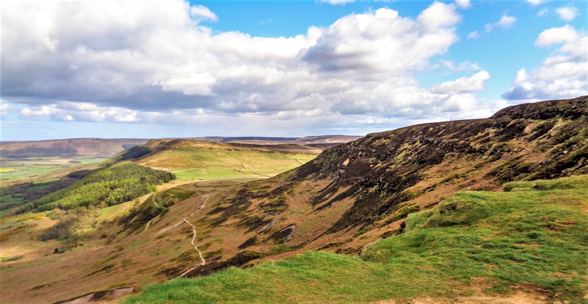
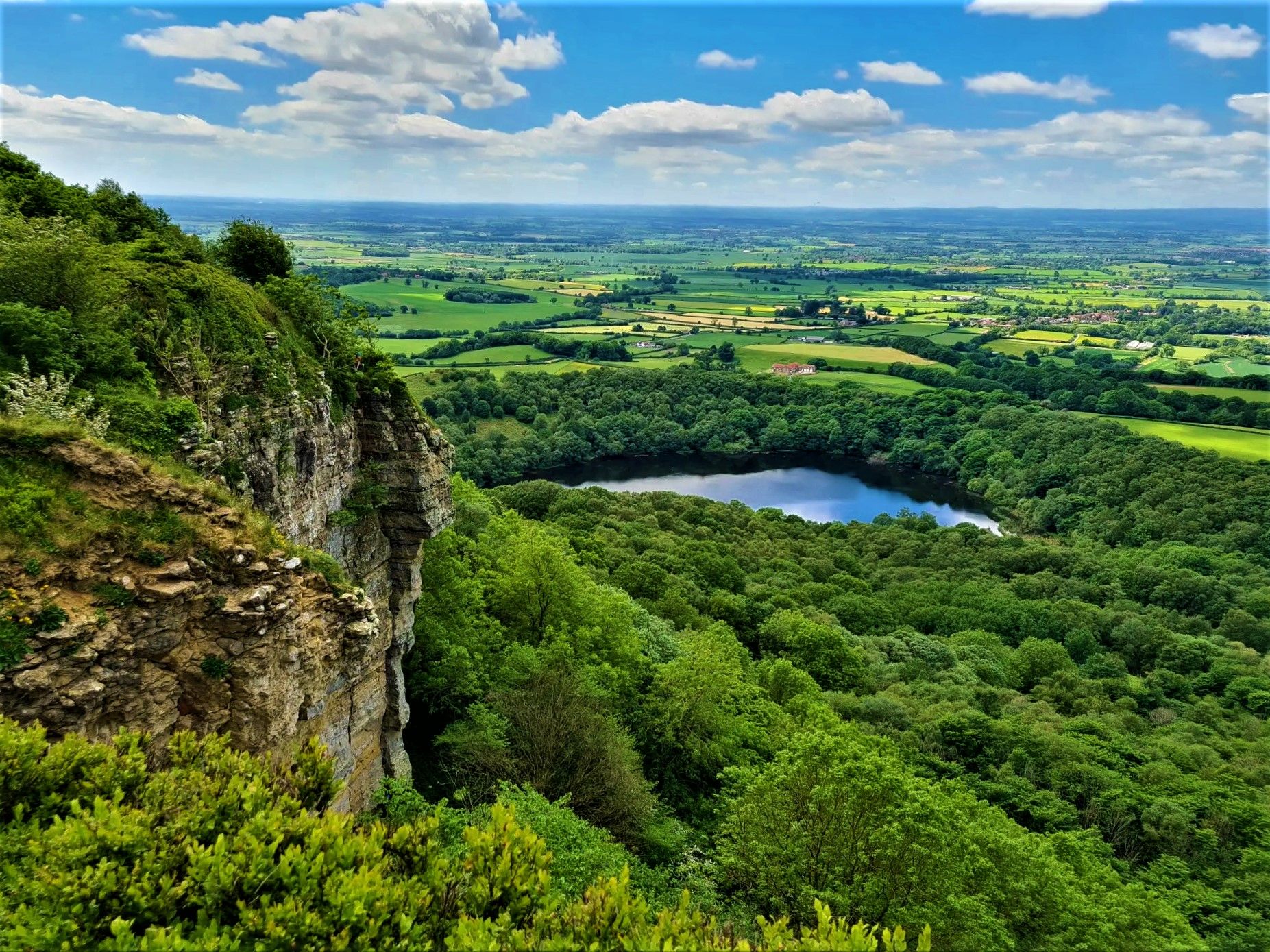
Hiking around Osmotherley offers access to diverse landscapes on the western edge of the North York Moors National Park. The region features rolling Cleveland Hills and Hambleton Hills, providing expansive views across the Vale of York. Hikers can explore a mix of dense woodlands, such as Big Wood and Thimbleby Bank Plantation, and tranquil water features like Cod Beck and Cod Beck Reservoir. Distinctive geological formations, including The Wainstones, also characterize the area's varied terrain.
Best bus station hiking trails around Osmotherley
- The most popular bus station hiking route is Osmotherley South End Climb – Cod Beck Reservoir loop from Osmotherley, a 3.3 miles (5.3 km) trail that takes 1 hour 25 minutes to complete. This easy route explores the area around Cod Beck Reservoir and connects with sections of the Cleveland Way.
- Another top favourite among local hikers is Scarth Wood Moor – Osmotherley Village loop from Osmotherley, an easy 3.9 miles (6.3 km) path. This trail offers views across moorland and includes a pleasant walk through Osmotherley village.
- Local hikers also love the Upper Oakdale Reservoir – The Queen Catherine Hotel loop from Osmotherley, an 8.6 miles (13.9 km) trail leading through varied terrain including reservoir views, often completed in about 3 hours 56 minutes.
- Hiking around Osmotherley is defined by moorland, woodlands, reservoirs, and hills. The network offers options for different ability levels, from easy loops to more challenging routes.
- The routes in Osmotherley are highly rated by the komoot community with an average score of 4.7 stars from over 280 reviews. More than 2600 hikers have used komoot to explore Osmotherley's varied terrain.
Last updated: May 26, 2026
4.7
(11)
128
hikers
Easy hike. Great for any fitness level. Easily-accessible paths. Suitable for all skill levels.
5.0
(1)
34
hikers
6.28km
01:48
150m
150m
Easy hike. Great for any fitness level. Easily-accessible paths. Suitable for all skill levels.

Sign up for free
14
hikers
13.9km
03:56
300m
300m
Moderate hike. Good fitness required. Easily-accessible paths. Suitable for all skill levels.
5.0
(3)
21
hikers
7.19km
02:03
160m
160m
Moderate hike. Good fitness required. Easily-accessible paths. Suitable for all skill levels.
4.3
(4)
13
hikers
Hard hike. Very good fitness required. Easily-accessible paths. Suitable for all skill levels.
Get access to more routes and recommendations from other explorers.
Sign up for free
Already have an account?
Our route recommendations are based on thousands of hikes, rides, and runs completed by other people on komoot.
Start today with a free account
Your next adventure awaits.
Login or Signup


Other adventures around Osmotherley


Tips from the Community


Stayed at one of the local pubs, was good but their internet connection was non-existent, had to pay for a 24hr hotspot with EE
0
0
One of three pubs in the village of Osmotherly.
1
0
You’ll have to jump over the wall and fence from the footpath to touch the trig pillar
0
0
Expansive views full of heather with Roesberry Topping in the distance
1
0

Lovely spot for a break directly next to the footpath with a good view over the Vale of Mowbray. Beware sometimes there is cattle.
0
0


Limekiln house 19th century inn..only bumps left today unfortunately
0
0
Frequently Asked Questions
How many bus station hiking trails are available in Osmotherley?
Our guide features 16 diverse hiking routes that start directly from bus stations around Osmotherley, making it easy to explore the region without a car. These trails range from easy strolls to more challenging excursions.
Are there easy or beginner-friendly hiking routes accessible by bus in Osmotherley?
Yes, Osmotherley offers several easy hiking routes perfect for beginners or those looking for a relaxed walk. For example, the Osmotherley South End Climb – Cod Beck Reservoir loop is an easy 5.3 km trail with minimal elevation gain, offering pleasant views around the reservoir. Another great option is the Scarth Wood Moor – Osmotherley Village loop, which is 6.3 km and also rated easy.
What kind of landscapes and natural features can I expect to see on bus-accessible hikes around Osmotherley?
Hikes from Osmotherley's bus stations offer a rich variety of landscapes. You'll encounter the rolling **Cleveland Hills** and **Hambleton Hills** with expansive views across the Vale of York, dense woodlands like **Big Wood** and **Thimbleby Bank Plantation**, and the tranquil waters of Cod Beck Reservoir. Distinctive geological formations such as The Wainstones also provide impressive sights.
Are there any historical sites or attractions reachable from bus station hikes in Osmotherley?
Absolutely. Many routes offer access to significant historical sites. You can walk to the 14th-century Carthusian **Mount Grace Priory**, one of the best-preserved in the UK. The historic Osmotherley Village Green and Medieval Cross is also a notable landmark within the village itself, often passed on local routes.
Can I find circular hiking routes starting from bus stops in Osmotherley?
Yes, many of the bus-accessible routes in Osmotherley are circular, allowing you to start and end your hike at the same bus stop. Examples include the Osmotherley South End Climb – Cod Beck Reservoir loop and the Scarth Wood Moor – Osmotherley Village loop, both offering convenient circular experiences.
Are the bus station hiking trails in Osmotherley suitable for families?
Yes, Osmotherley offers several family-friendly walks, particularly the easier, shorter circular routes around Cod Beck Reservoir or through local woodlands. These trails provide gentle terrain and engaging scenery suitable for all ages.
Are dogs allowed on the hiking trails accessible by bus in Osmotherley?
Most public footpaths and trails around Osmotherley are dog-friendly, provided dogs are kept under control, especially near livestock. It's always best to keep dogs on a lead in sensitive areas or during nesting seasons. Remember to clean up after your dog to help keep the trails enjoyable for everyone.
What are some notable viewpoints or scenic spots along these bus-accessible routes?
Many trails offer stunning vistas. You can reach viewpoints like View from Beacon Hill Summit, which provides expansive panoramas. The area around Carlton Bank Summit Trig Point also offers breathtaking views across the Vale of York and towards the distant Yorkshire Dales on clear days.
What is the best time of year to hike from Osmotherley's bus stations?
Osmotherley is beautiful year-round. Spring brings vibrant wildflowers to woodlands like **Hood Grange Wood**, while summer offers long daylight hours for extended hikes. Autumn showcases stunning foliage across the hills, and crisp winter days can provide dramatic, clear views, though some higher moorland paths may be exposed to the elements. Always check local weather conditions before heading out.
Are there options for longer, more challenging hikes from Osmotherley's bus stops?
For experienced hikers seeking a challenge, Osmotherley serves as a hub for several long-distance trails. You can access sections of the **Cleveland Way**, the **Lyke Wake Walk**, and the **Coast to Coast National Trail** directly from the village. For a challenging day hike, consider the Upper Oakdale Reservoir – Black Hambleton Summit Cairn loop, a difficult 21.2 km route with significant elevation gain.
Where can I find refreshments or a pub after a hike near Osmotherley's bus station?
Osmotherley village itself offers a welcoming atmosphere with traditional pubs and a tearoom. After your hike, you can find refreshments at establishments like High Paradise Farm Tearoom, or enjoy a well-deserved meal and drink at one of the local pubs in the village center, all conveniently located near the bus stops.
What do other hikers say about the bus station trails in Osmotherley?
The bus station trails in Osmotherley are highly rated by the komoot community, with an average score of 4.7 stars. Reviewers often praise the diverse scenery, from tranquil woodlands to expansive moorland views, and appreciate the convenience of starting directly from public transport. Many highlight the well-maintained paths and the charm of Osmotherley village as a perfect base for car-free adventures.
Most popular routes around Osmotherley
Most popular attractions around Osmotherley

Get inspired with the komoot mobile app


Explore more
Browse the best Hikes in other regions.
