The best traffic-free bike rides around Bowland Forest High
4.6
(94)
2,325
riders
11
rides
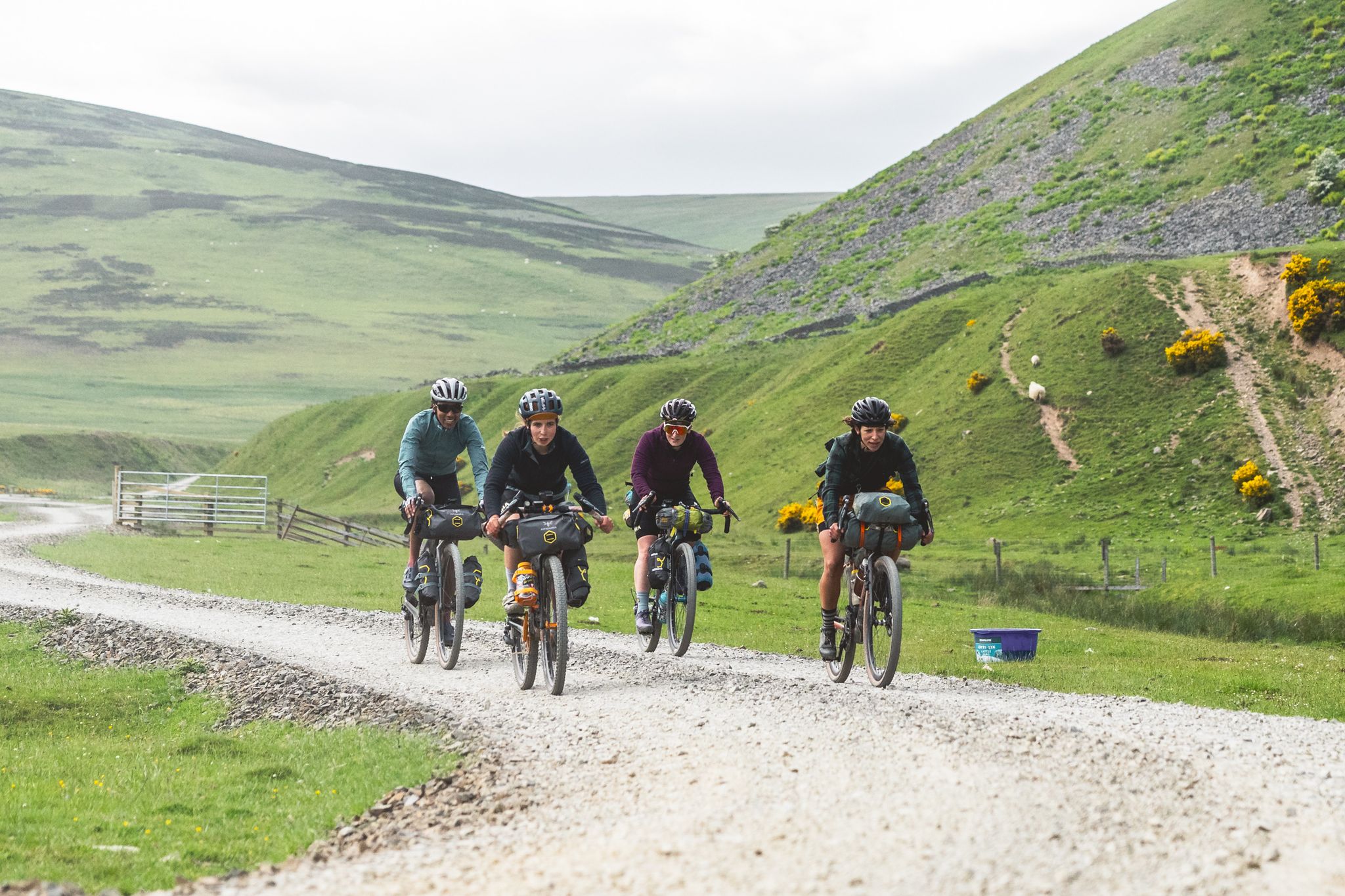
No traffic touring cycling routes around Bowland Forest High traverse an Area of Outstanding Natural Beauty characterized by expansive heather moorland, dramatic fells, and deep valleys. The region features quiet rural roads, traditional dry stone walls, and picturesque farms. Cyclists will encounter diverse terrain, from challenging climbs like the Trough of Bowland to gentler routes along river valleys such as the Lune and Hodder. This landscape offers a variety of experiences for touring cyclists seeking routes with low traffic levels.
…Last updated: May 26, 2026
21
riders
7.24km
00:27
60m
60m
Easy bike ride. Great for any fitness level. Mostly paved surfaces. Suitable for all skill levels.
5.0
(1)
14
riders
36.3km
02:27
560m
560m
Hard bike ride. Very good fitness required. Mostly paved surfaces. Suitable for all skill levels.

Sign up for free
5.0
(1)
13
riders
23.6km
01:53
430m
430m
Moderate bike ride. Good fitness required. Mostly paved surfaces. Suitable for all skill levels.
12
riders
40.4km
03:16
920m
920m
Hard bike ride. Very good fitness required. Mostly paved surfaces. Suitable for all skill levels.
6
riders
27.6km
01:43
290m
290m
Moderate bike ride. Good fitness required. Mostly paved surfaces. Suitable for all skill levels.
Get access to more routes and recommendations from other explorers.
Sign up for free
Already have an account?
Our route recommendations are based on thousands of hikes, rides, and runs completed by other people on komoot.
Start today with a free account
Your next adventure awaits.
Login or Signup
Popular around Bowland Forest High

Other adventures around Bowland Forest High

Tips from the Community

I went today to for a stop off but the woman told me it's not a cafe anymore. But you can come in if your interested in weddings. Nevermind plenty more cafe around.
0
0

This is marked as an intermediate walk which, in the main is accurate. The walk starts with a steep incline, well covered in the walk description. What is less documented is the subsequent decent which can be challenging for the novice/ intermediate walker. The path down is narrow and the potential fall severe. Please be aware. Other than that, the walk offers wonderful views after the initial climb and relatively sedate walk after decent.
0
0

Most of the ‘gravel’ route across the top is really only for XC mountain bikes unless you like pushing your bike for a few miles. I’ve done a lot of technical stuff on my gravel bike but this is boulders. Haha. I did bash my derailleur hanger though so I had no low gear.
0
0


Look up the legend of Lizzie Dean when visiting Chipping!
0
0


The actual centre of the British Isles is roughly 4 miles from the village but it is a pretty village to visit on the banks of the River Hodder.
0
1
Friendly and nice cafe. Very helpful with directions etc…
1
0
Frequently Asked Questions
How many no traffic touring cycling routes are available in Bowland Forest High?
There are 11 dedicated no traffic touring cycling routes around Bowland Forest High, ranging from easy to difficult, ensuring options for various skill levels.
What kind of terrain can I expect on these no traffic touring routes?
The terrain varies significantly. You'll find routes winding through expansive heather moorland, dramatic fells, and deep valleys, contrasting with gentler lowlands and verdant river valleys. Expect traditional dry stone walls, picturesque farms, and distinctive gritstone rock formations. Some routes, like those near the Trough of Bowland, feature challenging ascents with gradients exceeding 20%.
Are there any easy, family-friendly no traffic touring routes?
Yes, there is one easy route perfect for families or beginners. The Bridge over the River Dunsop loop from Dunsop Bridge is just over 7 km long with minimal elevation gain, offering a pleasant and accessible ride.
What are some notable natural features or landmarks I can see along these routes?
Many routes showcase the region's natural beauty. You might encounter the challenging passes of the Trough of Bowland, Cross of Greet, and Bowland Knotts, offering stunning moorland views. The River Lune and River Hodder valleys provide gentler scenery. For specific points of interest, consider routes that pass by Stocks Reservoir and Lost Village of Stocks-in-Bowland or offer views of the iconic Pendle Hill.
Are there any circular no traffic touring routes?
Yes, all the no traffic touring routes listed are circular, designed to bring you back to your starting point. For example, the Bridge over the River Dunsop loop from Dunsop Bridge is a short, easy circular option, while the Slaidburn Village – View of Slaidburn loop from Dunsop Bridge offers a more challenging circular tour.
Where can I find cafes or pubs along the no traffic touring routes?
The region has several charming villages that make ideal rest stops. Dunsop Bridge, recognized as the geographical center of Great Britain, offers cafes and pubs. Chipping is known for its local produce and cafes. The The Cobbled Corner Café – Leagram Brook Crossing loop from Dunsop Bridge specifically highlights a cafe along its path.
What is the best time of year to cycle in Bowland Forest High?
The best time to cycle is generally from spring through autumn (April to October) when the weather is milder and daylight hours are longer. The moorlands are particularly beautiful in late summer when the heather is in bloom. Be prepared for changeable weather, as conditions can shift quickly in this upland area.
What are the difficulty levels of the no traffic touring routes?
The routes are categorized into three difficulty levels: 1 easy, 2 moderate, and 8 difficult. This range ensures that both casual riders and experienced cyclists seeking a challenge can find suitable options. Routes like the Salter Fell Descent – High Salter Rough Section loop from Dunsop Bridge are rated difficult due to significant elevation gain and potentially rougher sections.
Are there any specific areas known for particularly quiet or car-free lanes?
Yes, the region boasts a network of 'Quiet Lanes,' particularly around Chipping and Slaidburn, which are designed for shared use with low traffic levels and speeds. Many of the touring routes utilize these minor rural roads to ensure a peaceful cycling experience.
What do other touring cyclists enjoy most about cycling in Bowland Forest High?
The area is highly rated by the komoot community, with an average score of 4.6 stars. Reviewers often praise the stunning and diverse landscapes, the tranquility of the quiet country lanes, and the challenging yet rewarding climbs that offer breathtaking views of the AONB and beyond.
Is there parking available near the starting points of these routes?
While specific parking details for each route vary, many villages like Dunsop Bridge, Chipping, and Slaidburn offer public parking facilities that can serve as convenient starting points for your cycling adventures. It's advisable to check local parking information for your chosen starting location.
Most popular routes around Bowland Forest High
Most popular attractions around Bowland Forest High

Get inspired with the komoot mobile app


Explore more
Browse the best Cycling routes in other regions.
