The best hikes from bus stations around Above Derwent
4.7
(4089)
39,393
hikers
139
hikes
Hiking around Above Derwent offers diverse landscapes within the Lake District National Park, characterized by prominent fells, serene lakes, and picturesque valleys. The region is bounded by Derwentwater and Bassenthwaite Lake to the east, providing varied lakeside environments. To the west and south, fells like Lord's Seat, Grisedale Pike, and Catbells offer panoramic views. Whinlatter Forest Park, England's only mountain forest, adds extensive woodlands to the area's natural features.
Best bus station hiking trails around Above Derwent
- The most popular…
Last updated: August 17, 2026
4.8
(191)
2,127
hikers
5.66km
02:05
340m
340m
Moderate hike. Good fitness required. Easily-accessible paths. Suitable for all skill levels.
4.8
(95)
725
hikers
13.3km
04:08
420m
420m
Moderate hike. Good fitness required. Easily-accessible paths. Suitable for all skill levels.

Sign up for free
4.8
(52)
611
hikers
13.3km
05:06
780m
780m
Hard hike. Very good fitness required. Mostly accessible paths. Sure-footedness required.
4.8
(39)
633
hikers
3.64km
01:30
290m
280m
Easy hike. Great for any fitness level. Easily-accessible paths. Suitable for all skill levels.
4.8
(39)
326
hikers
13.3km
04:57
830m
830m
Moderate hike. Good fitness required. Easily-accessible paths. Suitable for all skill levels.
Get access to more routes and recommendations from other explorers.
Sign up for free
Already have an account?
Our route recommendations are based on thousands of hikes, rides, and runs completed by other people on komoot.
Start today with a free account
Your next adventure awaits.
Login or Signup
Popular around Above Derwent
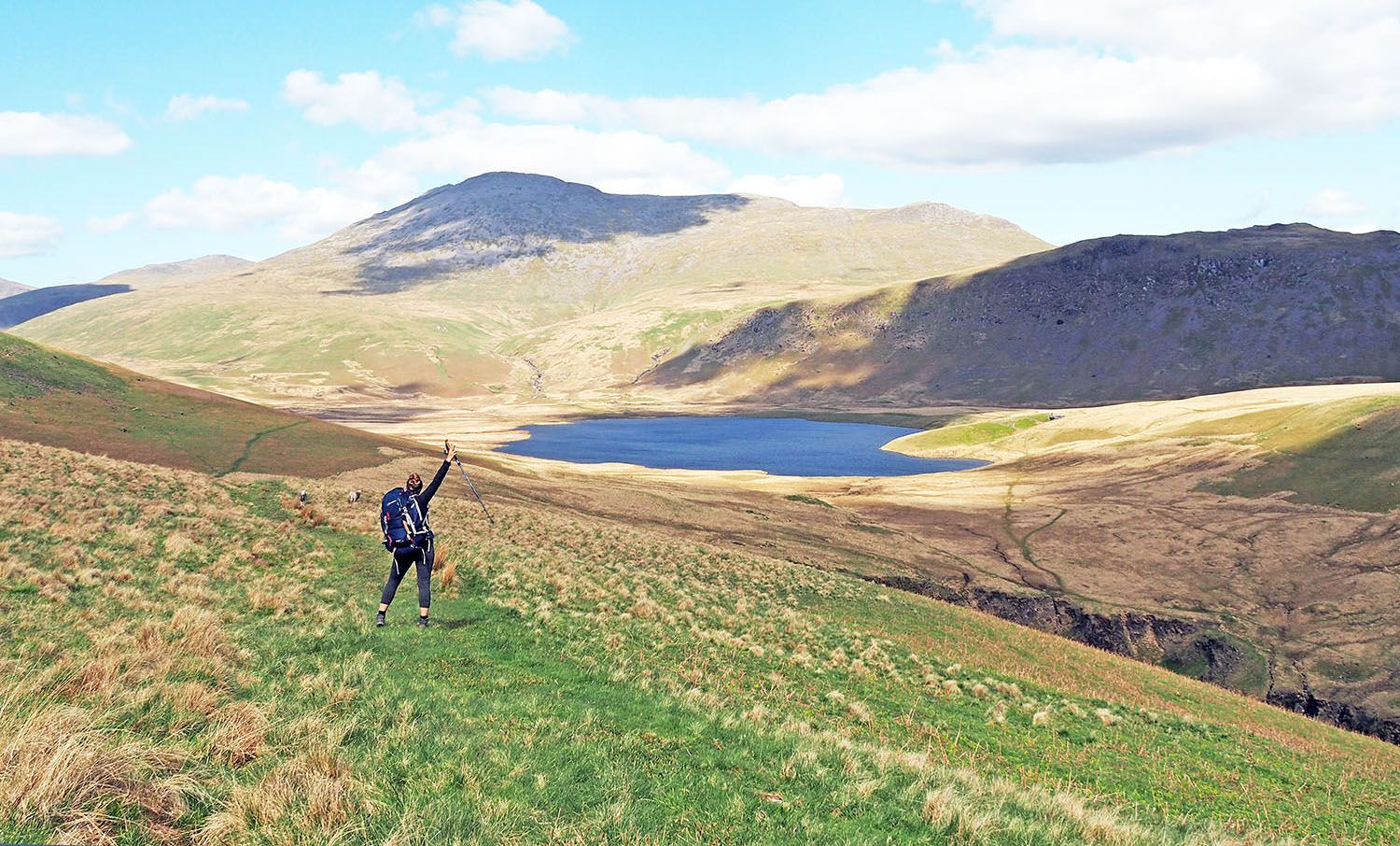
An English hiking dream – 8 days through the Lake District
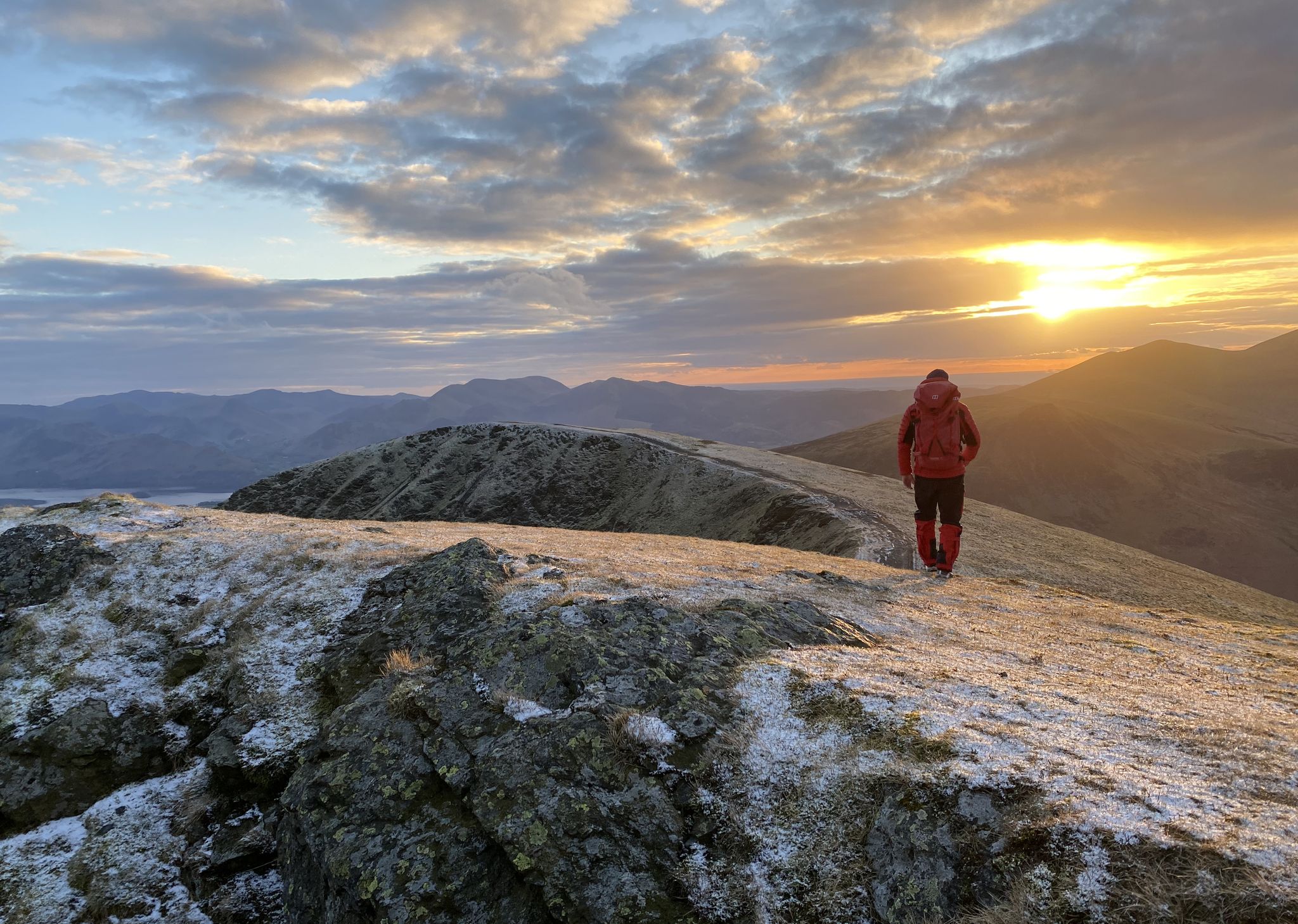
Sublime Adventures in the Fells – Great Lake District Walks
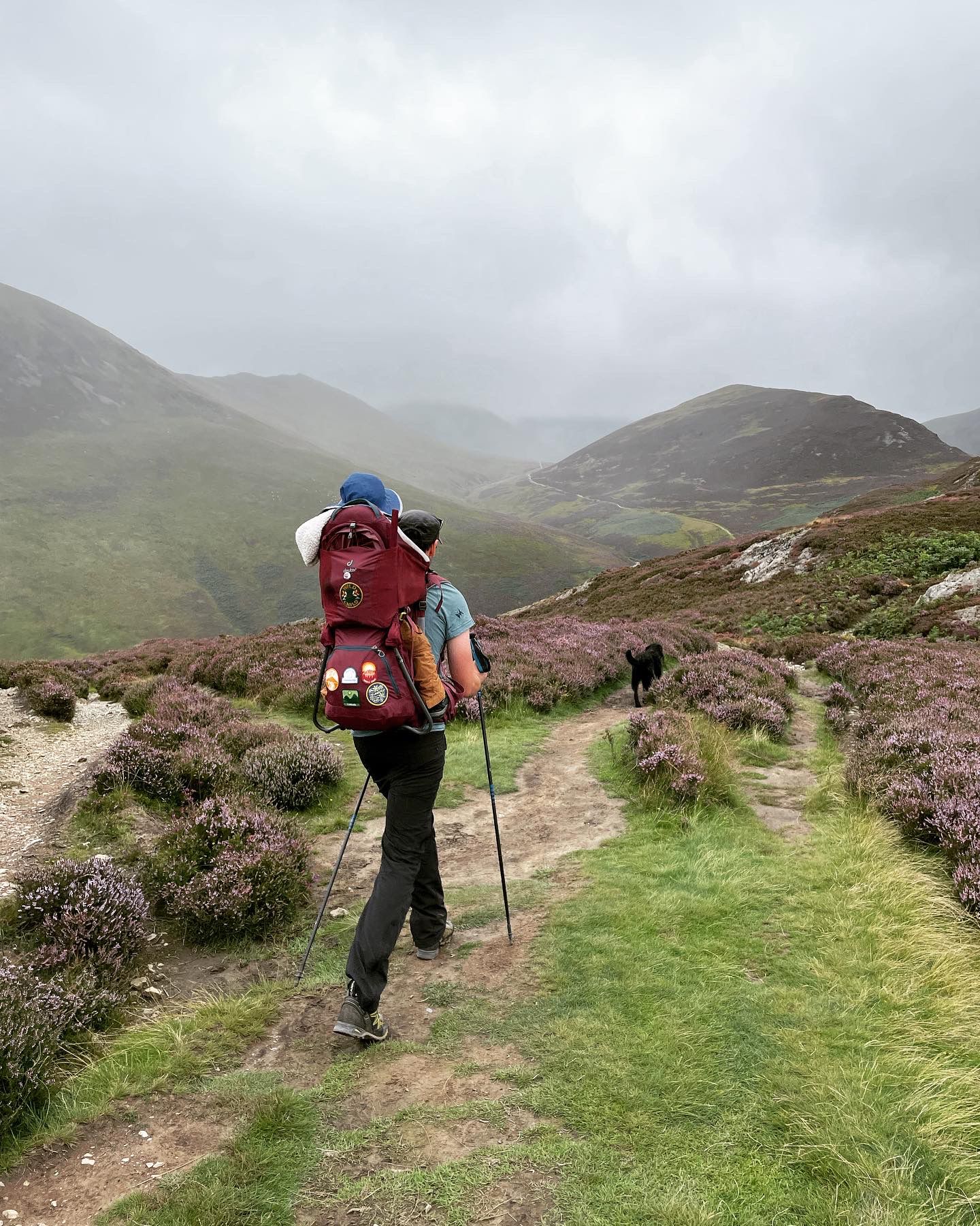
Fells and lakes for little explorers — Family walks in the Lake District
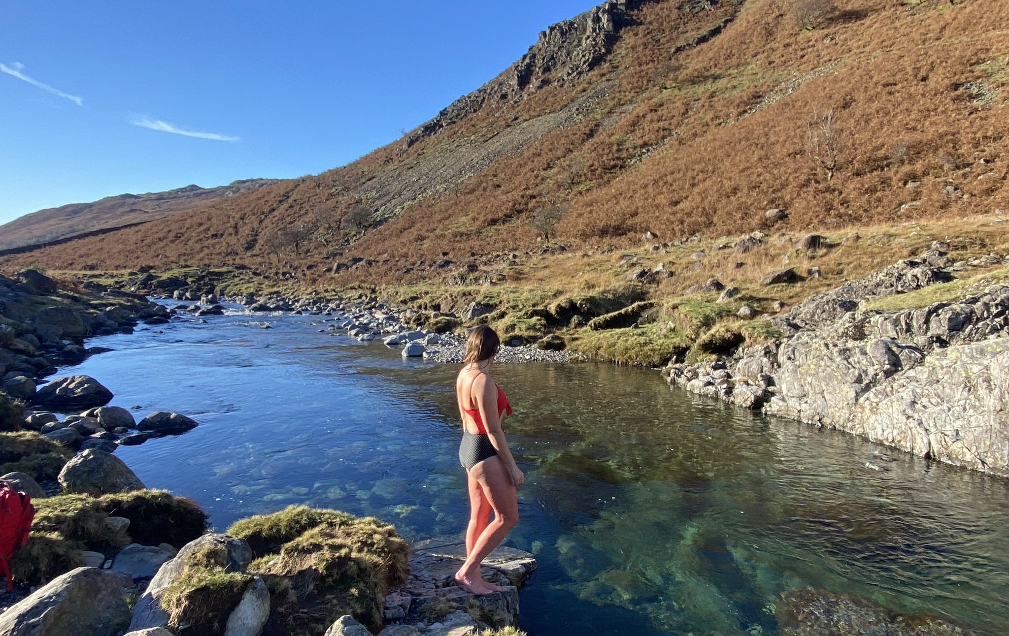
Wonderful wild swimming walks in the Lake District
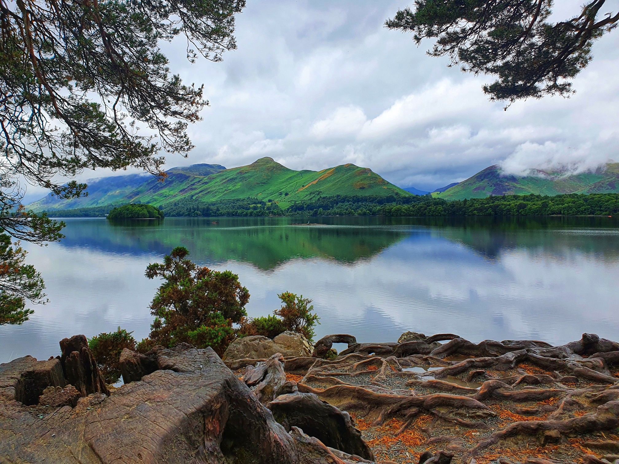
Discover the dramatic beauty of the Northern Lake District
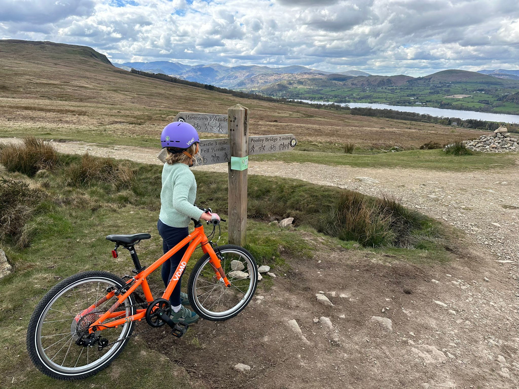
The best family-friendly bike rides in the Lake District
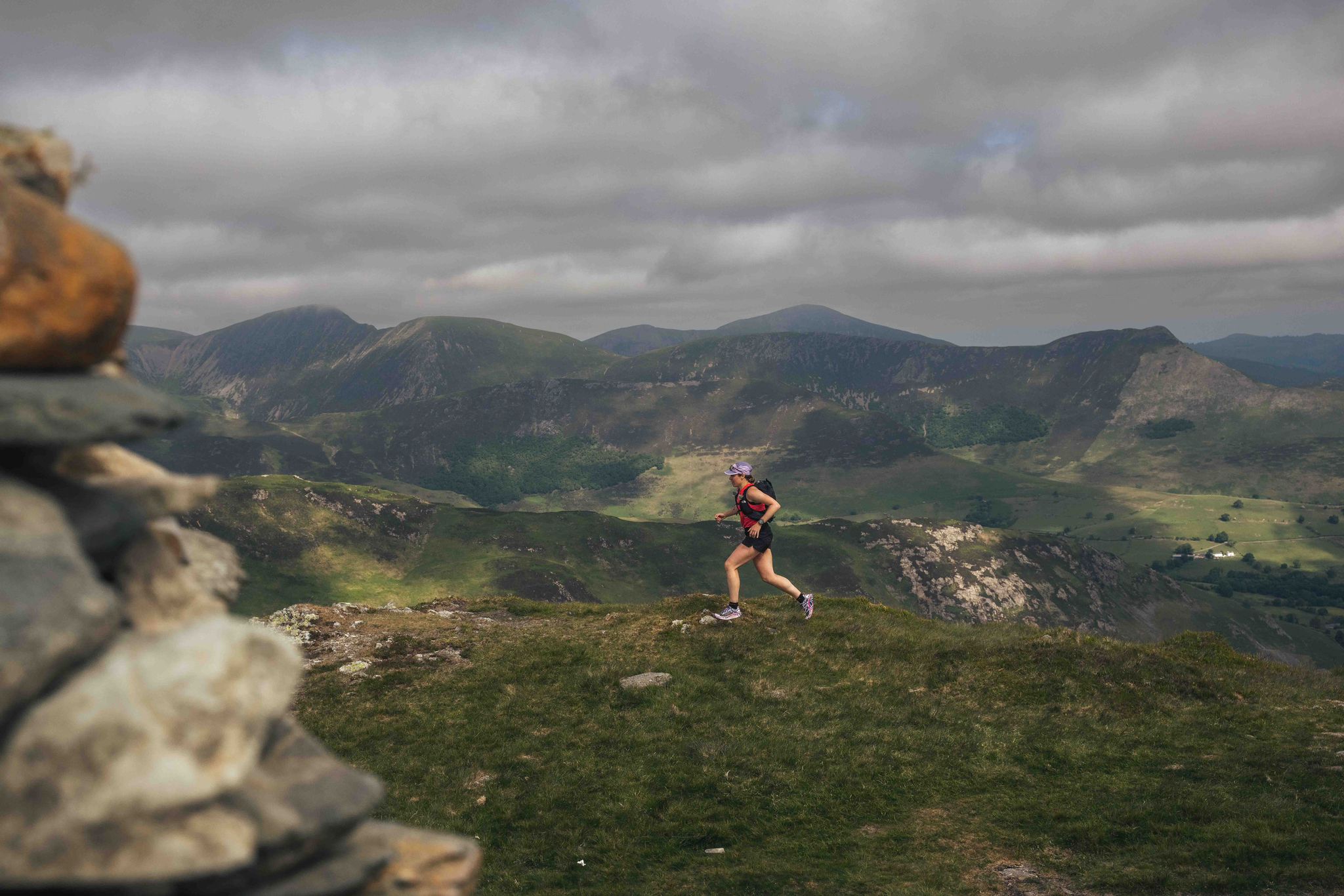
Trash Free Trails Purposeful Adventure: Running the least visited Wainwrights
Other adventures around Above Derwent


Tips from the Community

The views of Derwentwater from the descent of Catbells are beautiful. Particularly impressive is the classic outline of Blencathra.
0
0

see this on the way to and from catbells. this can be done by all ages and fitness levels
2
0
One of my favourite places to visit in all weather can get here by walking, driving if parking is available and by steamer
2
0


On a clear day, this fell has some great views of the surrounding Northern Fells.
0
0

When there is no fog, there is a great view of the lake!
0
0
Frequently Asked Questions
How many bus-accessible hiking trails are there around Above Derwent?
There are over 145 hiking routes around Above Derwent that are accessible directly from bus stations. These trails offer a wide range of experiences, from easy strolls to challenging mountain ascents, all designed for car-free exploration.
Are there easy, family-friendly hikes accessible by bus in Above Derwent?
Yes, Above Derwent offers many easy, family-friendly options. For a relatively short and rewarding experience, consider the Skelgill Bank – Catbells Summit loop from Stair. Catbells is often called a 'mini-mountain' and provides fantastic views for moderate effort, suitable for families with some minor scrambling sections. The Derwentwater Walk also offers gentle, scenic paths.
Can I find challenging bus-accessible hikes in Above Derwent?
Absolutely. For experienced hikers seeking a challenge, the Grisedale Pike – Hobcarton Crag loop from Braithwaite is a difficult route with significant elevation gain and expansive Lake District vistas. The Newlands Horseshoe also offers varied mountain terrain for a longer, more strenuous day out.
Are there circular hiking routes available from bus stops in Above Derwent?
Many of the bus-accessible routes in Above Derwent are circular, allowing you to start and end at the same bus stop. For example, the Catbells Summit – View of Derwent Water loop from Stair is a popular circular option. The Derwentwater Walk, while longer, can also be enjoyed as a circular route, with options to shorten it using bus or launch services.
What are some scenic viewpoints or natural attractions I can reach on these bus-accessible hikes?
Above Derwent is rich in natural beauty. Many trails lead to stunning viewpoints like Catbells Summit, offering panoramic views of Derwentwater, Keswick, and Borrowdale. You can also explore the tranquil Borrowdale Valley or discover the unique environment of Whinlatter Forest Park, which provides views across Bassenthwaite Lake and Derwentwater.
Are there dog-friendly hiking trails accessible by bus in Above Derwent?
Yes, the Lake District is generally very dog-friendly, and many of the bus-accessible trails around Above Derwent welcome dogs. Always keep dogs under control, especially near livestock, and be mindful of local signage. Routes like the Derwentwater Walk are popular choices for walkers with dogs, offering varied terrain and plenty of sniffing opportunities.
What is the best time of year to hike from bus stations in Above Derwent?
The best time to hike in Above Derwent is generally from spring to autumn (April to October) when the weather is milder and daylight hours are longer. However, the region offers beauty year-round. Winter hikes can be stunning, but require appropriate gear and experience due to potentially challenging conditions on higher fells. Always check local weather forecasts before heading out.
Are there any bus-accessible hikes that include historical or cultural points of interest?
Yes, some routes offer glimpses into the region's history. The Newlands Valley, for instance, has historical connections, including disused copper mines like Goldscope Mine. Additionally, the Castlerigg Stone Circle – Keswick Town Centre loop from Keswick takes you to the ancient Castlerigg Stone Circle, a significant prehistoric monument with impressive views.
What do other hikers enjoy most about hiking from bus stations in Above Derwent?
The komoot community highly rates the hiking experiences in Above Derwent, with an average score of 4.68 stars. Reviewers often praise the convenience of accessing diverse trails directly from public transport, the breathtaking panoramic views from fells like Catbells, and the serene beauty of lakeside and woodland paths. The variety of routes catering to all fitness levels is also frequently highlighted.
Are there any short hiking routes from bus stops for a quick outing?
For a shorter outing, the Skelgill Bank – Catbells Summit loop from Stair is an excellent choice, offering a rewarding experience in just a few hours. Many sections of the Derwentwater Walk can also be enjoyed as shorter segments, especially if you plan to use the lake launches or local buses to return.
Can I find bus-accessible hikes that pass by places to eat or pubs?
While specific routes aren't always designed around pub stops, many trails pass through or near villages like Braithwaite or Stair, which have local pubs and cafes. Keswick, a larger town easily accessible by bus, offers numerous options for a post-hike meal or drink. Planning your route with a map can help identify suitable refreshment stops along the way.
Most popular routes around Above Derwent
Most popular attractions around Above Derwent

Get inspired with the komoot mobile app


Explore more
Browse the best Hikes in other regions.
