The best hikes from bus stations around Strathblane
4.3
(1339)
11,603
hikers
20
hikes
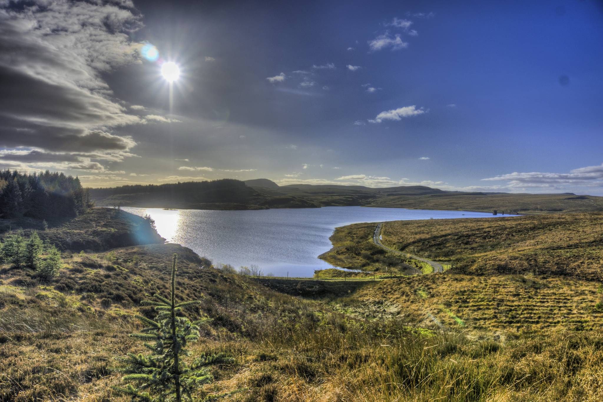
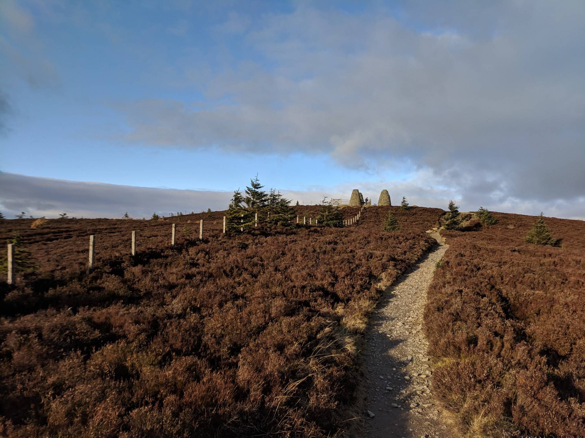
Public transport hiking trails around Strathblane are situated at the southern base of Scotland's Campsie Fells and Kilpatrick Hills. The landscape features rolling hills, volcanic formations like Dumgoyne, and tranquil lochs such as Loch Ardinning and Mugdock Loch. Extensive woodlands and open moorland characterize much of the area, with the Blane Water shaping the terrain. These routes are designed to be accessible from bus or train stops, facilitating car-free exploration of the region's natural features.
Best public transport hiking trails…
Last updated: June 23, 2026
4.6
(5)
17
hikers
19.3km
06:00
640m
640m
Hard hike. Very good fitness required. Sure-footedness, sturdy shoes and alpine experience required.
4.3
(4)
19
hikers
Moderate hike. Good fitness required. Easily-accessible paths. Suitable for all skill levels.

Sign up for free
5.0
(1)
24
hikers
Hard hike. Very good fitness required. Easily-accessible paths. Suitable for all skill levels.
18
hikers
12.1km
03:18
190m
190m
Moderate hike. Good fitness required. Easily-accessible paths. Suitable for all skill levels.
5.0
(1)
11
hikers
19.0km
06:13
690m
690m
Hard hike. Very good fitness required. Sure-footedness, sturdy shoes and alpine experience required.
Get access to more routes and recommendations from other explorers.
Sign up for free
Already have an account?
Our route recommendations are based on thousands of hikes, rides, and runs completed by other people on komoot.
Start today with a free account
Your next adventure awaits.
Login or Signup


Tips from the Community

The steep ascent and descent are challenging (especially with a 15kg backpack on your back), but the effort is definitely worth it.
0
0

In June, the whole path was full of little frogs and a family of swans was on the lake
0
0


Looks like their is an entry/exit point at the other side of the bridge
0
0

This section is steep and could be slippery after a wet spell, possible to climb on a MTB or gravel bike with appropriate gearing and good bike handling skills otherwise just walk until path becomes ridable.
0
0

If you fancy a glass of Whiskey, take a quick walk to this place.
0
0
Make sure you have cash for the Honesty boxes you encounter along the way.
0
0

Frequently Asked Questions
How many public transport-accessible hiking trails are there in Strathblane?
There are over 9 hiking routes in Strathblane that are easily accessible by public transport, allowing you to explore the stunning Campsie Fells and Kilpatrick Hills without a car. These trails are highly rated by the komoot community, with an average score of 4.3 stars.
Which public transport options serve the trailheads in Strathblane?
The main public transport options for reaching trailheads in Strathblane are local bus services. Many routes, including those starting from Strathblane and Blanefield, are conveniently located near bus stops, making car-free access straightforward. Always check local bus timetables for the most up-to-date information on routes and schedules.
Are there easy hiking trails in Strathblane accessible by public transport?
Yes, Strathblane offers several easy hiking trails perfect for a relaxed outing, all reachable by public transport. For example, the View of the Campsie Fells – View of Dumgoyne and Dumfoyn loop from Strathblane is an easy option that provides lovely views. These routes are great for beginners or those looking for a less strenuous walk.
What kind of terrain can I expect on Strathblane's public transport hiking routes?
The terrain around Strathblane is quite varied, ranging from rolling hills and volcanic formations to tranquil lochs and dense woodlands. You'll encounter paths through moorland, along old railway tracks, and up to prominent peaks like Dumgoyne. Routes like the Dumgoyne Hill – Earl's Seat Summit loop from Strathblane offer more challenging ascents with rewarding views, while others provide gentler woodland walks.
What natural features or landmarks can I see on public transport hikes around Strathblane?
Many public transport-accessible hikes in Strathblane offer stunning natural features and landmarks. You can explore the dramatic Campsie Fells and Kilpatrick Hills, witness the volcanic plug of Dumgoyne, or enjoy views of serene lochs like Craigallian Loch. Some trails also pass by historic sites such as Craigend Castle Ruins.
Are there any dog-friendly public transport hikes in Strathblane?
Strathblane is generally very welcoming to dogs, with many trails suitable for walking with your canine companion. Most of the routes accessible by public transport, such as the various loops around Blanefield and Strathblane, are dog-friendly. Always remember to keep dogs under control, especially near livestock, and follow the Scottish Outdoor Access Code.
Can I find circular hiking routes in Strathblane that start and end at a public transport stop?
Yes, many of the public transport-accessible routes in Strathblane are circular, meaning you can start and finish your hike at the same bus stop. This makes planning your car-free adventure very convenient. Examples include the Forest Mountain Bike Trail – Stone Arch Bridge Over Stream loop from Strathblane or the Dumgoyne Hill loop from Blanefield.
What is the best time of year to go hiking in Strathblane using public transport?
Strathblane offers beautiful hiking opportunities year-round. Spring and autumn provide pleasant temperatures and vibrant colours, while summer is ideal for longer days and clearer views. Even in winter, with appropriate gear, you can enjoy the crisp air and unique landscapes. Always check the weather forecast before heading out, especially if relying on public transport schedules.
Are there any pubs or cafes near the public transport accessible trailheads in Strathblane?
Yes, both Strathblane and Blanefield, which serve as common starting points for public transport hikes, have local amenities. You can often find pubs or cafes in these villages where you can refuel before or after your hike. It's a great way to experience local hospitality and enjoy a well-deserved break.
Are there any point-to-point hikes in Strathblane that are easy to do with public transport?
While many routes are circular, Strathblane's public transport network can facilitate point-to-point hikes. You could, for instance, plan a route that starts in one village and ends in another, using bus services to connect the two points or for your return journey. This allows for more varied exploration of the region's diverse landscapes.
What do other hikers enjoy the most about hiking in Strathblane?
The komoot community highly rates hiking in Strathblane, with an average score of 4.3 stars. Reviewers often praise the stunning views of the Campsie Fells, the unique volcanic formations like Dumgoyne, and the peaceful atmosphere of the woodlands and lochs. The accessibility via public transport is also frequently highlighted as a major benefit.
Most popular routes around Strathblane
Most popular attractions around Strathblane

Get inspired with the komoot mobile app


Explore more
Browse the best Hikes in other regions.
