The best traffic-free bike rides around Milngavie
4.2
(19)
543
riders
11
rides
No traffic touring cycling routes around Milngavie offer access to diverse landscapes, including woodlands, rolling hills, and tranquil lochs. The region serves as the traditional starting point for the West Highland Way, providing a mix of flat paths and more undulating terrain. Cyclists can explore areas like Mugdock Country Park, Craigallian Loch, and sections along the Forth and Clyde Canal. This varied topography provides a range of no traffic touring cycling experiences.
Best no traffic touring cycling routes around Milngavie
…Last updated: July 7, 2026
63
riders
19.0km
01:37
240m
240m
Moderate bike ride. Good fitness required. Mostly paved surfaces. Suitable for all skill levels.
5.0
(1)
34
riders
14.7km
01:15
160m
160m
Moderate bike ride. Good fitness required. Mostly paved surfaces. Suitable for all skill levels.

Sign up for free
16
riders
34.6km
02:54
520m
520m
Hard bike ride. Very good fitness required. Mostly paved surfaces. Suitable for all skill levels.
3.5
(2)
15
riders
9.89km
00:40
90m
90m
Easy bike ride. Great for any fitness level. Mostly paved surfaces. Suitable for all skill levels.
6
riders
14.1km
01:10
170m
170m
Moderate bike ride. Good fitness required. Mostly paved surfaces. Suitable for all skill levels.
Get access to more routes and recommendations from other explorers.
Sign up for free
Already have an account?
Our route recommendations are based on thousands of hikes, rides, and runs completed by other people on komoot.
Start today with a free account
Your next adventure awaits.
Login or Signup
Popular around Milngavie
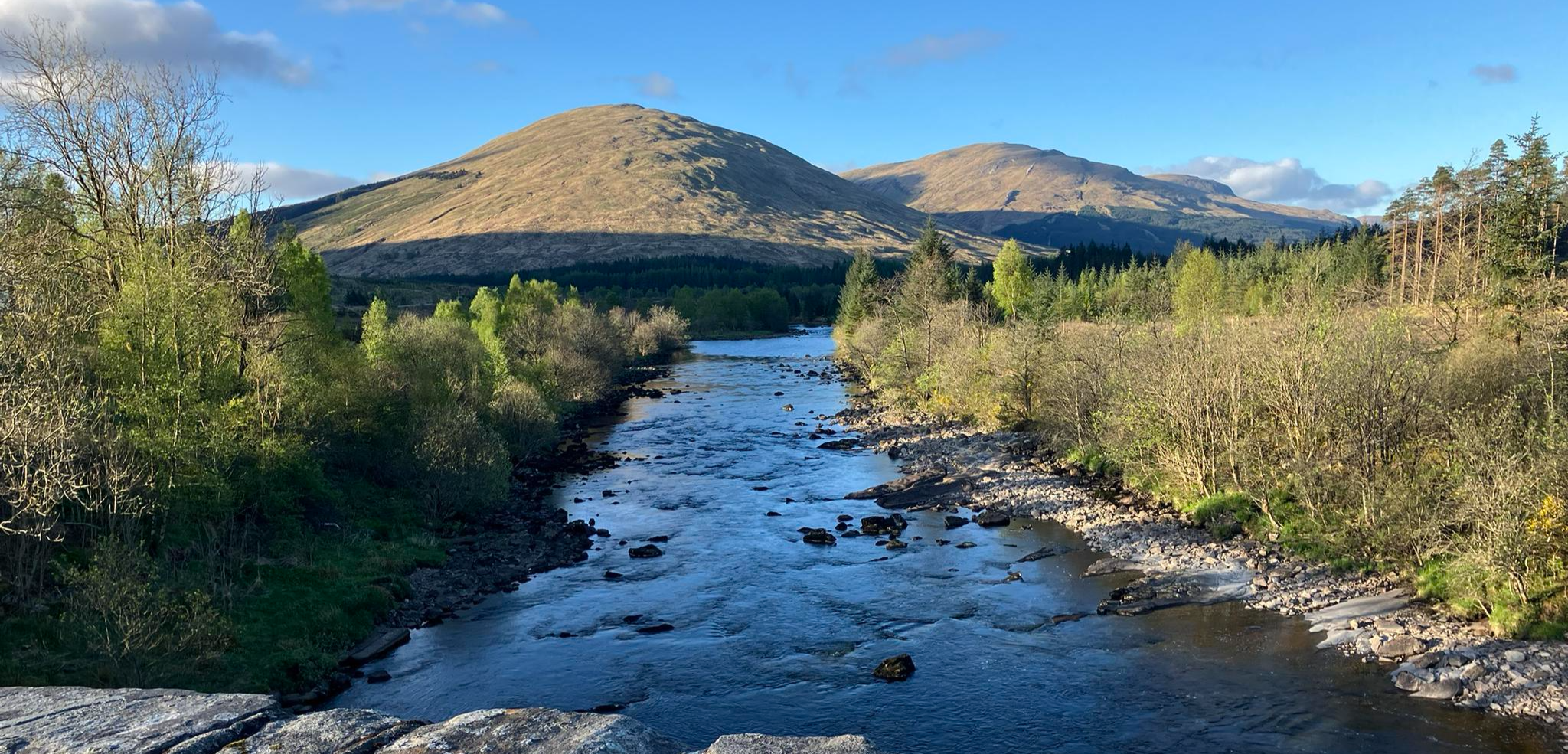
Running the West Highland Way – Scotland's Great Trails
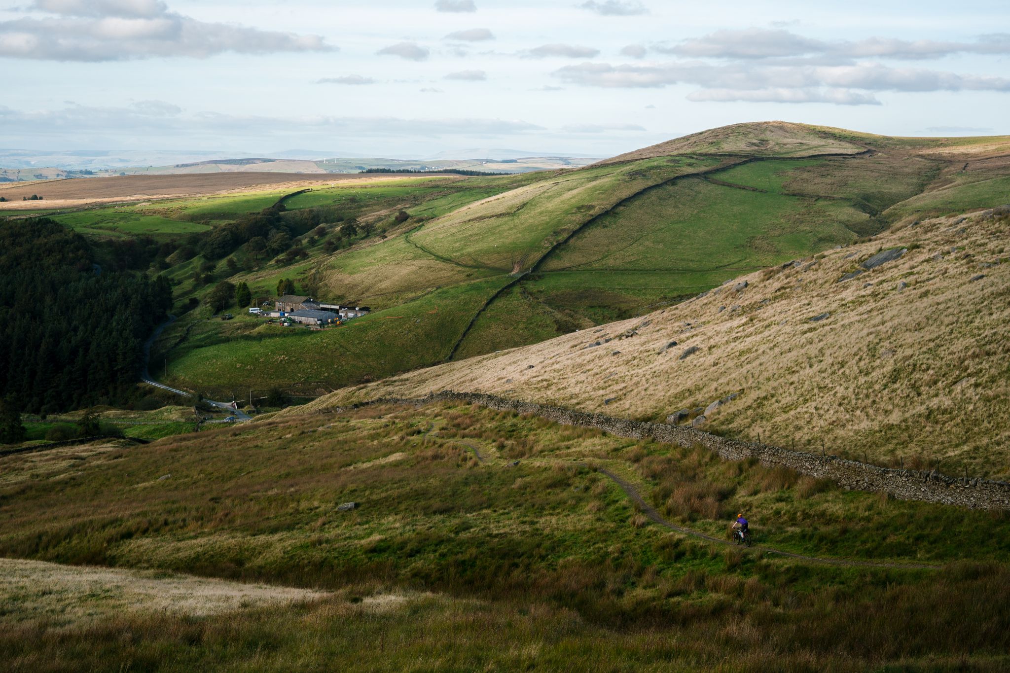
Great North Trail — From the Pennine Hills to the tip of Scotland
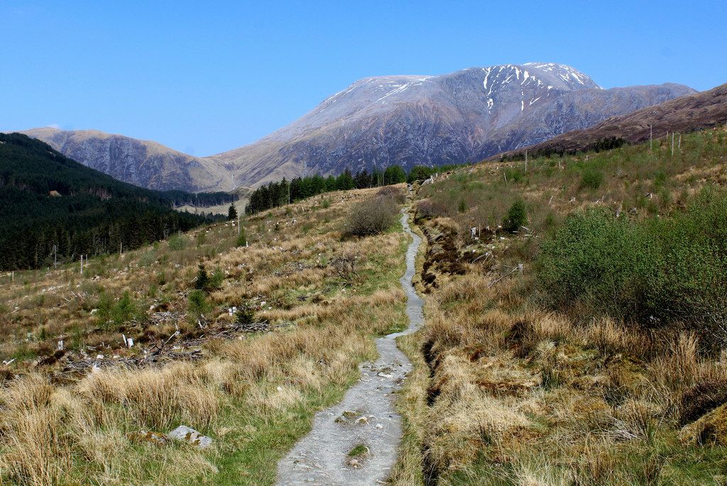
West Highland Way – Mountain biking
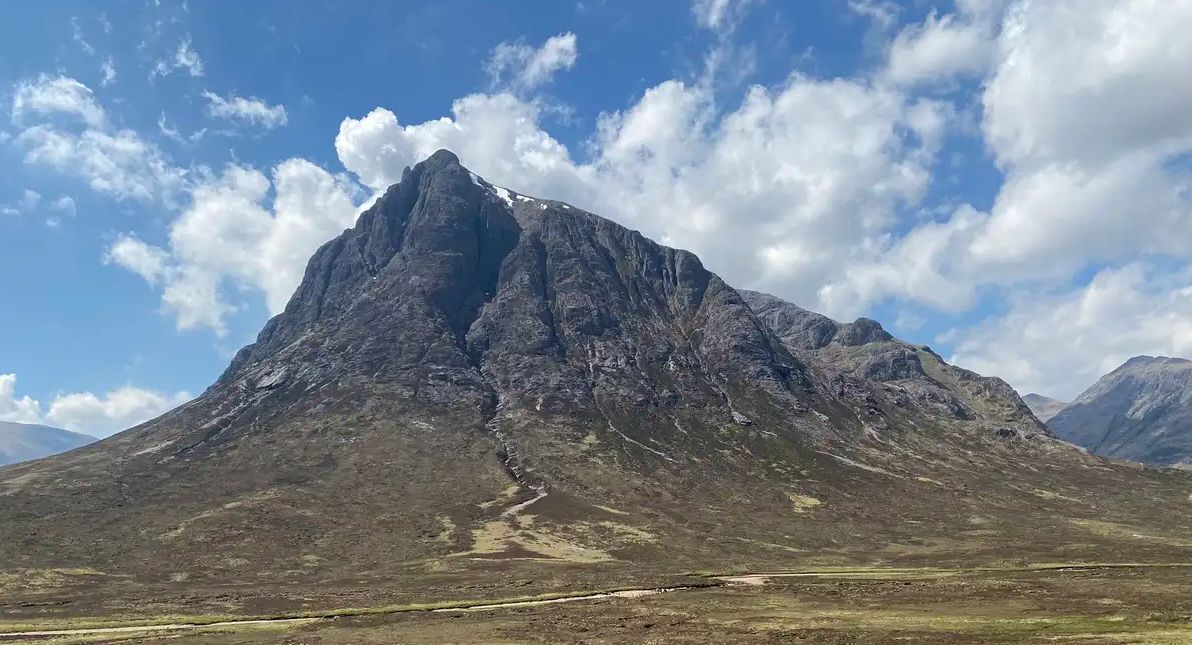
West Highland Way — Hike Scotland's most iconic long distance trail

Walk Britain – 90 car-free adventures in England, Wales and Scotland
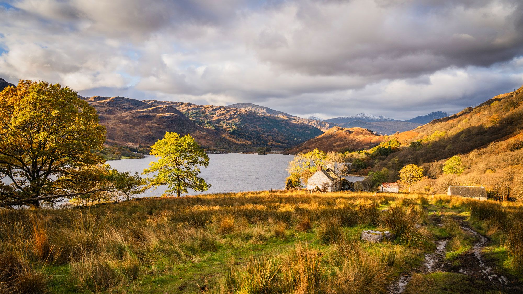
West Highland Way: 7 Tage durch die Schottischen Highlands
Traffic-free bike rides around Milngavie


Tips from the Community

Above all, the path through Mugdock-Forest is worth it.
0
0

The final point of the Katrine Aqueducts as the water travels from The Trossachs to Milngavie to serve drinking water to the people of Glasgow. Built in the late 1800's, these reservoirs are a beautiful spot for a walk or cycle with good tracks following the perimeter.
1
0
The original Castle on this site was built in the 13th century by the Graham family. The Grahams were a family on the rise and the family were made the Earls of Montrose in 1505. The most famous Graham resident of Mugdock Castle was James Graham (1612-1650) known as The Great Montrose. He was a poet and soldier who fought for the cause of King Charles I during the Wars of The Three Kingdoms (more commonly referred to as The English Civil Wars) and was marked as one of the greatest soldiers of the time. So great was his military fame that King Louis XIV offered him the role as Marshal of France. His success ultimately ran out in 1650 with the loss of The Battle of Carbisdale in Rosshire. Montrose was betrayed by a fellow Scotsman and was ultimately Hung, Drawn and Quartered for his part in the war. His campaigns were immortalised by Sir Walter Scott in his 1819 novel A Legend of Montrose.
0
0

The start of the West Highland Way is very urban, and the first section will feel more like a country park. Good paths and signs will lead you out of the town towards Loch Lomond.
2
1

Nice to see in the video: https://youtu.be/FTvrh28-ojY
1
0

Just off the road. Video by SeeScotland on YouTube. https://www.youtube.com/watch?v=huTD5TCQbiA
0
0

What else do you need to know. Insanely beautiful
0
0

The first major lake on the West Highland Way is very atmospheric.
5
0
Frequently Asked Questions
How many traffic-free touring cycling routes are available around Milngavie?
Milngavie offers a good selection of traffic-free touring cycling routes, with over 10 routes detailed in this guide. These range from easy, short loops to more challenging, longer rides, ensuring options for various skill levels.
What is the best time of year for traffic-free touring cycling in Milngavie?
The spring and autumn months generally offer the most pleasant conditions for cycling around Milngavie, with milder temperatures and beautiful scenery. Summer can also be excellent, though be mindful of midges, especially near water. Winter cycling is possible but requires appropriate gear for colder, potentially wetter conditions.
Are there any easy, family-friendly traffic-free cycling routes in Milngavie?
Yes, Milngavie has several easy, traffic-free options suitable for families. The Mugdock Reservoir – Craigendinnie Measuring Pond loop is an easy 9.9 km route. The Strathkelvin Railway Path, though not explicitly listed in the routes here, is also known for its flat, scenic, and traffic-free nature, making it ideal for all skill levels.
What kind of terrain can I expect on traffic-free touring cycling routes near Milngavie?
The terrain around Milngavie is diverse. You'll find gentle paths along tranquil lochs and reservoirs, such as the Wooden Boardwalk Path – Craigallian Loch loop. Other routes might take you through woodlands and rolling hills, offering a mix of flat sections and undulating terrain. Dedicated cycle paths like sections of the West Highland Way also provide varied surfaces.
Can I bring my dog on the traffic-free cycling routes around Milngavie?
Many of the traffic-free routes around Milngavie, particularly those through parks and along canal paths, are dog-friendly. However, always keep your dog on a lead, especially in areas with livestock, wildlife, or other users. Be sure to check specific park regulations, such as those for Mugdock Country Park, before you go.
Are there any circular traffic-free touring cycling routes in the area?
Yes, several routes are designed as loops, allowing you to start and finish in the same location. Examples include the Wooden Boardwalk Path – Craigallian Loch loop and the Mugdock Reservoir – Craigendinnie Measuring Pond loop. These circular routes are convenient for day trips.
What attractions or landmarks can I see along the traffic-free cycling routes?
Many routes offer scenic views and pass by interesting landmarks. You might cycle past tranquil spots like Craigallian Loch, or historical sites such as Mugdock Castle. The Forth and Clyde Canal Towpath, a popular cycling route, also offers a unique perspective on the region's industrial heritage.
Where can I park my car when accessing traffic-free cycling routes in Milngavie?
Milngavie town centre offers various parking options, often providing convenient access to the start of many routes, including the West Highland Way. Mugdock Country Park also has dedicated parking facilities for visitors accessing its trails. Always check local signage for parking restrictions and fees.
How accessible are the traffic-free cycling routes by public transport?
Milngavie is well-connected by public transport. Milngavie train station provides direct links to Glasgow, making it easy to reach the starting point of many routes. Buses also serve the area, offering additional access points. Check train and bus operator policies regarding bikes before travelling.
What do other touring cyclists enjoy most about the traffic-free routes in Milngavie?
The area is highly rated by the komoot community, with an average score of 4.25 stars. Reviewers often praise the peacefulness of the routes, the diverse scenery ranging from lochs to woodlands, and the feeling of being away from traffic, making for a truly relaxing cycling experience.
Are there any cafes or pubs along the traffic-free cycling routes for refreshments?
While some routes might pass directly by establishments, many traffic-free paths are in more rural settings. It's advisable to plan your route and check for refreshment stops in nearby villages or towns. Milngavie town centre itself offers a good selection of cafes, pubs, and shops for pre- or post-ride sustenance.
Are there any challenging traffic-free touring cycling routes in Milngavie?
For those seeking a more challenging ride, the Wooden Boardwalk Path – Mugdock Castle loop offers a difficult 35.4 km route with significant elevation gain. This route provides a good workout while still enjoying the benefits of traffic-free sections and scenic views.
Most popular routes around Milngavie
Most popular attractions around Milngavie

Get inspired with the komoot mobile app


Explore more
Browse the best Cycling routes in other regions.
