The best traffic-free bike rides around Craik Forest
4.4
(12)
322
riders
3
rides
No traffic touring cycling routes around Craik Forest traverse a remote woodland setting in Scotland's Southern Uplands, characterized by extensive coniferous woodlands and rolling hills. The area features serene riverside paths alongside Borthwick Water and Aithouse Burn, offering a tranquil escape. Cyclists can explore hidden glens and discover natural features like Wolfcleugh Waterfall and Girnwood Loch. The terrain includes quiet single-track roads and wide forest tracks, providing varied surfaces for touring bikes.
Best no traffic touring cycling routes around Craik…
Last updated: May 26, 2026
3
riders
14.2km
01:04
170m
170m
Moderate bike ride. Good fitness required. Mostly paved surfaces. Suitable for all skill levels.
3
riders
14.2km
01:05
170m
170m
Moderate bike ride. Good fitness required. Mostly paved surfaces. Suitable for all skill levels.

Sign up for free
1
riders
46.2km
04:32
880m
880m
Hard bike ride. Very good fitness required. Mostly paved surfaces. Suitable for all skill levels.
4
riders
Hard bike ride. Very good fitness required. Mostly paved surfaces. Suitable for all skill levels.
86.0km
07:34
1,670m
1,670m
Hard bike ride. Very good fitness required. Mostly paved surfaces. Suitable for all skill levels.
Our route recommendations are based on thousands of hikes, rides, and runs completed by other people on komoot.
Start today with a free account
Your next adventure awaits.
Login or Signup

Other adventures around Craik Forest

Tips from the Community

Great little community cafe with bike parking. Do a sunday roast but have to book. Filled rolls, coffee and cakes all excellent.
0
0


Photos don't do this place justice. On the Sunday in November I visited I was able to get get soup and a coffee in the lovely cafe area, and a dozen locals had booked to eat Sunday lunch
0
0

Perfectly set up for cyclists and an amazing example of how all community hubs should be.
0
0

Open to public and some nice easy trails to walk in grounds.
0
0


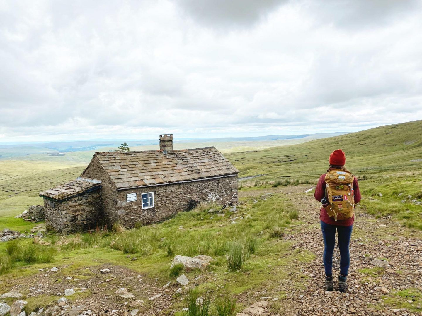
Forest track leading to Green Skyes bothy. A mix of gravel and grass with some Christmas Trees along the way.
0
0
Beautiful quiet smooth road running alongside Meggat Water.
0
0
Frequently Asked Questions
How many no traffic touring cycling routes are available in Craik Forest?
There are several dedicated no-traffic touring cycling routes around Craik Forest, offering a peaceful escape into the Scottish Borders. This guide highlights 5 routes, ranging from moderate to difficult, ensuring options for various skill levels.
What are the typical terrain and difficulty levels for no-traffic touring routes in Craik Forest?
The routes in Craik Forest vary, but generally feature quiet single-track roads, wide forest tracks, and some unpaved segments. While there are no easy routes listed in this selection, you'll find 2 moderate routes, such as the Bike loop from High Seat, and 3 difficult routes, like the challenging Moffat to Drumlanrigg Castle gravel loop via Glenlieth Fell, which includes significant elevation gains.
Are there any family-friendly no-traffic cycling options in Craik Forest?
While the routes in this guide are rated moderate to difficult, Craik Forest generally offers a mix of trails. Many forest tracks are wide and less strenuous, suitable for families with some cycling experience. For a moderate option, consider the Bike loop from Craik, which covers 14.15 km with manageable elevation.
What kind of natural features and wildlife can I expect to see on these routes?
Craik Forest is known for its extensive coniferous woodlands, rolling hills, and serene riverside paths along the Borthwick Water and Aithouse Burn. Keep an eye out for abundant wildlife, including red squirrels and various woodland birds. You might also discover hidden glens and picturesque waterfalls, such as the prominent Wolfcleugh Waterfall, which is accessible via some trails.
Are there any historical landmarks or points of interest along the no-traffic cycling routes?
Yes, Craik Forest has a rich history. Some cycling routes follow remnants of an old Roman road that traverses the forest and goes over Craik Cross Hill. You can also visit the Halifax MK II JP190 Memorial and Picnic Site, which commemorates an aircraft crash from 1944 and offers a place for rest.
What do other touring cyclists enjoy most about the no-traffic routes in Craik Forest?
The area is highly rated by the komoot community, with an average score of 4.4 out of 5 stars. Reviewers often praise the tranquil escape offered by the remote woodland setting, the sense of 'getting away from it all,' and the diverse trails that provide both scenic beauty and a good workout.
Are there any long-distance no-traffic touring routes available?
For those seeking a longer challenge, the Moffat to Drumlanrigg Castle gravel loop via Glenlieth Fell is a difficult route spanning approximately 86 km. Another substantial option is the Gair Bridge Over Tima Water – Ramps Up loop from Eskdalemuir, covering about 46 km.
What are the best starting points for car-free bike tours in Craik Forest?
Many routes can be accessed from various points around the forest. For example, the Bike loop from High Seat and the Bike loop from Craik are good options for starting within the forest itself. Eskdalemuir also serves as a starting point for routes like the Eskdalemuir Forest Track – Eskdalemuir Community Hub loop.
Are there any specific scenic viewpoints or natural attractions to look out for?
Absolutely. The Quiet Single-Track Road Through the Scottish Borders is known for its peaceful environments and scenic viewpoints. The Time Water Valley also offers beautiful vistas, and the Valley Road to Moffat provides another picturesque perspective.
What is the best season for car-free bike touring in Craik Forest?
Craik Forest is enjoyable throughout the year, but spring and autumn offer particularly pleasant conditions with vibrant foliage and milder temperatures. Summer provides longer daylight hours, while winter can be beautiful but may require more preparation for colder weather and potentially icy patches on some forest tracks.
Can I find cafes or accommodation near the no-traffic touring routes?
While Craik Forest itself is quite remote, the surrounding areas and nearby villages like Eskdalemuir may offer limited facilities. It's advisable to plan your route and carry sufficient supplies. The Craikhope Outdoor Centre provides accommodation and facilities for groups, but for general cafes and pubs, you might need to venture further to larger towns.
Most popular routes around Craik Forest
Most popular attractions around Craik Forest

Get inspired with the komoot mobile app


Explore more
Browse the best Cycling routes in other regions.
