Top 6 Mountain Passes around Les Breuleux
Mountain passes near Les Breuleux are found within the Jura mountains, with the village situated at an elevation of 1,070 meters. This location provides access to the Chasseral Natural Park, home to the Chasseral Pass at 1,502 meters and the Chasseral summit at 1,607 meters. The region features diverse landscapes, including wooded pastures and various outdoor activity opportunities.
Best mountain passes around Les Breuleux
- The most popular mountain passes is Mont Crosin (1,227 m), a mountain pass and summit…
Last updated: August 19, 2026
Col du Chasseral
Highlight • Mountain Pass
Translated by Google •
Tip by

Col de la Vierge
Highlight • Mountain Pass
More information: quaeldich.de/paesse/col-de-la-vierge-jura
Translated by Google •
Tip by

Sign up now to discover places like this
Get recommendations on the best single tracks, peaks, & plenty of other exciting outdoor places.
Sign up for free
Mont Crosin (1,227 m)
Highlight • Mountain Pass
Translated by Google •
Tip by

Col du Chasseral South Ascent from Nods
Highlight (Segment) • Mountain Pass
Translated by Google •
Tip by

Southern Ascent With Three Scenic Hairpin Bends
Highlight (Segment) • Mountain Pass
Translated by Google •
Tip by

Sign up for free to discover even more mountain passes around Les Breuleux.
Sign up for free
Already have an account?
Start today with a free account
Your next adventure awaits.
Login or Signup
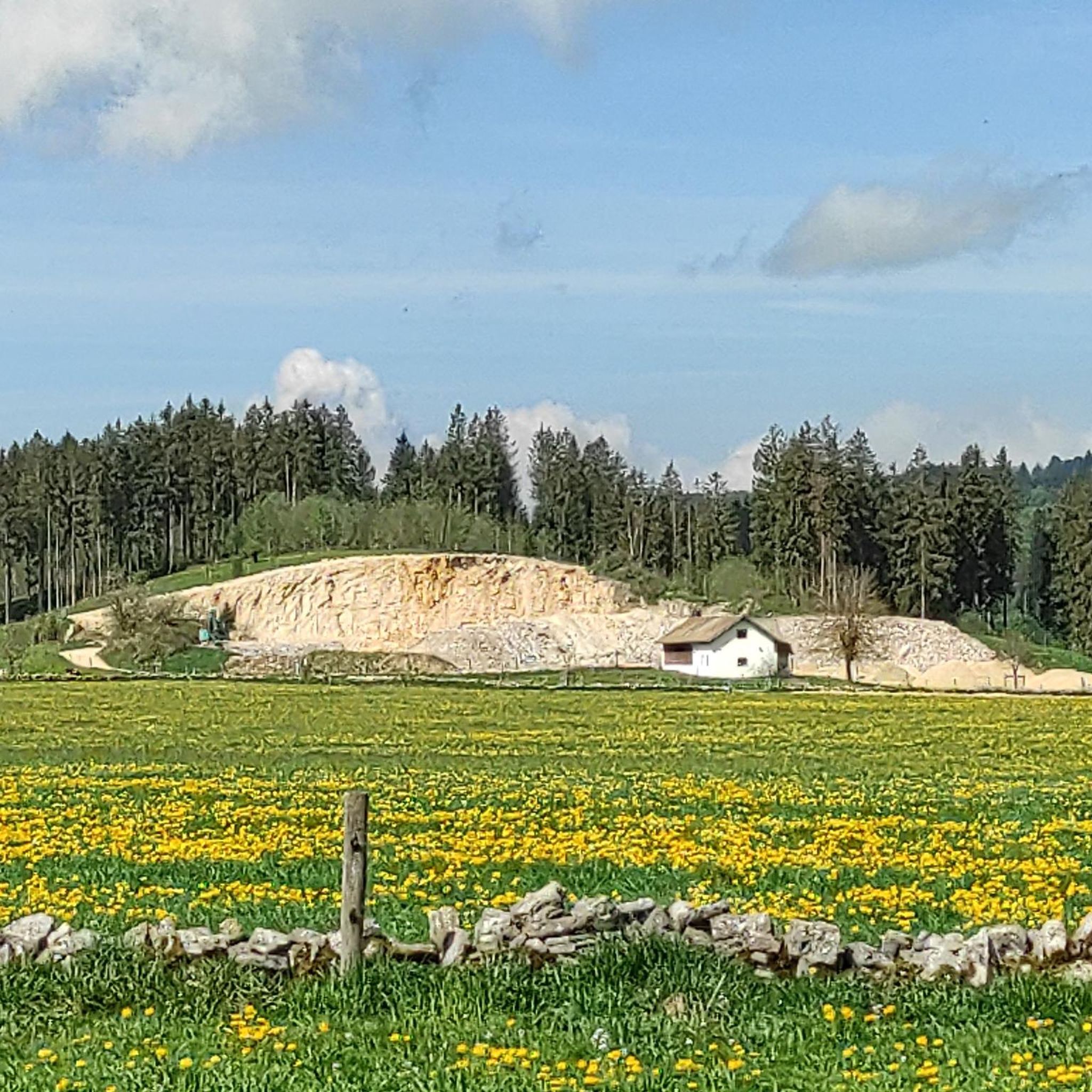
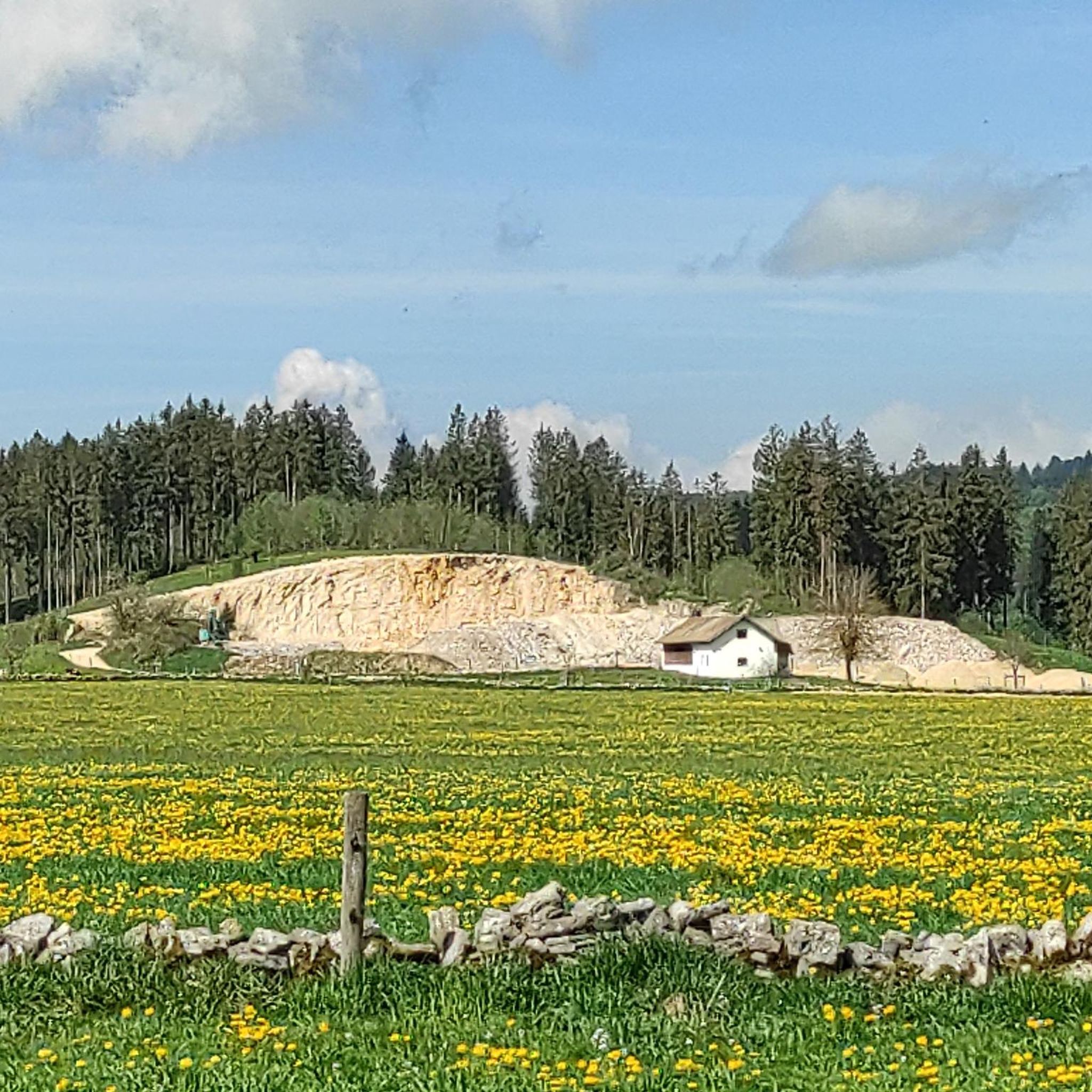
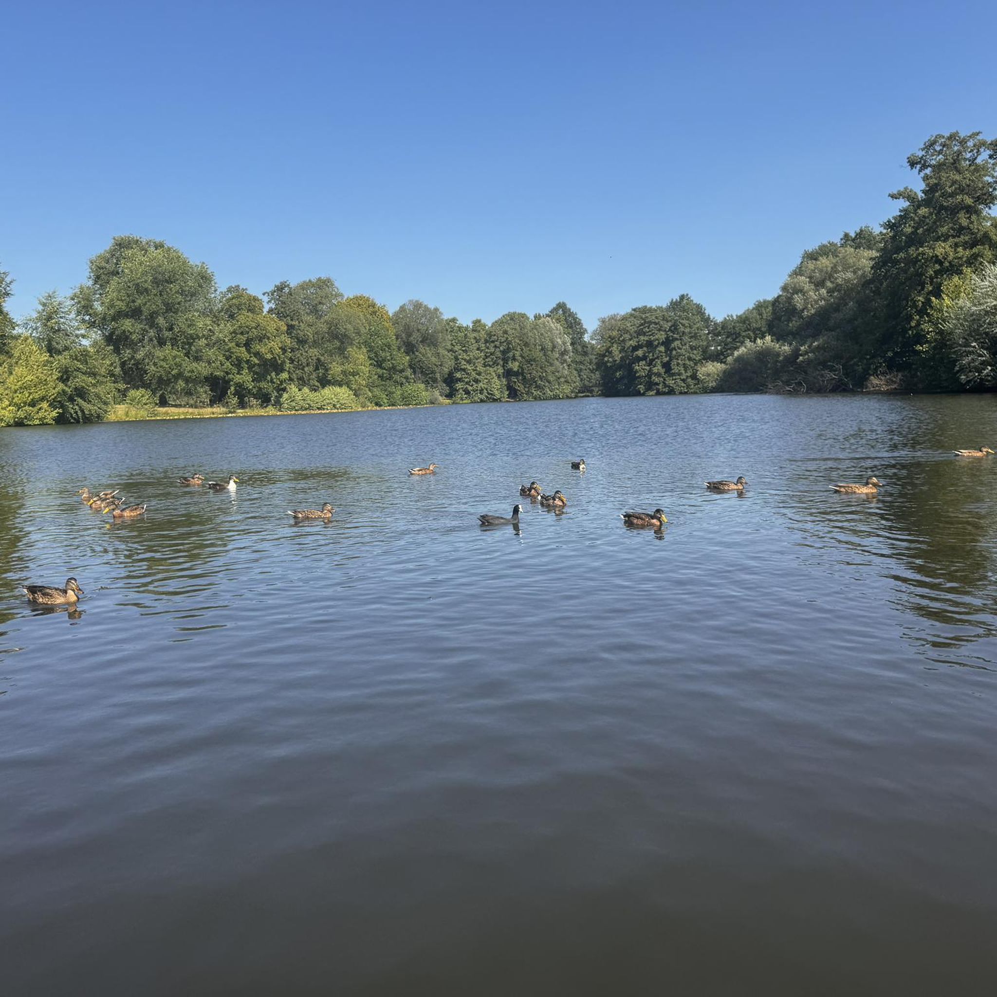
Other adventures around Les Breuleux

Tips from the Community


South climb from Nods with a decent gradient of 9-13%, with peaks of up to 15%. The downhill is also easy to ride, but you have to brake a lot. If you have the choice, go up the north side and down the south side to Les Savagnières dessous. It is much flatter and therefore easier on the brakes.
0
0

Pass located at 980m altitude. From Saint-Hippolyte, the ascent is considered 2nd category, with 18.2 kilometers with an average of 3.2% (and 9.3% over the steepest 100 meters). From Goumois and the bed of the Doubs, the ascent (category 3) is shorter (9.8 kilometers) and steeper with an average slope of 4.8% (10.4% over the steepest 100 meters). you will find an orientation table at the pass which will give you directions to the Chasseral range which rises to 1600 meters on the Swiss side of the border.
1
0

It's steep, you need to be careful when driving down, the asphalt is bad in places.
0
0
Comfortable climb through shady forest and moderate gradient. The downhill is also easy to ride, sometimes steep in the double-digit % range. Asphalt is good so far.
0
0

Mont Crosin is one of the highest peaks in the Bernese Jura. The ascent already begins when you come from the south (VILLIERS), at the entrance to the village with a steep ramp to the center of the village. Now you follow the road to TRAMELAN and the ascent runs in the wooded ascent over 5.7 kilometers with an average of 7%. At the top you can see the Jura in the direction of TRAMELAN. There are quite a few motorbikes on weekends, but highly recommended.
1
0
more unpleasant ascent than the north ramp, too long straights; better for downhill
0
0

A strenuous, very beautiful route. However, many cars and motorcycles drive here, sometimes at high speeds.
0
0
Frequently Asked Questions
What are the most notable mountain passes and high-altitude destinations near Les Breuleux?
The most prominent high-altitude destination near Les Breuleux is the Chasseral, which is the highest point in the northern Swiss Jura at 1,607 meters. The Col du Chasseral itself is located at 1,502 meters and offers breathtaking panoramic views encompassing the Swiss Plateau, the Alps, the Vosges, and the Black Forest.
What kind of views can I expect from the Chasseral summit?
From the Chasseral summit, you are treated to magnificent 360-degree panoramic views. These expansive vistas include the entire Swiss Plateau, the majestic Alps, the distant Vosges mountains, and the Black Forest. The summit is also recognizable by its prominent 155-meter-high telecommunication tower.
Are there challenging ascents for cyclists in the Les Breuleux area?
Yes, the climb to Chasseral is known for being challenging, particularly for cyclists. For example, the Col du Chasseral marks the start of a 1.5-kilometer final sprint to the highest point, involving 100 meters of elevation gain. Another challenging route is the ascent to Mont Crosin (1,227 m), which includes a 5.7-kilometer section with an average gradient of 7%.
What hiking opportunities are available around the Chasseral area?
The Chasseral area offers numerous hiking trails, including sections of the Jura Crest Trail. A popular hike leads from the Hotel Chasseral, descending through the Combe Grède nature reserve, known for its rugged rock faces where chamois and marmots reside. You can find more hiking options in the region by exploring Hiking around Les Breuleux.
What unique natural features can I observe in the Chasseral Nature Park?
The Chasseral lies within the Chasseral Nature Park, an area recognized for its rich biodiversity. The landscape features typical Jura wooded pastures, and diverse flora, including alpine plants and yellow gentians, can be observed in summer. The Combe Grède nature reserve is also home to chamois and marmots.
Are there any viewpoints offering orientation to the surrounding ranges?
Yes, the Col de la Vierge, located at 980 meters altitude, offers an orientation table with directions towards the Chasseral range, providing a clear perspective of the surrounding mountains.
What are the options for road cycling near Les Breuleux's mountain passes?
Les Breuleux is a great base for road cycling. You can find challenging routes such as the 'Mont Soleil Wind Turbines – Chasseral Summit and Viewpoint loop' or the 'Ascent to La Caquerelle – Sorne Gorge Road (Gorges du Pichoux) loop'. Explore more options on the Road Cycling Routes around Les Breuleux guide.
Can I find mountain biking trails in the Les Breuleux region?
Absolutely. The area around Les Breuleux offers various mountain biking trails, ranging from moderate to difficult. Examples include the 'Mont Soleil Wind Farm – Mont-Soleil Solar Power Plant loop' and the 'Power as far as the eye can see – Peu-Péquignot Inn loop'. Discover more trails in the MTB Trails around Les Breuleux guide.
What do visitors particularly enjoy about the mountain passes near Les Breuleux?
Visitors appreciate the challenging ascents for cyclists, the beautiful and busy passes like Col du Chasseral, and the rewarding panoramic views. Many find the effort worthwhile, especially for the unique experience of reaching the highest points and exploring the diverse natural landscapes.
Are there any specific tips for cycling the Col du Chasseral?
For cyclists, the Col du Chasseral is a popular and challenging route. The road is paved and generally accessible most of the year. The final 1.5-kilometer sprint to the highest point involves 100 meters of elevation gain, offering a chance to push your limits. The South Ascent from Nods offers a comfortable climb through shady forest with a moderate gradient, though it can become steep in sections.
What is the significance of the Chasseral in the Swiss Jura?
The Chasseral is highly significant as it is the highest point in the northern Swiss Jura, reaching an elevation of 1,607 meters above sea level. It is also the highest non-Alpine peak in the canton of Bern, making it a prominent landmark and a key destination for outdoor enthusiasts in the region.
Can I find local culture and cuisine near the mountain passes?
Yes, throughout the Chasseral region, traditional 'métairies' (inns) offer local specialties, often made with fresh produce. These establishments provide a taste of the authentic Jura experience and are a great way to enjoy local culture after exploring the mountain passes.
Most popular routes around Les Breuleux
Most popular attractions around Les Breuleux

Get inspired with the komoot mobile app


Explore more
See even more epic mountain passes by checking out these guides around Les Breuleux:
