The best traffic-free bike rides in Bürgerwald
4.5
(31)
181
riders
52
rides
Bürgerwald gravel bike trails no traffic offer varied terrain within a dynamic low mountain range environment. The region, part of the Nordpfälzer Bergland, features significant elevation changes, with peaks reaching over 400 meters. A network of waterways, including the Ambach and its tributaries, shapes the landscape. These natural features provide diverse routes for gravel biking, combining forest paths and country roads.
Best no traffic gravel bike trails in Bürgerwald
- The most popular no traffic gravel bike trail is Lohwald Nature…
Last updated: October 9, 2026
5.0
(1)
2
riders
Moderate gravel ride. Good fitness required. Mostly paved surfaces. Suitable for all skill levels.
4.7
(3)
14
riders
Moderate gravel ride. Good fitness required. Mostly paved surfaces. Suitable for all skill levels.

4
riders
47.8km
03:09
620m
620m
Hard gravel ride. Very good fitness required. Mostly paved surfaces. Suitable for all skill levels.
4.0
(3)
7
riders
36.4km
02:13
410m
410m
Moderate gravel ride. Good fitness required. Mostly paved surfaces. Suitable for all skill levels.
4.5
(2)
14
riders
27.2km
01:44
390m
390m
Moderate gravel ride. Good fitness required. Mostly paved surfaces. Suitable for all skill levels.
Get access to more routes and recommendations from other explorers.
Already have an account?
Our route recommendations are based on thousands of hikes, rides, and runs completed by other people on komoot.
Start today with a free account
Your next adventure awaits.
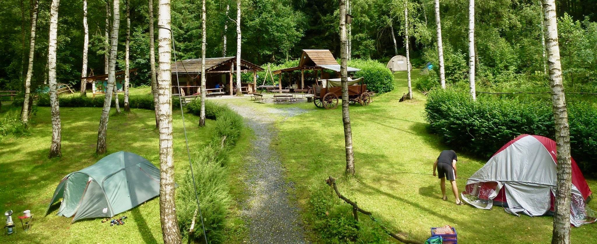
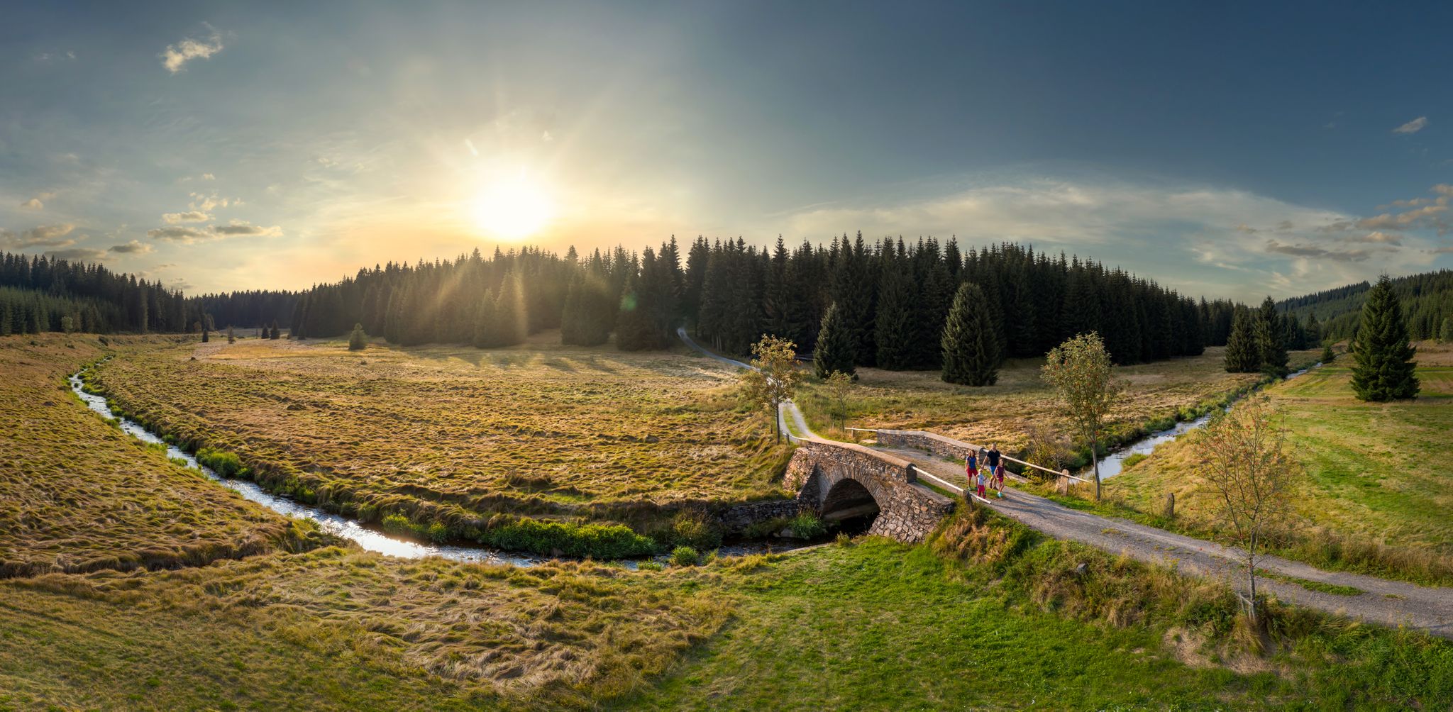



Tips from the Community

Place exit towards Dorfchemnitz
0
0

Very nice tour and lots of great views.
0
0

Zwäntzer „Lieblingsplatzl“ in new attire since November 2024. "It's a magnificent view over our hometown from the old railway track across the valley towards the tower of the Holy Trinity Church and on to Ziegenberg, when it's not raining. A place to pause and be grateful that we can live so idyllically. Here you can enjoy the vastness and feel a sense of belonging." In May 2024, two wave benches were purchased for this beautiful "Platzl" and a photo frame was added later. https://zwoenitzer-anzeiger.de/2024/11/12/zwaentzer-lieblingsplatzl-in-neuem-gewand/
1
0
The Iron Trail is a high-altitude trail in the Ore Mountains, whose historical route follows the northern edge of the Ore Mountains. According to local history, it was used as early as the Middle Ages for transporting iron ore from the Schneeberg area. The route, still marked today, runs from Katzenstein near Affalter and through the Streitwald forest to Tabakstanne, continuing through the Bürgerwald forest, past the Schwarzes Kreuz memorial, to Harthauer Berg, located south of Chemnitz on Federal Highway 95. Today, the Iron Trail is a popular route for hikers and cyclists, connecting the area south of Chemnitz with the hiking trails of the central Ore Mountains. Source: Wikipedia https://de.wikipedia.org/wiki/Eisenweg_(Erzgebirge)
0
0

Drives well.
0
0

It's just beautiful here😊.
0
1

Not Forbach! It's the Forzbachl spring. Even if it sounds rude.
4
0

"The Royal Saxon Triangulation (here with its historical proper name) is a national survey carried out between 1862 and 1890 on the territory of the Kingdom of Saxony, with the simultaneous creation of a trigonometric network. The goal was to record the national territory with scientific and geodetic precision and, by establishing permanently marked reference points, to create the basis for the production of accurate maps." - https://de.wikipedia.org/wiki/K%C3%B6niglich-S%C3%A4chsische_Triangulirung The triangulation network created by August Nagel was considered one of the most accurate surveying networks in the world at the time. The Nagel columns are preserved today as technical monuments. From the Katzenstein station, the stations of Pfaffenberg (near Hohenstein-Ernstthal), Steinkamm, Schatzenstein, Hirschenstein, and Reinsdorf were surveyed. All of these mountains can still be seen today, along with many more. On a clear day, you can enjoy a fabulous panoramic view of the Ore Mountains, Vogtland, Fichtel Mountains, and the Ore Mountains foothills around Zwickau and Chemnitz.
2
0
Frequently Asked Questions
How many traffic-free gravel bike trails are available in Bürgerwald?
Bürgerwald offers a wide selection of traffic-free gravel bike trails, with over 50 routes to explore. These range from easy, leisurely rides to more challenging adventures across the region's varied terrain.
What kind of terrain can I expect on Bürgerwald's gravel bike trails?
The Bürgerwald region, part of the Nordpfälzer Bergland, features a dynamic low mountain range environment. You can expect varied terrain including forest paths, country roads, and trails with significant elevation changes, offering both challenging climbs and rewarding descents. The landscape is characterized by diverse forests, river valleys, and streams.
Are there any easy gravel bike routes suitable for beginners or families in Bürgerwald?
Yes, Bürgerwald has several easy gravel bike routes perfect for beginners or families looking for a relaxed ride. One such route is the Lohwald Nature Trail and Pond – Christel ground pond loop from Thalheim Mitte, which covers about 12 km with moderate elevation changes, offering a pleasant experience away from traffic.
What are some natural attractions or viewpoints I can discover along the gravel bike trails?
While cycling the traffic-free gravel trails in Bürgerwald, you can encounter several natural highlights. The Stollberg Reservoir (Querenbach Reservoir) and the Querenbach Dam are notable water features. You might also discover natural monuments like the Forzbachl spring or the Waldwasser Fountain Kamerun, offering peaceful spots to pause and enjoy the surroundings.
Are there any longer, more challenging gravel bike routes for experienced riders?
Absolutely. For experienced gravel bikers seeking a challenge, Bürgerwald offers routes with more significant distances and elevation gains. The Zwönitz View Frame – View of Fichtelberg loop from Meinersdorf (Erzgeb) is a difficult route spanning nearly 50 km with almost 600 meters of ascent, providing a demanding yet rewarding experience.
What do other gravel bikers enjoy most about the trails in Bürgerwald?
The komoot community highly rates the gravel biking experience in Bürgerwald, with an average score of 4.4 out of 5 stars. Reviewers often praise the quiet, traffic-free nature of the routes, the diverse forest landscapes, and the opportunity to immerse themselves in nature away from busy roads.
Can I find routes that pass by historical or interesting man-made features?
Yes, some routes incorporate points of interest that reflect the region's character. For example, the Old Brickyard Recreation Area – Klaffenbach Water Castle loop from Stollberg Schlachthofstraße offers a moderate ride that passes by the Old Brickyard Recreation Area, providing a glimpse into local history and industry.
Are there any routes that follow old paths or historical tracks?
Indeed. The Eisenweg, which translates to 'Iron Way,' is a notable trail in Bürgerwald. While not a specific route in this guide, it represents the kind of historical paths you might encounter, often repurposed for cycling, offering a unique blend of nature and heritage. You can find routes like the Eisenweg Meinersdorf–Brünlos – View of Brünlos loop from Pfaffenhain that incorporate sections of such historical tracks.
What is the best time of year to go gravel biking in Bürgerwald?
Bürgerwald's diverse forests and varied terrain make it enjoyable for gravel biking throughout much of the year. Spring and autumn offer pleasant temperatures and beautiful scenery with blooming flora or vibrant fall colors. Summer is also great, especially for shaded forest paths. Winter can be challenging due to snow and ice, but some routes might still be accessible depending on conditions.
Are there any circular gravel bike routes available?
Many of the traffic-free gravel bike trails in Bürgerwald are designed as loops, allowing you to start and end at the same point. This is convenient for parking and planning your day. Examples include the Stollberg Reservoir – Würschnitztal Cycle Path loop from Niederwürschnitz, which offers a moderate 27 km ride.
What are the typical elevation gains on Bürgerwald's gravel routes?
Given Bürgerwald's low mountain range topography, you can expect varied elevation gains. Moderate routes typically feature ascents between 170 to 420 meters, while more difficult trails can involve climbs of up to 600 meters or more, such as the route to the View of Fichtelberg.
Most popular routes in Bürgerwald
Most popular attractions in Bürgerwald

Get inspired with the komoot mobile app


Explore more
Browse the best Gravel rides in other regions.
