The best hikes from bus stations in Königswald
4.6
(19865)
84,716
hikers
22
hikes
Bus station hiking trails in Königswald traverse a landscape characterized by extensive forests, including pine, oak, and mixed deciduous trees, interspersed with meadows and wetlands. The region features low elevation changes, making many paths accessible. Key natural features include the Sacrower See, one of Brandenburg's deepest natural lakes, and several hills such as the Zedlitzberg and Luisenberge. The western part of Königswald borders the Jungfernsee and the Havel river, lined with reed beds and alder carrs.
Best bus station hiking…
Last updated: October 9, 2026
4.8
(106)
328
hikers
Moderate hike. Good fitness required. Easily-accessible paths. Suitable for all skill levels.
4.8
(845)
2,511
hikers
Moderate hike. Good fitness required. Easily-accessible paths. Suitable for all skill levels.

4.8
(56)
188
hikers
9.04km
02:20
50m
50m
Moderate hike. Good fitness required. Easily-accessible paths. Suitable for all skill levels.
4.4
(46)
196
hikers
5.60km
01:26
20m
20m
Easy hike. Great for any fitness level. Easily-accessible paths. Suitable for all skill levels.
4.9
(59)
154
hikers
Moderate hike. Good fitness required. Easily-accessible paths. Suitable for all skill levels.
Get access to more routes and recommendations from other explorers.
Already have an account?
Our route recommendations are based on thousands of hikes, rides, and runs completed by other people on komoot.
Other adventures in Königswald

Tips from the Community

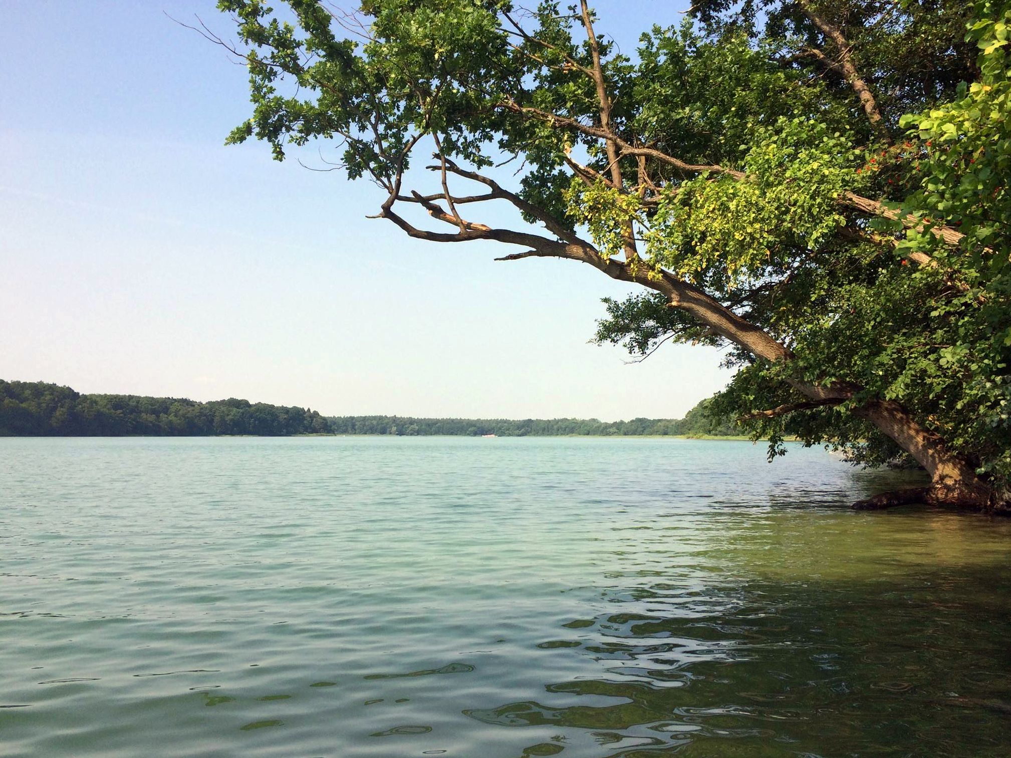
The Sacrower See is the clearest lake in the entire area. The water is clean and there are many small and large bathing spots. A hiking trail leads around the lake, which can also be partially cycled and is a beautiful tour. A trip here is definitely worth it, especially tomorrow and during the week, when it is nice and empty and quiet here.
0
0


A beautiful, deeply relaxing hiking trail around the lake. Nothing special or challenging, but a lovely shoreline path with a few swimming spots along the route.
0
0

wonderful view over the Havel to Cecilienhof and Babelsberg Park
0
0

A beautiful, shady spot on Lake Sacrow, not far from the hiking trail.
0
0

The natural monument of an oak tree in Sacrow Palace Park is worth a visit. Protect nature and respect the boundaries.
0
0

There is a very beautiful park around it.
0
0

The path leads through the quiet forest along Lake Sacrow. Here you can enjoy nature and switch off.
0
0
Frequently Asked Questions
How many bus station hiking trails are available in Königswald?
There are over 20 bus station hiking trails in Königswald, offering a variety of options to explore the region without a car. These routes start directly from public transport stops, making them easily accessible.
What is the general difficulty level of bus station hikes in Königswald?
The bus station hikes in Königswald cater to various fitness levels. The majority of routes are rated as easy or moderate, with 13 easy and 8 moderate trails. There is also one more challenging route for experienced hikers.
Are there family-friendly bus station hikes in Königswald?
Yes, Königswald offers several family-friendly bus station hikes. Many routes feature low elevation changes and pass by interesting natural features like the South End of Sacrower Lake, making them suitable for families. The easy-rated trails are generally a good choice for outings with children.
Can I bring my dog on bus station hikes in Königswald?
Königswald is generally dog-friendly, with many trails winding through its extensive forests and along the Sacrower See. While specific restrictions may apply in certain protected areas or near bathing spots, most paths are suitable for dogs on a leash. Always be mindful of local regulations and wildlife.
Are there circular bus station hiking routes in Königswald?
Yes, many of the bus station hikes in Königswald are circular routes, allowing you to start and end your journey at the same public transport stop. For example, the South End of Sacrower Lake – Sacrow Lake Shore Trail loop from Glienicker Brücke is a popular circular option.
What attractions can I see along the bus station hiking trails?
The bus station hiking trails in Königswald often combine natural beauty with historical sites. You can explore landmarks such as the Römerschanze in Königswald, the Sacrow Palace, and the Church of the Savior. Many routes also offer views of the crystal-clear Sacrower See and its bathing spots like the Sacrower Lake East Swimming Area.
Are there places to eat or drink near the bus station hiking trails?
Yes, some routes pass by or are close to places where you can find refreshments. For instance, the Sacrow Palace – Gartenlokal Giardino loop from Glienicker Brücke specifically includes a stop at a garden restaurant, offering a convenient break during your hike.
What is the typical length and duration of bus station hikes in Königswald?
The bus station hikes vary in length and duration. You can find shorter, easier strolls like the Sacrow Palace – Gartenlokal Giardino loop from Glienicker Brücke, which is about 5.7 km and takes under 2 hours. Longer, moderate options, such as the Sacrow Palace – Lakeside rest area and small swimming spot at Sacrower See loop from Pfaueninsel, can be up to 18 km and take around 4.5 hours.
What makes Königswald a unique hiking destination accessible by bus?
Königswald, located near Potsdam, is unique for its blend of dense forests, diverse ecosystems, and historical significance, all easily reachable by public transport. It's home to Brandenburg's deepest natural lake, Sacrower See, and features protected landscapes. The region's well-maintained paths and relatively low elevation changes make it accessible for many, offering a serene escape into nature and history.
Which bus station hikes offer the best views of Sacrower See?
Many trails provide excellent views of the Sacrower See. The South End of Sacrower Lake – Sacrow Lake Shore Trail loop from Glienicker Brücke is particularly known for its picturesque lake views and access to bathing spots. Another great option is the Lakeside rest area and small swimming spot at Sacrower See – South End of Sacrower Lake loop from Glienicker Brücke.
What do other hikers enjoy most about bus station hikes in Königswald?
The komoot community highly rates the hiking experience in Königswald, with an average score of 4.6 stars. Reviewers often praise the quiet woodlands, the clear waters of Sacrower See, and the combination of natural beauty with historical sites like Sacrow Palace. The accessibility via public transport is also frequently highlighted as a major benefit.
Most popular routes in Königswald
Most popular attractions in Königswald

Get inspired with the komoot mobile app


Explore more
Browse the best Hikes in other regions.
