The best traffic-free bike rides in Suhler Stadtwald
4.5
(25)
77
riders
24
rides
Gravel biking in Suhler Stadtwald offers a diverse landscape characterized by the southwestern slopes of the Thuringian Forest. The region features mountainous terrain with elevations up to 750 meters, providing varied topography suitable for gravel routes. Extensive forests and a network of trails define the area, combining dirt paths and light trails for off-road cycling. This natural setting ensures a range of challenging and scenic no traffic gravel bike trails.
Best no traffic gravel bike trails in Suhler Stadtwald
- The…
Last updated: July 6, 2026
3.0
(1)
9
riders
32.9km
02:24
680m
680m
Hard gravel ride. Very good fitness required. Mostly paved surfaces. Suitable for all skill levels.
4
riders
26.6km
01:52
460m
460m
Hard gravel ride. Very good fitness required. Mostly paved surfaces. Suitable for all skill levels.

Sign up for free
6
riders
34.1km
02:04
500m
510m
Hard gravel ride. Very good fitness required. Mostly paved surfaces. Suitable for all skill levels.
4.5
(2)
4
riders
36.2km
02:12
480m
480m
Hard gravel ride. Very good fitness required. Mostly paved surfaces. Suitable for all skill levels.
5.0
(3)
16
riders
Hard gravel ride. Very good fitness required. Mostly paved surfaces. Suitable for all skill levels.
Get access to more routes and recommendations from other explorers.
Sign up for free
Already have an account?
Our route recommendations are based on thousands of hikes, rides, and runs completed by other people on komoot.
Start today with a free account
Your next adventure awaits.
Login or Signup
Popular around Suhler Stadtwald
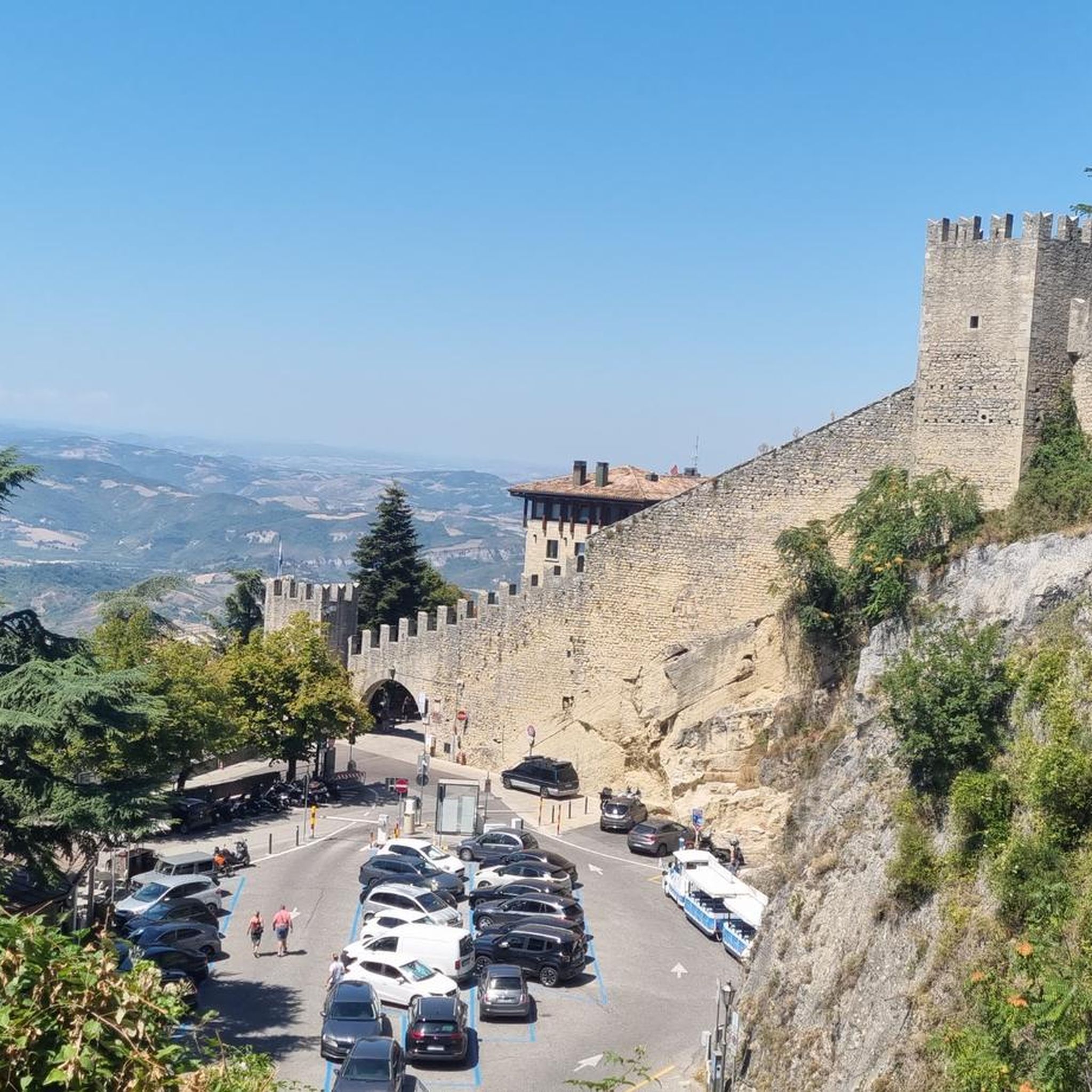
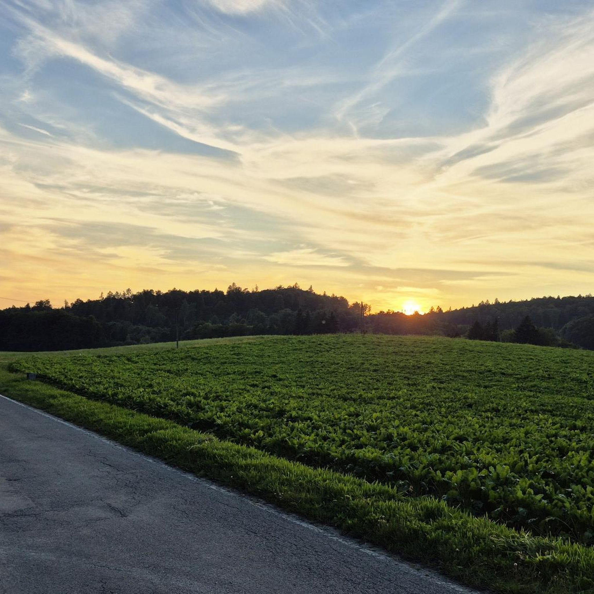
Tips from the Community

Large intersection with many small roads.
1
0


This is an interesting building complex
1
0

various old halls and buildings, interesting flair
1
0

The Bismarck Tower on the Domberg in Suhl is a historic observation tower built in 1896 in honor of Otto von Bismarck. It stands at a height of 676 meters and offers an impressive 360° panoramic view of Suhl, the Thuringian Forest, and the Rhön Mountains.
12
0
The Suhl Nature Park Gate on the Domberg is a popular entry point into the Thuringian Forest Nature Park and offers hikers exciting nature experiences. Right here, next to the parking lot, there's a lovely rest area for a relaxing break.
12
0


On the Rennsteig cycle path to the Bierfleck crossroads, there are a variety of options for one destination!
1
0
Frequently Asked Questions
How many no-traffic gravel bike trails are available in Suhler Stadtwald?
Komoot offers around 25 dedicated no-traffic gravel bike trails in Suhler Stadtwald. These routes are designed to keep you away from busy roads, allowing for a peaceful and immersive experience in the region's beautiful forests and varied terrain.
What kind of terrain can I expect on the gravel bike trails in Suhler Stadtwald?
The Suhler Stadtwald offers a diverse and engaging terrain for gravel biking. You'll encounter a mix of well-maintained forest roads, dirt paths, and light trails, characteristic of the Thuringian Forest's mountainous landscape. Expect varied topography with both challenging ascents and rewarding descents, all within 'endless forests' and picturesque natural settings.
Are there any family-friendly no-traffic gravel routes in Suhler Stadtwald?
While many routes in Suhler Stadtwald are rated as 'difficult' due to elevation changes, the region's extensive trail network includes paths suitable for various skill levels. For family-friendly options, look for routes with less extreme elevation gain and shorter distances. Always check the specific tour details on komoot for the most up-to-date difficulty ratings and terrain information to ensure it suits your family's abilities.
What are some notable landmarks or viewpoints I can discover along the trails?
Suhler Stadtwald is rich with scenic spots and historical landmarks. You can enjoy panoramic views from the Altendambach Heights, offering vistas into the Hildburghäuser Unterland, or from the Schneeberg Summit and Shelter. The serene Dreisbachteich is an idyllic pond perfect for a rest, and you might also encounter historical sites like the Kroatenkreuz or the Leipzig’s Rasen Deserted Medieval Village.
Are there any circular gravel bike routes available?
Yes, many of the no-traffic gravel bike trails in Suhler Stadtwald are designed as circular routes, allowing you to start and end at the same point. For example, consider the challenging "View from Goldlauter Ski Slope – Bierfleck Trail Junction loop from Suhl" or the "Bismarck Tower on the Domberg – Ottilia Chapel loop from Suhl" for a full loop experience.
What is the best time of year for gravel biking in Suhler Stadtwald?
The best time for gravel biking in Suhler Stadtwald is typically from spring through autumn. During these seasons, the weather is generally mild, and the trails are in optimal condition. While the region is known for winter sports in nearby areas, winter gravel biking can be challenging due to snow and ice, so it's advisable to check local conditions if planning a trip outside of the warmer months.
Are dogs allowed on the gravel bike trails?
Generally, dogs are welcome on trails in the Suhler Stadtwald, especially on forest roads and paths. However, it's always recommended to keep your dog on a leash, particularly in nature protection areas or when encountering wildlife. Please be mindful of other trail users and local regulations regarding pets.
Where can I find refreshments or places to rest along the trails?
The Suhler Stadtwald offers a few welcoming spots for refreshments. The Lange Bahn mining lodge, for instance, is located in the middle of the forest and serves simple food and drinks on weekends and holidays. Additionally, the Schneeberg Summit and Shelter provides a well-situated protective hut with ample seating for a break.
What do other gravel bikers enjoy most about Suhler Stadtwald?
The Suhler Stadtwald is highly rated by the komoot community, with an average score of 4.4 out of 5 stars from over 20 reviews. Reviewers often praise the region for its 'endless forests,' varied terrain perfect for gravel biking, and the peaceful, traffic-free nature of the trails. The rewarding panoramic views from summits and the well-maintained trail network are also frequently highlighted.
Are there any longer, more challenging no-traffic gravel routes?
Yes, Suhler Stadtwald offers several longer and more challenging routes for experienced gravel bikers. For instance, the "Iron Hand – Erletor Reservoir loop from Ahlstädt" covers over 36 km with significant elevation, and the "View of the Schönbrunn Reservoir – Schönbrunn Reservoir loop from Schleusingen" is nearly 47 km long, both offering demanding rides through the scenic landscape.
Is parking available near the trailheads in Suhler Stadtwald?
Suhl is easily accessible, and there are various parking options available around the Suhler Stadtwald, making it convenient to start your gravel biking adventure. Locations like the Altendambach Heights often serve as starting points with parking facilities. It's advisable to check specific tour starting points for the nearest parking information.
Most popular routes in Suhler Stadtwald
Most popular attractions in Suhler Stadtwald

Get inspired with the komoot mobile app


