The best traffic-free bike rides in Mönchswald
4.6
(1379)
21,980
riders
137
rides
No traffic road cycling routes in Mönchswald traverse a landscape characterized by extensive forested areas and idyllic valleys, forming part of the wider Altmühltal Nature Park. The region features mostly paved surfaces, offering a smooth experience for road cyclists. Terrain is generally flat to slightly hilly, particularly along river valleys, with some routes presenting more significant ascents. This area provides a mix of natural features, including broad valleys, green meadows, and wooded areas, suitable for varied cycling experiences.
Best no traffic road cycling routes in Mönchswald
- The most popular no traffic road cycling route is Breitenauer See – Breitenauer Lake loop from Ellhofen, a 10.8 miles (17.5 km) trail that takes 42 minutes to complete. This route offers an easy ride around Breitenauer Lake.
- Another top favourite among local road cyclists is Brettach Confluence (Kocher) – View of the Kocher River loop from Langenbrettach, a moderate 14.2 miles (22.9 km) path. This route features views of the Kocher River and moderate elevation changes.
- Local road cyclists also love the Bikepark Obersulm – Bikepark Obersulm loop from Ellhofen, a 8.6 miles (13.8 km) trail leading through varied terrain, often completed in about 38 minutes.
- Road cycling in Mönchswald is defined by extensive forests, idyllic valleys, and the meandering Altmühl River, with routes offering options for different ability levels.
- The routes in Mönchswald are highly rated by the komoot community with an average score of 4.6 stars from over 1200 reviews. More than 20000 road cyclists have used komoot to explore Mönchswald's varied terrain.
Last updated: July 6, 2026
8
riders
Moderate road ride. Great for any fitness level. Some segments of this route may be unpaved and difficult to ride.
5.0
(1)
45
riders
Easy road ride. Great for any fitness level. Mostly well-paved surfaces and easy to ride.

Sign up for free
5.0
(1)
37
riders
31.9km
01:33
430m
430m
Moderate road ride. Good fitness required. Mostly well-paved surfaces and easy to ride.
2.5
(2)
22
riders
Moderate road ride. Great for any fitness level. Some segments of this route may be unpaved and difficult to ride.
5.0
(2)
15
riders
10.9km
00:29
40m
40m
Moderate road ride. Great for any fitness level. Some segments of this route may be unpaved and difficult to ride.
Get access to more routes and recommendations from other explorers.
Sign up for free
Already have an account?
Our route recommendations are based on thousands of hikes, rides, and runs completed by other people on komoot.
Start today with a free account
Your next adventure awaits.
Login or Signup
Popular around Mönchswald
Tips from the Community

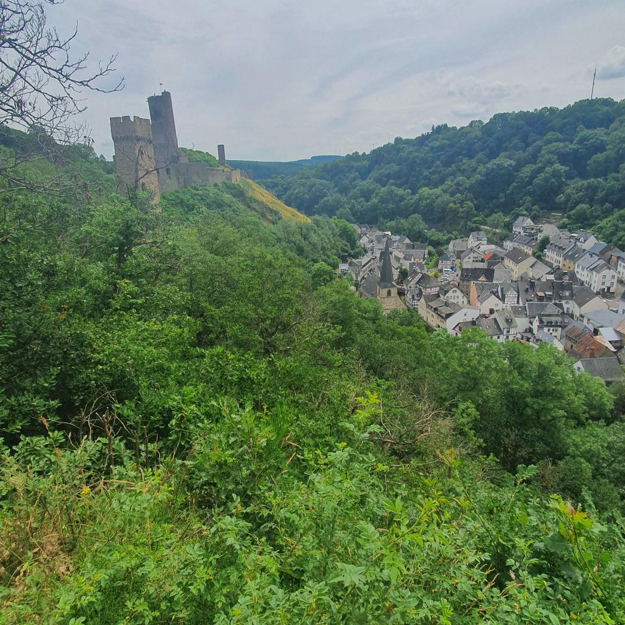
From the surrounding vineyards and farm tracks, you always have a great view of the lake.
1
0
Beautiful sandy swimming beach.
1
0
You can cycle or jog around it once.
0
0

Right in the middle of Erlenbach's market square stands this small, charming fountain – a central landmark and an ideal starting or intermediate stop for tours into the surrounding vineyards. The area around the fountain invites you to linger for a short while before continuing on your way.
6
0

The Kocherradweg is almost continuously asphalted, gradient-free and comfortable to cycle on.
1
0

St. Kilian's Church in Sülzbach was built around the year 800 and is thus considered the mother church of the Weinsberg Valley. Originally, it was a fortified church, as the tower dates back to around 1200, when it also served as a defensive tower. The nave, however, was built between 1616 and 1619. Inside, the ceiling is a coffered design, with each of the 210 panels featuring a different motif. In the churchyard, against the southern wall, stands a replica of the penitential cross erected by Michael Beheim. Beheim, born in 1416, was the mayor of Sülzbach, a Meistersinger (a type of singer), a chronicler, and a soldier. He was likely murdered by highwaymen around 1474 on the road to Lehrensteinsfeld.
0
0

Covered pedestrian and bicycle bridge over the Brettach river between the school grounds and the sports fields.
4
0

Bike station with tools and air pump
0
0
Frequently Asked Questions
How many traffic-free road cycling routes are available in Mönchswald?
Mönchswald offers a wide selection of traffic-free road cycling routes, with over 130 options available. These routes range in difficulty, ensuring there's something for every cyclist looking for a peaceful ride away from busy roads.
What is the typical terrain like for no-traffic road cycling in Mönchswald?
The terrain in Mönchswald and the surrounding Altmühl-Mönchswald-Region is characterized by extensive forested areas and idyllic valleys. You can expect mostly paved surfaces, with a generally flat to slightly hilly topography, especially along river valleys. This makes for a smooth and enjoyable experience for road cyclists.
Are there family-friendly traffic-free road cycling routes in Mönchswald?
Yes, the region is well-suited for family cycling. Many routes, particularly those along river valleys like the Altmühl, offer largely flat and traffic-separated experiences. These paths are ideal for all abilities, including families, providing a relaxed and safe environment for younger riders.
When is the best time of year for traffic-free road cycling in Mönchswald?
Spring and autumn are excellent seasons for road cycling in Mönchswald, offering pleasant temperatures and beautiful scenery as the forests change colors or burst into bloom. Summer is also popular, though it can be warmer. Winter cycling is possible, but some paths might be less maintained or covered in snow.
What natural features or landmarks can I see along traffic-free road cycling routes in Mönchswald?
Cycling in Mönchswald allows you to experience diverse natural beauty and historical sites. Routes often pass through extensive forests, alongside the gently meandering Altmühl River, and past distinctive rock formations. You might encounter highlights such as the Stone Table or the serene Brettach Forest Lake. The proximity to the Altmühlsee (Altmühl Lake) is also a significant draw, offering scenic views.
Are there any circular traffic-free road cycling routes in Mönchswald?
Yes, many of the traffic-free routes in Mönchswald are designed as loops, allowing you to start and end at the same point. Examples include the Breitenauer See – Breitenauer Lake loop from Ellhofen, which is an easy ride, or the moderate Brettach Confluence (Kocher) – View of the Kocher River loop from Langenbrettach.
What is the difficulty level of traffic-free road cycling routes in Mönchswald?
Mönchswald offers a range of difficulty levels for its traffic-free road cycling routes. You'll find 51 easy routes, perfect for beginners or leisurely rides, and 81 moderate routes for those seeking a bit more challenge. There are also a few difficult routes for experienced cyclists.
Can I find cafes or places to stop for refreshments along these routes?
While specific cafes are not listed for every route, the region's cycling paths often lead through or near charming historic towns and villages. These typically offer opportunities to stop for refreshments, allowing you to combine your ride with a break for coffee or a meal.
What do other road cyclists enjoy most about traffic-free cycling in Mönchswald?
The komoot community highly rates the cycling experience in Mönchswald, with an average score of 4.59 stars. Reviewers often praise the peacefulness of the routes, the well-maintained paved surfaces, and the beautiful, varied landscapes that allow for a truly 'decelerated cycling experience' away from car traffic.
Are there any longer traffic-free road cycling routes for extended rides?
Yes, for those looking for longer rides, Mönchswald offers routes that can extend for significant distances. An example is the Hofgarten Öhringen – Hofgarten (Court Garden), Öhringen loop from Ellhofen, which covers over 60 kilometers and offers a moderate challenge.
Is public transport available to access traffic-free road cycling routes in Mönchswald?
The Altmühl-Mönchswald-Region is generally accessible, and while specific public transport links directly to every trailhead might vary, regional bus and train services often connect to the larger towns. It's advisable to check local public transport schedules for routes that accommodate bicycles, especially if you plan to combine cycling with public transit.
Most popular routes in Mönchswald
Most popular attractions in Mönchswald

Get inspired with the komoot mobile app


Explore more
Browse the best Road cycling routes in other regions.
