The best hikes from bus stations around Krško
4.4
(180)
1,255
hikers
5
hikes
Bus station hiking trails around Krško traverse a varied landscape characterized by the Sava River valley, rolling hills, and extensive vineyards. The region features a mix of forests, orchards, and open fields, providing diverse backdrops for outdoor exploration. Hikers can find routes offering views of the Krško Basin and historical sites.
Best bus station hiking trails around Krško
- The most popular bus station hiking route is Grmada loop from Krško, a 4.2 miles (6.7 km) trail that takes 2…
Last updated: May 25, 2026
5.0
(8)
14
hikers
6.69km
02:10
280m
280m
Moderate hike. Good fitness required. Easily-accessible paths. Suitable for all skill levels.
3.3
(3)
15
hikers
7.96km
02:25
250m
250m
Moderate hike. Good fitness required. Easily-accessible paths. Suitable for all skill levels.

Sign up for free
4.0
(2)
9
hikers
7.09km
01:49
30m
30m
Easy hike. Great for any fitness level. Easily-accessible paths. Suitable for all skill levels.
3.0
(1)
3
hikers
Easy hike. Great for any fitness level. Easily-accessible paths. Suitable for all skill levels.
1
hikers
Easy hike. Great for any fitness level. Easily-accessible paths. Suitable for all skill levels.
Our route recommendations are based on thousands of hikes, rides, and runs completed by other people on komoot.
Start today with a free account
Your next adventure awaits.
Login or Signup

Tips from the Community

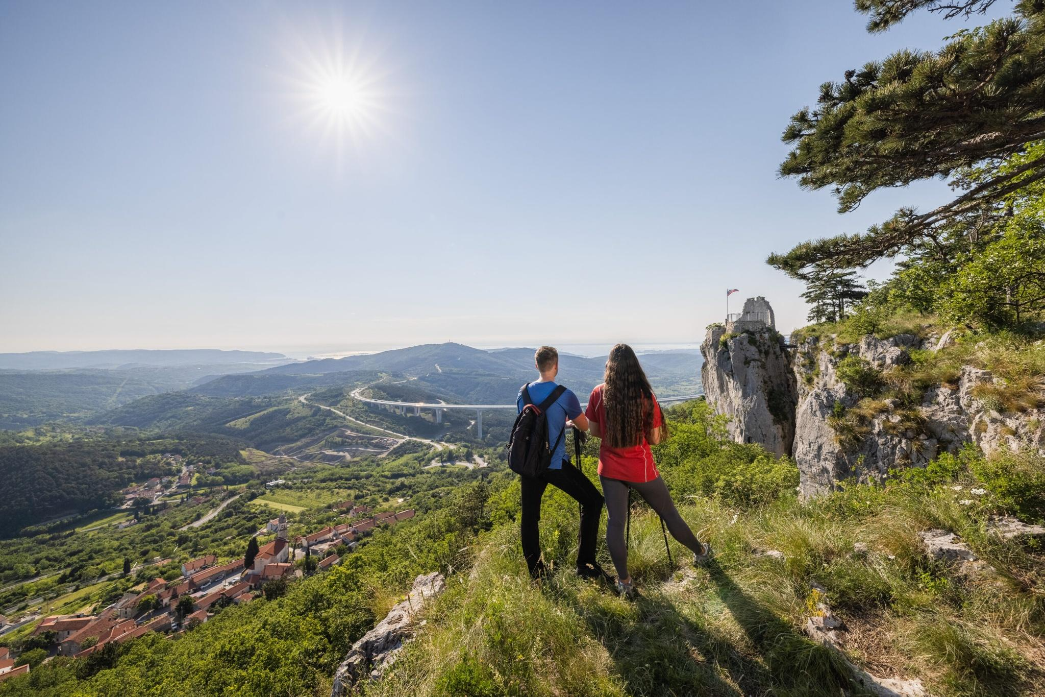
From Grmada (481 meters above sea level), you have a magnificent view of the Pannonian Plain and the Krško Fields. On a clear day, you can even see the Kamnik Alps.
1
0

The Čatež energy trail is a circular route that leads from Terme Čatež along the embankment along the Sava river and leads us to the top of Sveti Vid, where there is a wonderful view of the town of Brežice and the surrounding area. Source: https://www.visitbrezice.si/dozivetja/aktivne-pocitnice/pohodnistvo/catezeva-energijska-pot
1
0
The wooden Way of the Cross-Fourteen Stations of the Passion of Jesus is the work of the artist Vlad Cencl, who creates his wooden sculptures with a chainsaw.
1
0
From the viewing platform at 386 meters above sea level, you will be greeted by a wonderful view of Brežice and its surroundings, as well as the church of St. Vitus, which also houses the wishing bell. With the help of binoculars and a connecting code, we can see many natural and cultural attractions of the marked destinations.
2
0
Today, the water tower is the only water tower in Slovenia that is fully accessible to visitors and a testament to the innovative way of supplying water in flat areas at the beginning of the 20th century. The Visitor Center is located in the pavilion behind the Brežice Water Tower. It is intended to welcome individuals and groups eager to get to know the heritage and life of the city. In it, you can book a tour of the Brežice Water Tower and the Brežice Posavina Museum.
0
0

Should not be missed on a trip through Slovenia.
0
0
Really nice place with the roots and a very nice view
2
0

Because of all the rain lately
0
0
Frequently Asked Questions
How many hiking trails are accessible directly from bus stations in the Krško area?
There are 5 hiking trails in this guide that start conveniently from bus stations around Krško. These routes offer a mix of easy and moderate options, perfect for exploring the region without a car.
What kind of terrain can I expect on these bus-accessible hiking trails around Krško?
The trails accessible from bus stations in Krško offer varied terrain. You can expect paths winding through the picturesque Sava River valley, rolling hills, and agricultural landscapes with vineyards and orchards. Some routes, like the Grmada loop from Krško, include moderate ascents, while others, such as the Brežice Castle and Water Tower loop, are flatter and more urban-focused.
Are there any easy, family-friendly hiking options from bus stations?
Yes, several routes are suitable for families. The Brežice Castle and Water Tower loop from Brežice is an easy option, covering about 7 kilometers with minimal elevation gain. Another easy choice is the Brežice Water Tower loop, which is shorter at just over 3 kilometers.
What are the best moderate hiking trails accessible by bus in the Krško region?
For a moderate challenge, consider the Grmada loop from Krško, which offers around 280 meters of elevation gain over 6.7 kilometers. Another moderate option is the View of the Sava River – Saint Vitus Church loop from Brežice, providing scenic views over approximately 8 kilometers.
Can I find circular hiking routes that start and end at a bus station?
Yes, all the routes featured in this guide are circular, meaning they start and end at the same point, making them ideal for public transport users. Examples include the Grmada loop from Krško and the various loops starting from Brežice, such as the Brežice Castle and Water Tower loop.
What interesting landmarks or attractions can I see near these bus-accessible trails?
The Krško area is rich in cultural and natural attractions. While hiking, you might encounter historical sites like Rajhenburg Castle or the unique Kostanjevica na Krki Island Town. The Brežice Castle and Water Tower loop, for instance, takes you past significant local architecture.
Are there any trails that offer views of the Sava River?
Yes, the region's trails often provide beautiful vistas of the Sava River. The View of the Sava River – Saint Vitus Church loop from Brežice is specifically designed to showcase these river views, winding through the valley and surrounding hills.
What do other hikers say about the bus station trails around Krško?
The komoot community highly rates the hiking experiences in the Krško area, with an average score of 4.44 out of 5 stars from 171 ratings. Hikers often praise the accessibility of these routes from public transport, the diverse landscapes, and the well-maintained paths.
Is the Krško region suitable for hiking with dogs?
Generally, the Krško region is dog-friendly, with many trails passing through natural landscapes like forests and fields. It's always recommended to keep dogs on a leash, especially near agricultural areas or wildlife, and to carry water for them. Specific regulations might apply in certain protected areas, so check local signage.
What is the best time of year to hike these bus-accessible trails in Krško?
Spring and autumn are generally considered the best seasons for hiking in Krško. The weather is milder, and the landscapes are particularly beautiful with blooming flowers or vibrant autumn foliage. Summer can be pleasant, but it's advisable to start early to avoid the midday heat. Winter hiking is possible, especially on lower-elevation trails, but be prepared for colder temperatures and potentially slippery conditions.
Are there any trails that pass through vineyards or orchards?
Yes, the Krško region is known for its agricultural landscapes, including vineyards and orchards. While not explicitly detailed for every bus-accessible route in this guide, many regional trails, such as the thematic Trappist Trail (a longer regional route), wind through these idyllic settings, offering a chance to experience the local agricultural heritage.
Most popular routes around Krško
Most popular attractions around Krško

Get inspired with the komoot mobile app


