The best hikes from bus stations around Slovenska Bistrica
4.5
(1196)
9,058
hikers
43
hikes
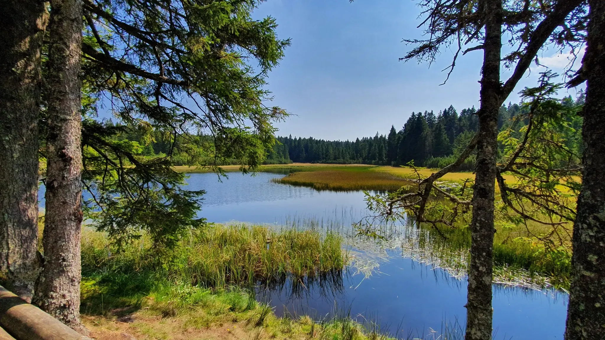
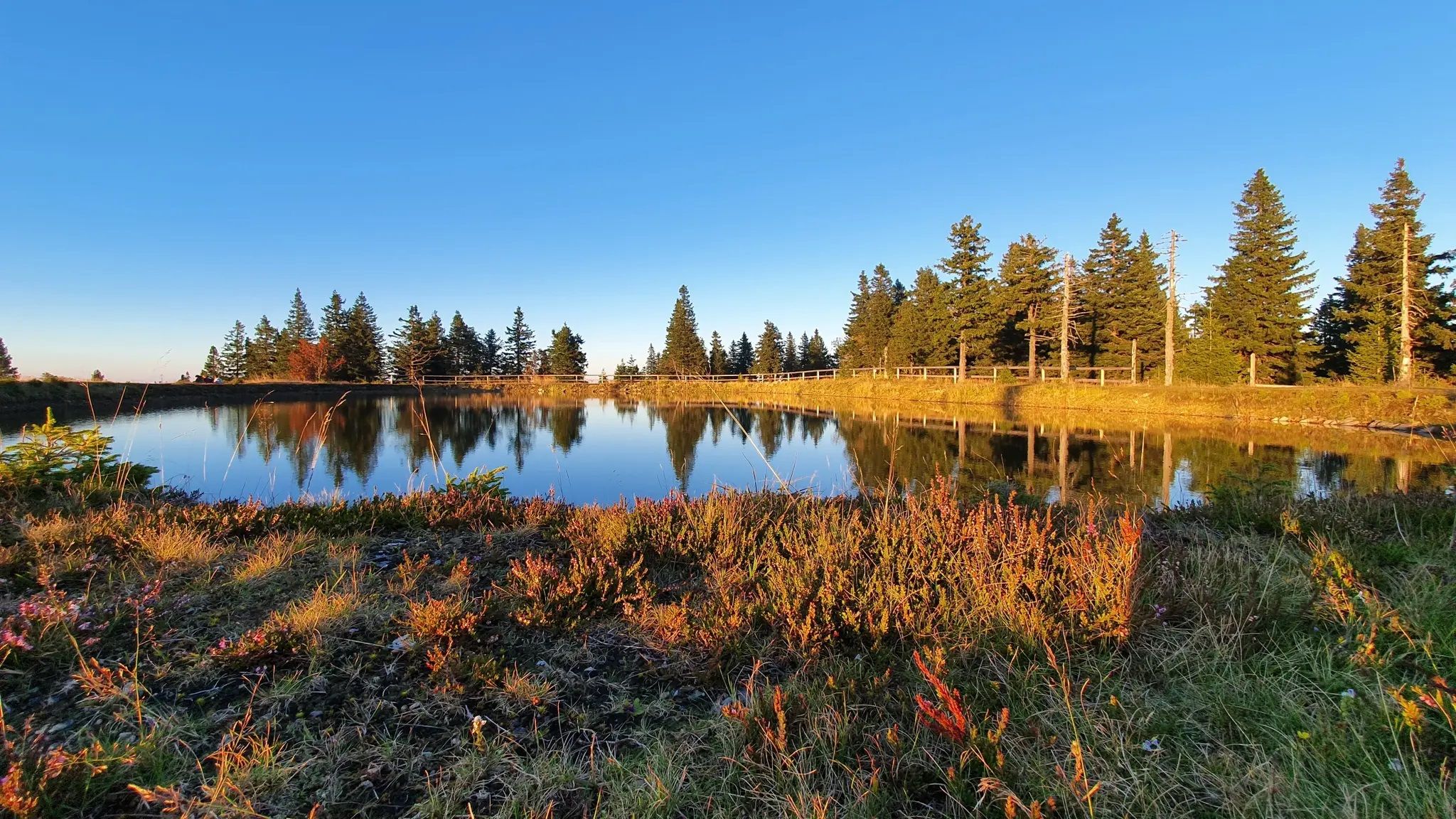
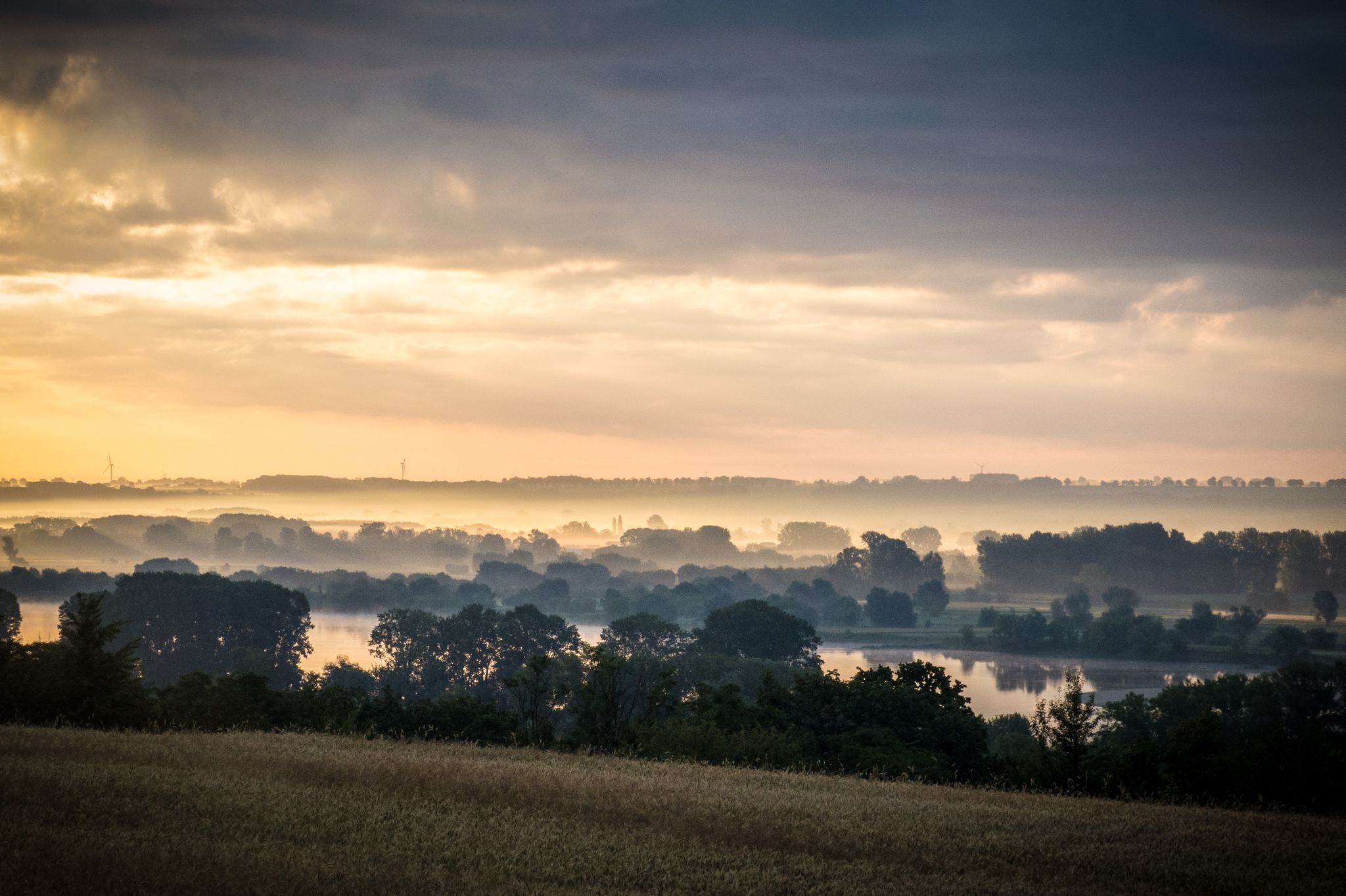
Bus station hiking trails around Slovenska Bistrica offer access to diverse natural landscapes, from the expansive Pohorje Mountain Range to the geomorphological Bistrica Gorge. The region is characterized by lush forests, alpine meadows, and significant elevation changes, providing varied terrain for hikers. Notable natural features include the tranquil Black Lake, the impressive Veliki Šumik Waterfall, and the scenic Boč Summit, which offers panoramic views. These trails provide opportunities to explore limestone formations, dense beech forests, and unique peat bog environments.
…Last updated: October 9, 2026
4.7
(20)
102
hikers
7.59km
03:02
540m
540m
Hard hike. Good fitness required. Sure-footedness, sturdy shoes and alpine experience required.
5.0
(1)
12
hikers
10.5km
03:23
440m
440m
Moderate hike. Good fitness required. Mostly accessible paths. Sure-footedness required.

15
hikers
8.57km
03:13
500m
500m
Hard hike. Good fitness required. Sure-footedness, sturdy shoes and alpine experience required.
5.0
(2)
7
hikers
15.1km
05:02
750m
750m
Hard hike. Very good fitness required. Mostly accessible paths. Sure-footedness required.
7
hikers
5.92km
01:35
70m
70m
Easy hike. Great for any fitness level. Easily-accessible paths. Suitable for all skill levels.
Get access to more routes and recommendations from other explorers.
Already have an account?
Our route recommendations are based on thousands of hikes, rides, and runs completed by other people on komoot.
Start today with a free account
Your next adventure awaits.
Other adventures around Slovenska Bistrica


Tips from the Community

The hut is located on the Polajžar meadow in Sedlo, below the summit of Mount Donacca. It lies at an altitude of 589 meters. Information about opening hours and what's on offer can be found here: https://www.pzs.si/koce.php?pid=125.
1
0

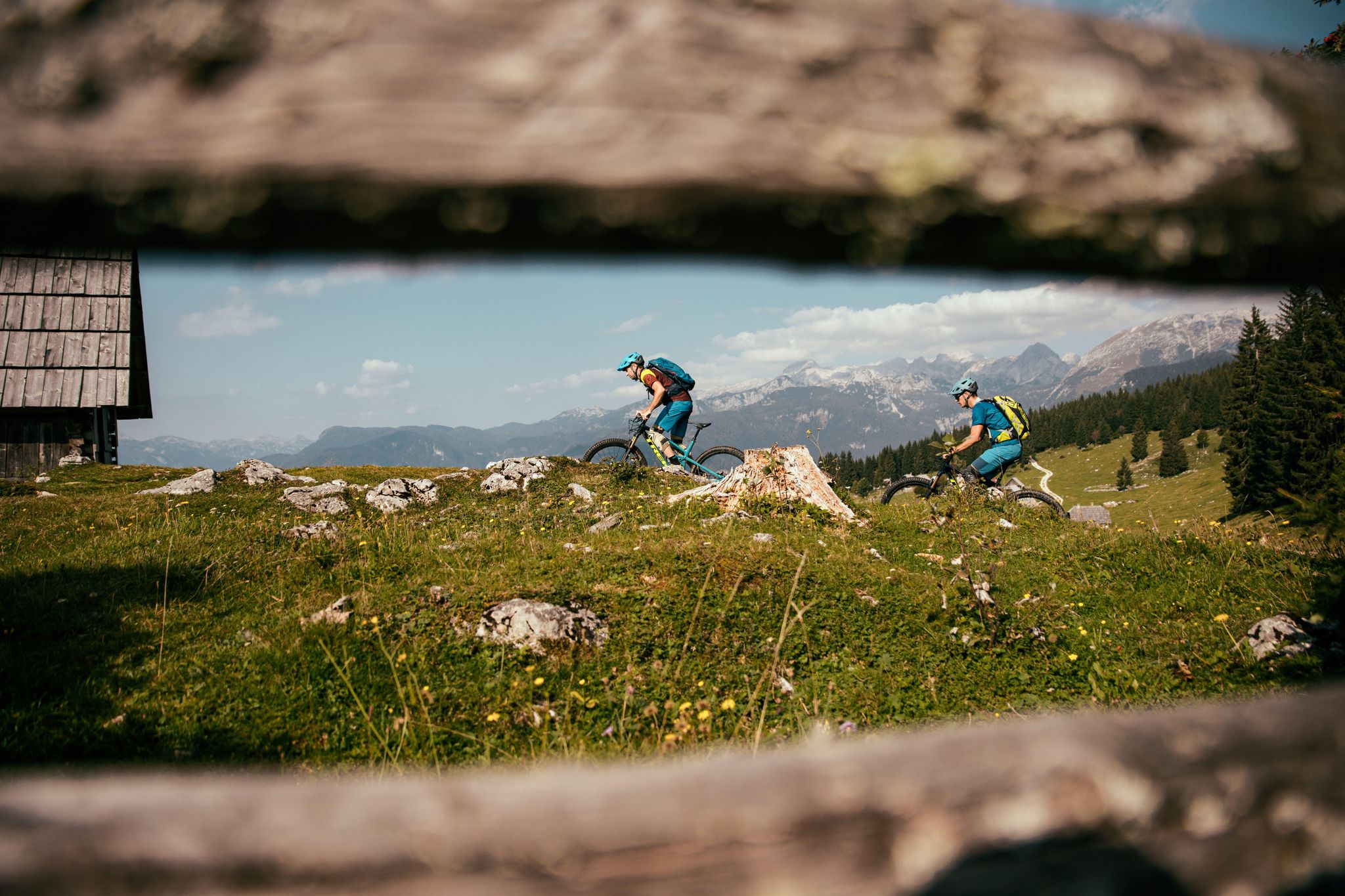
Even when there is snow you can find Moutainbikers here.
0
0


The Mariborsko Pohorje Ski Resort is the biggest in Slovenia. Here, there's the Hotel Bellevue, luxury holiday apartments and the attractive Church of St Bolfenk. In summer conditions, the forest trails make for excellent hikes, with wonderful views of the surrounding countryside.
1
0


Very good food in the home.
0
0
The view of Hrvatsko Zagorje is fantastic!
0
0
A good place to leave your car and start a tour around Donačka Gora.
0
0
Frequently Asked Questions
How many hiking trails are accessible directly from bus stations around Slovenska Bistrica?
There are over 45 hiking trails around Slovenska Bistrica that you can start directly from a bus station. These routes offer a convenient way to explore the region's diverse landscapes without needing a car.
What are the typical difficulty levels for bus-accessible hikes in this region?
The trails accessible from bus stations around Slovenska Bistrica cater to various fitness levels. You'll find a good mix, with 2 easy routes perfect for a relaxed stroll, 35 moderate routes offering a good challenge, and 9 difficult routes for experienced hikers seeking more demanding ascents.
Are there any family-friendly hiking options accessible by bus?
Yes, the region offers several routes suitable for families. Look for trails with gentler inclines and shorter distances. While specific family-friendly routes aren't named here, the 2 easy routes are a great starting point. The Pohorje mountain range, with its lush forests and meadows, often provides pleasant, less strenuous paths ideal for all ages.
Can I bring my dog on these bus-accessible hiking trails?
Most trails in the Slovenska Bistrica region are dog-friendly, provided your dog is well-behaved and kept on a leash, especially in areas with wildlife or livestock. The diverse terrain, from forest paths to open meadows, offers plenty of enjoyable options for you and your canine companion. Always remember to carry water for your dog and clean up after them.
Are there any circular hiking routes that start and end at a bus station?
Yes, many of the bus-accessible routes are designed as circular loops, allowing you to return to your starting point without needing additional transport. For example, the Hiking loop from Log is a moderate 10.5 km circular route, and the Chapel – Igriše Meadow loop from Rače-Fram offers a 12.4 km moderate circular experience.
What natural attractions can I expect to see along these trails?
The region is rich in natural beauty. You might encounter stunning features like the tranquil Black Lake, often called the 'black pearl of Pohorje', or the impressive Veliki Šumik Waterfall in the protected Lobnica forest. The Boč Summit (978 m) also offers panoramic views and unique flora.
What are some notable viewpoints or landmarks accessible from bus station hikes?
Many trails lead to rewarding viewpoints. The Boč Summit (978 m), for instance, features a lookout tower providing extensive views of eastern Pohorje and beyond. You might also pass by mountain huts like Ruška Mountain Hut or Pesek Hut, which often offer scenic vistas and refreshments.
What do other hikers enjoy most about the bus-accessible trails around Slovenska Bistrica?
The komoot community highly rates these trails, with an average score of 4.49 out of 5 stars from over 1000 ratings. Hikers frequently praise the well-maintained paths, the stunning natural diversity of the Pohorje mountain range, and the convenience of starting directly from public transport stops, making for stress-free outdoor adventures.
Are there any longer, more challenging routes for experienced hikers?
Yes, for those seeking a greater challenge, there are 9 difficult routes available. An example is the Hiking loop from Ruše, an 8.5 km route with significant elevation gain, offering a demanding yet rewarding experience through the varied terrain of the Pohorje. The region also serves as a starting point for sections of the Slovenian Mountain Trail (SPP).
Can I find trails that lead to mountain huts or places to eat?
Absolutely. Several routes incorporate stops at mountain huts, which are perfect for a break and often offer local food and drinks. For example, the Church of Sveti Areh – Ruška Mountain Hut loop from Pesek specifically includes the Ruška Mountain Hut, providing a convenient refreshment stop during your hike.
What is the best time of year to hike these bus-accessible trails?
The Slovenska Bistrica region is beautiful throughout the year, but spring and autumn are particularly popular for hiking due to pleasant temperatures and vibrant foliage. Summer offers lush greenery, though some trails can be busier. Winter hiking is also possible, especially on lower elevation paths, but requires appropriate gear and caution due to snow and ice, particularly in the Pohorje mountains.
Are there any trails that feature waterfalls?
Yes, the region is home to impressive waterfalls. The Veliki Šumik Waterfall, a 24-meter cascade, is a highlight in the protected Lobnica forest. The Bistrica Gorge also features numerous rapids and waterfalls, offering a more rugged hiking experience for those who enjoy dramatic natural water features.
Most popular routes around Slovenska Bistrica
Most popular attractions around Slovenska Bistrica

Get inspired with the komoot mobile app


Explore more
Browse the best Hikes in other regions.
