The best running trails in Macon County
17
runners
3
runs
Jogging in Macon County offers a variety of routes through natural landscapes and park settings. The region features trails that traverse wooded areas, alongside lakes, and through state parks, providing diverse terrain for runners. These paths often include a mix of dirt, gravel, and paved surfaces, with gentle elevation changes suitable for different fitness levels.
Best jogging routes in Macon County
- The most popular jogging route is Weagle Woods loop from Auburn University, a 5.0 miles (8.1 km) trail…
Last updated: May 18, 2026
5.0
(1)
6
runners
9.83km
01:01
70m
70m
Moderate run. Good fitness required. Mostly paved surfaces. Suitable for all skill levels.
5
runners
12.9km
01:35
100m
100m
Moderate run. Good fitness required. Mostly paved surfaces. Suitable for all skill levels.

Sign up for free
3
runners
19.7km
02:09
170m
170m
Hard run. Very good fitness required. Mostly paved surfaces. Suitable for all skill levels.
2
runners
11.8km
01:15
80m
80m
Moderate run. Good fitness required. Mostly paved surfaces. Suitable for all skill levels.
2
runners
3.25km
00:20
20m
20m
Easy run. Great for any fitness level. Mostly paved surfaces. Suitable for all skill levels.
Our route recommendations are based on thousands of hikes, rides, and runs completed by other people on komoot.
Start today with a free account
Your next adventure awaits.
Login or Signup
Popular around Macon County



Tips from the Community

You have to pay $4 to get into the public park. All of the riding I did was on the West side of the lake. Komoot had a hard time keeping up with where I was exactly due to the fact that it seems the trail path has changed occasionally. But it was my first time here so 🤷🏿♂️. I rode the first week of Feb in 2025 and almost all of the trail was completely covered with a blanket of pine needles so lateral grip was infrequent. The trails had few markings but once in a while I would come across a spaghetti map posted though they did not always say exactly where I was. I gave up trying to figure it out and just had fun. I saw around 8 deer on my ride. The bridges I encountered were all great but the wooden advanced features seemed sketchy. Slippery algae, missing boards (sometimes 2 in a row so a big hole). I’d scout on foot before riding them for sure.
0
0

This is an interesting museum inside a modernist building with changing exhibition galleries, a café, store, and extensive grounds featuring landscaped walking paths adorned with sculptures. Admission to the museum is free, so it is worth a stop if you have time for a break.
0
0

The gardens, small lake and building are a calming sight as you ride on by. There are often events and different exhibitions so it's worth making time to go back without your bike to look around.
0
0

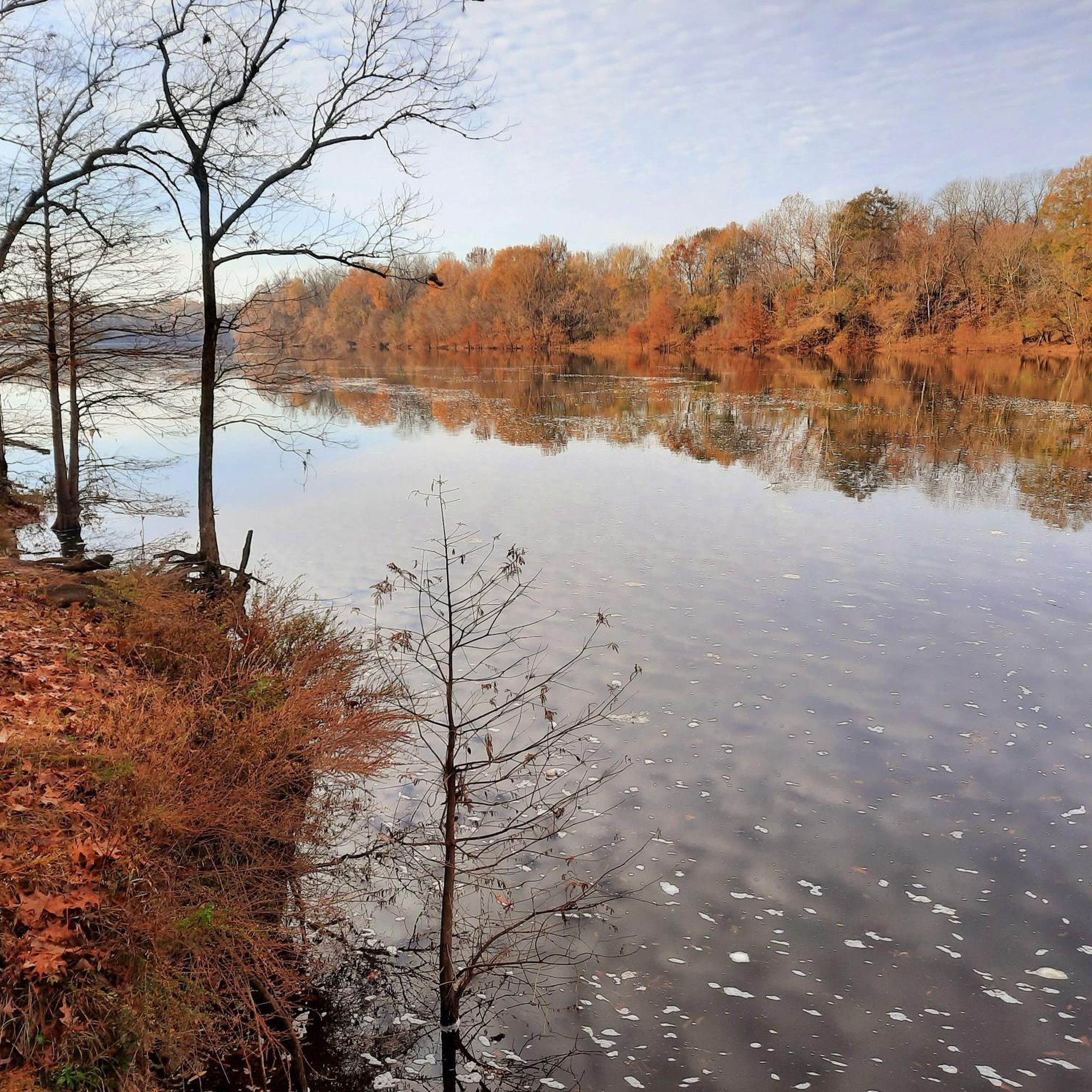
Chewacla Lake is a freshwater lake within the State Park of the same name in Alabama. It is surrounded by lush greenery and provides a picturesque setting for outdoor activities such as fishing, hiking and biking.
1
0

Chewacla State Park has a 26-acre lake, a picnic area and many options for hiking and biking. There are covered rest areas, so it is a great place for a break to escape the heat.
1
0
Frequently Asked Questions
What kind of terrain can I expect on jogging routes in Macon County?
The running routes in Macon County, particularly around areas like Chewacla State Park and Auburn University, offer a mix of surfaces. You'll find trails that traverse natural landscapes, likely including dirt paths and potentially some gravel, providing a varied experience for runners. For example, the Chewacla Lake loop from Chewacla State Park offers a scenic run through the park's natural environment.
Are there any easy running routes for beginners in Macon County?
Yes, there are options suitable for beginners. For instance, the Weagle Woods loop from Auburn University is classified as an easy route, covering a distance of about 3.25 km (2 miles) with minimal elevation gain, making it a great choice for those new to trail running or looking for a relaxed jog.
Where can I find longer running trails in Macon County?
For those seeking a longer challenge, Macon County offers routes like the Chewacla State Park loop from Auburn Softball Complex. This route spans over 19.6 km (12 miles) and features a significant elevation gain, providing a more demanding and extended running experience.
Are there any loop jogging trails in Macon County?
Many of the popular running paths in Macon County are designed as loops, offering a convenient way to start and end your run at the same point. Examples include the Weagle Woods loop from Auburn University and the Chewacla Lake loop from Chewacla State Park, allowing you to enjoy the scenery without retracing your steps.
What are the elevation gains like on running trails in Macon County?
Elevation gains vary across the routes in Macon County. While some easy routes have minimal climbs, others offer more significant challenges. For example, the Chewacla State Park loop from Auburn Softball Complex features over 167 meters (550 feet) of elevation gain, providing a good workout for runners looking for hills.
Are there running routes near Auburn University?
Yes, several excellent running routes are accessible from Auburn University. The Campus Forest loop from Auburn University is a moderate route of nearly 11.8 km (7.3 miles) that explores the natural areas surrounding the campus, offering a convenient option for students and locals.
Can I find running routes that offer scenic views in Macon County?
While the provided routes focus on natural park and campus settings, the region's diverse landscapes suggest opportunities for scenic runs. Routes through areas like Chewacla State Park, such as the Chewacla Lake loop, are likely to offer pleasant natural vistas, especially around the lake and forested areas.
What is the typical duration for jogging routes in Macon County?
The duration of jogging routes in Macon County varies depending on the length and difficulty. Shorter, easy routes like the Weagle Woods loop can be completed in about 20 minutes, while longer, more challenging trails such as the Chewacla State Park loop might take over 2 hours to complete at a steady jogging pace.
Are there any moderate difficulty running trails in Macon County?
Macon County offers several moderate running trails that provide a good balance of challenge and accessibility. The Weagle Woods loop from Auburn University, at just over 8 km (5 miles), is a great example of a moderate route, suitable for runners looking for a solid workout without extreme difficulty.
What are the best places for running in Macon County?
Based on the available routes, key areas for running in Macon County include Chewacla State Park and the vicinity of Auburn University. These locations offer a variety of trails, from easy loops to more challenging long-distance runs, catering to different preferences and fitness levels.

Get inspired with the komoot mobile app


Explore more
Browse the best Running Trails & Routes in other regions.
