The best walks and hikes around Auburn
4.5
(2)
26
hikers
8
hikes
Hiking around Auburn, California, offers diverse trails through the scenic Sierra Nevada foothills. The region is characterized by rugged canyons, lush oak woodlands, and the prominent American River Canyon, where the North and Middle Forks converge. Hikers can explore paths along river views and through rolling hills, providing varied terrain for outdoor activities. This landscape provides a mix of natural beauty and accessible trails.
Best hiking trails around Auburn
- The most popular hiking route is Deer Rub Trail, a…
Last updated: July 9, 2026
12
hikers
3.54km
00:55
20m
20m
The Kiesel Park Inner Loop provides an easy hiking experience, perfect for a quick outing. You will cover 2.2 miles (3.5 km) with a minimal elevation gain of 70 feet…
2
hikers
4.27km
01:09
50m
60m
Hike the easy 2.7-mile Deer Rub Trail in Chewacla State Park, featuring forests, creek views, and Chewacla Falls.

Sign up for free
1
hikers
2.90km
00:46
30m
20m
The Hart Walking Path is an easy 1.8-mile hike with 94 feet of elevation gain, taking about 46 minutes to complete.
3.85km
01:00
20m
20m
Hike the easy 2.4-mile For Pete's Sake Trail in Chewacla State Park, featuring diverse terrain and a secret swimming hole with a waterfall.
1.31km
00:21
10m
20m
Hike the easy 0.8-mile Louise Kreher Forest Trail in Auburn, Alabama, perfect for a quick nature walk and wildlife spotting.
Get access to more routes and recommendations from other explorers.
Sign up for free
Already have an account?
Our route recommendations are based on thousands of hikes, rides, and runs completed by other people on komoot.
Start today with a free account
Your next adventure awaits.
Login or Signup



Tips from the Community

Just a short walk (45‘) from the trail is this sweet waterfall with a nice spot for a cool dip. It was February when I found it so not swim weather but this summer for sure! The creek continues on and joins with the larger stream just below. Lots of large flat rocks and shallow water to dip your feet in and cool off
0
0

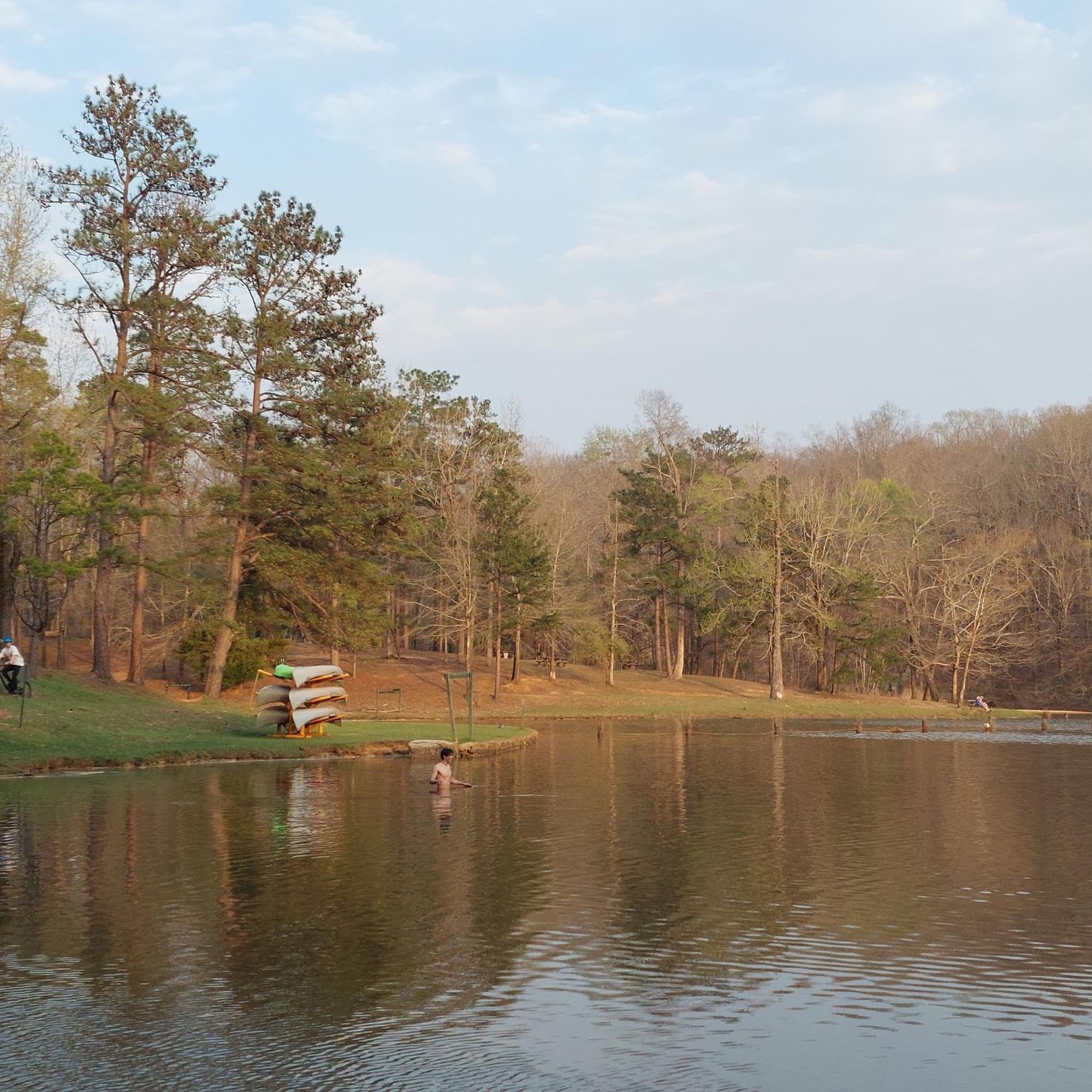
Chewacla State Park has a 26-acre lake, a picnic area and many options for hiking and biking. There are covered rest areas, so it is a great place for a break to escape the heat.
1
0
Frequently Asked Questions
How many hiking trails are there around Auburn?
Our guide features 7 easy hiking routes around Auburn. These trails offer a great way to explore the diverse landscapes of the Sierra Nevada foothills, from serene oak woodlands to scenic river views.
Are there easy hikes suitable for families or beginners in Auburn?
Yes, Auburn offers several easy trails perfect for families and beginners. You can enjoy gentle walks like the Kiesel Park Inner Loop, which is just over 3.5 km, or the Louise Kreher Forest Trail, a shorter option at around 1.3 km. These routes are generally flat and wind through pleasant natural settings.
Can I bring my dog on the hiking trails in Auburn?
Many trails in the Auburn area are dog-friendly, but regulations can vary by park or specific trail. For instance, Auburn State Recreation Area generally allows dogs on leash. Always check local signage or park websites before heading out to ensure your furry friend is welcome.
Are there any trails with waterfalls near Auburn?
Absolutely! Auburn is home to beautiful waterfalls. Hidden Falls Regional Park, a short drive from Auburn, features the tranquil Hidden Falls. Another impressive sight is the cascading water at the Lake Clementine Dam, which can be reached via a rewarding hike along the North Fork American River.
What are some scenic spots or attractions to see while hiking in Auburn?
Auburn's trails offer stunning natural beauty. You can explore the dramatic American River Canyon, enjoy panoramic views along the North and Middle Forks of the American River, or wander through peaceful oak woodlands. The confluence of the North and Middle Forks is a particularly breathtaking spot. Historic mining remnants can also be found along many paths, adding a touch of history to your hike.
Are there any longer or more challenging hikes in the Auburn area?
While our current guide focuses on easy routes, the Auburn State Recreation Area (ASRA) offers over 100 miles of trails, including more challenging options. Trails like the Training Hill Trail are known for their steep elevation gain and rewarding expansive views, catering to those seeking a more strenuous adventure.
What is the best time of year to hike in Auburn, California?
The Sierra Nevada foothills around Auburn offer pleasant hiking conditions for much of the year. Spring brings wildflowers and mild temperatures, while fall offers cooler weather and beautiful foliage. Summers can be hot, so early morning or late afternoon hikes are recommended. Winter hiking is also possible, though some higher elevation trails might be affected by weather.
Are there any circular hiking routes in Auburn?
Yes, many trails in Auburn are designed as loops, providing a varied experience without retracing your steps. The Kiesel Park Inner Loop is a great example of a circular route, offering a complete tour of the park's inner section.
What do other hikers enjoy most about hiking in Auburn?
The trails around Auburn are highly rated by the komoot community, with an average score of 4.0 stars. Hikers often praise the diverse scenery, from river views to oak woodlands, and the accessibility of trails for various skill levels. The natural beauty and peaceful atmosphere are frequently highlighted.
Is public transport available to reach trailheads in Auburn?
While Auburn has some local public transport options, many trailheads, especially those within the Auburn State Recreation Area or Hidden Falls Regional Park, are best accessed by car. It's advisable to check specific trailhead locations and local transit schedules if you plan to rely on public transport.
Where can I find parking for hiking trails in Auburn?
Most popular trailheads in and around Auburn, particularly within the Auburn State Recreation Area and Hidden Falls Regional Park, offer designated parking areas. Some parks may require a day-use fee. It's always a good idea to arrive early, especially on weekends, as parking lots can fill up quickly.
Most popular attractions around Auburn

Get inspired with the komoot mobile app


Explore more
Browse the best Hikes in other regions.
