The best walks and hikes around Hornachos
5.0
(4)
56
hikers
13
hikes
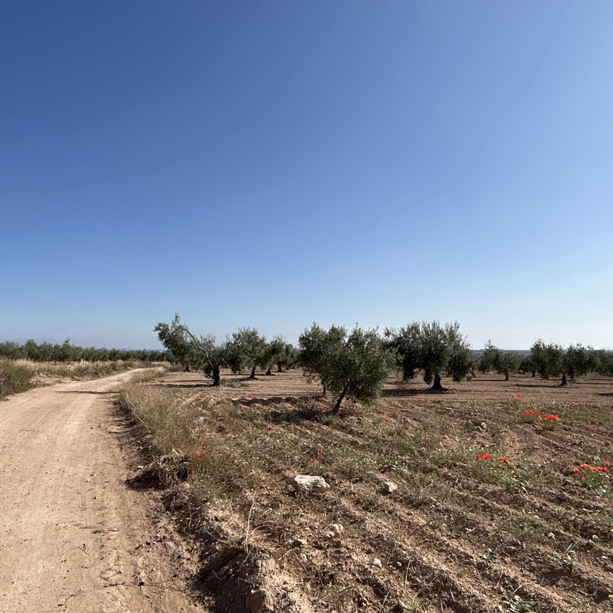
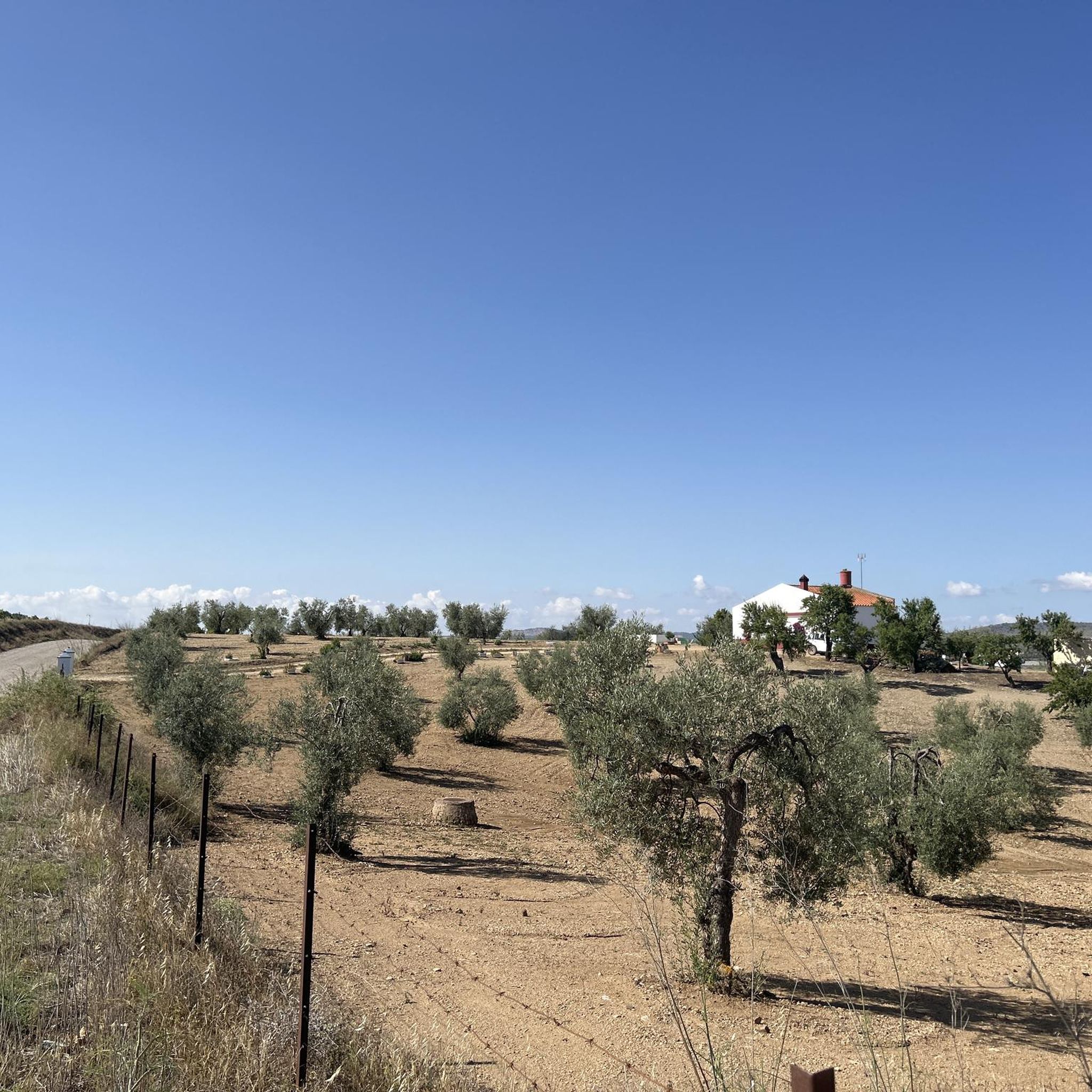
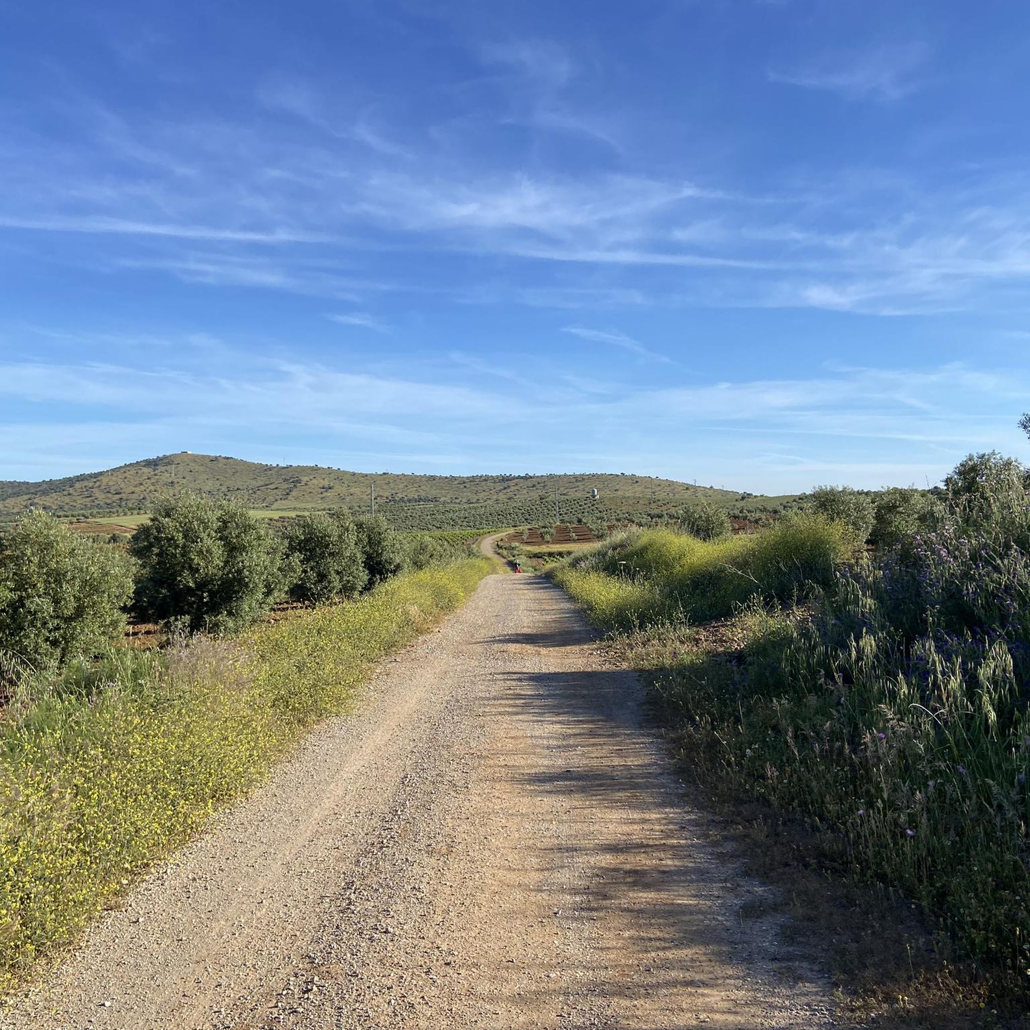
Hiking around Hornachos offers diverse landscapes within the province of Badajoz, Extremadura, Spain. The region is dominated by the Sierra Grande de Hornachos, a mountainous area rising to 951 meters at Hornachos Hill, characterized by rocky outcrops and dense forests. Dehesa ecosystems with holm oaks and cork oaks are prevalent, alongside Mediterranean vegetation and quartzite rock formations. The area also features the Palomillas and Matachel rivers, and the Los Molinos reservoir.
Best hiking trails in Hornachos
- The most popular hiking…
Last updated: July 3, 2026
5.0
(1)
11
hikers
8.55km
02:42
350m
350m
Moderate hike. Good fitness required. Easily-accessible paths. Suitable for all skill levels.
2
hikers
15.8km
05:03
660m
660m
Hard hike. Very good fitness required. Easily-accessible paths. Suitable for all skill levels.

Sign up for free
6
hikers
7.41km
02:12
240m
240m
Moderate hike. Good fitness required. Easily-accessible paths. Suitable for all skill levels.
4
hikers
Moderate hike. Good fitness required. Easily-accessible paths. Suitable for all skill levels.
3
hikers
14.9km
04:24
420m
420m
Moderate hike. Good fitness required. Easily-accessible paths. Suitable for all skill levels.
Get access to more routes and recommendations from other explorers.
Sign up for free
Already have an account?
Our route recommendations are based on thousands of hikes, rides, and runs completed by other people on komoot.
Start today with a free account
Your next adventure awaits.
Login or Signup
Tips from the Community

At the foot of the Sierra Grande de Hornachos we will arrive at the town of Hornachos. Its most important monument, the Iglesia de la Purísima Concepción, towers over the city.
1
0
The trails that lead to the Sierra de Hornachos with its steep rocky wall exposed to the passage of time. Upon reaching the plateau are the ruins of the Castle of Hornachos. The views over the surrounding valley are incredible.
1
0

The town of Hornachos rises on the same mountain range that carries the snow up to the highest point, the Iglesia de la Purísima Concepción. From this point you can see the entire population and landscape in the background and above, the castle that bears the same name as the nucleus, on the massif.
0
0
Frequently Asked Questions
How many hiking trails are available in Hornachos?
There are several hiking trails around Hornachos, with komoot listing over 7 routes. These range from easy walks to more challenging ascents, offering diverse experiences within the region's unique landscapes.
Are there easy hiking options for beginners or casual walkers in Hornachos?
Yes, Hornachos offers easy hiking options. For instance, the Puerto de Llerena loop from Llera is an easy route, perfect for those seeking a relaxed walk. Additionally, the 'Camino de las Hachas' is an easy 2 km route mentioned in regional information, suitable for walking or cycling.
What kind of terrain will I encounter on Hornachos hiking trails?
The terrain around Hornachos is diverse, dominated by the Sierra Grande de Hornachos with its rocky outcrops and dense forests. You'll also find characteristic dehesa ecosystems featuring holm oaks and cork oaks, Mediterranean vegetation, and impressive quartzite rock formations. Some trails also traverse areas near the Palomillas and Matachel rivers, and the Los Molinos reservoir.
Are there any family-friendly hiking trails in Hornachos?
For families, the 'Camino de las Hachas' is an excellent choice. This easy 2 km route is suitable for walking or cycling and passes by traditional 'chozos' (huts) and ovens, offering an engaging experience for all ages.
What natural features or wildlife can I expect to see while hiking in Hornachos?
Hornachos is a haven for nature lovers. The Sierra Grande is a designated Zone of Special Protection for Birds (ZEPA), home to over 228 bird species, including large raptors like the Spanish imperial eagle and griffon vultures. You'll also encounter diverse Mediterranean vegetation, dehesa ecosystems, and potentially endemic plant species like Erodium mouretii. The Los Molinos reservoir is a great spot for observing water birds, cranes, and black storks.
Are there any circular hiking routes in Hornachos?
Yes, many routes in Hornachos are circular. Examples include the Castillo de Hornachos loop from Hornachos, a moderate 6.8 km trail, and the more challenging Castillo de Hornachos – Hornachos loop from Hornachos, which is 15.9 km. Another popular option is the Hornachos loop from Hornachos, covering 14.9 km through Mediterranean forests.
What historical or cultural landmarks can I discover along the trails?
While hiking, you can explore significant historical sites. These include the remains of a 9th-century Berber castle on a hilltop, ancient fountains like 'Los Moros' and 'Los Cristianos', and pre-Roman archaeological evidence. The region is also notable for over 150 prehistoric schematic rock art shelters, some of which are accessible for viewing.
What do other hikers enjoy most about hiking in Hornachos?
The area is highly rated by the komoot community, with an average score of 5.0 stars. Reviewers often praise the diverse landscapes, from mountainous terrain to dehesa ecosystems, and the opportunity to explore both natural beauty and historical sites like the Castillo de Hornachos.
Are there any viewpoints or scenic spots along the hiking routes?
Absolutely. The 'Escalones – Fuente de los Moros' route, for example, offers panoramic views of Hornachos town, the Los Molinos reservoir, and the ruins of the Arab castle. The Sierra Grande itself provides numerous elevated points for stunning vistas of the surrounding countryside.
What is the best time of year to go hiking in Hornachos?
Hornachos experiences a Mediterranean climate. Spring and autumn are generally the most pleasant seasons for hiking, offering mild temperatures and vibrant natural scenery. Summers can be very hot, while winters are typically mild, making year-round hiking possible with appropriate preparation.
Is there parking available near the trailheads in Hornachos?
While specific parking areas for each trailhead are not detailed, Hornachos is a rural area, and parking is generally available within or on the outskirts of the town, providing access to the various routes that often start from or near the village.
Can I access Hornachos hiking trails using public transport?
Hornachos is a smaller town in Extremadura. While there may be limited bus services connecting it to larger towns, direct public transport to specific trailheads might be infrequent. It's advisable to check local bus schedules in advance or consider personal transport for greater flexibility.
Are there any moderate or difficult hiking trails for experienced hikers?
Yes, experienced hikers will find challenging routes. The Castillo de Hornachos – Hornachos loop from Hornachos is a difficult 15.9 km path with significant elevation changes, exploring the Sierra Grande de Hornachos. Other moderate trails like the Hornachos loop from Hornachos also offer substantial distances and elevation.
Most popular attractions around Hornachos

Get inspired with the komoot mobile app


Explore more
Browse the best Hikes in other regions.
