The best walks and hikes in Cueva Del Búho
4.4
(9)
55
hikers
5
hikes
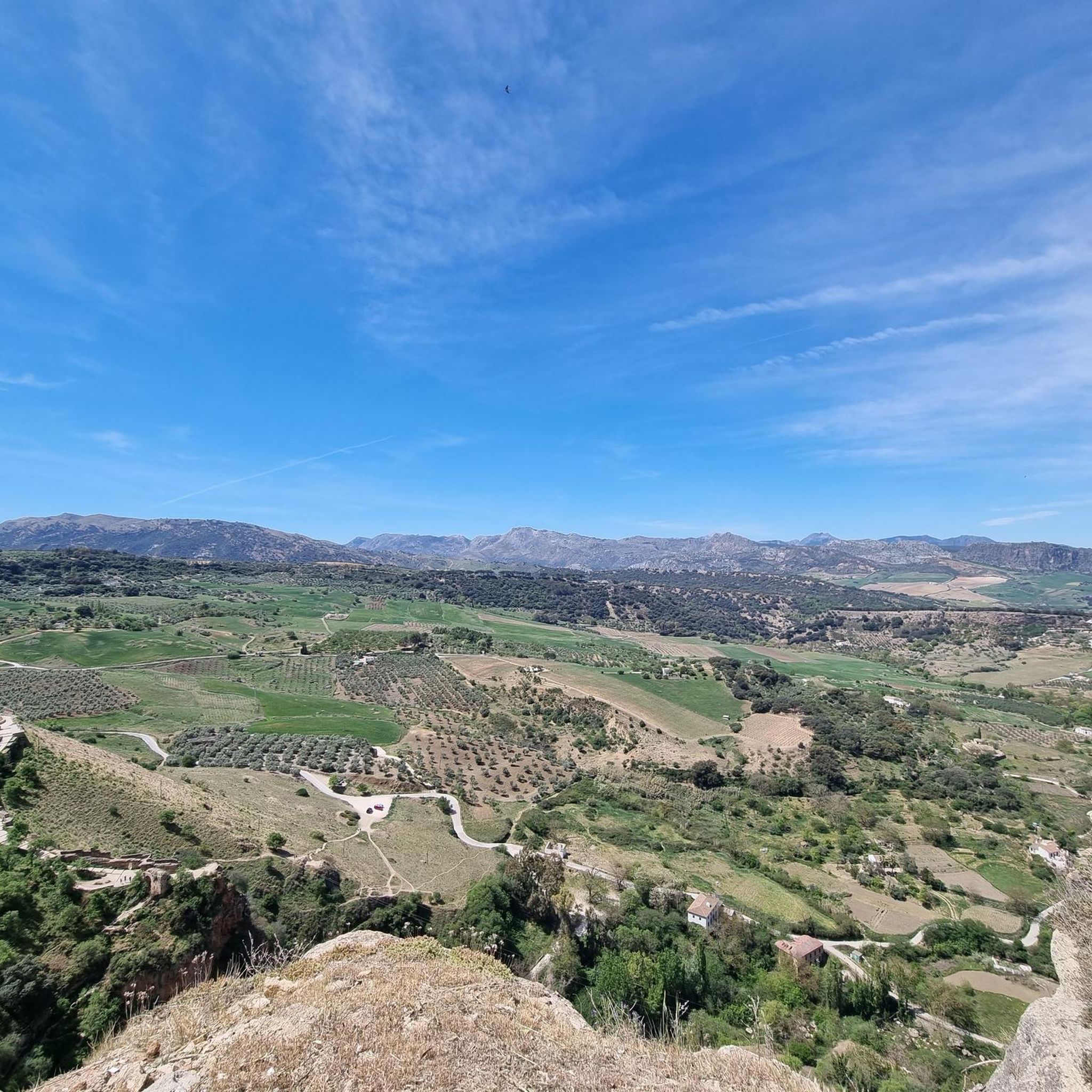
Hiking in Cueva Del Búho offers routes through a landscape characterized by dramatic cliffside formations and views over the gorges of the Mesa River. The region features a limestone escarpment, providing a unique backdrop for outdoor activities. While access to the Cueva Del Búho itself can be challenging, the surrounding area provides a network of trails for exploration. This terrain combines natural beauty with archaeological significance, offering a diverse hiking experience.
Best hiking trails in Cueva Del Búho
- The most…
Last updated: June 30, 2026
5.0
(2)
14
hikers
12.9km
03:42
310m
310m
Moderate hike. Good fitness required. Easily-accessible paths. Suitable for all skill levels.
5.0
(3)
21
hikers
3.90km
01:11
140m
140m
Easy hike. Great for any fitness level. Easily-accessible paths. Suitable for all skill levels.

Sign up for free
5.0
(2)
13
hikers
10.1km
02:52
220m
220m
Moderate hike. Good fitness required. Easily-accessible paths. Suitable for all skill levels.
4.0
(1)
3
hikers
10.3km
02:56
230m
230m
Moderate hike. Good fitness required. Easily-accessible paths. Suitable for all skill levels.
3.0
(1)
4
hikers
6.35km
01:48
140m
140m
Easy hike. Great for any fitness level. Easily-accessible paths. Suitable for all skill levels.
Our route recommendations are based on thousands of hikes, rides, and runs completed by other people on komoot.
Start today with a free account
Your next adventure awaits.
Login or Signup
Tips from the Community


The perfect grid of the urban planning of this town suggests that it is not a very old place. However, this is due to the fact that the roots of this town are found in the site of the Roman city of Iptuci, which already had a similar plan. The site was declared an Asset of Cultural Interest.
2
0
Frequently Asked Questions
How many hiking trails are available in Cueva Del Búho?
There are several hiking routes available in the Cueva Del Búho area, with komoot featuring 5 distinct trails for you to explore.
What kind of terrain can I expect when hiking in Cueva Del Búho?
The terrain around Cueva Del Búho is characterized by dramatic cliffside formations, limestone escarpments, and offers stunning views over the gorges of the Mesa River. You can expect varied terrain with elevation changes, including paths through open landscapes and along steep-sided valleys.
Are there any easy hiking routes suitable for beginners in Cueva Del Búho?
Yes, Cueva Del Búho offers options for less experienced hikers. For example, the Bench With View of the Valley – Prado del Rey loop from Prado del Rey is an easy 2.7-mile (4.3 km) path that provides scenic views without significant difficulty. Another easy option is the La Noria loop from Prado del Rey, which is 4.0 miles (6.4 km) long.
What are some notable natural features or landmarks to look out for on the trails?
The region is defined by its dramatic cliffside location and the gorges of the Mesa River, offering picturesque backdrops. While the Cueva Del Búho itself is a significant archaeological site with Bronze Age artifacts, its access is challenging. The hiking routes in the broader area provide opportunities to experience these unique geological formations and panoramic river views.
What do other hikers enjoy the most about hiking in Cueva Del Búho?
The area is highly rated by the komoot community, with an average score of 4.4 stars. Hikers often praise the unique landscape, characterized by river gorges and limestone escarpments, and the variety of routes available for different ability levels.
Are there any circular hiking routes in Cueva Del Búho?
Yes, many of the routes in Cueva Del Búho are circular, allowing you to start and end at the same point. Examples include the Prado del Rey – La Noria loop from Suryalila and the Bench With View of the Valley – Prado del Rey loop from Prado del Rey.
Is Cueva Del Búho suitable for family hikes?
While access to the Cueva Del Búho itself is physically demanding, the surrounding Jaraba area offers a network of trails. There are easy routes, such as the Bench With View of the Valley – Prado del Rey loop from Prado del Rey, which are shorter and offer scenic views, making them more suitable for families.
What is the best time of year to go hiking in Cueva Del Búho?
Given the region's characteristics, spring and autumn generally offer the most pleasant hiking conditions with milder temperatures. Summers can be hot, especially in open landscapes, while winters might bring cooler weather, though the area typically remains accessible.
Are there any permits required for hiking in Cueva Del Búho?
There is no general permit required for hiking on the established trails in the Cueva Del Búho area. However, if you plan to access the Cueva Del Búho itself, which involves a challenging descent, it's advisable to check local regulations or guided tour requirements for safety and preservation.
Are there options for longer, more challenging hikes in the area?
Yes, for those seeking a more extensive experience, routes like the Prado del Rey – La Noria loop from Suryalila offer a moderate challenge. This 8.0-mile (12.9 km) trail features varied terrain and elevation changes, typically taking around 3 hours 40 minutes to complete.
Where can I find parking for the hiking trails in Cueva Del Búho?
The routes often start from locations like Prado del Rey or Suryalila. While specific parking details for each trailhead are best checked on the individual route pages, these villages typically offer parking facilities for visitors accessing the local trails.

Get inspired with the komoot mobile app


Explore more
Browse the best Hikes in other regions.
