The best MTB trails around Villars-Santenoge
4.3
(4)
10
riders
3
rides
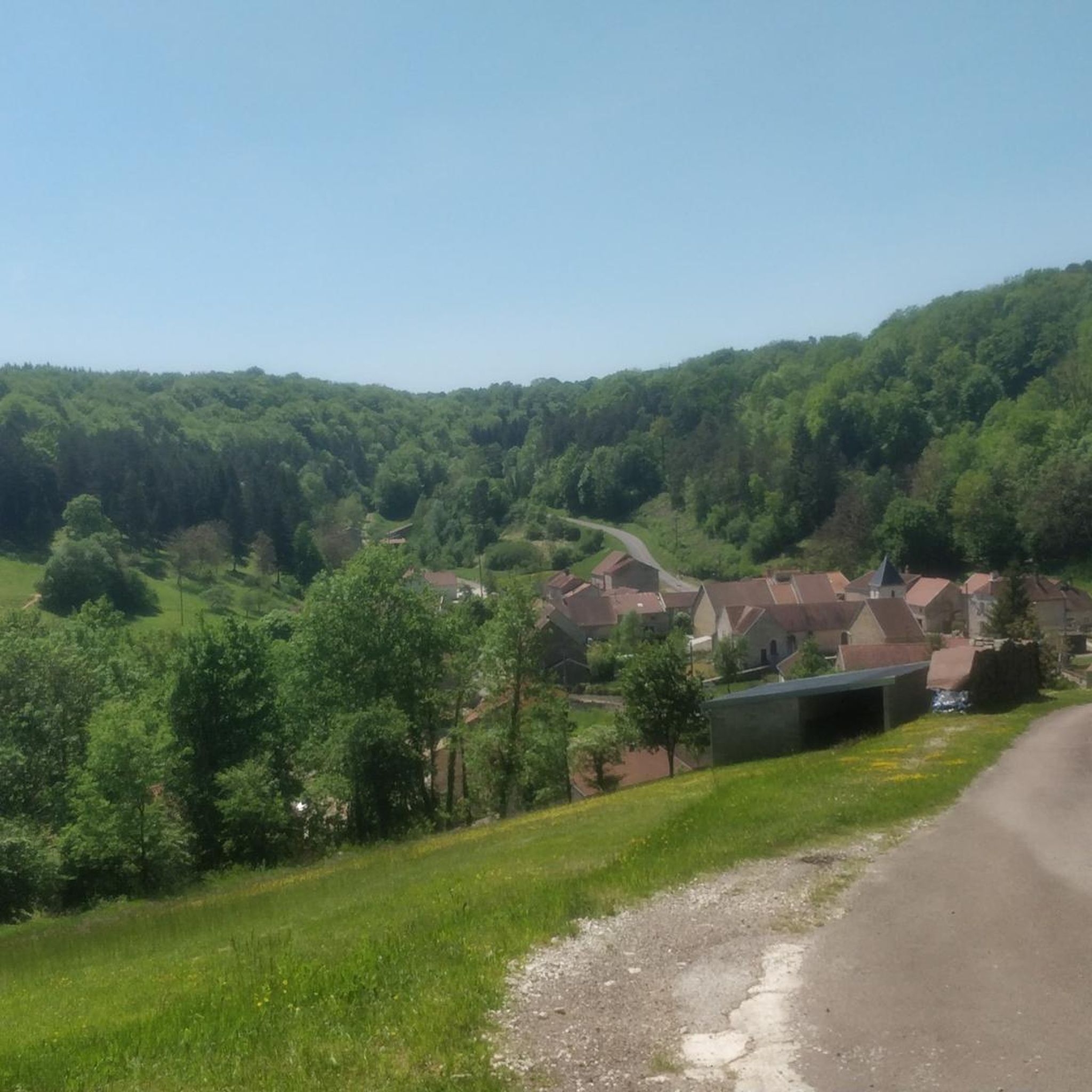
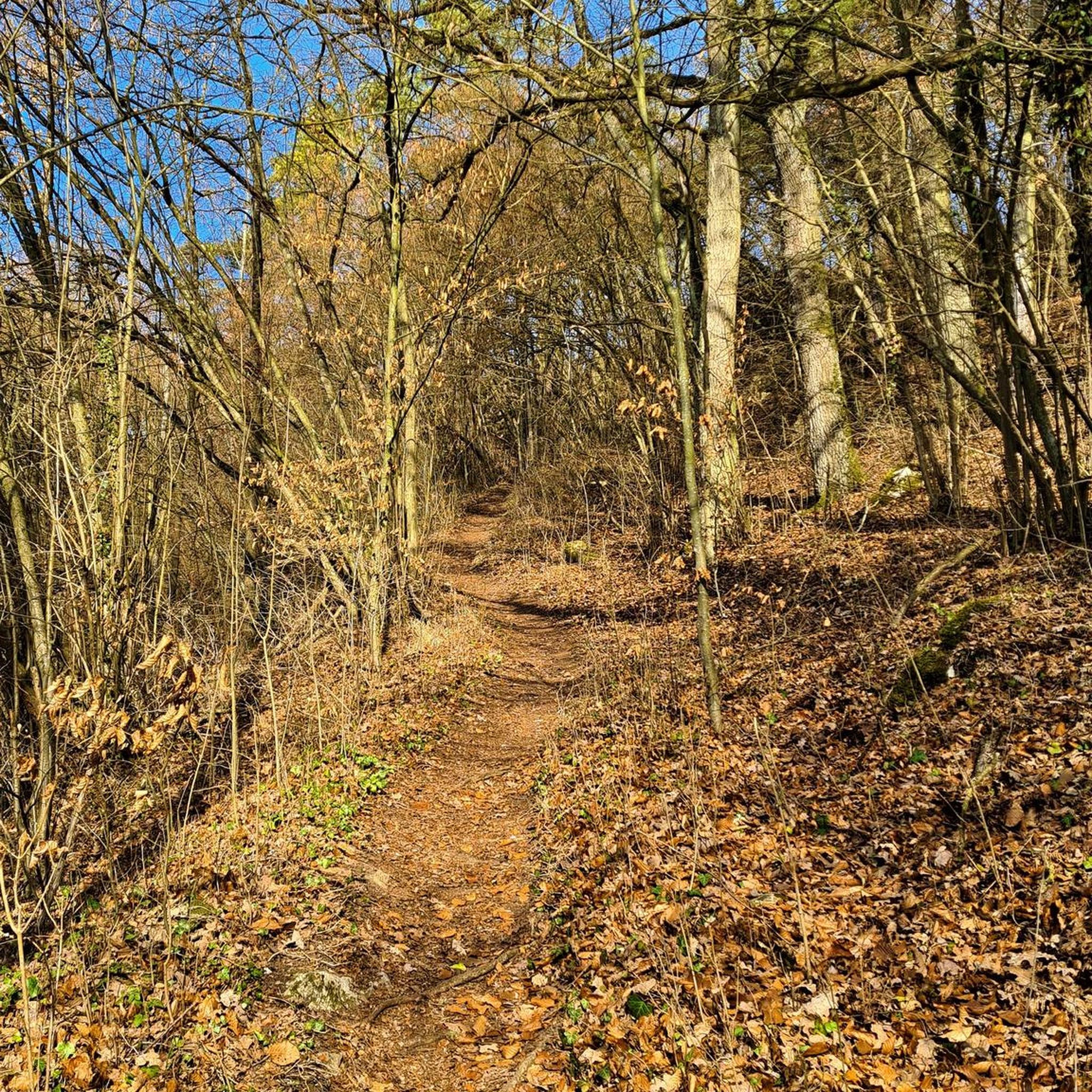
Mountain biking around Villars-Santenoge offers varied terrain within a tranquil setting. The region is characterized by extensive woodlands and green spaces, forming part of the Champagne and Burgundy Forests National Park. This protected area provides a natural environment for mountain biking, with an average altitude ranging from 404 to 423 meters. The landscape features dense forests and unique ecological sites, suitable for exploration on two wheels.
Best mountain bike trails around Villars-Santenoge
- The most popular mountain bike trail is Abbaye…
Last updated: June 27, 2026
4.3
(4)
7
riders
28.9km
02:24
400m
400m
Moderate mountain bike ride. Good fitness required. Suitable for all skill levels.
2
riders
28.8km
02:03
510m
510m
Moderate mountain bike ride. Good fitness required. Suitable for all skill levels.

Sign up for free
1
riders
49.7km
03:04
590m
590m
Moderate mountain bike ride. Good fitness required. Suitable for all skill levels.
Our route recommendations are based on thousands of hikes, rides, and runs completed by other people on komoot.
Start today with a free account
Your next adventure awaits.
Login or Signup
Tips from the Community

A very beautiful little path between a small moat and the stream. Everything looks very idyllic, like something out of a fairytale.
0
0

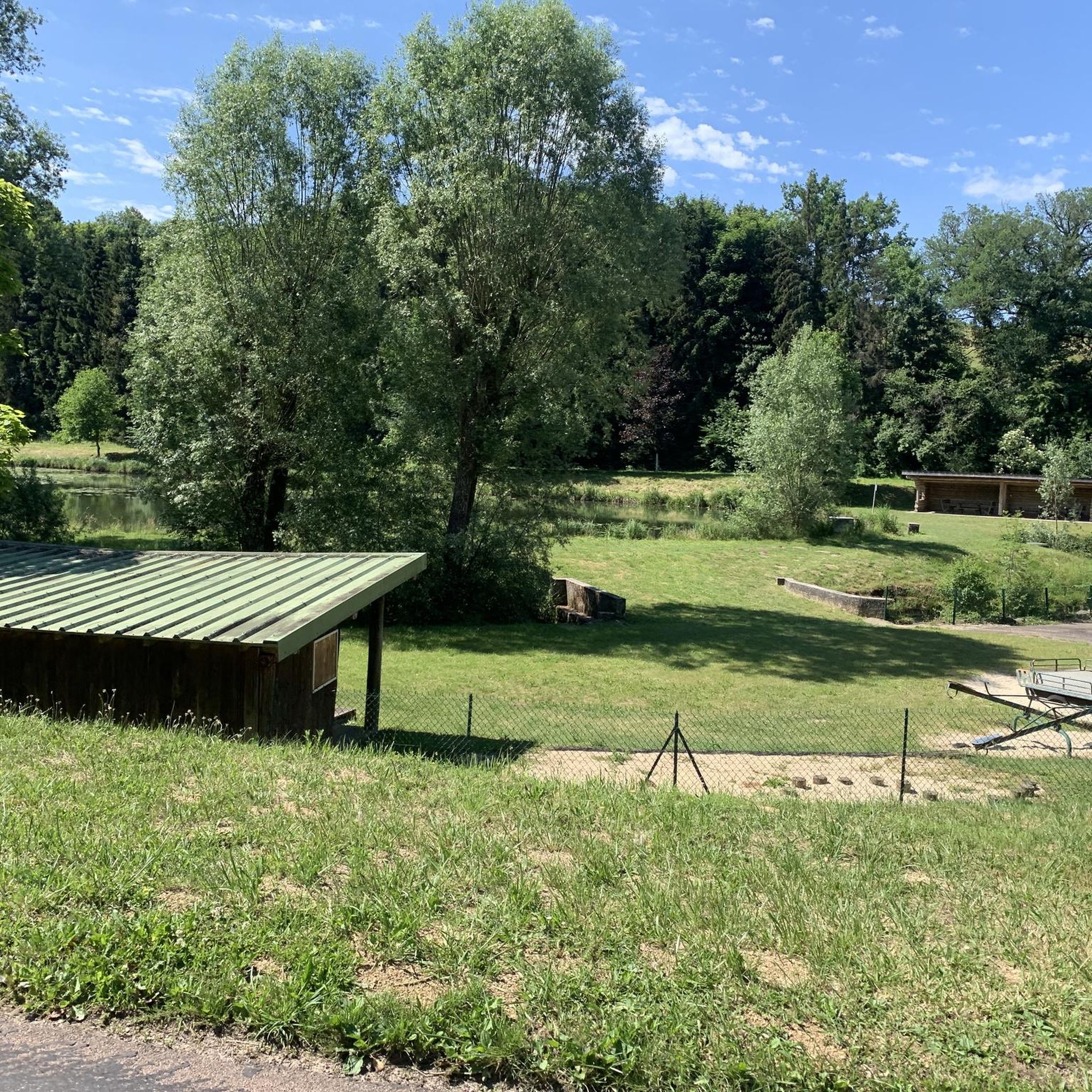
Free access cabin in a clearing above Rouelles. It has four walls and a roof, but is not heated or insulated from the outside air (the openings have no glass). This unusual accommodation was developed by the Auberive Nature Initiation Center, and its restoration was carried out by young people from the EPIDE (Educational Institute for the Study of Nature) in Langres. https://www.bienvenue-hautemarne.fr/sit/rouelles-cabane-nature-de-la-sauvageonne-pnacha052v5003sl/
0
0
A beautiful 18th-century building, boasting a vast park crossed by the Aube River, including a vast pond and an orangery. The castle is located right next to the abbey, but unfortunately it is privately owned and cannot be visited.
0
0

Village with a very beautiful abbey which houses an art collection.
1
0

Auberive Abbey is a 12th century Cistercian abbey located in the heart of the Champagne and Burgundy Forests National Park, a protected area of rich biodiversity. You can explore the abbey's architecture, gardens and orchards, as well as its impressive contemporary art collection which features over 2,000 works by over 300 artists. The abbey also organizes cultural events, workshops and guided tours throughout the year. Whether you are a fan of ancient or modern art, or simply enjoy a peaceful walk in the countryside, Auberive Abbey is a place worth discovering.
4
1
Chameroy is a small village crossed by the Aujon, which has its source a few km upstream (on private land unfortunately).
0
0
The Château de Grancey was built in the 1700s. The Burgundian colored tiles, very typical of the region, do not deceive.
2
0

The abbey is open for historical tours Monday to Friday from 9am to 12.30pm and from 2pm to 5.30pm. / The Contemporary Art Center is closed at this time of year.
2
0
Frequently Asked Questions
How many mountain bike trails are available around Villars-Santenoge?
There are 5 mountain bike trails available around Villars-Santenoge, offering a range of options for different skill levels.
What kind of terrain can I expect on mountain bike trails in Villars-Santenoge?
The terrain around Villars-Santenoge is characterized by extensive woodlands and green spaces, forming part of the Champagne and Burgundy Forests National Park. You can expect varied topography, with average altitudes ranging from 404 to 423 meters, making for diverse riding experiences through dense forests and unique ecological sites.
Are there mountain bike trails suitable for beginners in Villars-Santenoge?
Yes, there is at least one easy mountain bike trail. The Auberive Castle – Abbaye d'Auberive loop from Auberive is an 8.7-mile (14.1 km) path that offers a less strenuous ride through the area's green spaces and past cultural landmarks.
Are there any circular mountain bike routes in the area?
Yes, many of the mountain bike routes around Villars-Santenoge are circular. For example, you can explore the Abbaye d'Auberive – Auberive Abbey loop from Auberive, which is 18.0 miles (28.9 km) long, or the longer Auberive Abbey – Abbaye d'Auberive loop from Perrogney-les-Fontaines, spanning 31.0 miles (49.9 km).
What natural features can I see while mountain biking near Villars-Santenoge?
The region is rich in natural beauty. You can encounter unique sites like La Tufière d'Amorey, known for its distinctive waterfalls and pools, or the Chalmessin Nature Reserve, a protected marsh environment with diverse flora and fauna.
Are there any historical landmarks or cultural sites accessible by mountain bike?
Yes, the area offers several historical and cultural points of interest. The prominent Auberive Abbey, a 12th-century Cistercian abbey, is located within the Champagne and Burgundy Forests National Park and is a key feature on several routes. You might also pass by Grancey-le-Château Castle or The Church of Our Lady of the Assumption in Auberive.
What do other mountain bikers enjoy the most about mountain biking in Villars-Santenoge?
The mountain bike trails in Villars-Santenoge are highly rated by the komoot community, with an average score of 4.7 stars from over 4 reviews. Riders often praise the tranquil setting, the extensive woodlands, and the varied topography that offers options for different ability levels.
What is the best time of year for mountain biking in Villars-Santenoge?
Given the region's extensive woodlands and green spaces, spring and autumn are generally ideal for mountain biking, offering pleasant temperatures and vibrant natural scenery. Summer can also be enjoyable, especially in the shade of the forests, while winter might present more challenging conditions depending on snow and ice.
Are there any long-distance mountain bike routes for experienced riders?
Yes, for experienced riders looking for a longer challenge, the Auberive Abbey – Abbaye d'Auberive loop from Perrogney-les-Fontaines is a substantial 31.0-mile (49.9 km) route leading through dense woodlands and varied topography, typically completed in about 3 hours 6 minutes.
Are there any mountain bike trails that offer significant elevation gain?
While the region's average altitude is around 404 to 423 meters, some routes do offer notable elevation changes. For instance, the Saint Germain church loop from Grancey-le-Château-Neuvelle includes an elevation gain of approximately 519 meters, providing a more challenging ride.
Can I find mountain bike routes that explore the Champagne and Burgundy Forests National Park?
Absolutely. The mountain bike trails around Villars-Santenoge are situated within the Champagne and Burgundy Forests National Park, allowing you to explore this protected area. Routes like the Abbaye d'Auberive – Auberive Abbey loop from Auberive directly explore the forested surroundings of the historic Auberive Abbey, which is located within the park.
Most popular attractions around Villars-Santenoge

Get inspired with the komoot mobile app


Explore more
Browse the best MTB trails in other regions.
