Top 3 Mountain Passes around Olevano Sul Tusciano
Best mountain passes around Olevano Sul Tusciano are found within the Monti Picentini Park, an area characterized by diverse terrain and significant elevation changes. The region offers a network of elevated routes that provide scenic vistas and opportunities to explore both natural beauty and historical sites. These routes cater to various skill levels, from moderate trails to more challenging climbs.
Best mountain passes around Olevano Sul Tusciano
- The most popular mountain passes is Le Croci di Acerno, a mountain…
Last updated: July 4, 2026
Le Croci di Acerno
Highlight • Mountain Pass
Translated by Google •
Tip by

Porta di Monte Accellica (1,250 m)
Highlight • Mountain Pass
My friend Alessandro, an expert on the mountain, told me that from this point begins "l'Accellica" and you notice it, especially in summer, with a significant change in temperature and wind.
Translated by Google •
Tip by

Sign up now to discover places like this
Get recommendations on the best single tracks, peaks, & plenty of other exciting outdoor places.
Sign up for free
Pettinessa Pass
Highlight • Mountain Pass
lit.wikipedia.org/wiki/Monte_Accellica
Translated by Google •
Tip by
Sunrise Over the Alburni Mountains
Highlight • Viewpoint
Translated by Google •
Tip by

View of Monti Alburni
Highlight • Viewpoint
Translated by Google •
Tip by
Start today with a free account
Your next adventure awaits.
Login or Signup

Tips from the Community

The Monti Alburni are an imposing limestone mountain massif located in the northern part of the Cilento, Vallo di Diano and Alburni National Park, in the province of Salerno. Historically defined as the "Dolomites of the South" due to their spectacular and white rocky walls, they take their name from the Latin term albus (white). The main peak is Monte Panormo (also known as Monte Alburno), which stands at 1,742 meters above sea level.
0
0
The sunrise over the Monti Alburni (in the Cilento National Park) offers a unique chromatic spectacle that illuminates the extensive beech forests and the rocky walls of the massif. Admiring the sun emerging from the ridge provides an immersive experience in nature.
1
0

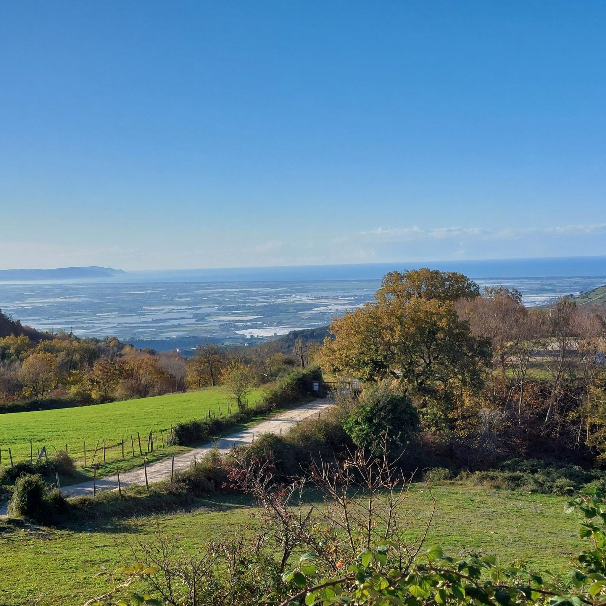
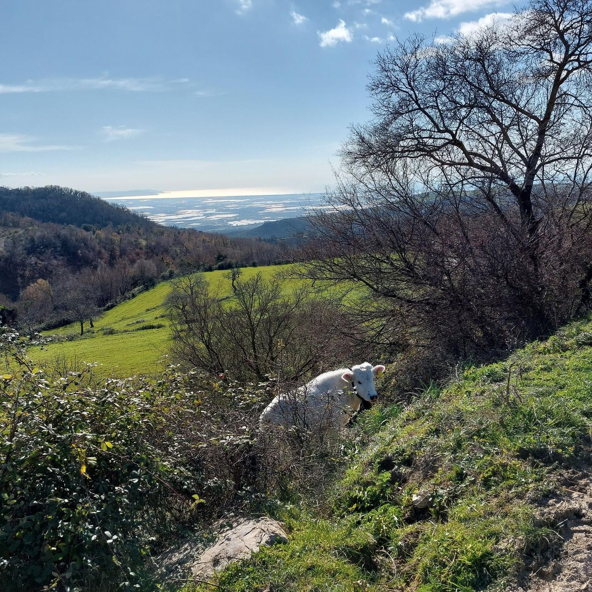
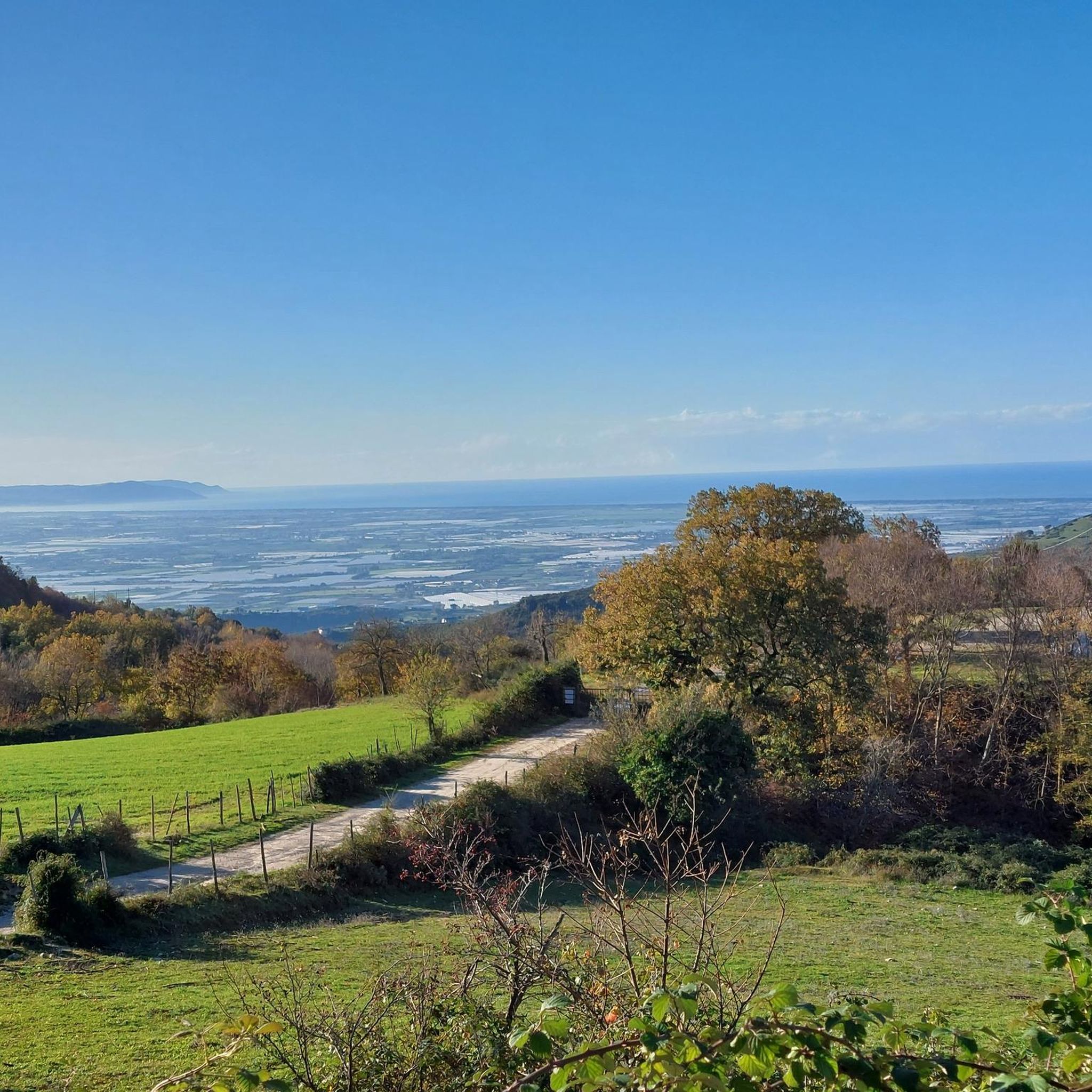
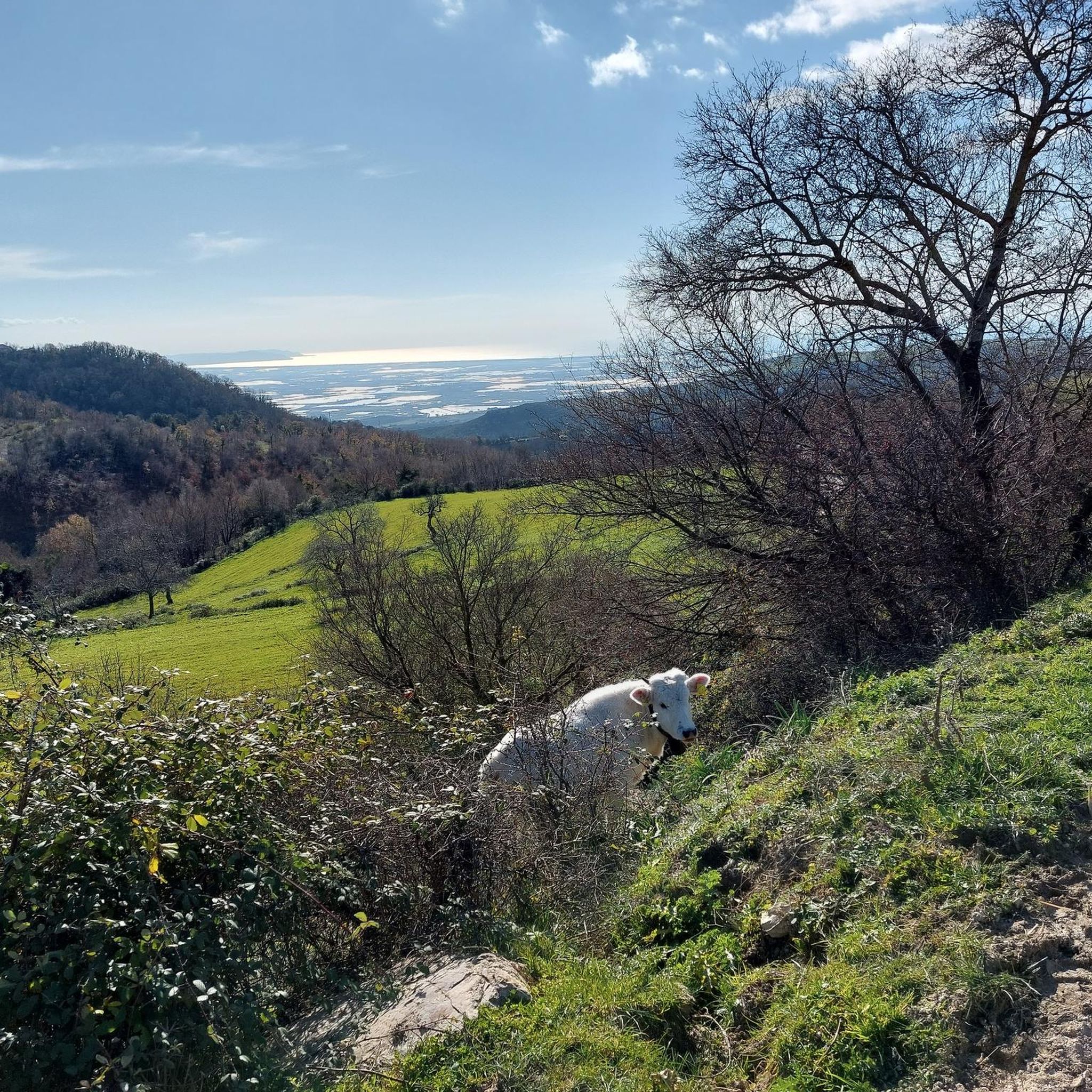
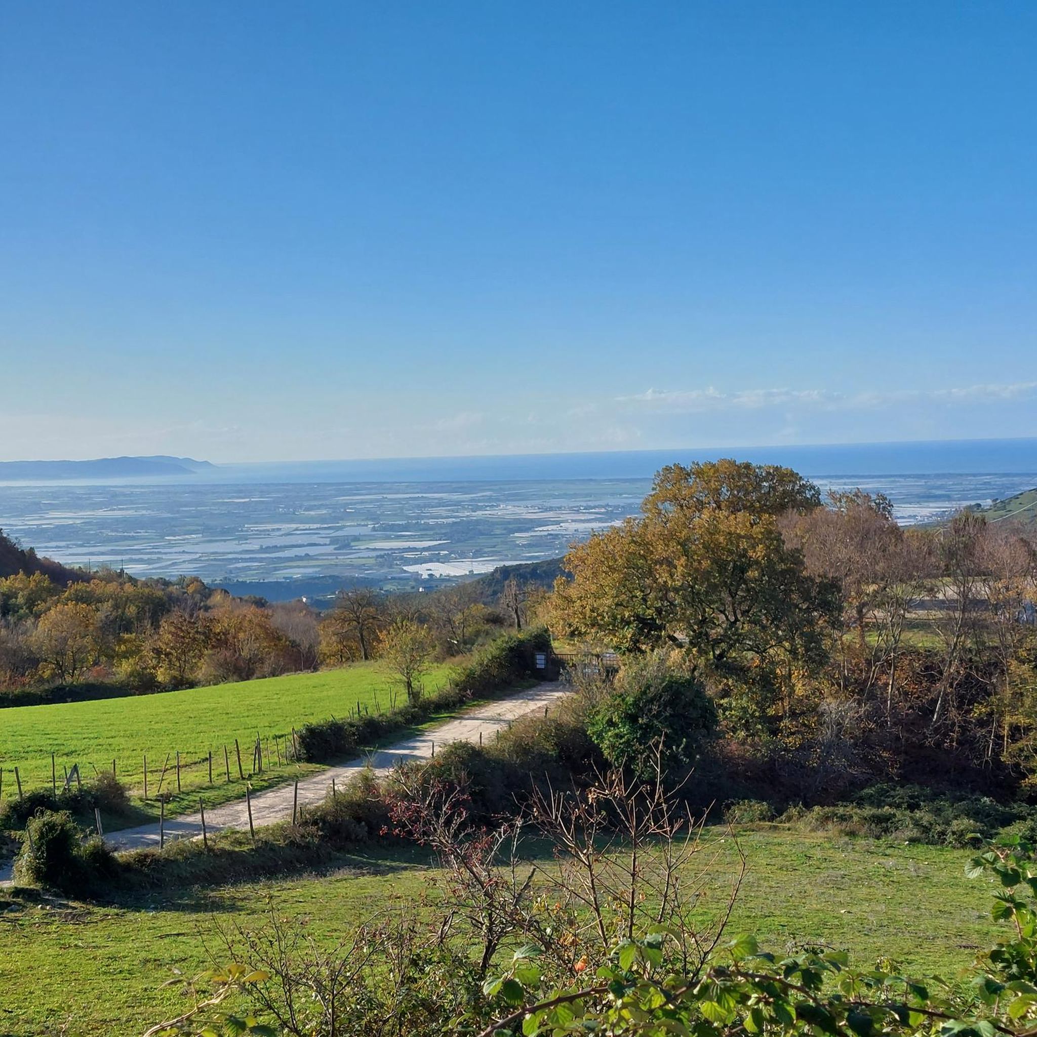
Beautiful landscape along the SS 91 towards the Alburni Mountains.
14
0
A beautiful view of the Alburni Mountains along the SS 91 that passes through the municipality of Campagna in the province of Salerno.
11
0

This is the Porta di monte Accellica (1250 m). My friend Alessandro, an expert on the mountain, told me that from this point begins "l'Accellica" and you notice it, especially in summer, with a significant change in temperature and wind.
2
0
Going up the Accellica sud you pass through the Varco dela Pettinessa. lhttps://it.wikipedia.org/wiki/Monte_Accellica
3
0

The pass of the Croci di Acerno marks the border between the provinces of Salerno and that of Avellino. At an altitude of 840 meters, several paths start from here within the Regional Park of the Picentini Mountains.
2
0
Wonderful sunrise on the Alburni mountains.
28
0
Frequently Asked Questions
What are some notable mountain passes or elevated routes to explore near Olevano sul Tusciano?
While Olevano sul Tusciano is more known for its extensive network of hiking and mountain biking trails within the Monti Picentini Park, there are several elevated points and passes offering significant views and challenging ascents. Notable spots include Le Croci di Acerno, which marks the border between the provinces of Salerno and Avellino, and Porta di Monte Accellica (1,250 m), known for its distinct temperature and wind changes. Another significant point is the Pettinessa Pass, located along the ascent of Accellica sud.
What kind of natural scenery can I expect to see along these routes?
The routes around Olevano sul Tusciano offer diverse natural beauty, from the lush valley of the Tusciano River to the extensive forests of the Monti Picentini Regional Park. You can expect panoramic views, especially from elevated points like Sunrise Over the Alburni Mountains, which offers a unique chromatic spectacle over the beech forests and rocky walls of the Alburni massif. Another excellent spot for vistas is the View of Monti Alburni along the SS 91.
Are there any historical or cultural sites accessible from these mountain passes?
Yes, many excursions in the Olevano sul Tusciano area blend natural exploration with historical discovery. Trails frequently pass by significant monuments such as the Convent of Santa Maria di Costantinopoli (16th century) and the ancient "Castrum Olibani" (Olevano Castle), a fortified village from the 6th-7th centuries. The 'Grotta di S. Michele' (St. Michael's Cave), with its Byzantine iconography, is another notable historical site found on the slopes of Mount Raione, enriching the trekking experience.
Are there hiking trails associated with these mountain passes?
Absolutely. The region is rich in hiking opportunities, particularly within the Monti Picentini Park. Popular routes include "Lungo il fiume Tusciano – anello da Ariano nel Parco Regionale dei Monti Picentini," a moderate 12.7 km loop, and the more strenuous "Da Ariano lungo il Tusciano seguendo il CAI 110 – giro ad anello nel parco dei Monti Piacentini," a 20.8 km route with significant elevation gain. For more hiking options, explore the mountain passes guide.
What other outdoor activities are available near the mountain passes?
Beyond hiking, the area around Olevano sul Tusciano offers excellent opportunities for cycling. You can find various options for traffic-free bike rides, road cycling routes, and gravel biking. These routes often incorporate scenic views and varied terrain, catering to different skill levels.
Are there options for mountain biking?
Yes, the Olevano sul Tusciano area is well-suited for mountain biking. Routes like "I monumenti di Olevano sul Tusciano – giro ad anello" offer a moderate 13.2-kilometer ride combining historical exploration with elevation changes. Another favorite is the "Bridge over the Tusciano River – Ponticelli Singletrack loop from Battipaglia," a longer 45.4-kilometer trail featuring varied terrain and singletracks.
What is the best time of year to visit the mountain passes around Olevano sul Tusciano?
The best time to visit is generally during spring and autumn when the weather is mild and pleasant for outdoor activities. Summer can be warm, especially at lower elevations, but higher passes like Porta di Monte Accellica offer a noticeable change in temperature and wind, making them more comfortable. Winter can bring colder temperatures and potentially snow at higher altitudes, which might limit access to some trails.
What are the difficulty levels of the routes around Olevano sul Tusciano?
The routes vary in difficulty, catering to different skill levels. You can find moderate hikes like the 12.7 km loop along the Tusciano River, which requires good fitness but has easily navigable paths. More strenuous options, such as the 20.8 km loop following CAI 110 in Monti Picentini Park, involve significant elevation gains and are suitable for experienced hikers. Mountain biking routes also range from moderate to difficult.
Are there family-friendly options for exploring the area?
Yes, while some routes are more challenging, there are family-friendly options available. The general appeal of the Tusciano River valley and parts of the Monti Picentini Park includes paths suitable for various skill levels. The View of Monti Alburni is also noted as family-friendly, offering beautiful landscapes without extreme difficulty.
Can I bring my dog on the trails near these mountain passes?
Many trails within the Monti Picentini Regional Park are dog-friendly, allowing you to explore the natural beauty with your canine companion. However, it's always advisable to check specific trail regulations or local signage for any restrictions, especially concerning protected areas or wildlife.
Are permits required to access the trails or mountain passes?
Generally, permits are not required for accessing the public trails and mountain passes within the Monti Picentini Regional Park. However, it's always a good practice to check for any specific regulations or temporary restrictions, especially if you plan to visit sensitive ecological areas or engage in organized events.
Where can I find parking for trailheads?
Parking is typically available near the starting points of popular trails and in the villages surrounding the Monti Picentini Park, such as Ariano. Specific parking information can often be found on local tourism websites or detailed trail maps for individual routes.
Most popular routes around Olevano Sul Tusciano
Most popular attractions around Olevano Sul Tusciano

Get inspired with the komoot mobile app


Explore more
See even more epic mountain passes by checking out these guides around Olevano Sul Tusciano:
