
The best running trails around Höhnhart
4.4
(54)
2,360
runners
240
runs
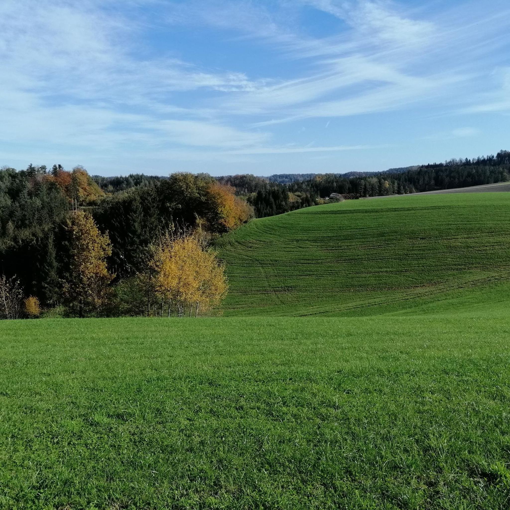
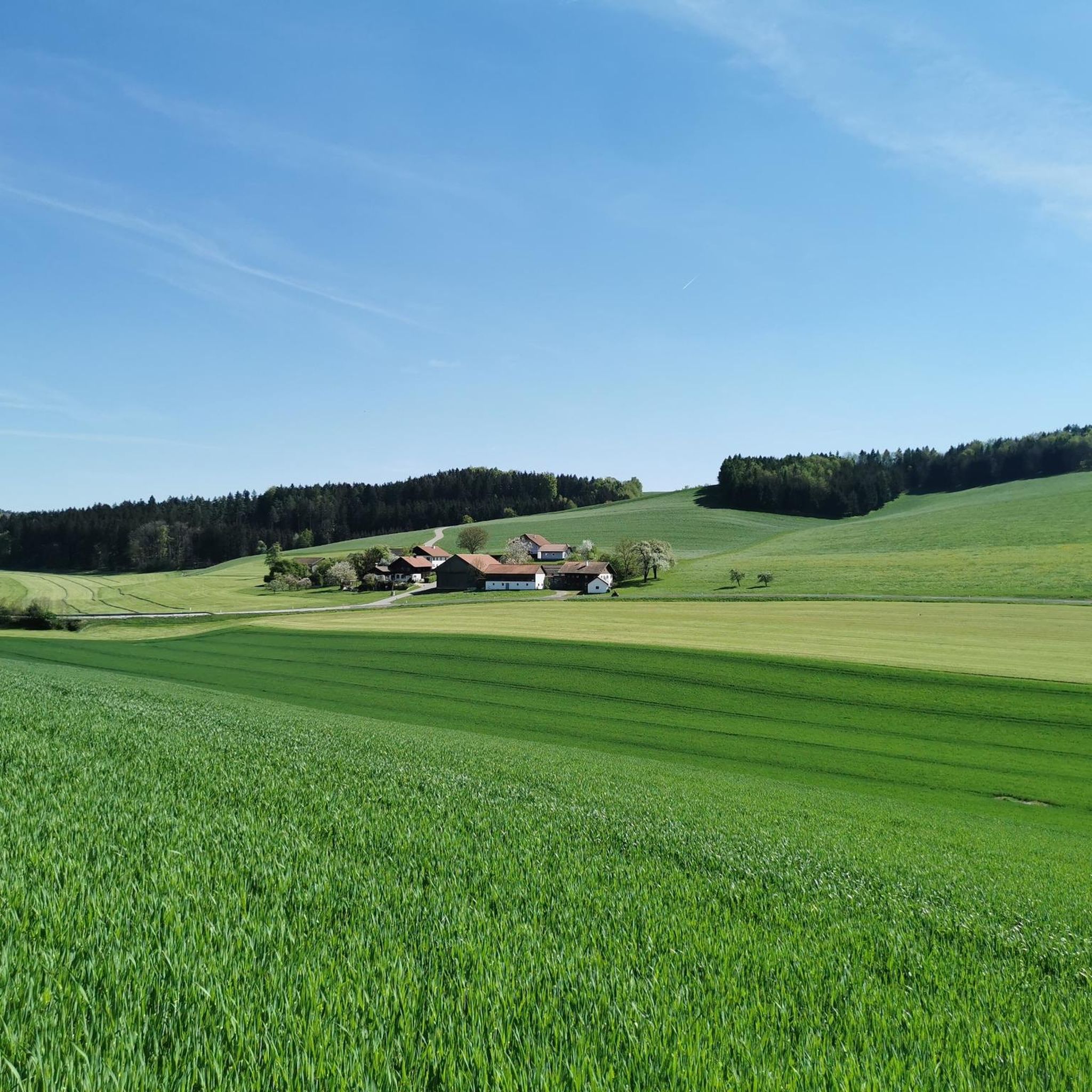
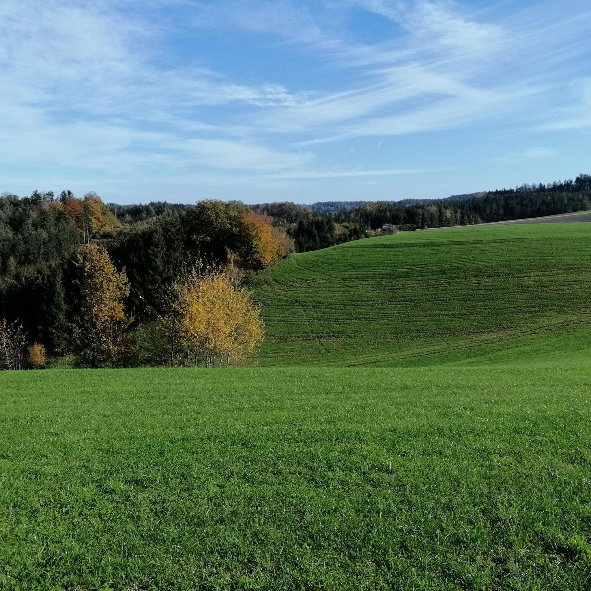
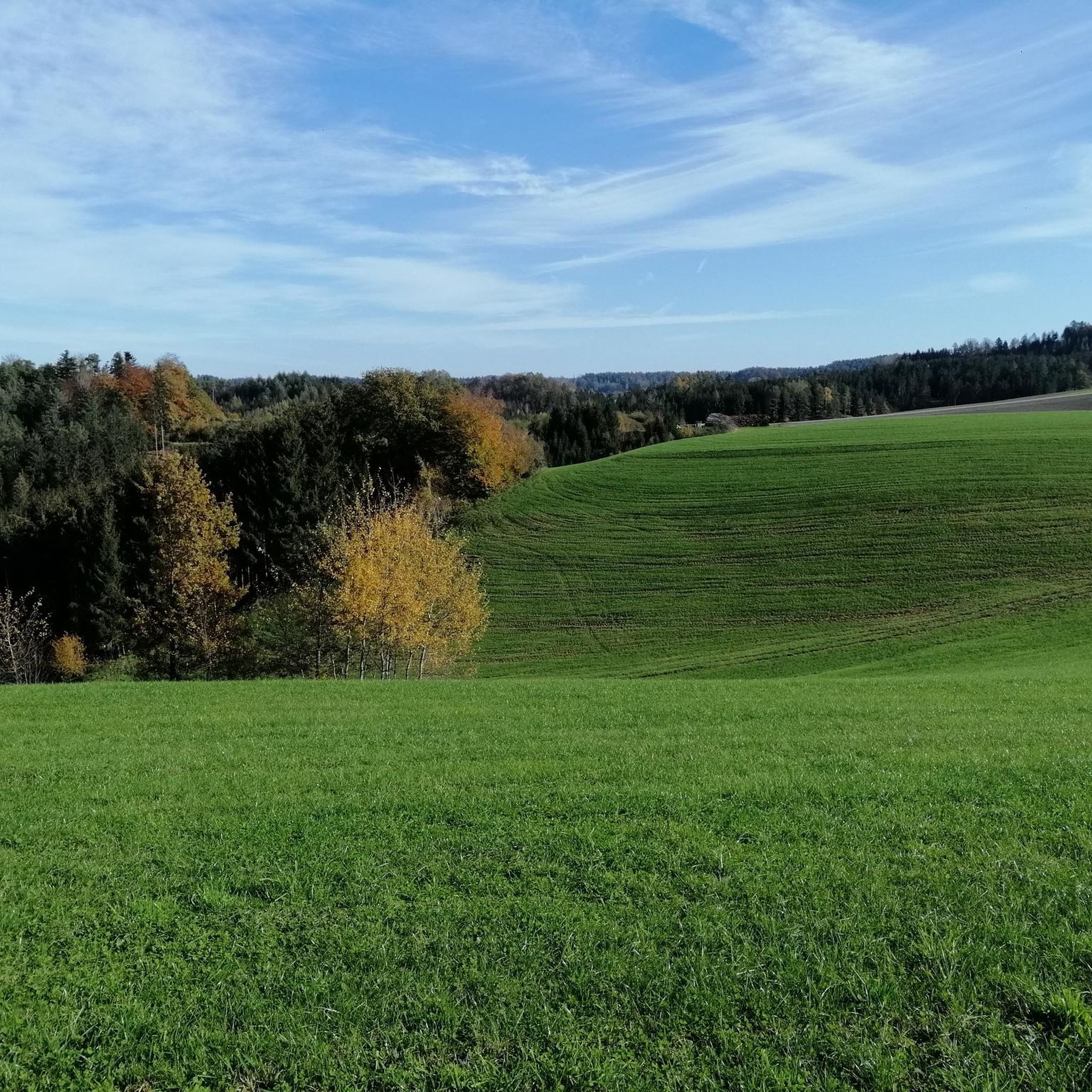
Jogging around Höhnhart offers access to a diverse landscape within the Innviertel region, characterized by picturesque fields, open meadows, and sections of the Kobernaußerwald forest. The area is part of the "Bewegungsarena Innviertel," a comprehensive network of routes designed for various outdoor activities, including running. This network provides well-developed and clearly marked trails suitable for different fitness levels. The terrain generally features moderate elevation changes, making it accessible for a wide range of runners.
Best jogging routes around Höhnhart
- The most popular jogging route is Running loop from Unteraichberg, a 4.5 miles (7.3 km) trail that takes 45 minutes 57 seconds to complete. This moderate route features gentle elevation gains through the local countryside.
- Another top favourite among local runners is Running loop from Höhnhart, a moderate 4.4 miles (7.1 km) path. This route offers a balanced running experience with varied scenery and manageable ascents.
- Local runners also love the Schloss Wildenau loop from Höhnhart, a 10.9 miles (17.6 km) trail leading through varied landscapes, often completed in about 1 hour 52 minutes.
- Jogging around Höhnhart is defined by open fields, tranquil meadows, and sections of the Kobernaußerwald forest. The network offers options for different ability levels, from easy loops to more challenging routes with greater elevation.
- The routes in Höhnhart are highly rated by the komoot community with an average score of 4.3 stars from over 50 reviews. More than 2000 runners have used komoot to explore Höhnhart's varied terrain.
Last updated: May 20, 2026
9
runners
7.31km
00:46
80m
80m
Moderate run. Good fitness required. Mostly paved surfaces. Suitable for all skill levels.
6
runners
7.06km
00:44
70m
70m
Moderate run. Good fitness required. Mostly paved surfaces. Suitable for all skill levels.
4
runners
17.6km
01:52
190m
190m
Hard run. Very good fitness required. Mostly paved surfaces. Suitable for all skill levels.
Get access to more routes and recommendations from other explorers.
Sign up for free
Already have an account?
Our route recommendations are based on thousands of hikes, rides, and runs completed by other people on komoot.
Start today with a free account
Your next adventure awaits.
Login or Signup

Frequently Asked Questions
How many running routes are available around Höhnhart?
Höhnhart offers a comprehensive network of over 200 running routes. These trails are part of the "Bewegungsarena Innviertel," providing a wide range of options for different fitness levels and preferences.
What kind of terrain can I expect on the running trails in Höhnhart?
The running trails in Höhnhart traverse a diverse landscape, featuring picturesque fields, open meadows, and sections of the Kobernaußerwald forest. You'll find varied terrain with generally moderate elevation changes, making for an engaging running experience.
Are there easy running routes suitable for beginners in Höhnhart?
Yes, Höhnhart provides several easy running routes perfect for beginners or those looking for a more relaxed pace. Out of over 200 routes, 32 are classified as easy, offering gentle paths through the scenic countryside.
What are some scenic highlights or viewpoints along the jogging routes?
Many routes offer scenic views. For instance, the "Herbstheimtour" leads past the Ortwasser-Hochbehälter, providing splendid panoramic views. You'll also find picturesque fields, meadows, and forest sections throughout the area. For specific natural beauty, consider visiting the Wildenau Lake or the Hochkuchlberg Summit Cross.
Are there any interesting landmarks or attractions near the running trails?
Yes, Höhnhart has several unique attractions. The "Drei Tannentour" passes one of Europe's most modern ski jumping facilities for young athletes, which can be visited by appointment. You might also encounter historical sites like the Pilgrimage Church Maria Schmolln or the Schlosskirche Uttendorf.
Where can I start my run, and is parking available?
A convenient starting point for many trails, including the "Drei Tannentour," "Herbstheimtour," and "Flugschanzentour," is located in the town center, in front of the Höhnhart municipal office. Parking is generally available in the town center, making it easy to access the routes.
What do other runners enjoy most about jogging in Höhnhart?
The running routes in Höhnhart are highly rated by the komoot community, with an average score of 4.3 stars from over 50 reviews. Runners often praise the diverse landscape, well-maintained paths, and the variety of routes suitable for different abilities, from tranquil forest paths to open field runs.
Are there any circular running routes in Höhnhart?
Yes, many of the running routes in Höhnhart are designed as circular loops, offering a convenient way to explore the area without retracing your steps. For example, the Running loop from Unteraichberg is a popular circular option.
Can I find refreshments or places to relax after a run?
Absolutely! The "Flugschanzentour" offers a pleasant opportunity to conclude your run at the Mostschänke Schmiedbauer, a traditional cider tavern. This provides a cultural and culinary experience amidst nature, perfect for relaxing after your activity.
What is the best time of year for running in Höhnhart?
Höhnhart is enjoyable for running throughout much of the year. The varied landscapes of fields, meadows, and forests offer different charms in each season. Spring and autumn provide pleasant temperatures and vibrant scenery, while summer is great for early morning or late evening runs. Even winter can be beautiful, though some trails might require appropriate gear depending on snow conditions.
Are there longer, more challenging running routes for experienced runners?
Yes, for those seeking a greater challenge, Höhnhart offers more difficult routes with significant elevation gains. For instance, the Schloss Wildenau loop from Höhnhart is a longer, more demanding trail covering 17.6 km with substantial ascents, ideal for experienced runners.
Is Höhnhart part of a larger trail network?
Yes, Höhnhart is integrated into the "Bewegungsarena Innviertel," a comprehensive system of routes spanning 700 kilometers across the wider region. This network offers extensive options for running, hiking, and Nordic walking, connecting various natural areas like the Kobernaußerwald forest.
Most popular attractions around Höhnhart

Get inspired with the komoot mobile app


Explore more
Browse the best Running Trails & Routes in other regions.
