The best walks and hikes around Gardnerville Ranchos
17
hikers
4
hikes
Hiking around Gardnerville Ranchos offers diverse trails at the foot of the Sierra Nevada mountains, blending high-desert terrain with pine forests and sagebrush-covered hills. The region provides views of the Sierra Nevada and the Carson Valley. Trails often traverse wooded areas and run alongside creeks, offering varied scenery and ecological experiences. This guide features 4 hiking trails, including 3 easy and 1 moderate route.
Best hiking trails around Gardnerville Ranchos
- The most popular hiking route is Martin Slough Trail,…
Last updated: May 11, 2026
3.56km
00:54
0m
10m
Easy hike. Great for any fitness level. Easily-accessible paths. Suitable for all skill levels.
5.03km
01:27
130m
130m
Easy hike. Great for any fitness level. Easily-accessible paths. Suitable for all skill levels.

Sign up for free
13.4km
03:51
340m
340m
Moderate hike. Good fitness required. Easily-accessible paths. Suitable for all skill levels.
10
hikers
6.00km
01:34
50m
50m
Easy hike. Great for any fitness level. Easily-accessible paths. Suitable for all skill levels.
7
hikers
5.00km
01:28
140m
140m
Easy hike. Great for any fitness level. Easily-accessible paths. Suitable for all skill levels.
Our route recommendations are based on thousands of hikes, rides, and runs completed by other people on komoot.
Start today with a free account
Your next adventure awaits.
Login or Signup
Popular around Gardnerville Ranchos
Tips from the Community

Genoa – the oldest town in Nevada. Mormo Station and oldest saloon, as well as the Court House Museum
0
0

Good overlook of the Carson river gorge and the disused dam directly from the dirt road, and a little better from the singletrack trail running along the cliffs.
1
0


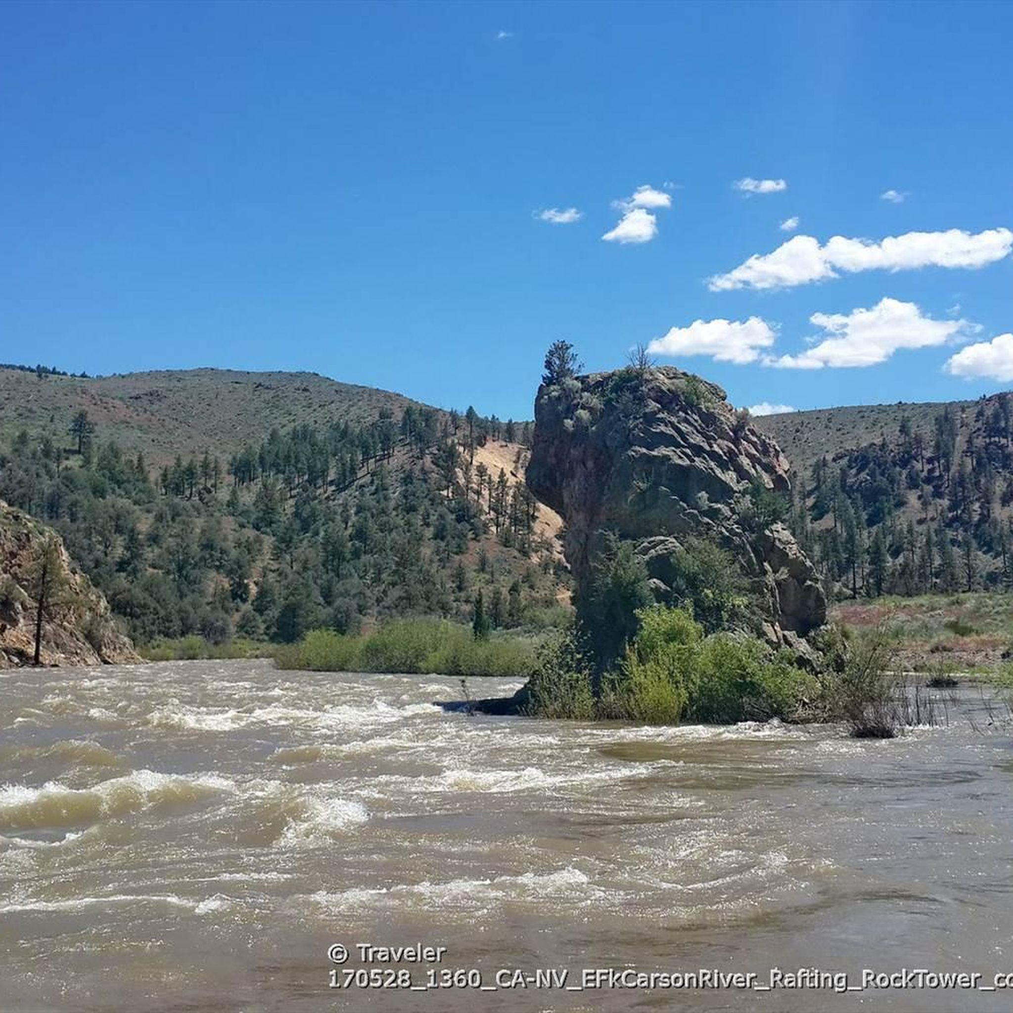
This is a pretty scenic dead end of the trail as you can enjoy a decent view into the gorge of Carson River – during summer you can also see a lot of rafters on the river. You can find a toilet here as well.
0
0

East Fork Carson River is 61 miles long and has its source in Sierra Nevada, at Sonora peak. This place is popular for rafting lovers; the landscape is truly awesome.
0
0
If you're a flora enthusthiast, this is your place. Especially nice in spring, when you can see all the different colors mixing with meadows.
0
0
At the dead end of the gravel road is a trailhead parking with restroom and access to the river, where in spring rafters and kayakers can be observed exiting the river before it reaches the barrage.
2
0
Frequently Asked Questions
How many hiking trails are available around Gardnerville Ranchos?
You'll find a selection of hiking trails around Gardnerville Ranchos. Our guide currently features 4 distinct routes, ranging from easy strolls to more moderate adventures, allowing you to explore the diverse landscapes of the Carson Valley.
Are there easy hiking trails suitable for beginners or families in Gardnerville Ranchos?
Yes, Gardnerville Ranchos offers several easy trails perfect for beginners and families. The Martin Slough Trail is a particularly good option, being a paved 2.2-mile path that follows the Martin Slough, offering wildlife viewing opportunities near Gilman Pond and views of the Carson mountain range. Another accessible option is the Genoa loop from River Fork Ranch Preserve.
What are the best times of year to go hiking in Gardnerville Ranchos?
Hiking in Gardnerville Ranchos is enjoyable across multiple seasons due to its diverse terrain. Spring brings wildflowers, while fall offers vibrant colors, especially in areas with pine forests. The region's high-desert and sagebrush hills can be pleasant in cooler months, but always be prepared for varying conditions, especially closer to the Sierra Nevada mountains.
Are there any circular hiking routes in the Gardnerville Ranchos area?
Yes, you can find circular routes for a convenient hiking experience. For example, the Genoa loop from River Fork Ranch Preserve offers a pleasant circular hike. Additionally, the extensive Fay-Luther/Jobs Peak Ranch Trail System provides many interconnected paths that can be combined to create various loop options through sagebrush hills and wooded areas.
Which trails offer the best scenic views of the Sierra Nevada and Carson Valley?
Many trails in Gardnerville Ranchos boast stunning vistas. The Fay-Luther/Jobs Peak Ranch Trail System is renowned for its views of the Carson Valley and the Sierra Nevada mountains. The Pinyon Trail, located east of Gardnerville, also provides continuous views of the Pine Nut and Carson Ranges.
Can I bring my dog on the hiking trails in Gardnerville Ranchos?
Many trails in the Gardnerville Ranchos area are dog-friendly, but it's always best to check specific trail regulations before you go. Generally, dogs are welcome on leash, especially on trails like the Martin Slough Trail and within the broader Fay-Luther/Jobs Peak Ranch Trail System. Always ensure your dog is under control and pack out any waste.
Are there any notable natural features or attractions to see along the hiking routes?
Absolutely! The region is rich in natural beauty. Along the East Fork Carson River via Washoe Road route, you'll encounter the beautiful East Fork Carson River itself. The Martin Slough Trail offers opportunities for wildlife viewing, particularly near Gilman Pond. The area also provides access to stunning Sierra Nevada landscapes and is a short drive from Lake Tahoe, where you can find highlights like Star Lake and various viewpoints along the Tahoe Rim Trail.
What is the typical length and duration of hikes in Gardnerville Ranchos?
Hikes in Gardnerville Ranchos vary in length and duration to suit different preferences. You can find shorter, easy walks like the Martin Slough Trail, which is about 3.5 km (2.2 miles) and takes around 50 minutes. For a more extended adventure, the Fay-Luther/Jobs Peak Ranch Trail System offers a moderate 13.3 km (8.3 miles) route that can take over 3 hours to complete.
Are there any trails known for wildflowers in Gardnerville Ranchos?
Yes, during spring and early summer, certain areas around Gardnerville Ranchos come alive with wildflowers. The Wildflowers loop from Fay-Luther Trail Head is specifically named for this beautiful seasonal display, offering a delightful experience for nature lovers.
What kind of terrain can I expect on hikes in Gardnerville Ranchos?
The terrain around Gardnerville Ranchos is quite varied, blending high-desert landscapes with pine forests and sagebrush-covered hills. You can expect trails to traverse wooded areas, follow alongside creeks, and offer open views across the Carson Valley. Some paths, like the Martin Slough Trail, are paved, while others, such as the Fay-Luther/Jobs Peak Ranch Trail System, involve natural dirt paths with gentle climbs.
Where can I find information about parking for trailheads in Gardnerville Ranchos?
Parking availability varies by trailhead. For popular areas like the Fay-Luther/Jobs Peak Ranch Trail System, designated parking lots are typically available. For routes like the Martin Slough Trail, you can often find parking near its connection points in downtown Minden or Gardnerville. Always check specific route details or local signage for the most accurate parking information.
Most popular routes around Gardnerville Ranchos
Most popular attractions around Gardnerville Ranchos

Get inspired with the komoot mobile app


Explore more
Browse the best Hikes in other regions.
