The best walks and hikes around Santa Elisabetta
4.1
(19)
118
hikers
5
hikes
Hiking around Santa Elisabetta, located in Sicily's Sicani Mountains, offers diverse trails through a hilly landscape. The region is characterized by its blend of historical sites, archaeological areas, and natural features, including the arid Sicilian hinterland. Hikers can explore areas with ancient caves, archaeological strongholds, and views connecting the hills to the coast. The terrain varies from gentle paths to more challenging ascents, providing a range of outdoor experiences.
Best hiking trails around Santa Elisabetta
- The most popular hiking route…
Last updated: October 13, 2026
3.3
(12)
83
hikers
Hard hike. Very good fitness required. Mostly accessible paths. Sure-footedness required.
4.5
(4)
17
hikers
24.5km
07:21
790m
780m
Hard hike. Very good fitness required. Easily-accessible paths. Suitable for all skill levels.

4.0
(1)
7
hikers
Moderate hike. Good fitness required. Easily-accessible paths. Suitable for all skill levels.
5
hikers
18.2km
05:08
340m
340m
Hard hike. Very good fitness required. Mostly accessible paths. Sure-footedness required.
4.5
(2)
4
hikers
Easy hike. Great for any fitness level. Easily-accessible paths. Suitable for all skill levels.
Our route recommendations are based on thousands of hikes, rides, and runs completed by other people on komoot.
Start today with a free account
Your next adventure awaits.
Popular around Santa Elisabetta
Tips from the Community

The arch is part of Agrigento's historical heritage. It was restored in 2020.
1
0

The Chiesa Madre (Mother Church) of Sant'Angelo Muxaro is the town's most important religious building and bears the name of its patron saint, Sant'Angelo Martire. Built in the late Baroque style in the mid-18th century, this church is a three-aisled basilica with an ornate interior, including an altarpiece by Francesco Guadagnino and a silver crucifix.
3
0

This itinerary of about 23.4 km connects the hilltop village of Sant’Angelo Muxaro to the Cattolica Eraclea plain, in a hiking trip full of contrasts and suggestions. It is a long and immersive route, designed for expert walkers who want to cross the most authentic Sicily, far from the tourist routes. Starting from Sant’Angelo Muxaro, the path winds through rural paths, wooded stretches, natural canyons and vast cultivated plains. The landscape changes several times: from rocky reliefs to gentle slopes and finally to open plains, breathing in the history and culture of peasant civilization. The arrival in Cattolica Eraclea, a village overlooking the countryside and near the sea, concludes a physical and sensorial experience that gives satisfaction and connection with the territory. Route difficulty: Difficult – Requires physical resistance, orientation and adequate equipment. Travel tips: • Suitable for expert hikers. • Plan intermediate stops or a local guide. • Ideal in spring or autumn to avoid intense heat.
0
0

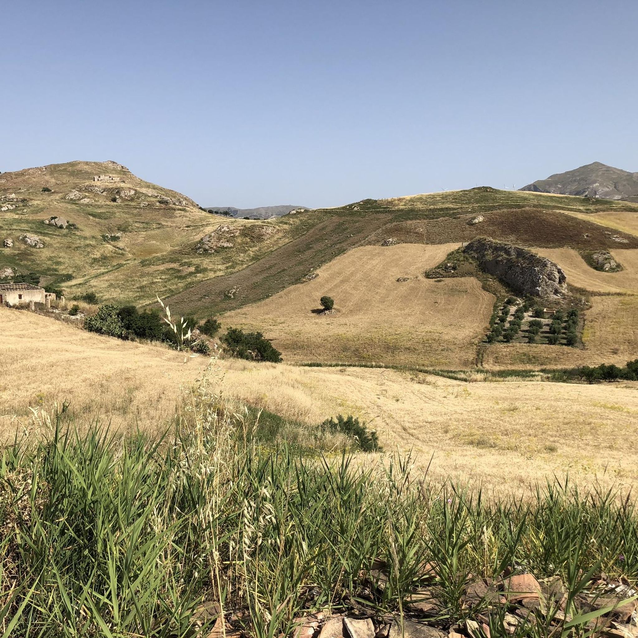
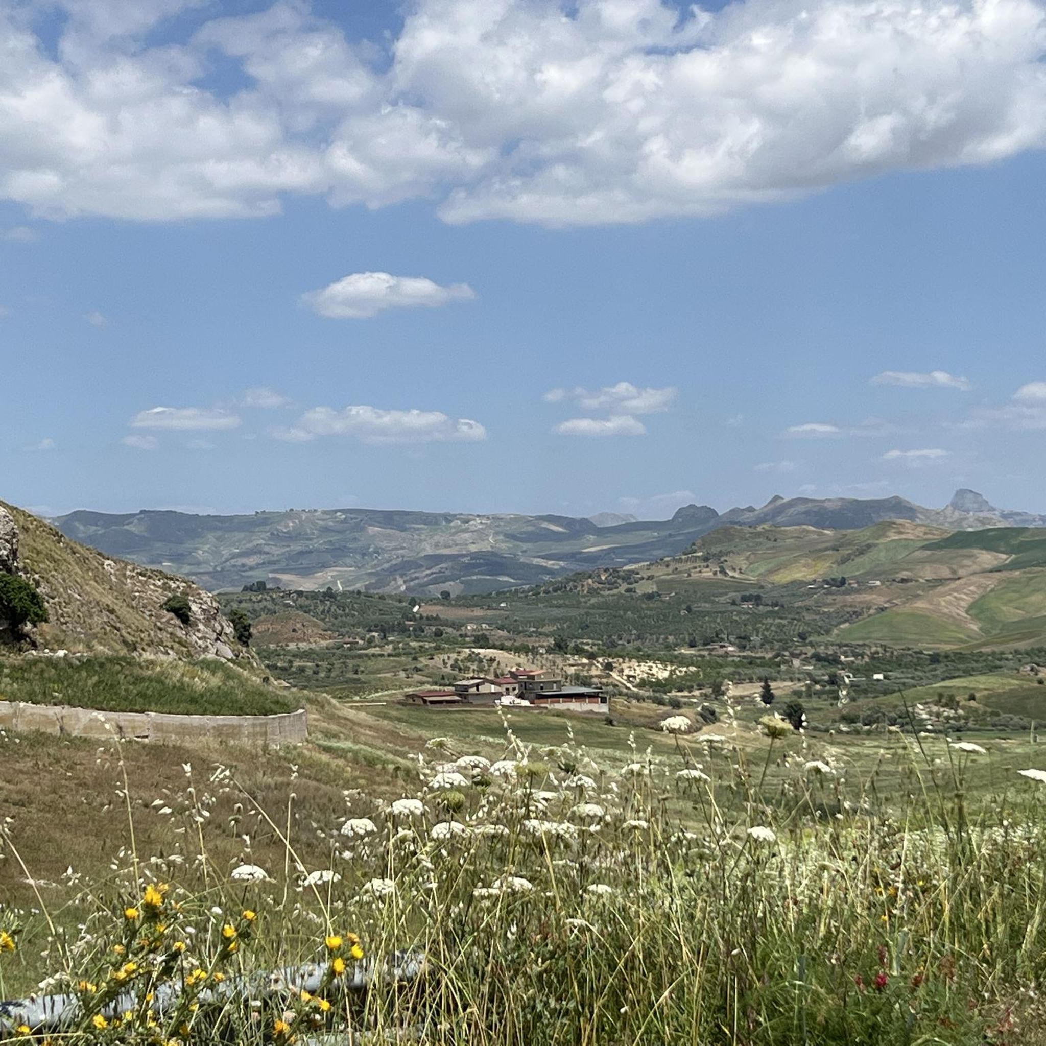
Here you can walk in complete tranquility, immersing yourself in the arid but fascinating hilly landscape of the Sicilian hinterland. In this stretch you can feel like you are suddenly in an atmosphere almost like a western movie. The nature trail extends from Porto Empedocle to Raffadali in a ring that starts from the sea and reaches Agrigento.
1
0
Traveler's Tips: • Bring hiking shoes and a water bottle to stay hydrated along the way. • Stop at scenic spots to admire and capture the view with your camera. • End your trip by enjoying the specialties of Raffadali, for a complete experience. The route From Porto Empedocle to Raffadali offers an unforgettable adventure, where nature, culture and the flavors of Sicily blend together in a unique experience.
1
0
Explore Sicily on a unique journey that connects the sea to the hills, along the route From Porto Empedocle to Raffadali. This itinerary takes you through a variety of extraordinary landscapes, from the sun-kissed coasts to the gentle hills of the hinterland. Starting from Porto Empedocle, at an altitude of -0.6 meters above sea level, the route begins next to the Mediterranean, with the sea breeze accompanying your first steps. As you advance, the path gradually rises until it reaches its highest point at 424.2 meters, offering spectacular views that embrace the sea and the surrounding hills. With an elevation gain of 424.8 meters, this walk is perfect for those looking for an accessible but rewarding adventure. Along the way, you will be surrounded by typical Mediterranean vegetation, with the scent of aromatic herbs that mixes with the freshness of the hilly air. Arriving in Raffadali, you will find a welcoming village known for its culinary traditions and the warmth of its people. Don't miss the opportunity to taste local products, such as pistachios and typical sweets.
1
1

Such a warm little village. I was in the bar opposite the church on the piazza and was greeted so warmly as if I had always lived there. Next to the church is a beautiful mural and I also had a good meal at il Pellegrino.
0
0
Aragona is not the prettiest village on the Magna Via but it is comparatively large and there are several restaurants and bars to stop at. Almost everyone goes to "la botte del Pellegrino" where there is a special menu for hikers.
0
0
Frequently Asked Questions
How many hiking trails are available around Santa Elisabetta?
There are 5 diverse hiking trails around Santa Elisabetta, ranging from easy strolls to challenging full-day adventures. These routes allow you to explore the unique landscapes of the Sicani Mountains and the Agrigento province.
Are there any easy hiking trails suitable for beginners or families?
Yes, there is one easy trail perfect for a relaxed outing. The Piazza Umberto I – Le Due Grotticelle loop from Riserva naturale integrale Grotta di Sant'Angelo Muxaro is a 5.6 km route that offers a gentle introduction to the area's natural beauty.
What kind of landscapes can I expect to see on hikes near Santa Elisabetta?
The hiking trails around Santa Elisabetta, located in the Sicani Mountains of Sicily, offer a captivating mix of arid, hilly landscapes, reminiscent of a 'western movie' setting. You'll encounter historical sites, archaeological areas, and unique geological features like the nearby Macalube mud volcanoes.
What are some interesting historical or natural attractions to see along the trails?
The region is rich in history and unique natural features. You can explore archaeological sites like Petra di Calathansuderj, which features ancient tunnels and a stronghold. The Petra di Calathansuderj – Aragona loop specifically takes you through this fascinating area. You might also encounter the Torre del Salto d’Angiò, a historic castle.
Are there any long-distance or challenging hikes in the area?
Absolutely. For experienced hikers seeking a challenge, there are three difficult routes. The longest is the Cathedral of San Gerlando – Agrigento Cathedral loop from Invaso Consolida, spanning over 28 km with significant elevation changes, offering expansive views of the Sicilian hinterland.
What do other hikers say about the trails in Santa Elisabetta?
The komoot community rates the hiking trails around Santa Elisabetta highly, with an average score of 4.2 out of 5 stars from 17 reviews. Hikers often praise the unique historical sites and the immersive experience of the Sicilian landscape.
Are there any circular hiking routes available?
Yes, all 5 routes listed for Santa Elisabetta are circular, meaning you'll start and end at the same point. This makes planning your hike and return journey straightforward. For example, the Agrigento loop from Invaso Consolida is a challenging 18 km circular route.
What is the best time of year to go hiking in Santa Elisabetta?
Given the arid and hilly nature of the Sicilian hinterland, spring and autumn are generally the most pleasant seasons for hiking around Santa Elisabetta. The temperatures are milder, and the landscape can be particularly beautiful. Summers can be very hot, making longer hikes more challenging.
Is there a moderate difficulty trail for those looking for something in between easy and difficult?
Yes, there is one moderate trail available. The Piazza Umberto I – Le Due Grotticelle loop from Riserva naturale integrale Grotta di Sant'Angelo Muxaro is an 11.7 km route that provides a good balance of challenge and accessibility, perfect for a rewarding day hike.
Can I find trails that connect to coastal areas or offer sea views?
While Santa Elisabetta itself is inland, the region offers trails that connect the sea to the hills. The Trail from Porto Empedocle to Raffadali is a notable nature trail that provides immersive outdoor experiences and views of the Sicilian hinterland, linking towards the coast.
Most popular routes around Santa Elisabetta
Most popular attractions around Santa Elisabetta

Get inspired with the komoot mobile app


Explore more
Browse the best Hikes in other regions.
