The best walks and hikes around Villaverde De Guareña
5.0
(7)
11
hikers
6
hikes
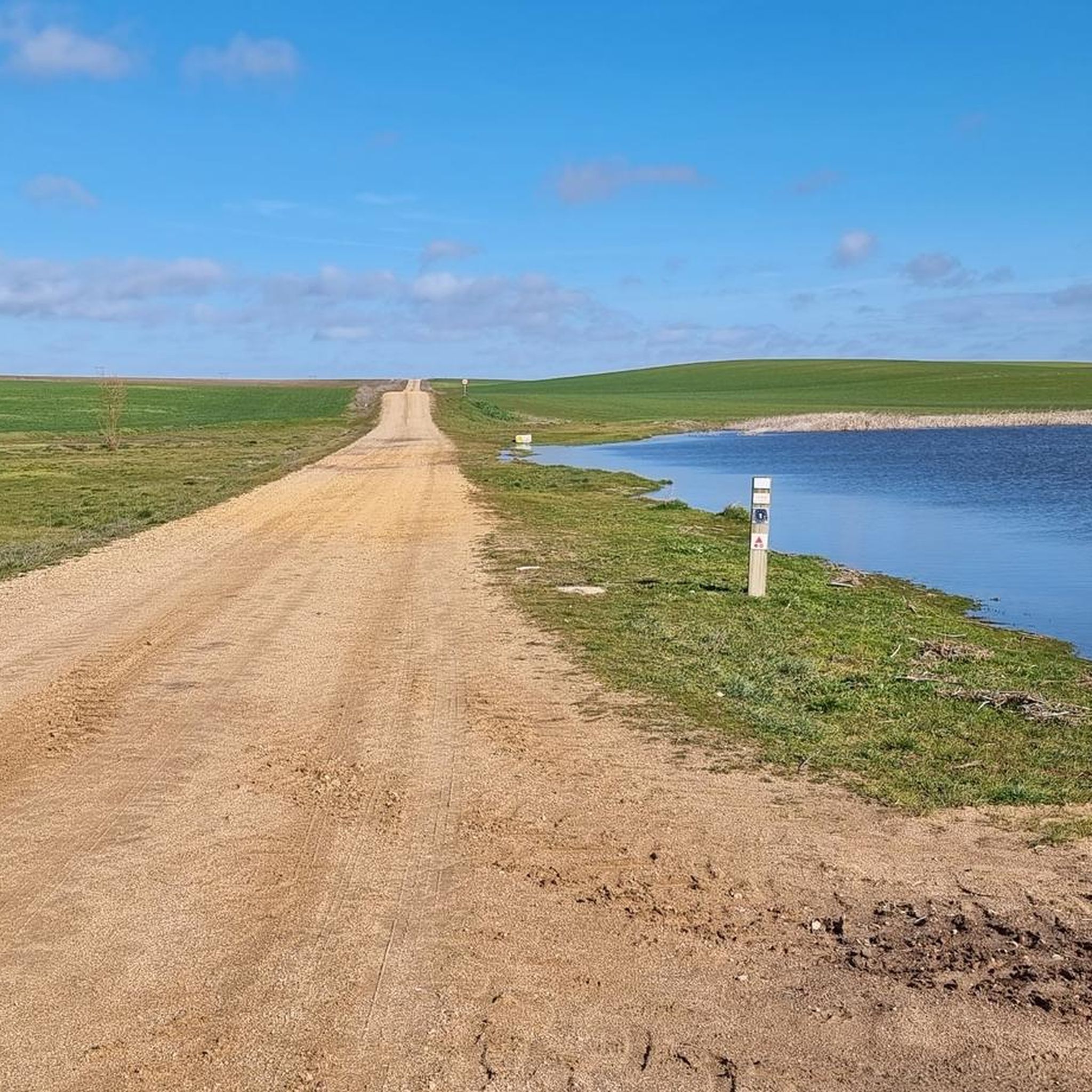
Hiking around Villaverde De Guareña offers routes through a tranquil rural setting in the north of Salamanca province. The landscape is characterized by extensive cultivated fields and pastures, featuring gentle undulations. Walks often pass by local streams and ponds, providing opportunities for nature observation within a serene environment. This area serves as a base for exploring rural walking routes with varied terrain.
Best hiking trails around Villaverde De Guareña
- The most popular hiking route is Puente de Aldealama loop from San Cristóbal de la Cuesta, a 5.9 miles (9.6 km) trail that takes 2 hours 28 minutes to complete. This moderate route traverses cultivated fields and offers views of the surrounding agricultural landscape.
- Another top favourite among local hikers is Charca del Franco loop from Urbanización Fuente Vieja, an easy 4.2 miles (6.7 km) path. This route leads through open spaces and past local ponds, characteristic of the region's gentle terrain.
- Local hikers also love the Parada de Rubiales loop from Parada de Rubiales, a 5.5 miles (8.9 km) trail leading through cultivated fields and pastures, often completed in about 2 hours 20 minutes.
- Hiking around Villaverde De Guareña is defined by cultivated fields, pastures, and gentle undulations, with routes often passing by streams and ponds. The network offers options for different ability levels.
- The routes in Villaverde De Guareña are highly rated by the komoot community with an average score of 5.0 stars from over 7 reviews. More than 11 hikers have used komoot to explore Villaverde De Guareña's varied terrain.
Last updated: July 2, 2026
5.0
(7)
2
hikers
9.56km
02:28
50m
50m
Moderate hike. Good fitness required. Easily-accessible paths. Suitable for all skill levels.
1
hikers
6.69km
01:42
10m
10m
Easy hike. Great for any fitness level. Easily-accessible paths. Suitable for all skill levels.

Sign up for free
1
hikers
5.48km
01:23
10m
10m
Easy hike. Great for any fitness level. Easily-accessible paths. Suitable for all skill levels.
3
hikers
8.89km
02:20
80m
80m
Moderate hike. Good fitness required. Easily-accessible paths. Suitable for all skill levels.
2
hikers
8.03km
02:08
80m
80m
Moderate hike. Good fitness required. Easily-accessible paths. Suitable for all skill levels.
Our route recommendations are based on thousands of hikes, rides, and runs completed by other people on komoot.
Start today with a free account
Your next adventure awaits.
Login or Signup


Tips from the Community

Privileged view of La Armuña and amazing sunsets
0
0

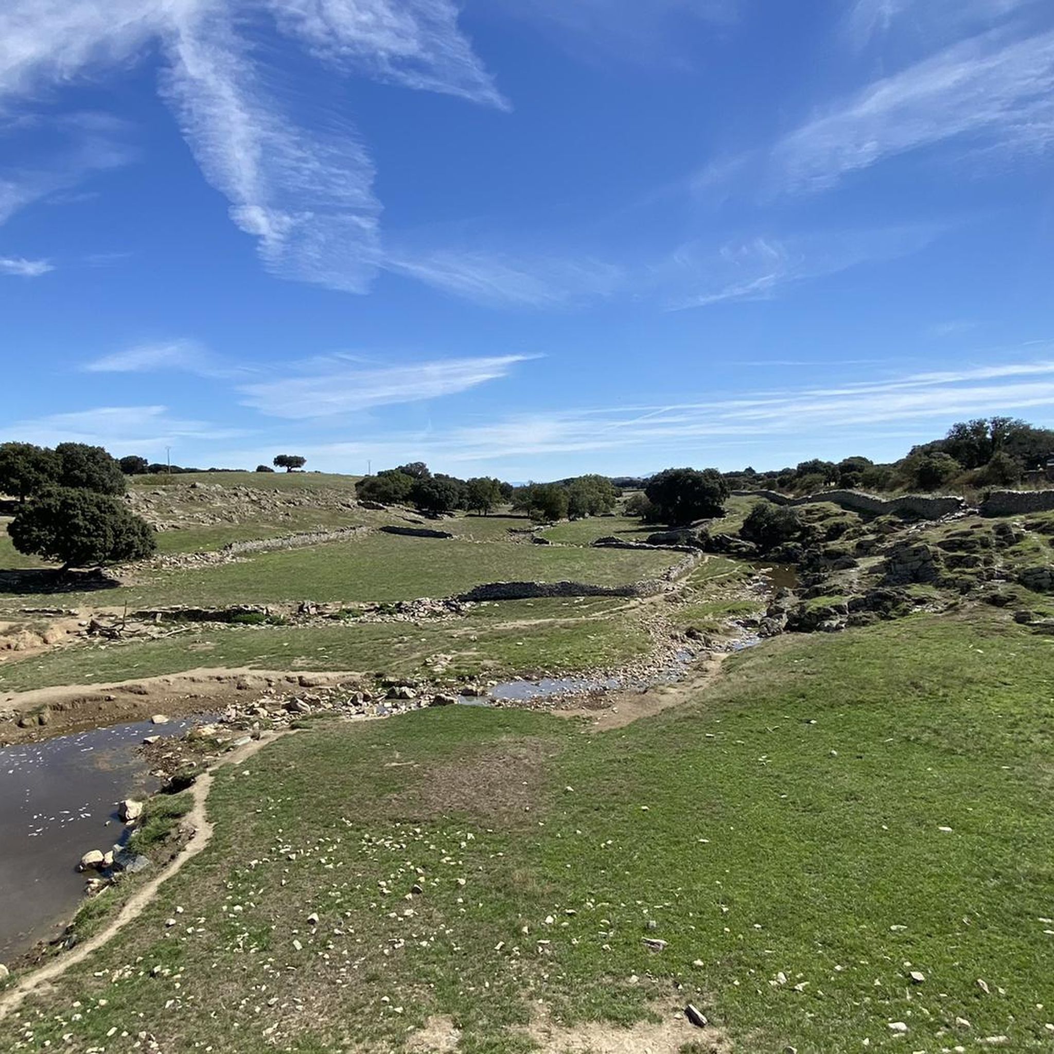
Pretty town to the north of the city of Salamanca with a characteristic flat landscape, typical of the region of La Armuña. In the northern part of the municipality, specifically on the Valdemoros mountain, there is a forest of pines and holm oaks, closer to the region of Las Guareñas.
0
0
Frequently Asked Questions
How many hiking trails are available around Villaverde de Guareña?
There are 6 hiking routes available around Villaverde de Guareña, offering a variety of experiences through the tranquil rural landscape.
What kind of terrain can I expect on hikes near Villaverde de Guareña?
The terrain around Villaverde de Guareña is characterized by gentle undulations, extensive cultivated fields, and pastures. You'll find peaceful walks through open spaces, often alongside local streams and ponds.
Are there any easy hiking routes suitable for beginners or families?
Yes, there are easy routes perfect for a relaxed stroll. For example, the Charca del Franco loop from Urbanización Fuente Vieja is a gentle 6.7 km path, or the slightly shorter Charca del Franco loop from La Vellés at 5.5 km.
What are some notable landmarks or attractions to see while hiking?
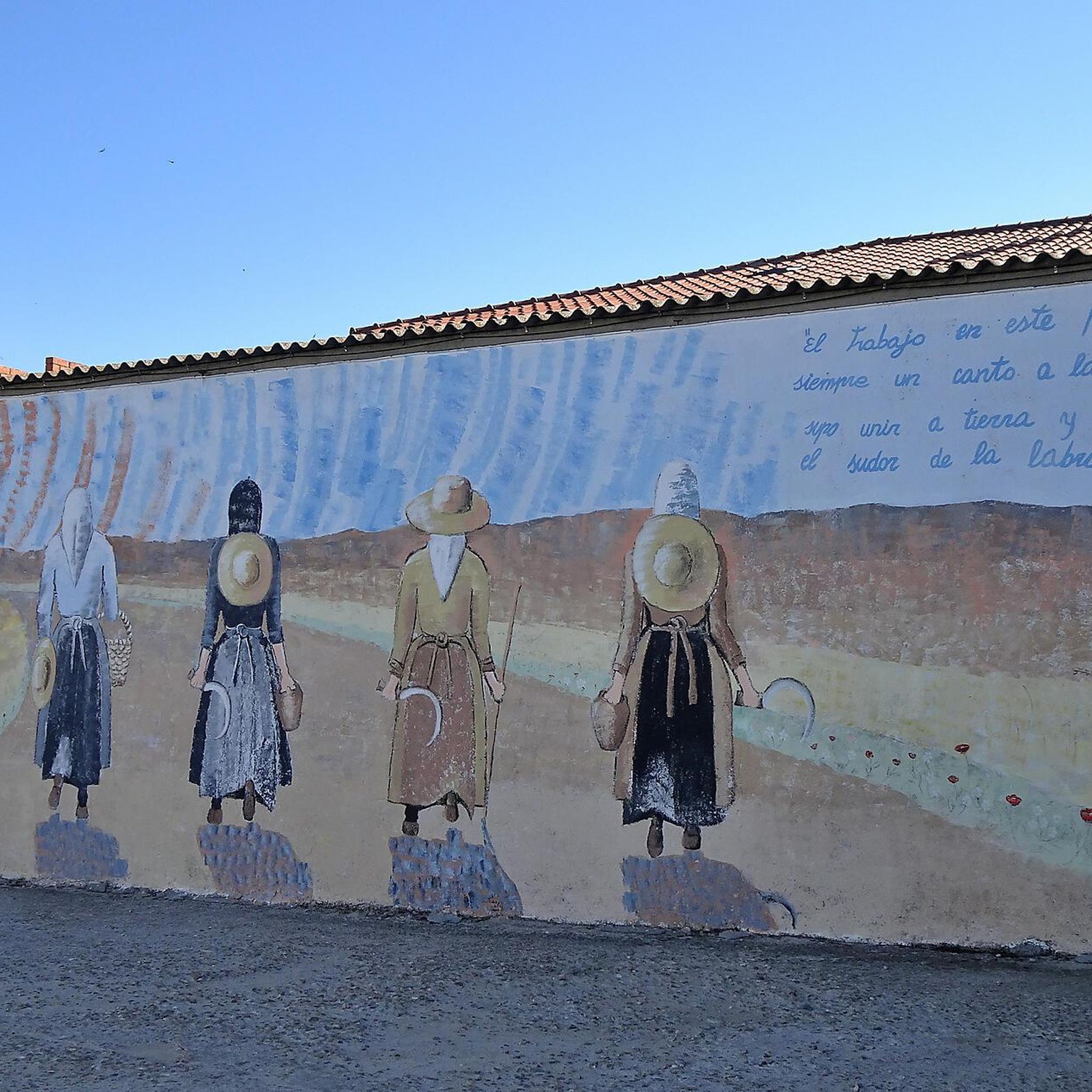
While hiking, you can explore several points of interest. The Villaverde de Guareña Murals and Church are within the village itself. You might also enjoy the Huerta Church, or take in the expansive Landscapes of La Armuña.
Are there any circular hiking routes?
Yes, most of the routes around Villaverde de Guareña are circular, allowing you to start and end in the same location. A popular moderate option is the Puente de Aldealama loop from San Cristóbal de la Cuesta, covering about 9.6 km.
What is the best time of year to go hiking in this region?
The region's gentle terrain makes it suitable for hiking during many seasons. Spring and autumn offer pleasant temperatures and vibrant landscapes. Even in winter, the mild undulations can provide peaceful walks, though always check local weather conditions.
Can I bring my dog on the hiking trails?
Many rural paths in the area are suitable for dogs, especially the open field and pasture routes. However, it's always recommended to keep dogs on a leash, especially near cultivated areas or if livestock is present, and to respect local regulations.
Are there any viewpoints or scenic spots along the trails?
The open agricultural landscape provides many scenic vistas. You can enjoy broad views of the countryside, such as those from Las Canteras. The area's streams and ponds also offer opportunities for observing local wildlife like white storks and coots.
What do other hikers say about the trails in Villaverde de Guareña?
The hiking experiences in Villaverde de Guareña are highly rated by the komoot community, with an average score of 5.0 stars. Hikers often appreciate the tranquil rural setting and the peaceful walks through the open countryside.
Are there any longer, more challenging routes for experienced hikers?
While the area is generally known for its gentle terrain, there are moderate routes that offer a longer experience. The Parada de Rubiales loop from Parada de Rubiales is a good option, spanning nearly 9 km with some elevation gain, providing a more extended exploration of the landscape.
Is there parking available near the trailheads?
As Villaverde de Guareña and its surrounding villages are small, you can typically find parking in or near the starting points of the routes. It's advisable to check the specific route details on komoot for parking suggestions at each trailhead.
Most popular routes around Villaverde De Guareña
Most popular attractions around Villaverde De Guareña

Get inspired with the komoot mobile app


Explore more
Browse the best Hikes in other regions.
