The best walks and hikes around Tardáguila
5.0
(7)
8
hikers
2
hikes
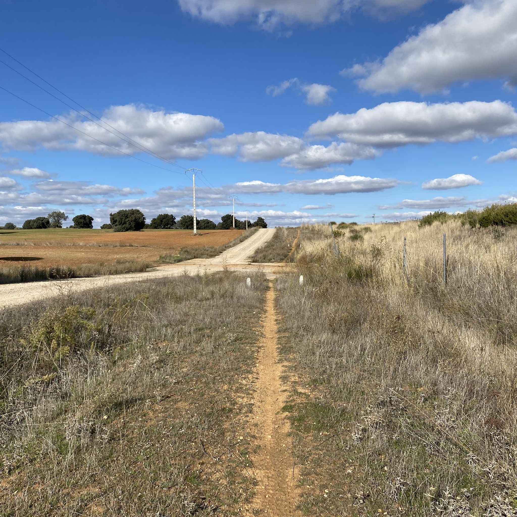
Hiking trails Tardáguila traverse expansive plains, offering a blend of rural Spanish heritage and natural landscapes. The region is characterized by open terrain, often featuring numerous ponds and lagoons that serve as habitats for various bird species. Many routes follow historic paths, including sections of the Vía de la Plata, providing gravel tracks with scenic views across the Castilian plateau.
Best hiking trails around Tardáguila
- The most popular hiking route is Puente de Aldealama loop from San Cristóbal de la…
Last updated: July 2, 2026
5.0
(7)
2
hikers
9.56km
02:28
50m
50m
Moderate hike. Good fitness required. Easily-accessible paths. Suitable for all skill levels.
1
hikers
6.69km
01:42
10m
10m
Easy hike. Great for any fitness level. Easily-accessible paths. Suitable for all skill levels.

Sign up for free
1
hikers
5.48km
01:23
10m
10m
Easy hike. Great for any fitness level. Easily-accessible paths. Suitable for all skill levels.
2
hikers
8.03km
02:08
80m
80m
Moderate hike. Good fitness required. Easily-accessible paths. Suitable for all skill levels.
2
hikers
9.42km
02:28
70m
70m
Moderate hike. Good fitness required. Easily-accessible paths. Suitable for all skill levels.
Our route recommendations are based on thousands of hikes, rides, and runs completed by other people on komoot.
Start today with a free account
Your next adventure awaits.
Login or Signup



Tips from the Community

Privileged view of La Armuña and amazing sunsets
0
0
Frequently Asked Questions
How many hiking trails are there in Tardáguila?
Tardáguila offers a selection of hiking trails, with a total of 5 routes available for you to explore. These trails cater to various preferences, from easy strolls to more moderate excursions.
What historical landmarks or natural features can I explore while hiking in Tardáguila?
While hiking in Tardáguila, you can immerse yourself in both history and nature. The region is traversed by the historic Vía de la Plata - Camino de Santiago, offering a path rich in cultural significance. You can also visit the impressive Church of Santa Elena of Calzada de Valdunciel, a religious building with Romanesque origins. For natural beauty, the area features expansive plains and numerous ponds, providing serene landscapes and opportunities for birdwatching.
What do other hikers enjoy about the trails around Tardáguila?
The hiking experiences around Tardáguila are highly rated by the komoot community, with an average score of 5.0 stars. Hikers often praise the tranquil rural setting, the well-maintained paths, and the opportunity to connect with nature and history, particularly along sections of the Vía de la Plata.
Are there easy hiking options suitable for beginners in Tardáguila?
Yes, Tardáguila is very welcoming for beginners and those seeking relaxed walks. Out of the 5 available routes, 2 are classified as easy. An excellent option is the Charca del Franco loop from Urbanización Fuente Vieja, which is just under 7 km long with minimal elevation gain, perfect for a gentle introduction to the area's natural beauty.
Are there any circular hiking routes available in Tardáguila?
Yes, all the hiking routes listed for Tardáguila are circular, offering convenient starting and ending points. For example, you can enjoy the Puente de Aldealama loop from San Cristóbal de la Cuesta, a moderate 9.5 km trail that brings you back to your starting point.
What is the typical length and duration of hikes in Tardáguila?
Hikes in Tardáguila vary in length and duration, generally ranging from around 5.5 km to 9.5 km. You can expect walks to take anywhere from 1 hour 20 minutes to just under 2 hours 30 minutes, depending on the specific route and your pace. For instance, the Charca del Franco loop from La Vellés is about 5.5 km and takes approximately 1 hour 23 minutes.
When is the best time of year to go hiking in Tardáguila?
The best time to go hiking in Tardáguila is typically during the spring (April to June) and autumn (September to November). During these seasons, the weather is milder and more pleasant, making for comfortable walking conditions. The landscape is also particularly beautiful, with spring bringing wildflowers and autumn offering rich colors across the plains.
What kind of natural landscapes and wildlife can I expect to see?
Tardáguila is characterized by its expansive plains and numerous ponds and lagoons. These natural features create a serene environment and serve as important habitats for various bird species, making the area suitable for birdwatching. You'll experience tranquil rural landscapes, often with wide-open views, as you explore the trails.
Are the hiking trails around Tardáguila suitable for families?
Many of the trails around Tardáguila are suitable for families, especially the easier, shorter loops with minimal elevation gain. The gentle terrain and circular nature of the routes make them enjoyable for all ages. Consider the Charca del Franco loop from Urbanización Fuente Vieja for a family-friendly outing.
Can I bring my dog on the hiking trails in Tardáguila?
Yes, the rural and natural trails around Tardáguila are generally dog-friendly, offering plenty of open space for your canine companion. Always ensure your dog is under control, especially near livestock or wildlife, and remember to carry water for both yourself and your pet. It's also good practice to check local signage for any specific restrictions.
Is parking available, or can I reach trailheads by public transport?
While specific public transport options directly to every trailhead in Tardáguila might be limited, the region is generally accessible by car, and parking is usually available in or near the starting points of the routes, particularly in the nearby villages like San Cristóbal de la Cuesta or Urbanización Fuente Vieja. It's advisable to check the specific starting location of your chosen route for the best parking information.
Are there any routes that pass by the notable ponds or lagoons?
Yes, the region's natural landscape includes numerous ponds and lagoons. The Charca del Franco loop from Urbanización Fuente Vieja is an excellent example of a route that takes you past one of these notable water features, offering picturesque views and opportunities for birdwatching.
Can I experience the historic Vía de la Plata while hiking here?
Absolutely. The historic Vía de la Plata - Camino de Santiago traverses the Castilian plateau through Tardáguila. While specific komoot routes listed here might not follow the entire Vía, you can easily access and explore sections of this ancient path, which offers a perfect gravel track with scenic views and a deep sense of history.
Most popular attractions around Tardáguila

Get inspired with the komoot mobile app


Explore more
Browse the best Hikes in other regions.
