The best running trails around Población De Arroyo
44
runners
5
runs
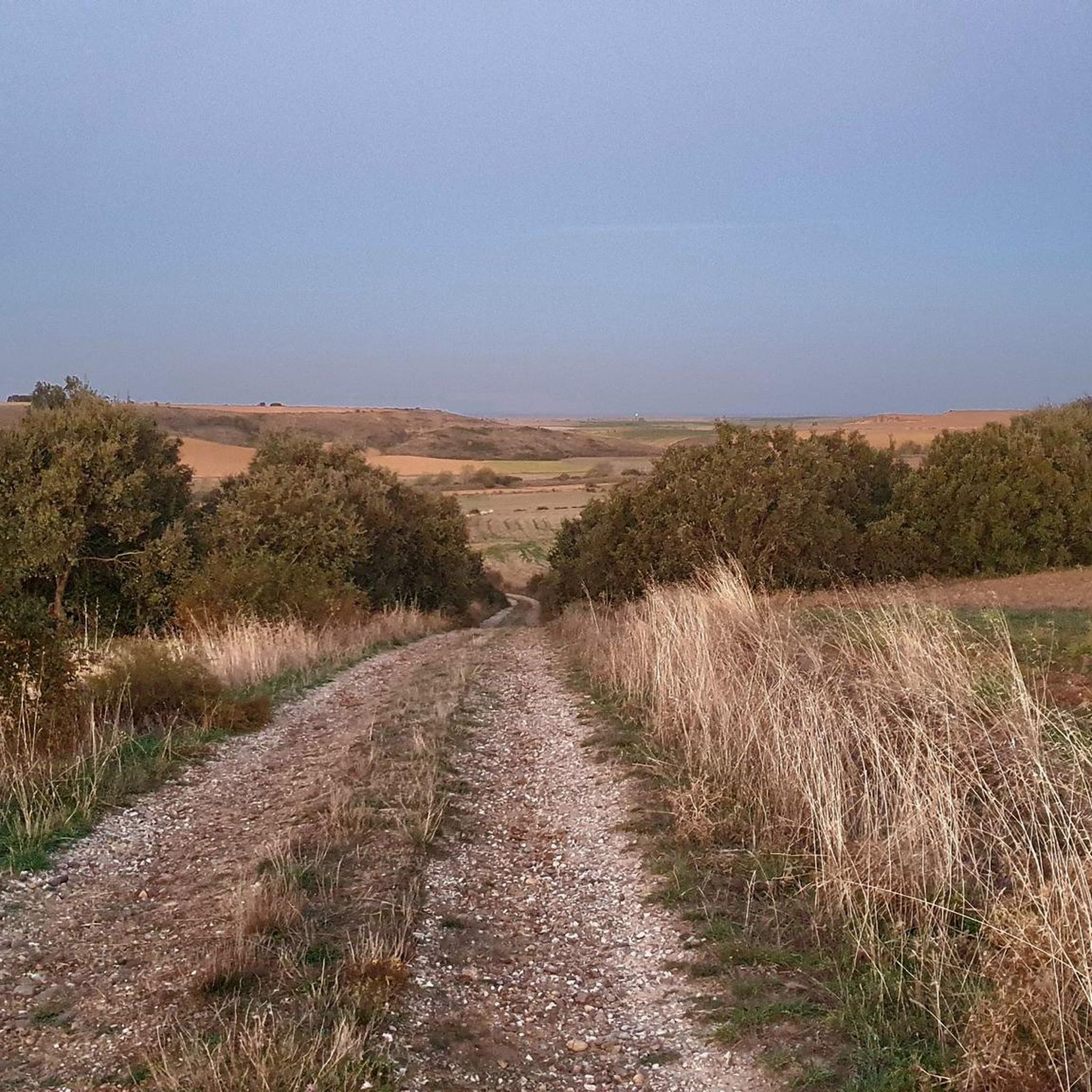
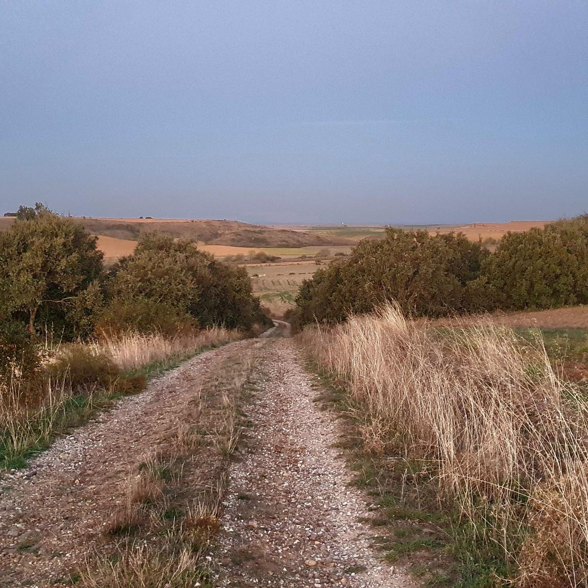
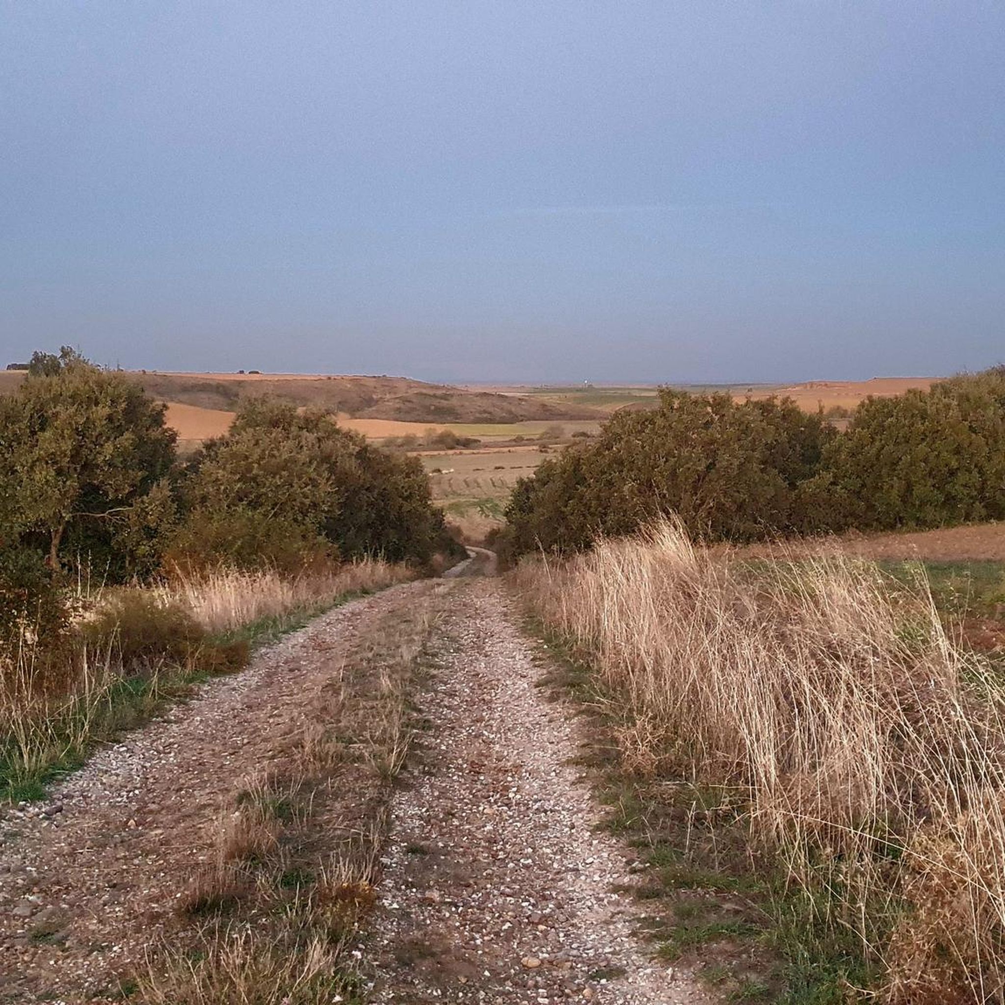
Jogging routes around Población De Arroyo are set within the flat, agricultural plains of Tierra de Campos in Palencia, Spain. The Valdeginate River flows through the area, contributing to the natural landscape. Established paths along the historic Camino de Santiago also offer suitable running trails. The terrain is generally tranquil and rural, providing a serene environment for outdoor activities.
Best jogging routes around Población De Arroyo
- The most popular jogging route is Calzadilla de la Cueza loop from La Cartera, a 27.5 miles (44.2 km) trail that takes 4 hours 37 minutes to complete. This difficult route offers a significant challenge for experienced runners.
- Another top favourite among local runners is Running loop from Sahagún, a moderate 8.6 miles (13.8 km) path. This route provides a good option for a shorter, less strenuous run through the rural surroundings.
- Local runners also love the Historic Monuments of Sahagún loop from Sahagún, a 12.6 miles (20.2 km) trail leading through an area with historical points of interest, often completed in about 2 hours 12 minutes.
- Jogging around Población De Arroyo is defined by flat agricultural plains, the Valdeginate River, and sections of the Camino de Santiago. The network offers options for different ability levels, from moderate loops to more difficult long-distance runs.
- The guide includes highly-rated routes that showcase the best of the region's landscape. More than 40 runners have used komoot to explore Población De Arroyo's varied terrain.
Last updated: May 21, 2026
29
runners
44.2km
04:38
190m
190m
Hard run. Very good fitness required. Mostly paved surfaces. Suitable for all skill levels.
4
runners
13.9km
01:32
60m
60m
Moderate run. Good fitness required. Mostly paved surfaces. Suitable for all skill levels.
3
runners
20.2km
02:12
80m
80m
Hard run. Very good fitness required. Mostly paved surfaces. Suitable for all skill levels.
Get access to more routes and recommendations from other explorers.
Sign up for free
Already have an account?
Our route recommendations are based on thousands of hikes, rides, and runs completed by other people on komoot.
Start today with a free account
Your next adventure awaits.
Login or Signup

Tips from the Community

Rest area, perfect for spending the night 💤
0
0

Calzadilla de la Cueza is a small town in the province of Palencia, with just 50 inhabitants, located in the Tierra de Campos region and part of the municipality of Cervatos de la Cueza. It is a major stop on the French Way of St. James and is also linked to the ancient Via Aquitania, a Roman road whose sections are still visible.
1
0
The Monastery of Santa María de Benevívere, also known as Benevívere Abbey, was an important religious institution founded in 1169 by the Castilian nobleman Diego Martínez de Villamayor, near Carrión de los Condes, in the province of Palencia. This monastery was located on the French Way of St. James and was entrusted to the Canons Regular of Saint Augustine.
1
0
If you have the opportunity to explore this trail, you'll enjoy the natural beauty and ecological richness of the area. Enjoy your hike! 🌿🚶♀️
0
0

The Arco de San Benito is an impressive monument in Sahagún, located in the region of Castilla y León, Spain. It was built around 1662 by the architect Felipe Berrojo to replace the old Romanesque portal of the Monasterio de San Benito. The arch is designed as a triumphal arch, under which the N-120 passes, and is also known as "la puerta de Sahagún" (the gate of Sahagún). The monument is richly decorated with a central shield, inscriptions and sculptures of Saints Facundo and Primitivo. At the top is the royal shield, and there are also sculptures of Alfonso III and Alfonso VI, who were important protectors of the monastery.
8
0
Last picnic spot before Calzadilla de la Cueza.
2
0
The village is part of the municipal area of Cervatos de la Cueza and is located along the historic Camino Francés of the Camino de Santiago. It is a picturesque place with a rich history and beautiful landscapes, perfect for walkers and pilgrims.
2
0
The Arch" author Manuel García Juan. This mural shows two unmistakable symbols of Sahagún, a pilgrim, who represents those who cross the streets throughout the year, and the Arch of San Benito, the entrance door to the Monastery of San Benito that remains open as a symbol of invitation. Year 2020
3
1
Frequently Asked Questions
How many running routes are available in Población De Arroyo?
There are currently 5 dedicated running routes around Población De Arroyo listed on komoot. These routes offer a variety of distances and difficulties, catering to different fitness levels.
What kind of terrain can I expect on the jogging trails in Población De Arroyo?
The jogging trails in Población De Arroyo are primarily characterized by the flat, agricultural plains typical of the Tierra de Campos region. You'll find serene, rural settings, with the Valdeginate River contributing to the natural landscape. Some routes also follow established paths along the historic Camino de Santiago.
Are there any easy running routes for beginners in Población De Arroyo?
While there are no routes specifically marked as 'easy', there are 2 moderate running routes available. For instance, the Running loop from Sahagún is a moderate 8.6-mile (13.8 km) path, offering a less strenuous option suitable for those looking for a comfortable run.
What are some longer or more challenging running routes in the area?
For experienced runners seeking a challenge, there are 3 difficult routes. The longest is the Calzadilla de la Cueza loop from La Cartera, which spans 27.5 miles (44.2 km) and takes approximately 4 hours 37 minutes to complete. Another challenging option is the Historic Monuments of Sahagún loop from Sahagún, a 12.6-mile (20.2 km) trail.
Are there any circular running routes around Población De Arroyo?
Yes, many of the routes in the area are designed as loops. Examples include the Calzadilla de la Cueza loop from La Cartera, the Running loop from Sahagún, and the Historic Monuments of Sahagún loop from Sahagún, all offering a convenient circular experience.
What can I see or explore along the running routes in Población De Arroyo?
While the routes primarily showcase the tranquil rural landscape, some pass near points of interest. The village itself features the parish church of San Pelayo. Additionally, the Historic Monuments of Sahagún loop from Sahagún leads through an area with historical points of interest. Nearby attractions include the Geographical Center of the Camino Francés – Ermita de la Virgen del Puente and the San Benito Arch and Ruins of the Monastery of San Benito.
Is Población De Arroyo suitable for family-friendly jogging?
The serene and generally flat agricultural plains make the area suitable for families. While specific 'family-friendly' routes aren't designated, the moderate 8.6-mile Running loop from Sahagún could be a good option for families looking for a manageable distance in a peaceful setting.
What is the best time of year for running in Población De Arroyo?
Given the agricultural plains and the presence of the Valdeginate River, spring and autumn generally offer the most pleasant conditions for running, with milder temperatures. Summers can be warm, and winters might be chilly, so checking local weather forecasts is always recommended.
Are there any specific natural features to look out for while running?
The most prominent natural feature is the Valdeginate River, which flows through the municipal term and contributes to the local landscape. The term 'arroyo' itself refers to a brook or dry watercourse, suggesting you might encounter such formations, especially after rain, adding to the natural charm of the routes.
What do other runners say about the trails in Población De Arroyo?
More than 40 runners have used komoot to explore Población De Arroyo's varied terrain. Users often appreciate the tranquil, rural environment and the opportunity to run on established paths, including sections of the historic Camino de Santiago.
Are there options for parking near the running routes?
While specific parking details for each route are not provided, as a rural area, you can typically find parking in or near the villages that serve as starting points for these routes, such as Sahagún or La Cartera. It's advisable to check local parking availability upon arrival.
Most popular routes around Población De Arroyo
Most popular attractions around Población De Arroyo

Get inspired with the komoot mobile app


Explore more
Browse the best Running Trails & Routes in other regions.
