The best walks and hikes around Lominchar
4.8
(4)
43
hikers
2
hikes
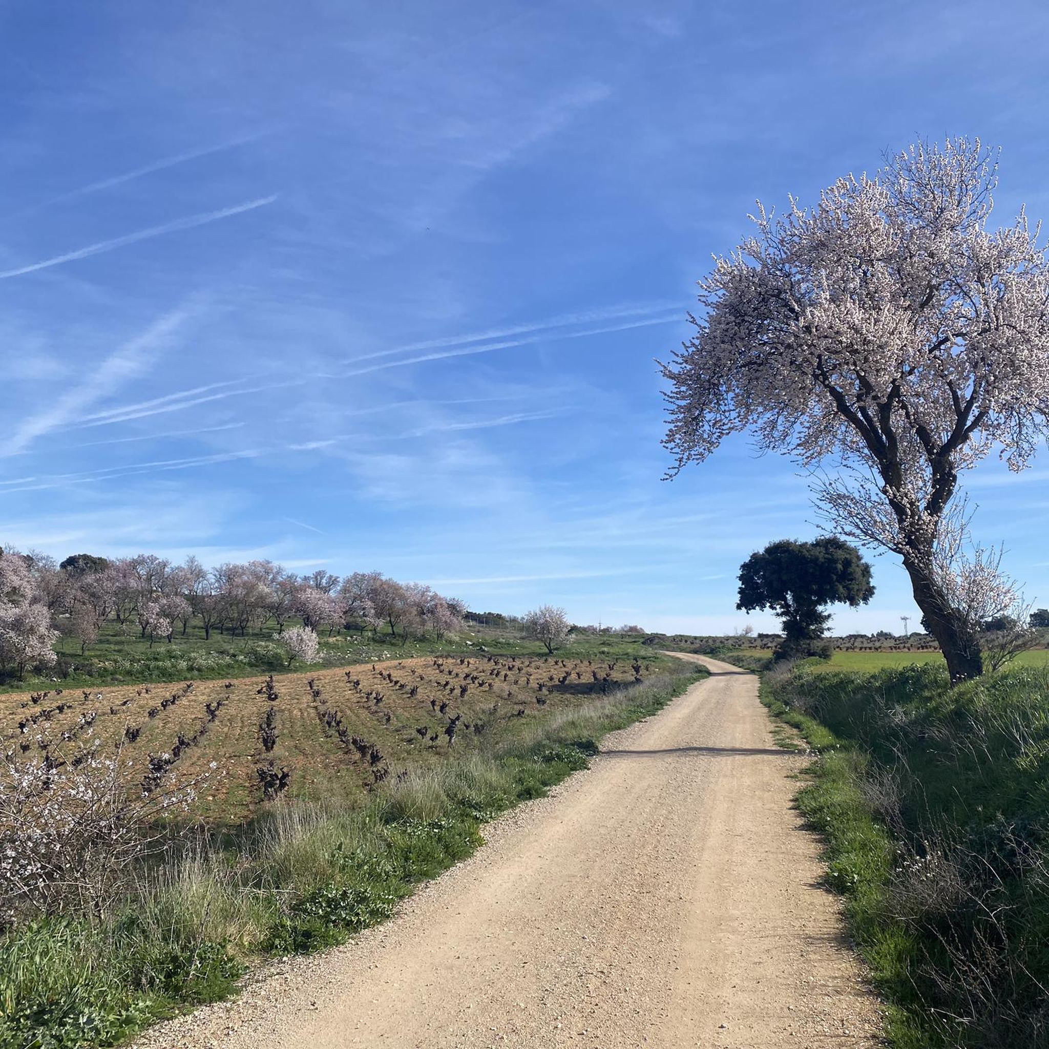
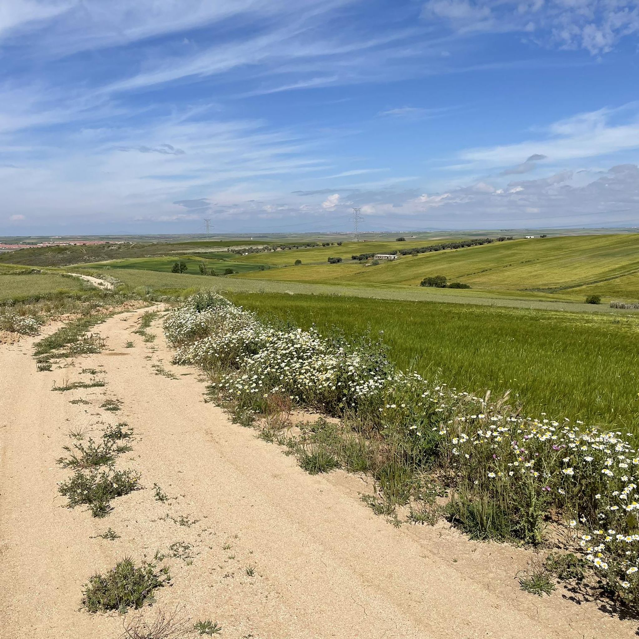
Hiking trails around Lominchar offer paths through agricultural areas and along local waterways. The terrain is generally flat with minimal elevation changes, characteristic of the plains in this part of Spain. Routes often connect nearby towns and residential areas, providing accessible options for outdoor activity.
Best hiking trails around Lominchar
- The most popular hiking route is Guadarrama River loop from Urbanización San Marcos, a 3.3 miles (5.3 km) trail that takes 1 hour 23 minutes to complete. This easy…
Last updated: May 21, 2026
4
hikers
5.33km
01:23
40m
40m
Easy hike. Great for any fitness level. Easily-accessible paths. Suitable for all skill levels.
3
hikers
9.88km
02:34
70m
70m
Moderate hike. Good fitness required. Easily-accessible paths. Suitable for all skill levels.

Sign up for free
5.0
(1)
5
hikers
11.4km
03:00
100m
100m
Moderate hike. Good fitness required. Easily-accessible paths. Suitable for all skill levels.
3
hikers
12.0km
03:06
80m
80m
Moderate hike. Good fitness required. Easily-accessible paths. Suitable for all skill levels.
2
hikers
4.38km
01:09
30m
30m
Easy hike. Great for any fitness level. Easily-accessible paths. Suitable for all skill levels.
Our route recommendations are based on thousands of hikes, rides, and runs completed by other people on komoot.
Start today with a free account
Your next adventure awaits.
Login or Signup



Tips from the Community

Due to its proximity to Madrid (which is at the same distance as Toledo), Illescas is one of the fastest growing municipalities in the province of Toledo. Even so, its historic center with its narrow streets remains a quiet place to sneak away and enjoy the Puerta de Ugena de Alfonso VI, the church of the Asunción from the 13th century, and the Hospital de Nuestra Señora de La Caridad with five paintings of El Greek.
2
1
Frequently Asked Questions
What kind of terrain can I expect on hiking trails around Lominchar?
The hiking trails in the area around Lominchar are generally characterized by flat terrain with minimal elevation changes. You'll primarily find paths through agricultural areas and along local waterways, typical of the plains in this part of Spain.
Are there any easy hiking routes suitable for beginners or casual walkers?
Yes, there are easy options available. For instance, the Guadarrama River loop from Urbanización San Marcos is an easy 3.3-mile (5.3 km) trail that follows the Guadarrama River, taking about 1 hour 23 minutes to complete. Another easy route is the Puerta de Ugena – Historic Center of Illescas loop from Illescas, which is 2.7 miles (4.4 km) long.
What are some notable landmarks or natural features to see on the trails near Lominchar?
Many routes connect to nearby towns and residential areas, offering glimpses of local life. You can explore the Historic Center of Illescas, or follow the course of the Guadarrama River. Some trails also pass through the settlement of Chozas de Canales.
Are there any circular hiking routes in the Lominchar area?
Yes, several routes are designed as loops. Examples include the Guadarrama River loop from Urbanización San Marcos, the Puerta de Ugena loop from Illescas, and the Historic Center of Illescas – Fuente de los Leones loop from Illescas. These circular paths allow you to start and end at the same point.
What do other hikers say about the trails around Lominchar?
The routes in this area are highly rated by the komoot community, with an average score of 4.8 stars from 4 reviews. Hikers often appreciate the accessible options and the opportunity to explore agricultural landscapes and local waterways.
Are the hiking trails around Lominchar suitable for families with children?
Given the generally flat terrain and minimal elevation changes, many of the trails are suitable for families. Easy routes like the Guadarrama River loop from Urbanización San Marcos are good options for walks with children.
What is the best time of year to go hiking near Lominchar?
While specific seasonal recommendations are not available, the generally flat terrain suggests that hiking is pleasant during milder seasons like spring and autumn, when temperatures are moderate. Summer can be hot in this region, and winter might bring cooler, potentially wetter conditions.
Are there any longer or more challenging routes for experienced hikers?
For those looking for a bit more distance, there are moderate routes available. The Historic Center of Illescas – Fuente de los Leones loop from Illescas is a 7.1-mile (11.4 km) trail, and the Historic Center of Illescas loop from Illescas is 7.4 miles (11.9 km), both offering a longer experience through local landmarks.
Is there parking available at the trailheads?
While specific parking information for each trailhead is not detailed, routes often start from or pass through residential areas and towns like Illescas, where public parking options are typically available. It's advisable to check local signage upon arrival.
Can I reach the hiking trails using public transport?
The routes often connect nearby towns and residential areas, suggesting that some trailheads might be accessible via local public transport services to these towns. For specific public transport options to individual starting points, local bus schedules for towns like Illescas would be the best source of information.
Are there any cafes or places to eat near the hiking trails?
Since many routes connect or pass through towns like Illescas, you will find local amenities such as cafes, restaurants, and shops in these areas where you can refresh and refuel before or after your hike.
Most popular attractions around Lominchar

Get inspired with the komoot mobile app


Explore more
Browse the best Hikes in other regions.
