The best gravel rides around Cedrillas
4.0
(1)
21
riders
6
rides
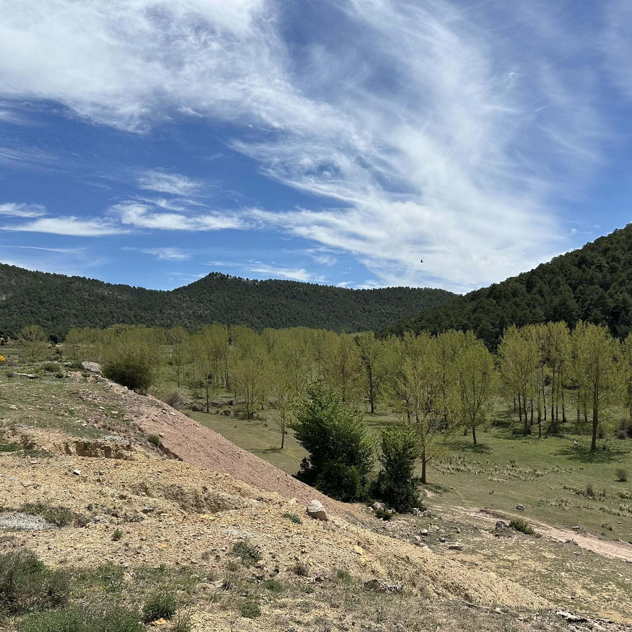
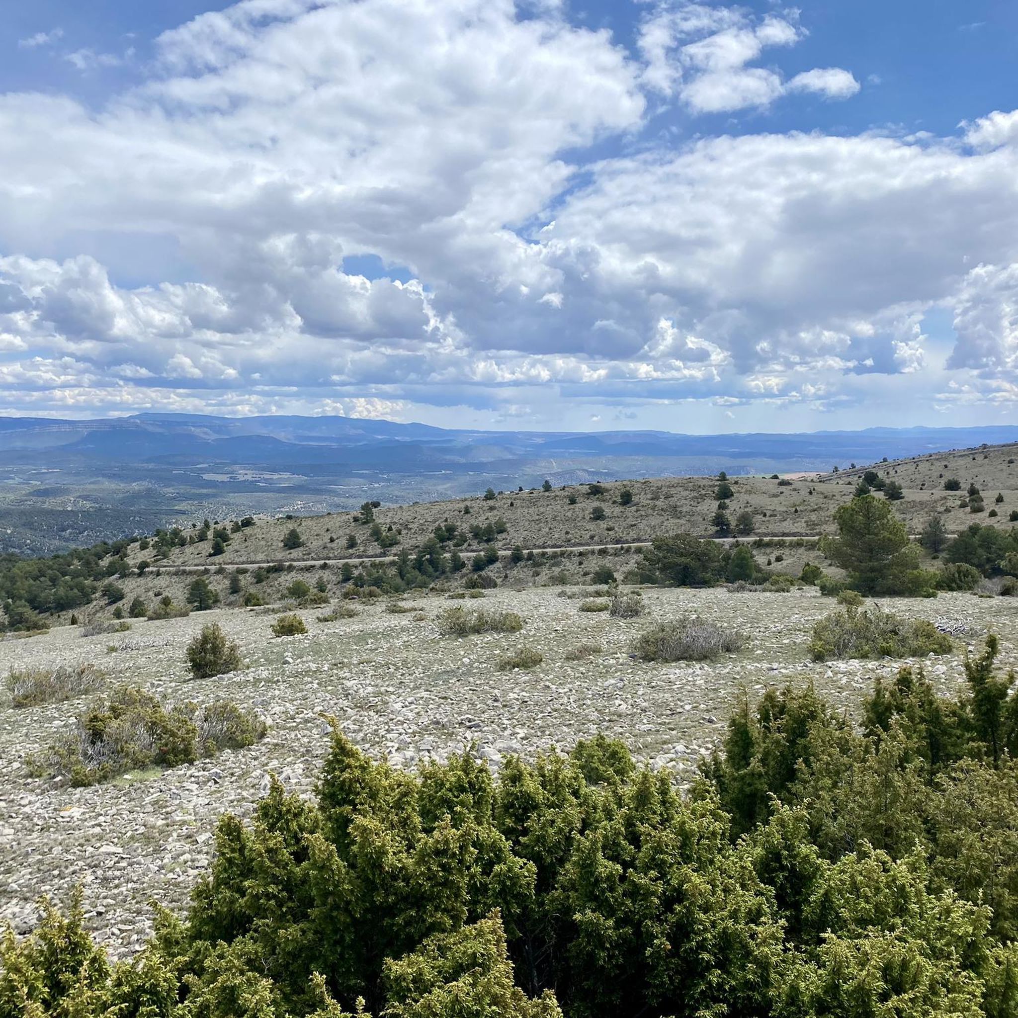
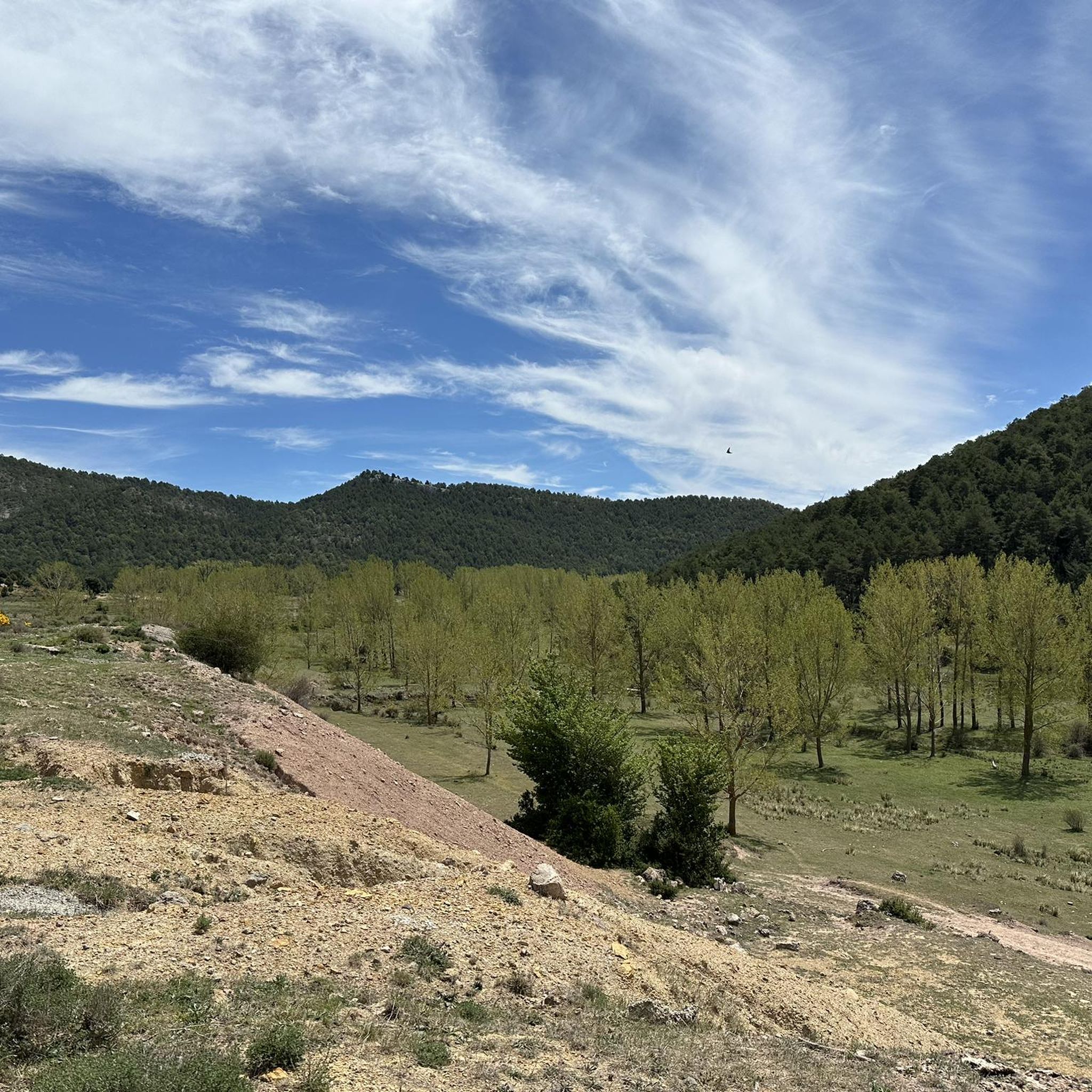
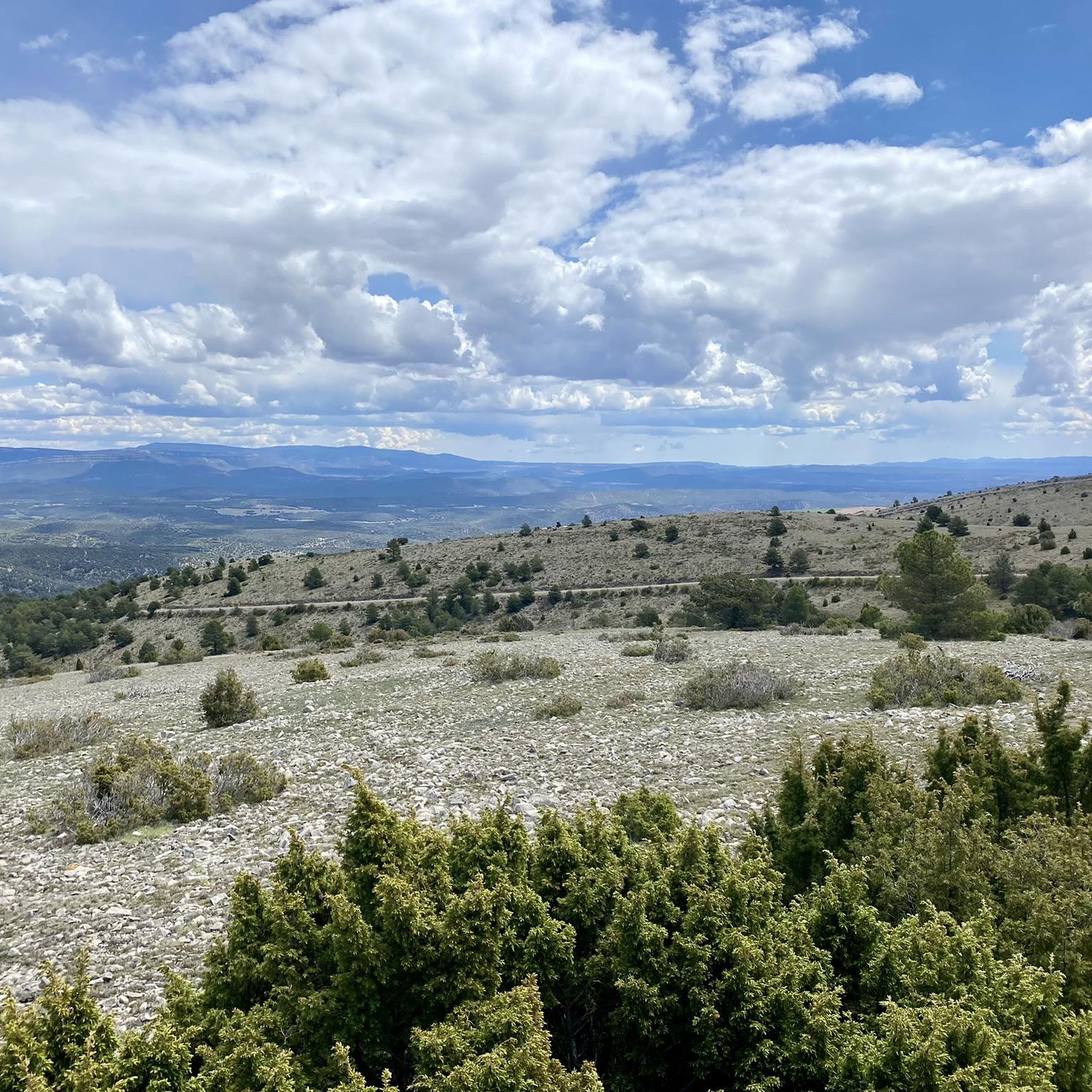
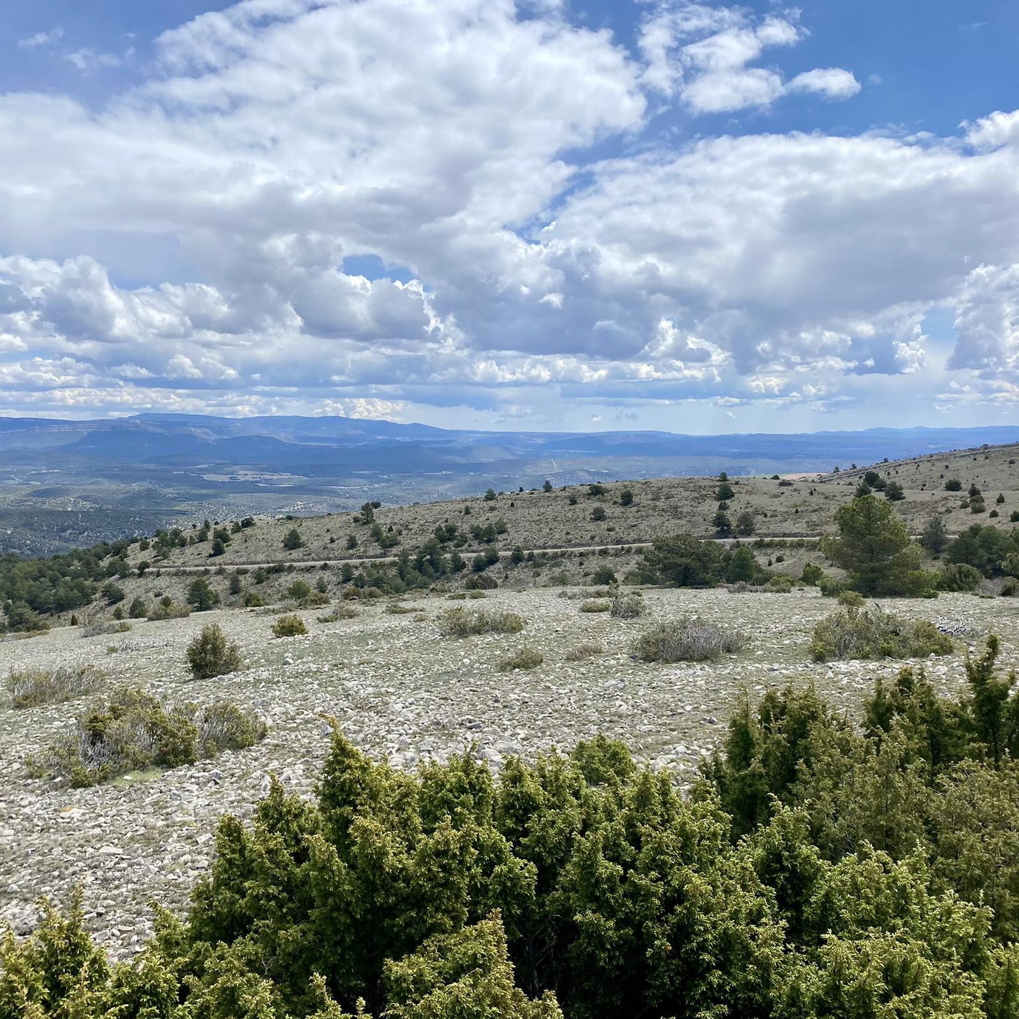
Gravel biking around Cedrillas offers a diverse landscape characterized by rugged mountain ranges, including the Sierra de Gúdar and Sierra del Pobo, and expansive valleys. The region features an extensive network of vehicle-width gravel tracks and unpaved country roads, providing varied terrain for cyclists. Riders can expect significant elevation changes and a mix of light to chunky gravel surfaces across forests and cultivated fields. This geological setting provides challenging climbs and panoramic views.
Best gravel bike trails around Cedrillas
- The…
Last updated: July 2, 2026
5
riders
48.9km
03:36
590m
590m
Hard gravel ride. Very good fitness required. Mostly paved surfaces. Suitable for all skill levels.
5
riders
56.5km
04:20
1,200m
1,190m
Hard gravel ride. Very good fitness required. Mostly paved surfaces. Suitable for all skill levels.

Sign up for free
4.0
(1)
5
riders
130km
10:30
2,080m
2,070m
Hard gravel ride. Very good fitness required. Mostly paved surfaces. Suitable for all skill levels.
2
riders
Hard gravel ride. Very good fitness required. Mostly paved surfaces. Suitable for all skill levels.
2
riders
70.4km
05:43
1,400m
1,400m
Hard gravel ride. Very good fitness required. Mostly paved surfaces. Suitable for all skill levels.
Our route recommendations are based on thousands of hikes, rides, and runs completed by other people on komoot.
Start today with a free account
Your next adventure awaits.
Login or Signup
Tips from the Community

Beautiful little town in the middle of the mountains
0
0

Hermitage of Santa Ana, Ababuj, Teruel.
0
0
Hermitage of the Holy Christ, Aguilar de Alfambra, Teruel.
0
0

Barbecue hut, table and benches, water, and trash cans. A good resting place.
0
0
Good water in abundance at this spring.
1
0
Plenty of good water. A good place for a rest.
0
0


Picnic area with many tables at the church with cooking facilities and water
0
0
Frequently Asked Questions
What kind of terrain can I expect on gravel bike trails around Cedrillas?
Cedrillas offers a diverse mix of terrain, from light to chunky gravel tracks and unpaved country roads. You'll encounter significant elevation changes, as the region is nestled between mountain ranges like the Sierra de Gúdar and Sierra del Pobo, providing both challenging climbs and scenic descents through forests and valleys.
Are there any challenging gravel bike routes for experienced riders?
Yes, all the gravel routes around Cedrillas are considered difficult, offering significant challenges for experienced riders. For instance, the Alcalá de la Selva – Valdelinares Ski Resort loop from Gúdar covers over 56 km with nearly 1200 meters of elevation gain, taking you through mountainous landscapes.
Can I find routes with panoramic views in Cedrillas?
Absolutely. The region is known for its stunning panoramic views. The Peñarroya Summit and Observation Tower, for example, offers 360-degree vistas of the entire valley and the interior of Teruel from over 2000 meters above sea level. Many routes will take you through elevated areas with spectacular scenery.
Are there any gravel bike routes that feature waterfalls or natural monuments?
Yes, the Canyon With Waterfall – Valdecebro Station Rest Area loop from Cedrillas is a challenging 129 km route that includes a canyon with a waterfall. Additionally, you can explore natural monuments like the Peña Ojerada Rock Formation or the El Castellar (Dinosaur Tracksite) in the wider area.
What historical or cultural landmarks can I see while gravel biking in Cedrillas?
The area around Cedrillas is rich in history. You can encounter landmarks such as the Alcalá de la Selva Castle, a significant historical site. The village of Virgen de la Vega is also a notable point of interest, and the Puerto de Cabigordo mountain pass offers both a cycling challenge and historical significance.
Are there any circular gravel bike routes available?
Yes, many of the gravel bike routes in Cedrillas are designed as loops. For example, the Pilones Trail – Pilones Trail loop from Loma de la Majada is a 48 km circular route, and the Virgen de la Vega – Fuente del Hortalán loop from Ermita Santuario de la Virgen de la Vega offers a shorter, yet still difficult, 24 km loop.
What is the best time of year for gravel biking in Cedrillas?
Cedrillas, being in a mountainous region, experiences varied weather. Spring and autumn generally offer the most pleasant temperatures for gravel biking, avoiding the intense heat of summer and the colder conditions of winter. Always check the local forecast before heading out, especially given the significant elevation changes.
What do other gravel bikers enjoy most about Cedrillas?
The komoot community rates the gravel biking experience in Cedrillas highly, with an average score of 4.0 stars. Riders often praise the challenging and diverse terrain, the stunning panoramic views from mountain passes and summits, and the opportunity to explore a rich natural and historical landscape away from crowded areas.
Are there any routes that pass by the Source of the Mijares River?
While not explicitly listed as a gravel bike route in this guide, the scenic Source of the Mijares River is a significant natural attraction in the region. A low-difficulty route from Cedrillas leads to this area, offering beautiful landscapes and a picnic spot, which can be explored as part of a longer gravel ride or as a separate excursion.
What are the typical distances and elevation gains for gravel routes in Cedrillas?
Gravel routes in Cedrillas vary significantly in length and elevation. You can expect distances ranging from around 24 km, like the Virgen de la Vega – Fuente del Hortalán loop with over 500 meters of ascent, to much longer and more demanding rides such as the Canyon With Waterfall loop, which spans nearly 130 km with over 2000 meters of climbing.
Are there any routes suitable for families or beginners?
The gravel bike routes featured in this guide are all rated as 'difficult' due to significant distances and elevation gains, making them more suitable for experienced riders. For families or beginners, exploring the gentler sections of unpaved country roads or shorter, less strenuous paths around Cedrillas might be a better option, though these are not specifically detailed in this collection.
Most popular attractions around Cedrillas

Get inspired with the komoot mobile app


Explore more
Browse the best Gravel rides in other regions.
