The best MTB trails around Castelgrande
4.9
(11)
18
riders
6
rides
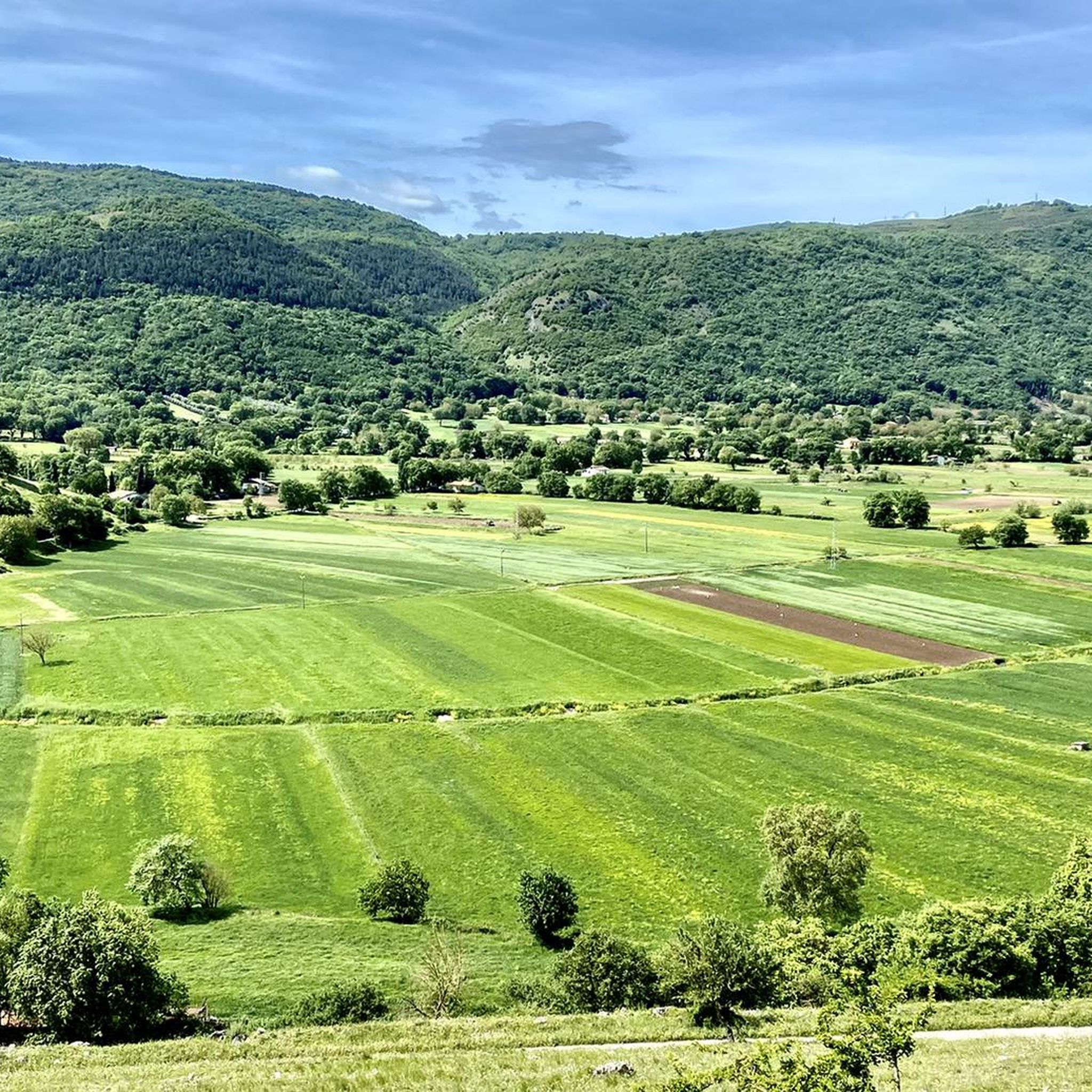
Mountain bike trails around Castelgrande are situated within Italy's Basilicata region, characterized by the Lucanian Apennines. The terrain features elevations ranging from 700 to 1,200 meters, encompassing diverse landscapes of valleys, extensive woods, and forested hills. This environment provides varied routes for mountain biking, with trails winding through natural features. The region's composition of mountainous backdrops and varied elevations offers a range of challenges for riders.
Best mountain bike trails around Castelgrande
- The most popular mountain bike trail is Discesa…
Last updated: October 30, 2026
5.0
(1)
2
riders
19.6km
01:42
510m
520m
Moderate mountain bike ride. Good fitness required.
5.0
(7)
4
riders
27.7km
02:05
620m
620m
Moderate mountain bike ride. Good fitness required.

4.5
(2)
4
riders
23.6km
01:52
580m
580m
Moderate mountain bike ride. Good fitness required.
2
riders
39.3km
03:21
1,130m
1,130m
Hard mountain bike ride. Very good fitness required.
3
riders
29.2km
02:27
740m
750m
Moderate mountain bike ride. Good fitness required.
Our route recommendations are based on thousands of hikes, rides, and runs completed by other people on komoot.
Start today with a free account
Your next adventure awaits.
Popular around Castelgrande
Tips from the Community

There is no cycle path, the route roughly follows the route of the aqueduct but the roads mostly cross open countryside where there is not a soul in sight.
0
0

Stunning panorama..among nature and podolic animals. Pure air...
1
0

Following the course of the water of the "Forma" it turns out to be the first mill. Quite detailed information on this mill is provided by the notarial deed of 10 June 1825 stipulated to put an end to the "various disputes" caused by the servitude to which the Monastery had been subjected by the owners of the Mill at the source. From this deed it is noted that this mill was built in the early 1800s but in a notarial deed dated 4 November 1802 of the sale of a vineyard at the Fonte, it reserves the right to modify the conditions of the same sale if a mill were built in the area. In the Provisional Land Registry the "alla Fonte" mill appears to belong to the heirs of Don Carlo De Laurentiis and partners. Donated by the heirs of Prof. Pasqualino Bellisario to the Municipality of S. Andrea, it was restored and returned to the community as evidence of the ancient past of the town. Currently used as a backdrop for cultural events. Sources: [1] https://santandreaconza.altervista.org/index.php/merav/mulini
1
0
Main square of the town, with its monumental fountain and stone lion
0
0
Fountain on the Arso and adjoining green space. Created by the Comunità Montana in the early 90s, today it is, unfortunately, in a state of total degradation and abandonment
0
0
It was the third in the Archbishop's canteen. It is the one that has been best preserved, but it seems to be about to collapse. It worked until the early 1950s of the century that has just ended. A photo of this mill is attached, taken in the 80s of the last century, in which you can also clearly see the tower of the "D'Angola" mill located just above. The so-called "dolce" was located near this mill, i.e. a squared stone (about one cubic metre) on which the peasants leaned while waiting to be able to divert the water downstream from the mill to the various districts (Forma, S. Antonio , Fiego). Until August 2002, this stone was located on the edge of the rest area adjacent to the ruins of the mill. In August 2005 it then disappeared. Sources: [1] https://santandreaconza.altervista.org/index.php/merav/mulini
0
0
The Malanga and Clemente furnace, located in via Monacacchio, has been in business since 1920. The building covers an area of around 1400 square meters and at full capacity it produced around 4000 pieces every year, mainly roof tiles and perforated bricks. In operation until 1982 it was equipped with a Hoffman oven (https://it.wikipedia.org/wiki/Forno_Hoffmann) buried with a chimney and used manual technologies that have now become rare. At the beginning of the 90s of the last century, a consolidation and recovery project transformed the furnace into a multifunctional center for cultural, recreational and social gathering activities.
0
0

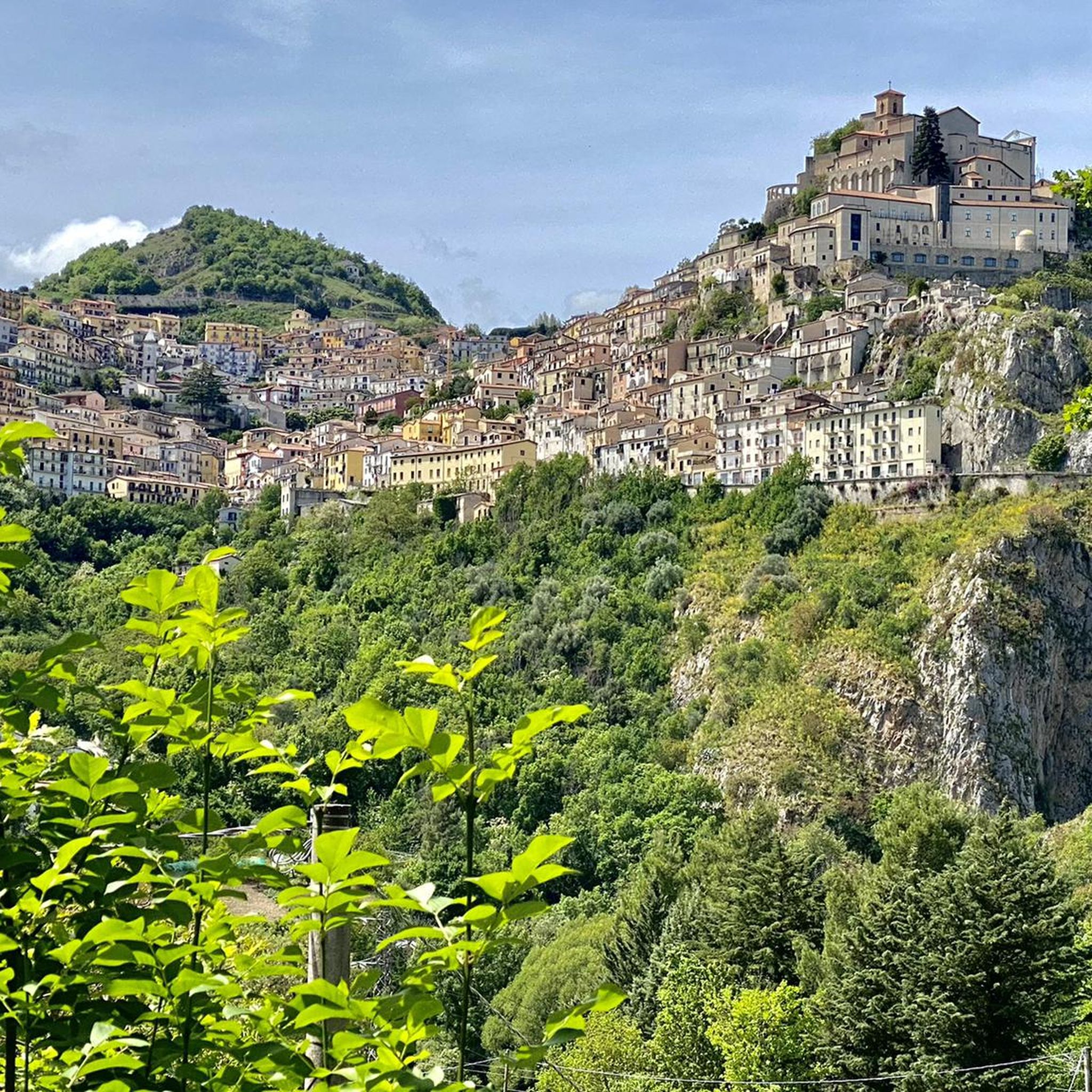
A small town in the province of Avellino, Sant'Andrea di Conza rises along the valley of the Ofanto river and is part of the Alta Irpinia mountain community and of the Union of Alto Ofanto municipalities. It stands on a panoramic hill from which you can enjoy an excellent view.
1
0
Frequently Asked Questions
What are the different difficulty levels of mountain bike trails around Castelgrande?
The mountain bike trails in the Castelgrande area cater to various skill levels. You'll find a mix of moderate and difficult routes. For example, the Unnamed Highlight loop from Pescopagano offers a moderate challenge, while the Discesa dei Prigionieri Trail – Abbey of San Ippolito loop is considered difficult due to its length and elevation gain.
Are there mountain bike trails with scenic viewpoints in the Castelgrande area?
Yes, the region offers trails with beautiful vistas. The mountainous backdrop of the Lucanian Apennines provides many opportunities for panoramic views. While specific viewpoints on every trail aren't listed, routes like the Monte Nuovo – Muro Lucano Castle loop traverse varied terrain that often opens up to scenic landscapes. Monte Toppo, a panoramic location, also offers extensive views over Puglia and Irpinia.
Can I find circular mountain bike routes near Castelgrande?
Absolutely. Many of the mountain bike routes around Castelgrande are designed as loops, allowing you to start and finish at the same point. Examples include the Unnamed Highlight loop from Pescopagano, the Fontana sull'Arso – Piazza Umberto I loop, and the Monte Calvo loop from Pescopagano.
What natural features can I expect to see along the mountain bike trails?
The region is rich in natural beauty. You can expect to ride through extensive woods and forested hills. Natural waterfalls, such as the Lovers' Waterfall and the Vertone Waterfall, are notable attractions in the area, offering picturesque stops. While not directly on all MTB trails, they are easily accessible nearby.
Are there any historical or cultural sites near the mountain bike routes?
Yes, the area around Castelgrande is dotted with historical and cultural points of interest. You can find the ruins of the Angioinian Castle, remains of town walls, and various churches like the Church of Maria Santissima Incoronata. The Piede Mill (Ruins of the Old Mill) is another interesting historical site.
What is the best time of year for mountain biking in Castelgrande?
The diverse elevation of Castelgrande, ranging from 700 to 1,200 meters, means conditions can vary. Generally, spring and autumn offer pleasant temperatures for mountain biking, avoiding the peak heat of summer and potential snow or colder conditions in winter at higher elevations. Always check local weather forecasts before heading out.
What do other mountain bikers enjoy most about mountain biking in Castelgrande?
The komoot community rates the mountain biking experience in Castelgrande highly, with an average score of 5.0 out of 5 stars. Riders often praise the diverse terrain, the challenging climbs, and the rewarding descents through the region's natural landscapes, including its extensive woods and scenic valleys.
Are there any e-bike friendly mountain bike trails in the region?
While specific e-bike friendly routes for Castelgrande are not detailed in the guide, the broader region, particularly areas known for extensive mountain biking like Casalgrande, offers a good selection of e-bike accessible trails. This suggests that many routes in similar mountainous terrain can be enjoyed with an e-bike, making the varied landscape more accessible to a wider range of riders.
Are there any long-distance mountain bike routes available?
Yes, for those seeking a significant challenge, the Discesa dei Prigionieri Trail – Abbey of San Ippolito loop from Rionero-Atella-Ripacandida is a very long route, covering over 118 kilometers with substantial elevation gain, making it suitable for experienced riders looking for an epic adventure.
What kind of terrain can I expect on the mountain bike trails?
The terrain around Castelgrande is highly varied, reflecting its location in the Lucanian Apennines. You'll encounter a mix of valleys, extensive woods, and forested hills. Trails can range from smoother paths through forests to more technical sections with steeper grades, especially on routes classified as 'difficult'.
Are there options for shorter mountain bike rides?
Yes, if you're looking for a shorter ride, routes like the Monte Calvo loop from Pescopagano offer a more compact experience. This route covers approximately 23 kilometers with a moderate elevation gain, making it a good option for a half-day outing.
Most popular routes around Castelgrande
Most popular attractions around Castelgrande

Get inspired with the komoot mobile app


Explore more
Browse the best MTB trails in other regions.
