The best gravel rides around Embalse de Bachimaña Alto
35
riders
1
ride
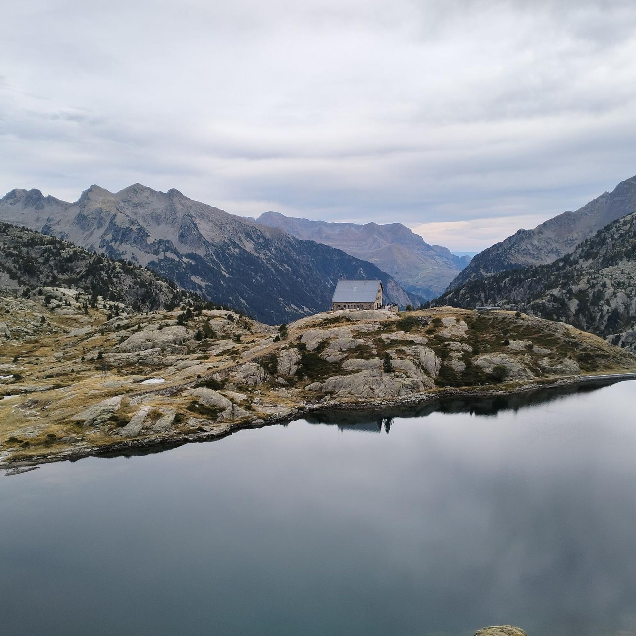
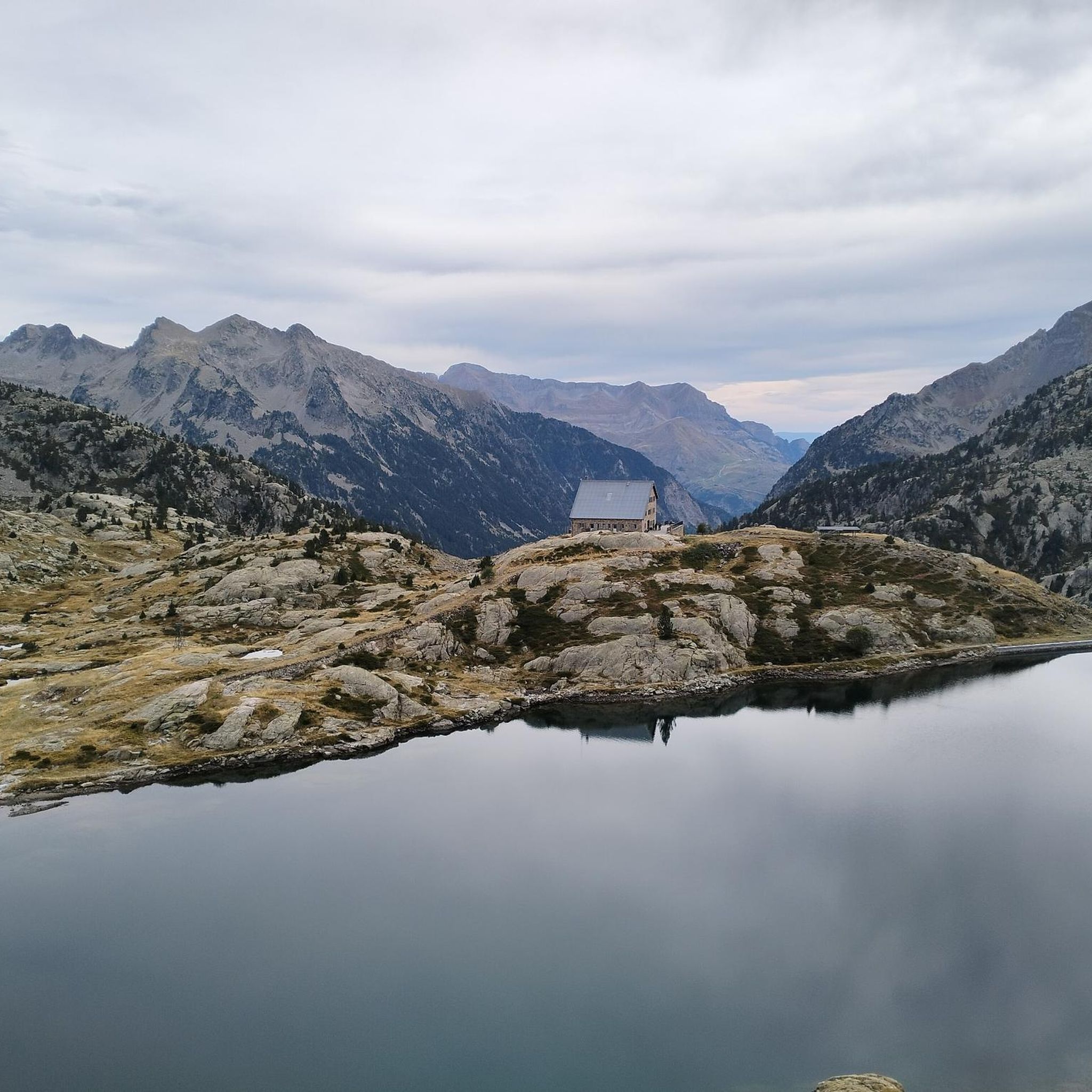
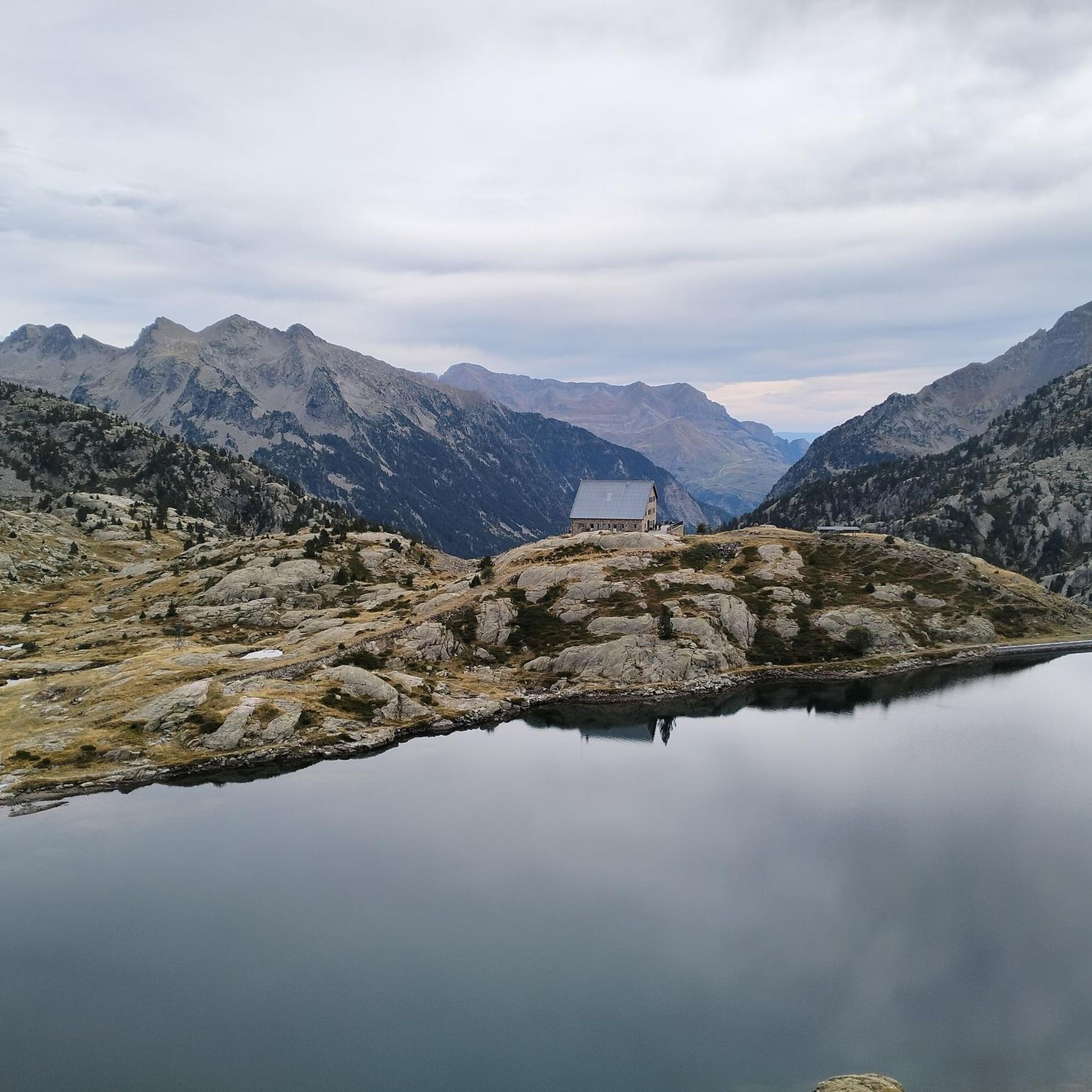
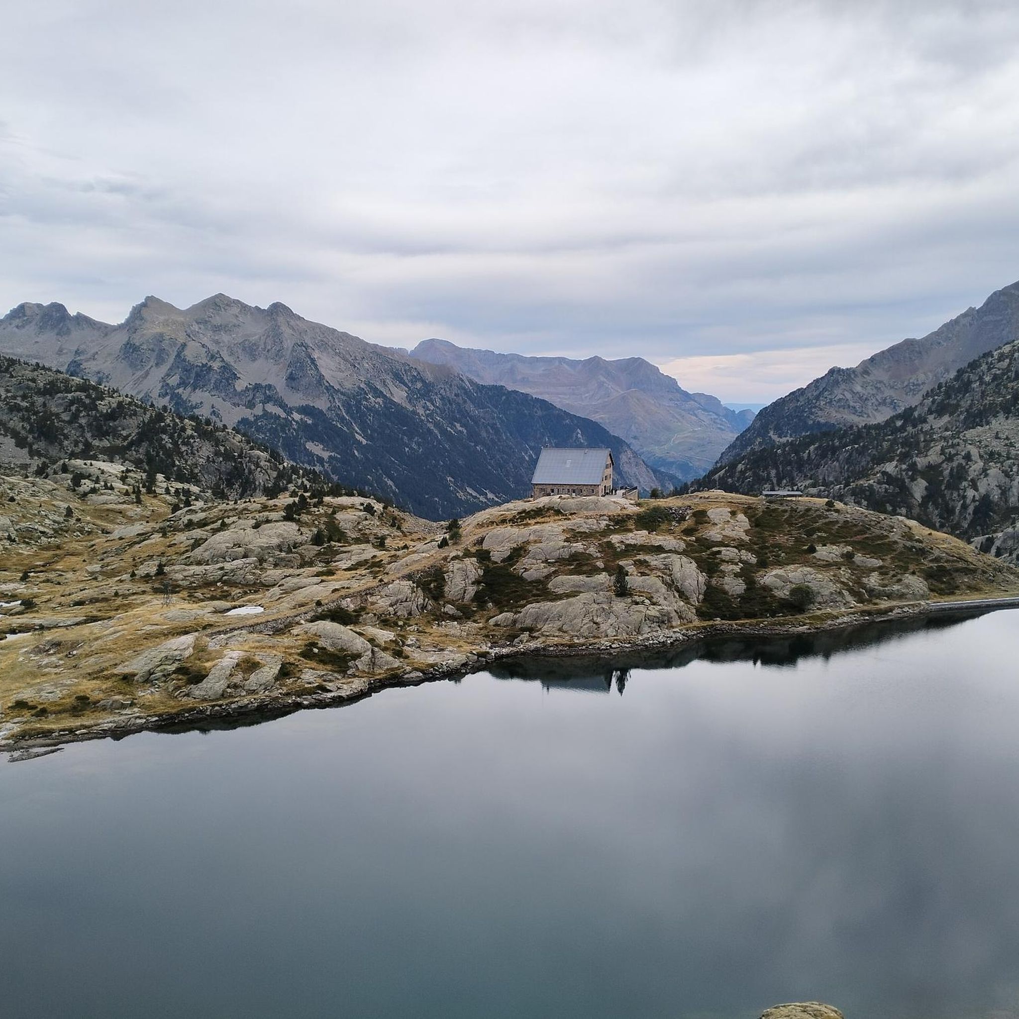
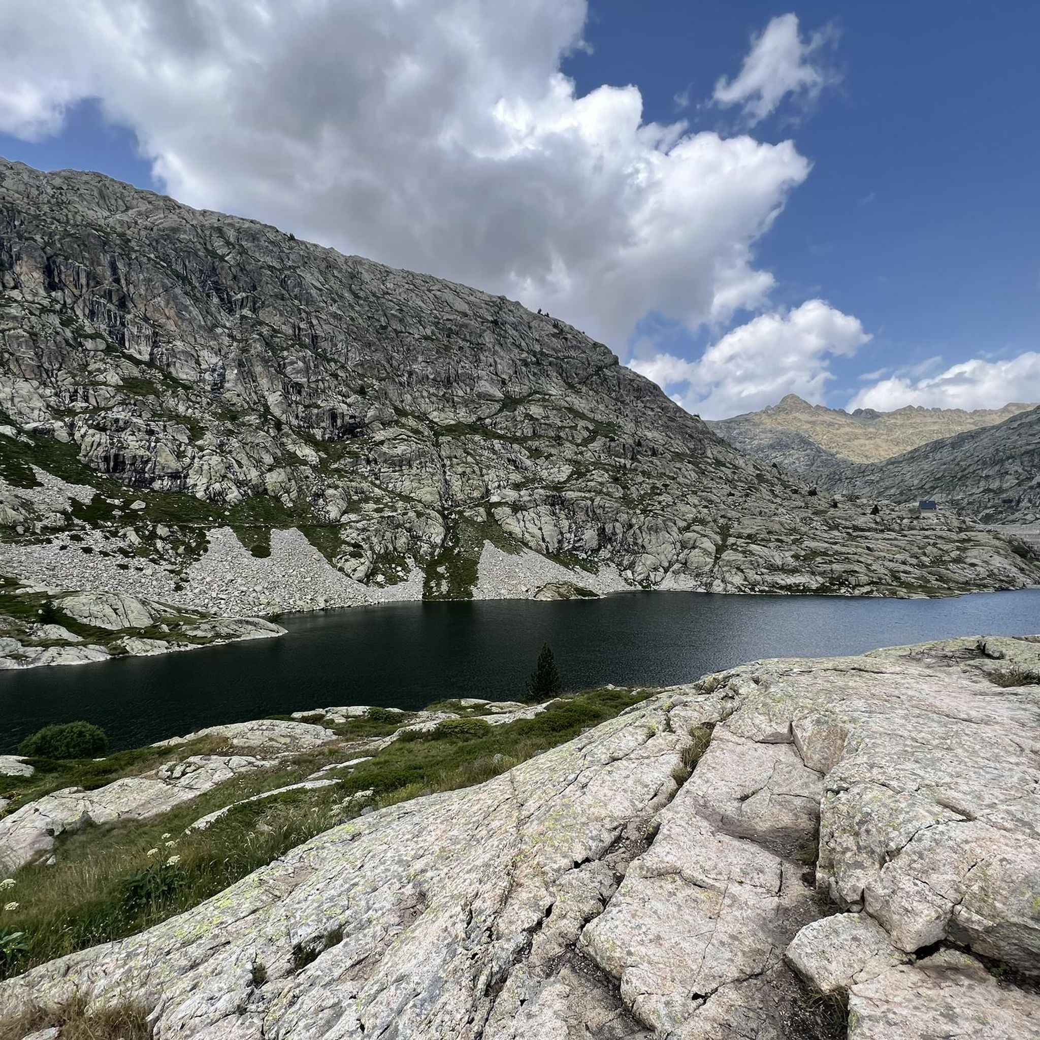
Gravel biking around Embalse de Bachimaña Alto offers routes through high-mountain landscapes within the Aragonese Pyrenees. The region features glacial lakes known as ibones, including the Embalse de Bachimaña Alto itself, and the nearby Ibones Azules. The terrain is characterized by rugged river valleys, such as the Caldarés river ravine, and is framed by peaks like Picos del Infierno. This diverse topography includes black pines, granite walls, and meadows, providing varied environments for gravel biking.
Best gravel bike trails around…
Last updated: June 28, 2026
6
riders
26.2km
02:05
560m
560m
Hard gravel ride. Very good fitness required. Mostly paved surfaces. Suitable for all skill levels.
5
riders
23.8km
02:10
910m
910m
Hard gravel ride. Very good fitness required. Mostly paved surfaces. Suitable for all skill levels.

Sign up for free
10
riders
38.3km
03:19
1,050m
1,050m
Hard gravel ride. Very good fitness required. Mostly paved surfaces. Suitable for all skill levels.
5
riders
20.9km
02:15
750m
750m
Hard gravel ride. Very good fitness required. Mostly paved surfaces. Suitable for all skill levels.
9
riders
29.2km
02:11
770m
770m
Hard gravel ride. Very good fitness required. Mostly paved surfaces. Suitable for all skill levels.
Our route recommendations are based on thousands of hikes, rides, and runs completed by other people on komoot.
Start today with a free account
Your next adventure awaits.
Login or Signup
Popular around Embalse de Bachimaña Alto
Tips from the Community


Coming from Bubal it is a steep short climb of a little more than 2 kilometres. Gradient is increasing towards the village and maximises somewhere at 15%
0
0


A 7.5km climb at an average of approximately 7%. Spectacular views of the valley. A perfect MTB trail with downhill trails of all difficulties crisscrossing the ascent. Also highly recommended for gravel biking, though be careful on the descent.
1
0
The perfect climb on a gravel bike. 45mm tires are recommended. There are sections with lots of loose rocks, and if you're not careful, you'll hit a flat. I don't understand why people go to the Alps looking for mountain passes when they have this at home.
2
0
Broken road for most of the route. Be careful on the descent.
0
0

On this road all the views are beautiful.
0
0
A beautiful lake below Musales Peak. You can climb from the Sarra reservoir along a trail to a hill. The views from the lake are spectacular.
0
0
Frequently Asked Questions
How many gravel bike trails are available around Embalse de Bachimaña Alto?
Currently, komoot features a selection of 5 gravel bike routes in the Embalse de Bachimaña Alto area. These routes are curated to showcase the stunning high-mountain landscapes of the Aragonese Pyrenees.
Are there any beginner-friendly gravel bike routes in Embalse de Bachimaña Alto?
The gravel bike routes currently listed for Embalse de Bachimaña Alto are generally rated as 'difficult' due to significant elevation changes and varied terrain. Riders should have a good level of fitness and experience with gravel biking in mountainous environments. For example, the Castiecho Viewpoint – Río Caldarés loop from Panticosa involves over 900 meters of ascent.
Are there circular gravel bike routes around Embalse de Bachimaña Alto?
Yes, many of the gravel bike routes in this region are designed as loops, allowing you to start and end at the same point. Examples include the Lanuza Reservoir – Sallent de Gállego loop from Panticosa and the Sallent de Gállego – Ibónciecho loop from Lanuza, offering varied distances and challenges.
What natural features or viewpoints can I expect to see on the gravel bike trails?
The routes around Embalse de Bachimaña Alto offer breathtaking views of pristine high-mountain lakes, known as 'ibones,' such as the Ibones Azules and Ibón de Arnales. You'll also encounter dramatic river valleys, cascading waterfalls like Cascada del Fraile, and majestic peaks such as Picos del Infierno. The terrain itself is diverse, featuring black pines, granite walls, and verdant meadows.
Are there any specific routes that feature waterfalls?
While specific routes aren't explicitly named for waterfalls, the region is rich with them. The landscape is dramatically shaped by cascading waterfalls and rugged river valleys, notably the ravine carved by the Caldarés river. Prominent waterfalls like Cascada del Fraile, Argualas Waterfall, and Salto de Tendenera Waterfall are often features along trails in the area, so you're likely to encounter them on many routes, such as those traversing the Caldarés valley.
What is the best time of year for gravel biking in Embalse de Bachimaña Alto?
Given its high-mountain location in the Aragonese Pyrenees, the best time for gravel biking is typically from late spring to early autumn (June to September). During these months, the weather is generally more stable, and trails are free of snow, offering optimal conditions to enjoy the stunning scenery. Always check local weather forecasts before heading out.
What kind of distances and elevation gains should I expect on these gravel routes?
The gravel routes in Embalse de Bachimaña Alto vary in length and elevation. For instance, the Lanuza Reservoir – Baños de Panticosa loop from Escarrilla covers approximately 29 km with over 760 meters of elevation gain, while the Sallent de Gállego – Ibónciecho loop from Sallent de Gállego is around 20 km with about 740 meters of ascent. Expect challenging climbs and rewarding descents.
Is public transport available to reach the gravel biking areas?
While specific public transport links directly to trailheads can be limited in high-mountain areas, nearby towns like Panticosa and Sallent de Gállego often serve as hubs. It's advisable to research local bus services or consider driving to access the starting points of the routes.
Are the gravel bike trails around Embalse de Bachimaña Alto suitable for families?
Due to the 'difficult' rating and significant elevation changes of the available routes, they are generally not recommended for young children or inexperienced family members. These trails are better suited for families with older, experienced riders who are comfortable with challenging mountain terrain.
Can I bring my dog on the gravel bike trails?
Many trails in the Pyrenees are dog-friendly, but it's crucial to keep your dog under control, especially in areas with livestock or wildlife. Always check local regulations for specific trails or protected areas, and ensure your dog is fit enough for the challenging terrain and distances involved.
Are there places to eat or stay near the gravel bike trails?
Yes, the towns surrounding Embalse de Bachimaña Alto, such as Panticosa, Sallent de Gállego, and Lanuza, offer various accommodation options, from hotels to guesthouses. You'll also find cafes, restaurants, and shops to refuel and relax after your ride. These towns serve as excellent bases for exploring the region.
Most popular routes around Embalse de Bachimaña Alto

Get inspired with the komoot mobile app


Explore more
Browse the best Gravel rides in other regions.
