The best walks and hikes around Bignicourt-Sur-Saulx
5.0
(9)
27
hikers
6
hikes
Hiking around Bignicourt-Sur-Saulx offers routes through the tranquil landscapes of the Marne department in France. The area features idyllic countryside with open fields, alongside the Saulx river. The region is characterized by gentle terrain, including parklands and forests, providing accessible outdoor experiences.
Best hiking trails around Bignicourt-Sur-Saulx
- The most popular hiking route is Bar-restaurant with terrace – Between the Chée and the Ornain loop from Étrepy, a 10.0 miles (16.2 km) trail that takes 4 hours 6 minutes to…
Last updated: May 20, 2026
5.0
(4)
6
hikers
16.6km
04:12
30m
30m
Moderate hike. Good fitness required. Easily-accessible paths. Suitable for all skill levels.
5.0
(2)
4
hikers
15.4km
03:54
20m
20m
Moderate hike. Good fitness required. Easily-accessible paths. Suitable for all skill levels.

Sign up for free
5.0
(1)
4
hikers
4.66km
01:13
40m
40m
Easy hike. Great for any fitness level. Easily-accessible paths. Suitable for all skill levels.
5.0
(1)
3
hikers
3.41km
00:55
40m
40m
Easy hike. Great for any fitness level. Easily-accessible paths. Suitable for all skill levels.
5
hikers
Easy hike. Great for any fitness level. Easily-accessible paths. Suitable for all skill levels.
Our route recommendations are based on thousands of hikes, rides, and runs completed by other people on komoot.
Start today with a free account
Your next adventure awaits.
Login or Signup
Popular around Bignicourt-Sur-Saulx

Tips from the Community

very beautiful place in the center of an equally pretty village
0
0

Of the Trois-Fontaines abbey founded in 1118, today only ruins remain. The Friends of the Trois-Fontaines sites association is responsible for their restoration, even if the remains belong to a private owner. The abbey church is located in a pretty park which invites you to take a walk.
2
0

The Abbey of Trois-Fontaines is a former Cistercian monastery founded in 1118. It has the most fabulous ruins. Meer info on https://www.abbayedetroisfontaines.com/
1
0

bar restaurant to gain strength 🙂
0
0

cool route, even wet along rivers and canal. the Ornain is very clean and makes you want to swim. sometimes technical path where the all suspended can be welcome
0
1

Here is the town hall of Pargny-sur-Saulx
2
0

The picturesque ruins are located in a beautiful park. The whole complex is privately owned, but was freely accessible during our visit, which surprised us very much. We loved this amazing place.
2
1
Frequently Asked Questions
What kind of terrain can I expect on hikes around Bignicourt-Sur-Saulx?
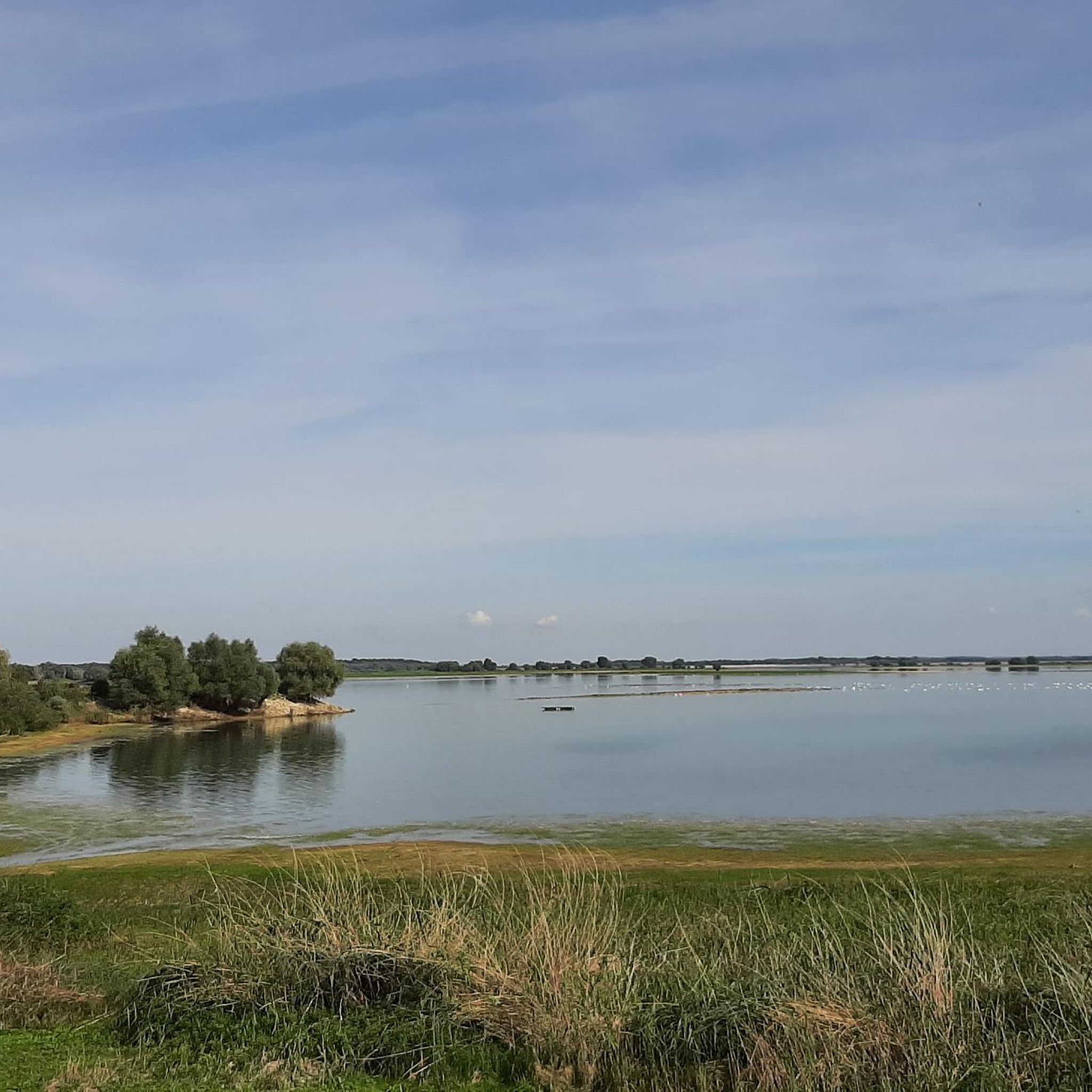
The hiking trails around Bignicourt-Sur-Saulx primarily feature idyllic countryside with open fields, river valleys, and local parklands. You'll find gentle terrain, including paths through forests and around ponds, offering accessible outdoor experiences.
Are there any easy hiking routes suitable for beginners or families?
Yes, Bignicourt-Sur-Saulx offers several easy routes. For example, the Étang de Pargny – Étang de Jean loop from Maurupt-le-Montois is an easy 5 km trail that takes about 1 hour 17 minutes. Another option is the Hiking loop from Trois-Fontaines-l'Abbaye, which is 3.4 km and takes less than an hour.
What are some notable landmarks or attractions to see while hiking in the area?
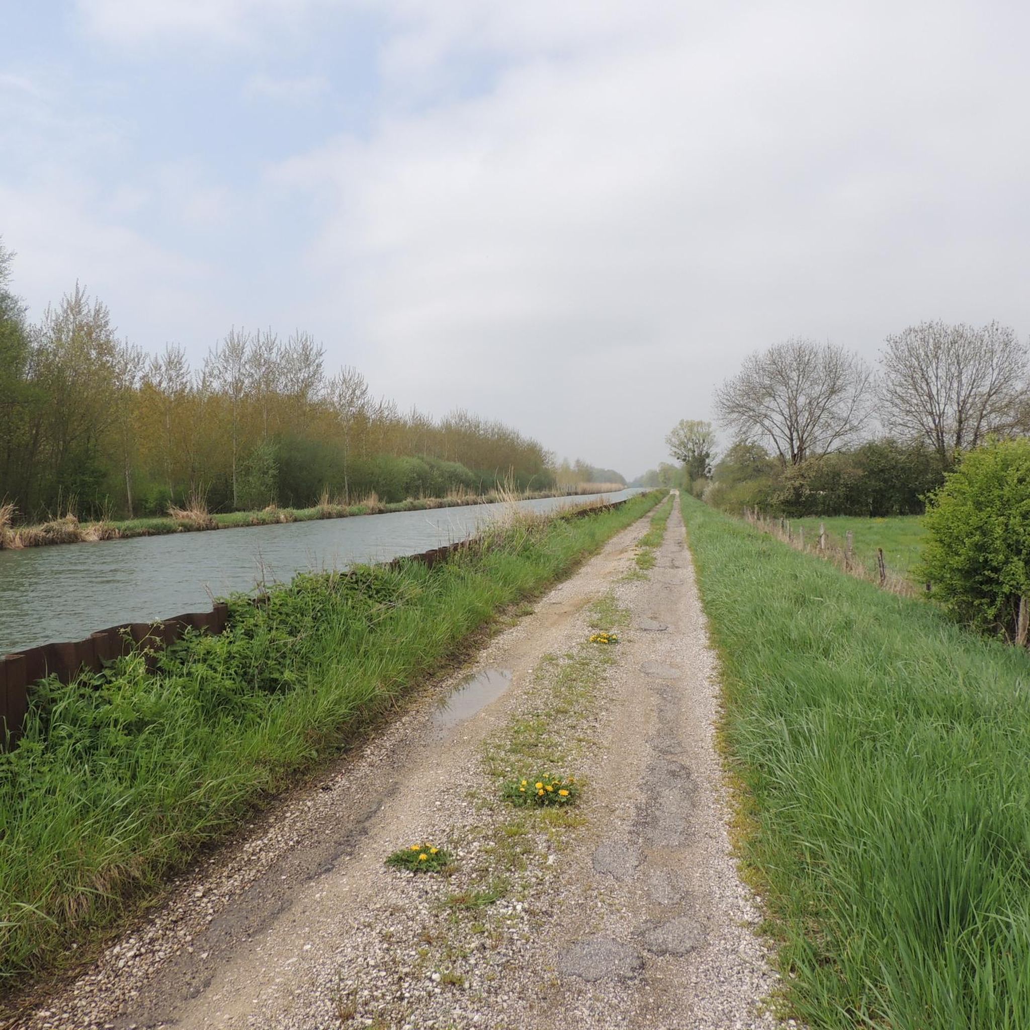
While exploring, you can encounter several interesting points. The Ruins of the Abbey of Trois-Fontaines are a significant historical site. You might also come across the Canal-Side Pathway or the Bignicourt Bridge over the canal, offering pleasant views.
Are there any circular hiking routes available?
Many of the routes in the area are designed as loops. For instance, the Bar-restaurant with terrace – Pargny-sur-Saulx Town Hall loop from Pargny-sur-Saulx is an easy 7.5 km circular trail. The Between the Chée and the Ornain loop from Heiltz-le-Maurupt is a moderate 13.5 km option.
What do other hikers say about the trails in Bignicourt-Sur-Saulx?
The trails around Bignicourt-Sur-Saulx are highly rated by the komoot community, with an average score of 4.1 stars from over 7 reviews. Hikers often appreciate the tranquil landscapes and the variety of routes suitable for different ability levels.
Is there parking available near the trailheads?
While specific parking details for each trailhead are best checked on individual route pages, Bignicourt-Sur-Saulx and surrounding villages typically offer public parking options. It's advisable to look for parking in the village centers or near known attractions before starting your hike.
Can I bring my dog on the hiking trails?
Generally, dogs are welcome on hiking trails in rural France, especially if kept on a leash. However, specific rules might apply in certain protected areas or private parklands. Always ensure your dog is under control and respect local signage regarding pets.
What is the best time of year to go hiking in Bignicourt-Sur-Saulx?
The Marne region, including Bignicourt-Sur-Saulx, is pleasant for hiking from spring through autumn. Spring brings blooming fields, while autumn offers beautiful foliage. Summer is also suitable, but it's always wise to check the local weather forecast, especially for warmer days.
Are there any longer, more challenging routes for experienced hikers?
For those seeking a longer, moderate challenge, the Bar-restaurant with terrace – Between the Chée and the Ornain loop from Étrepy is a good option. This route covers 16.2 km and takes approximately 4 hours 6 minutes to complete, exploring the countryside between the Chée and Ornain rivers.
Are there opportunities for nature observation, especially birds?
Yes, the Château de Bignicourt-sur-Saulx parkland, for example, is a shelter for the Bird Protection League (LPO). It emphasizes environmental preservation and includes nest boxes for various bird species, making it an appealing spot for nature observation.
What kind of facilities, like restaurants or cafes, are available near the hiking areas?
While Bignicourt-Sur-Saulx is a tranquil commune, nearby villages and towns in the Marne department offer various facilities. Some routes, like the Bar-restaurant with terrace – Between the Chée and the Ornain loop from Étrepy, even suggest a bar-restaurant as part of their name, indicating places where you might find refreshments.
Most popular attractions around Bignicourt-Sur-Saulx

Get inspired with the komoot mobile app


Explore more
Browse the best Hikes in other regions.
