The best gravel rides around Cayriech
14
riders
3
rides
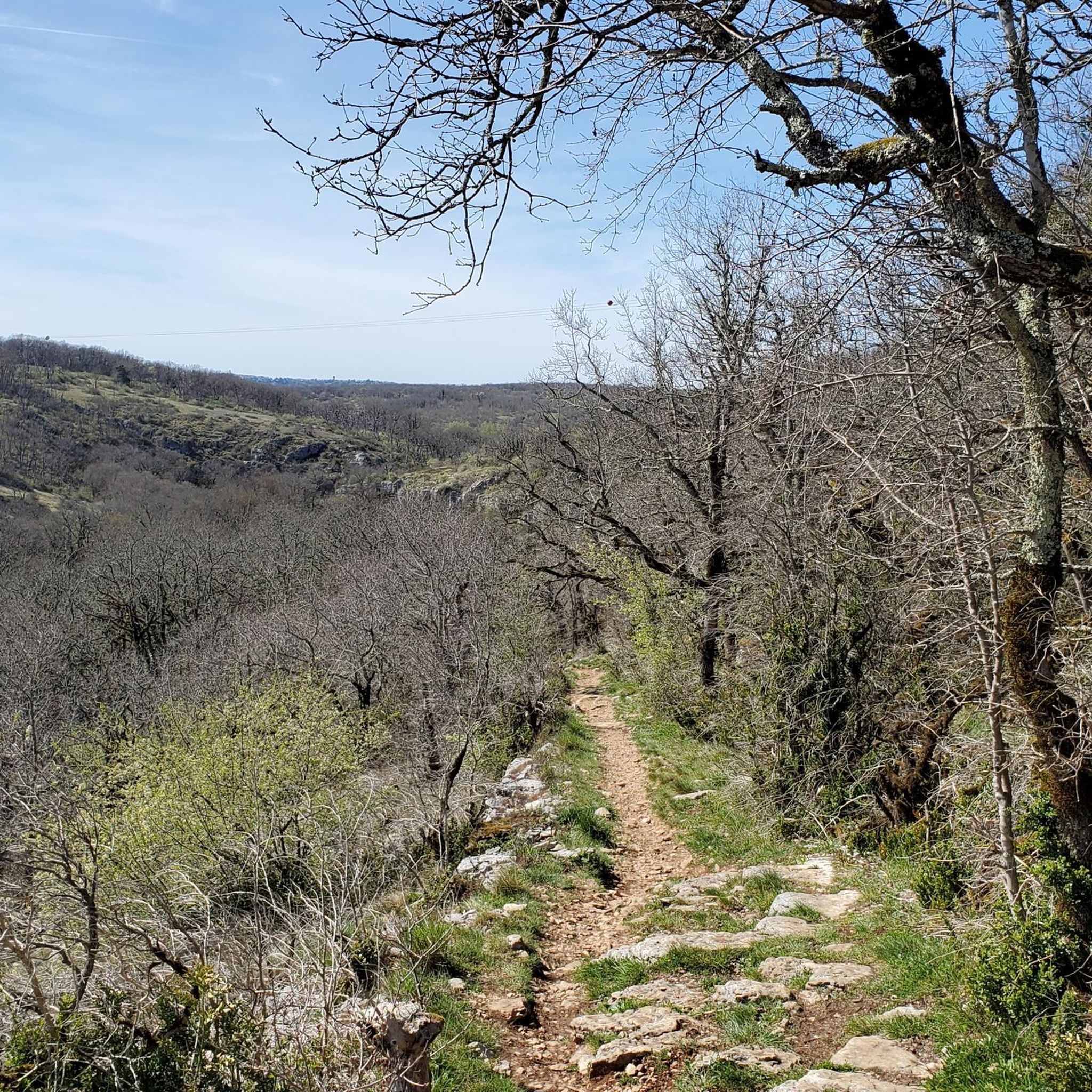
Gravel biking around Cayriech offers diverse landscapes, from the dramatic Gorges de l'Aveyron with its limestone cliffs to tranquil river valleys and ancient medieval packhorse trails. The region features varied terrain, including extensive gravel routes, singletrack paths, and flatter limestone plateaus cut by steep-sided "lost valleys." This area, part of a Natura 2000 zone, provides a mix of challenging and scenic routes for gravel cyclists.
Best gravel bike trails around Cayriech
- The most popular gravel bike trail is Paths between…
Last updated: May 17, 2026
6
riders
Hard gravel ride. Very good fitness required. You may need to push your bike for some segments of this route.
7
riders
Hard gravel ride. Very good fitness required. You may need to push your bike for some segments of this route.

Sign up for free
1
riders
15.0km
01:03
160m
160m
Moderate gravel ride. Good fitness required. Mostly paved surfaces. Suitable for all skill levels.
Our route recommendations are based on thousands of hikes, rides, and runs completed by other people on komoot.
Start today with a free account
Your next adventure awaits.
Login or Signup




Tips from the Community

These serene and peaceful ponds are home to many birds with wetlands and wooded areas. Moreover, a large colony of geese enjoyed it so much that they stayed there!
2
0
The park is a great place for running, with plenty of benches for breaks and waterside trails.
3
0
The park is a great place for hiking, with a children's playground, picnic areas, and rugged hiking trails this plan is best.
2
0
These serene and peaceful ponds are home to many birds with wetlands and wooded areas. Indeed, a large colony of geese enjoyed it and stayed there!
3
0

The paths around the lakes are easy to drive on and there are places to rest.
0
0
Frequently Asked Questions
How many gravel bike trails are available around Cayriech?
There are 5 gravel bike trails documented around Cayriech on komoot, offering a variety of experiences for cyclists.
What kind of terrain can I expect on gravel bike trails near Cayriech?
The terrain around Cayriech is diverse, featuring extensive gravel routes, singletrack paths, and ancient medieval packhorse trails. You'll encounter varied landscapes, from the dramatic Gorges de l'Aveyron with its limestone cliffs to tranquil river valleys and flatter limestone plateaus cut by steep-sided 'lost valleys'.
What is the typical difficulty level of gravel bike routes in the Cayriech area?
The gravel bike routes around Cayriech range from moderate to difficult. For example, the Cirque de Bone viewpoint – Joli chemin loop from Septfonds is rated moderate, while the Paths between quarry, river, airfield and dolmens – Monteils lakes loop from Lavaurette is considered difficult.
Are there any family-friendly gravel bike trails near Cayriech?
While many routes in the Gorges de l'Aveyron area can be challenging, the region also offers options for varying ability levels. For a shorter, moderate ride, consider the Bourel Spring loop from Septfonds, which is 15 km long and has less elevation gain, making it potentially suitable for families with some cycling experience.
What are some notable landmarks or viewpoints along the gravel bike trails?
Many trails offer scenic views and pass by interesting landmarks. The Cirque de Bone viewpoint – Joli chemin loop from Septfonds leads directly to the stunning Cirque of Bône, offering panoramic views of the Aveyron gorges. You might also encounter the Monteils lakes or the Parc de la Lère on other routes.
Are there any circular gravel bike routes available?
Yes, several routes are designed as loops. For instance, the popular Paths between quarry, river, airfield and dolmens – Parc de la Lère loop from Caussade is a circular trail exploring varied landscapes. The Bourel Spring loop from Septfonds is another circular option.
What is the best time of year for gravel biking in Cayriech?
The region is generally pleasant for outdoor activities. Spring and autumn offer mild temperatures and beautiful scenery, making them ideal for gravel biking. Summers can be warm, but early mornings or late afternoons are still enjoyable. Winters are generally mild, but conditions can vary.
Are there any dog-friendly cycling routes in the area?
While komoot routes don't specifically designate 'dog-friendly,' many trails in rural areas like Cayriech are accessible for dogs on a leash, especially on wider gravel paths. Always ensure your dog is well-behaved, on a leash, and that you carry water for them. Be mindful of local regulations and private land.
What do other gravel bikers enjoy most about gravel biking in Cayriech?
The area is highly rated by the komoot community, with an average score of 5.0 stars from 1 review. Cyclists often praise the varied terrain, the dramatic landscapes of the Gorges de l'Aveyron, and the opportunity to explore ancient medieval packhorse trails.
Are there places to eat or stay near the gravel bike trails?
Cayriech and the surrounding medieval towns like Montpezat-de-Quercy, Saint-Antonin-Noble-Val, and Bruniquel offer various amenities including cafes, restaurants, and accommodation options. These charming villages are excellent spots to refuel and relax after a ride.
What are the typical distances and elevation gains for gravel routes here?
Gravel routes around Cayriech vary significantly. Distances range from around 15 km, like the Bourel Spring loop from Septfonds with about 160m of elevation gain, to over 55 km, such as the Paths between quarry, river, airfield and dolmens – Monteils lakes loop from Lavaurette, which features over 500m of climbing.
Is public transport available to reach Cayriech with a bicycle?
While Cayriech itself is a small commune, the wider Tarn-et-Garonne department has some regional train services (TER) that may allow bicycles, often with specific conditions or at certain times. It's advisable to check the SNCF website or local transport providers for specific routes and bicycle policies when planning your trip.
Are there any specific permits required for cycling on gravel trails in the Tarn-et-Garonne region?
Generally, no specific permits are required for cycling on public trails and roads in France. However, always respect private property, follow local signage, and adhere to any regulations within protected areas like the Natura 2000 zone in the Gorges de l'Aveyron.
Most popular attractions around Cayriech

Get inspired with the komoot mobile app


Explore more
Browse the best Gravel rides in other regions.
