Top 7 Mountain Passes around Bad Überkingen
Best mountain passes around Bad Überkingen are found within the central foothills of Germany's Swabian Jura. This region features a karst landscape with steep escarpments and picturesque river valleys. The geological makeup includes limestone formations, caves, and tufa springs, providing unique exploration experiences. The municipality spans an elevation difference from 400 meters to 751 meters, offering scenic routes and elevated viewpoints.
Best mountain passes around Bad Überkingen
- The most popular mountain pass is Weiler Steige (Alfred Müller Street), a…
Last updated: June 25, 2026
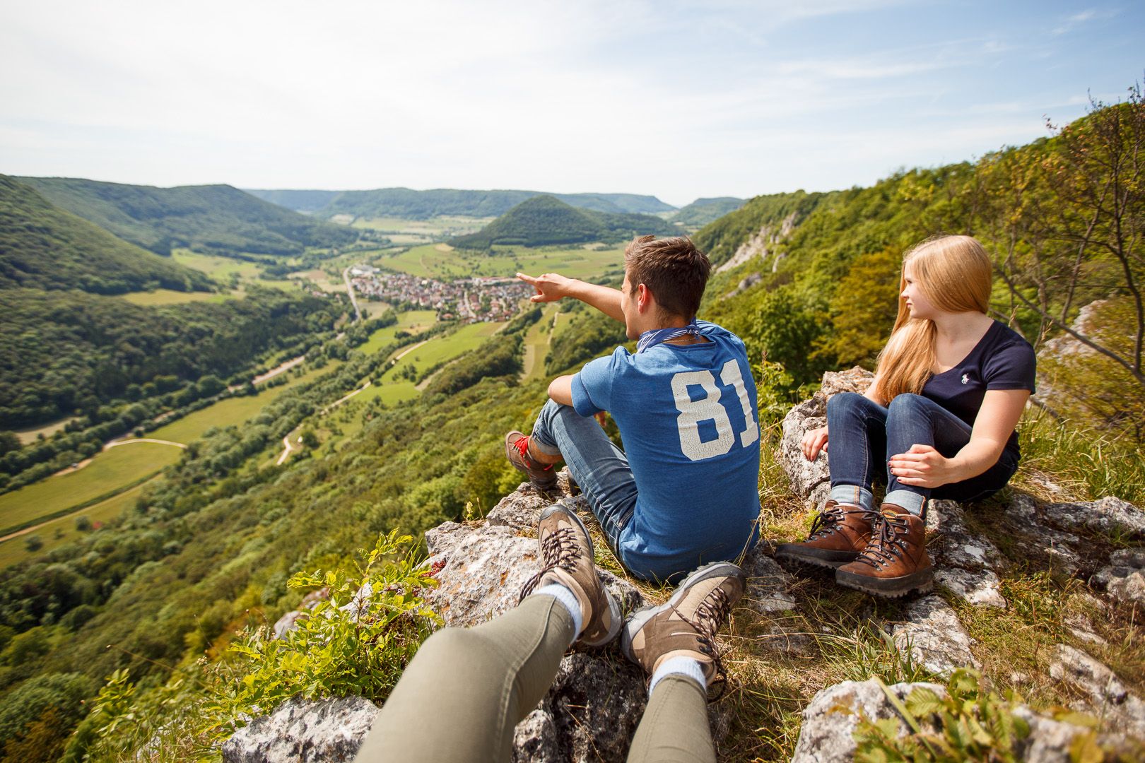
Kahlenstein Viewpoint
Highlight • Viewpoint
Translated by Google •
Tip by

Gairenbuckel Pass
Highlight • Mountain Pass
Translated by Google •
Tip by

Sign up now to discover places like this
Get recommendations on the best single tracks, peaks, & plenty of other exciting outdoor places.
Sign up for free
Ascent to Fuchsecksattel
Highlight (Segment) • Mountain Pass
Translated by Google •
Tip by

Weiler Steige (Alfred Müller Street)
Highlight (Segment) • Mountain Pass
Translated by Google •
Tip by

Drackensteiner Steige
Highlight (Segment) • Mountain Pass
Translated by Google •
Tip by

Sign up for free to discover even more mountain passes around Bad Überkingen.
Sign up for free
Already have an account?
Start today with a free account
Your next adventure awaits.
Login or Signup
Popular around Bad Überkingen
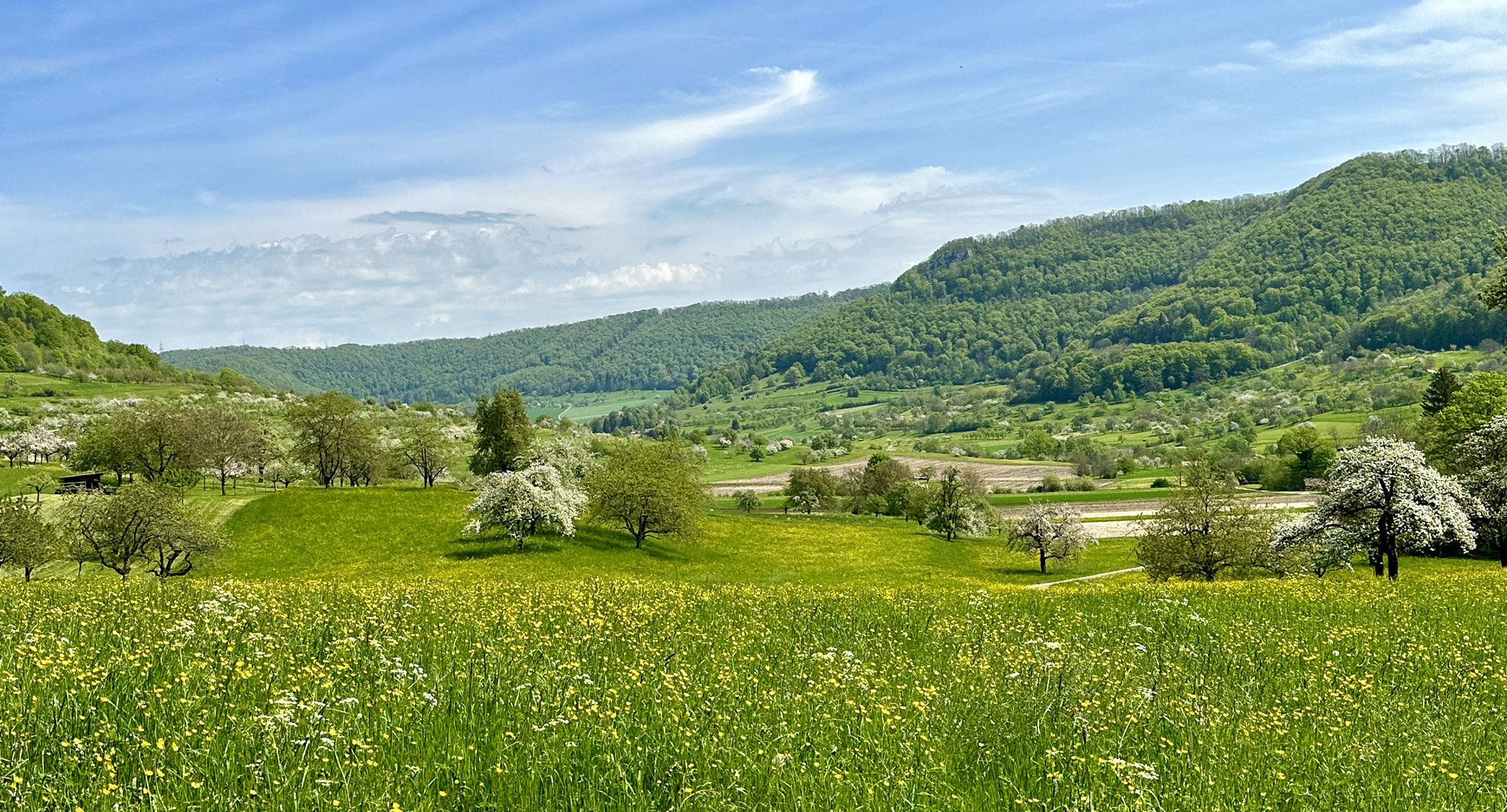
Blossom walks in the Swabian Alb
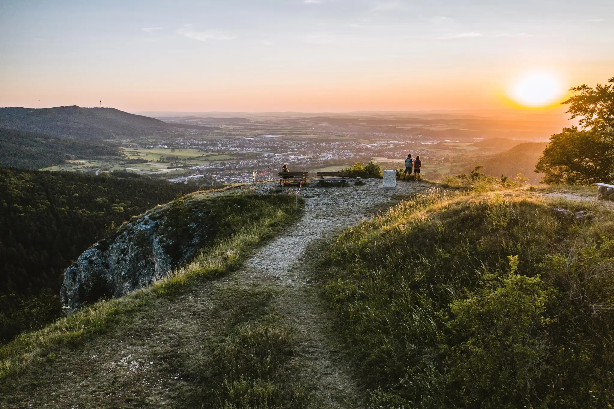
Discover the fascinating rocks and caves of Germany’s Swabian Alb
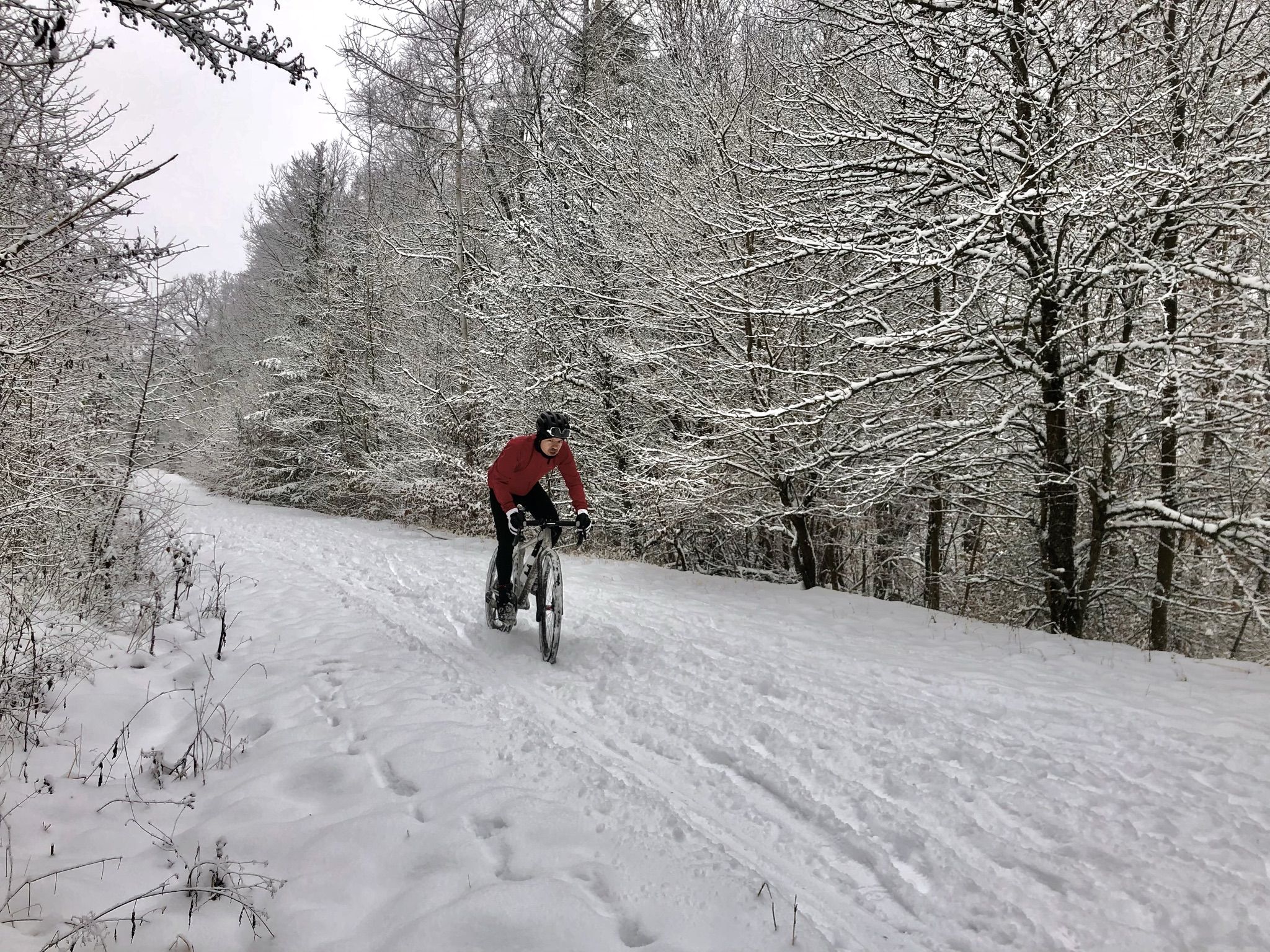
Winter.Gravel.Sweat – gravel and sauna fun in Germany’s Swabia
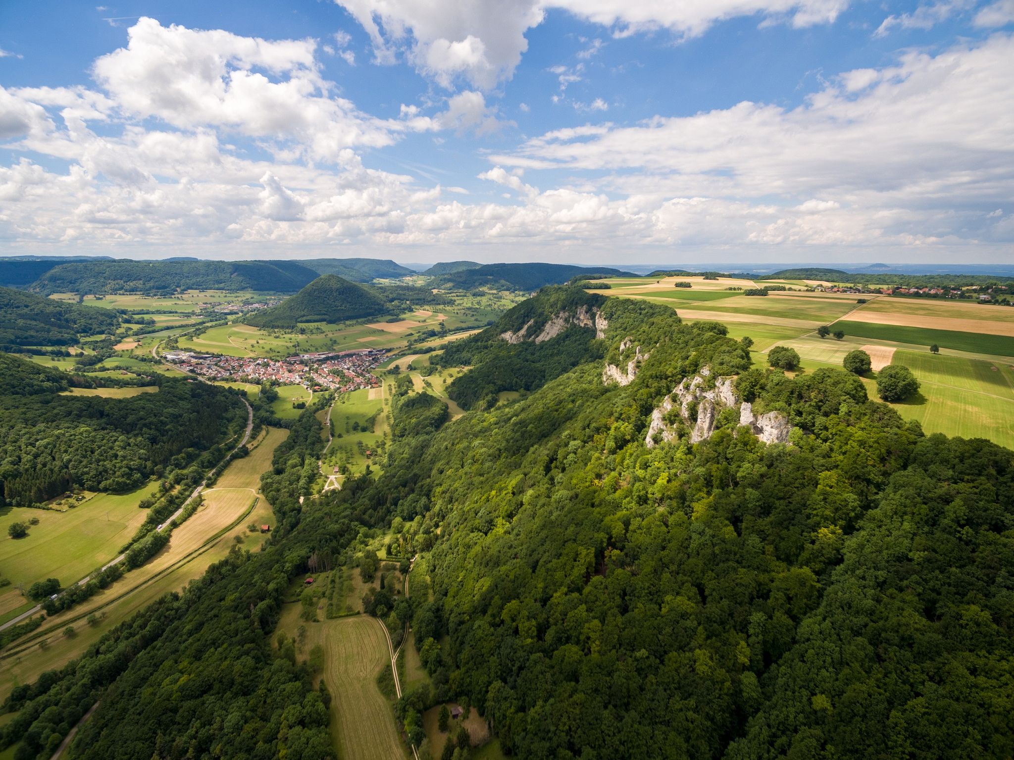
Fantastic ridge views – hiking on the Albtraufgaenger
Lion Trails in the Swabian Alb – 16 Tours around Göppingen
Hiking around Bad Überkingen
MTB Trails around Bad Überkingen

Gravel biking around Bad Überkingen
Road Cycling Routes around Bad Überkingen
Running Trails around Bad Überkingen
Other adventures around Bad Überkingen


Tips from the Community

There is an ice cream machine here and it is worth stopping.
0
0

relatively little traffic and nice climb, a bit steep
0
0

Wonderful, low-traffic descent to Bad Ditzenbach. With mountains all around, you roll along a stream into the valley on good asphalt - perfect for enjoying. Almost gives you an Allgäu feeling.
0
0
Wonderful, quiet descent towards Bad Ditzenbach. Mountains all around, along a small stream, it almost gives you an Allgäu feeling.
0
0

Great rock with several holes that are an experience for the whole family. Surefootedness is a must, then it's a great place to discover hiding places. Was already a popular place when I was a child.
7
0

The “Gairenbuckel” road crossing is located at 595 m above sea level. Only the last 150 m of the driveway from Reichenbach is very steep.
1
1

Beautiful and easy to ride climbs.
3
0
Frequently Asked Questions
What kind of landscape can I expect around Bad Überkingen?
The region around Bad Überkingen is characterized by the dramatic karst landscape of the Swabian Jura. You'll find steep escarpments, picturesque river valleys, limestone formations, caves, and tufa springs, offering a unique exploration experience with significant elevation changes and scenic routes.
Are there any viewpoints offering panoramic vistas of the area?
Yes, the region is known for its stunning viewpoints. A prominent one is the Kahlenstein Viewpoint, which provides magnificent views over the Filstal valley and Bad Überkingen. Additionally, the Albtrauf, the steep northwestern escarpment of the Swabian Jura, offers numerous elevated vantage points with expansive vistas.
What are some notable natural features to explore near Bad Überkingen?
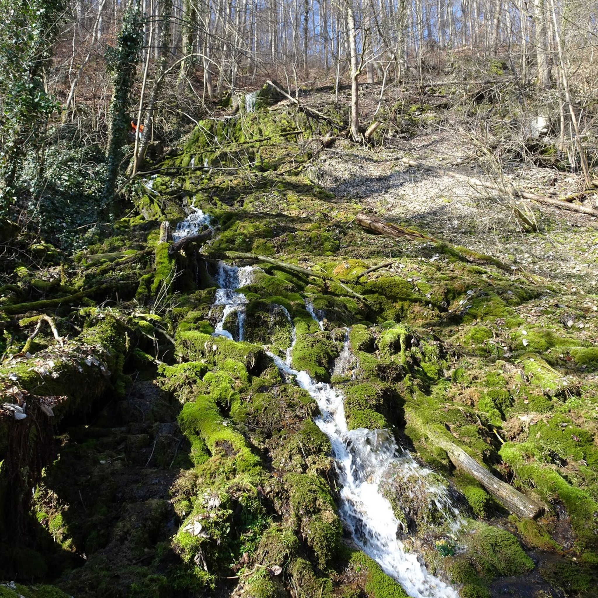
Beyond the general karst landscape, you can explore fascinating natural features like the tufa formations and small waterfalls, including the impressive Autal waterfall and the Brunnensteig Cave, found along the Forest and Water Path Bad Überkingen. The Kahlensteinhöhle (Kahlenstein Cave) is also a notable natural attraction.
What outdoor activities can I do near these mountain passes?
The area around Bad Überkingen is excellent for various outdoor activities. You can enjoy extensive hiking, including trails like the 'Märzenbechertraum in the Autal' or loops around the Hausener Wand. For cyclists, there are numerous road cycling routes, such as the 'Kurpark Bad Überkingen – Hausener Rock Face loop'.
Are there any historical sites or features along the routes?
Yes, the Geislinger Steige is recognized as a historical site. Additionally, the end of the climb at Weiler Steige (Alfred Müller Street) rewards you with a great view from the ruins of Helfenstein castle, offering a glimpse into the region's past.
What is the best time to visit Bad Überkingen for hiking and exploring?
While the region is beautiful year-round, spring is particularly recommended. During this season, the Autal valley transforms into a white sea of flowers with blooming spring snowflakes, making the Forest and Water Path Bad Überkingen especially worth visiting.
Are there any family-friendly routes or activities in the area?
The 'Forest and Water Path Bad Überkingen' is a popular circular hiking trail that offers a diverse experience suitable for families, with informational panels about local history, forest, and water. It's considered moderately difficult, making it accessible for many.
What do visitors enjoy most about the mountain passes and routes around Bad Überkingen?
Visitors frequently praise the stunning views, especially from spots like the Kahlenstein Viewpoint and the Helfenstein castle ruins near Weiler Steige. The diverse landscapes, challenging ascents, and the unique geological features like caves and tufa springs are also highly appreciated.
How challenging are the ascents in the Bad Überkingen area?
The difficulty varies. For instance, the Gairenbuckel Pass features an extremely steep climb from Schlat with an 18% gradient. In contrast, the Ascent to Fuchsecksattel from Bad Ditzenbach is a more gentle climb, conquering 140 meters over 5 km, making for a very nice driving experience.
Are there options for mountain bikers away from traffic?
Yes, for mountain bikers, the Weiler Steige (Alfred Müller Street) offers alternative paths away from traffic, allowing for a more serene riding experience while still enjoying the beautiful trails and bends.
What is the highest point in the municipal area of Bad Überkingen?
The highest point in the municipal area is Michelsberg, reaching an elevation of 751 meters. While not a traditional pass, areas around such peaks typically provide elevated perspectives and challenging hikes.
Most popular routes around Bad Überkingen
Most popular attractions around Bad Überkingen

Get inspired with the komoot mobile app


Explore more
See even more epic mountain passes by checking out these guides around Bad Überkingen:
