Östlicher Neubäuer Forst
Östlicher Neubäuer Forst
Top 20 Natural Monuments around Östlicher Neubäuer Forst
Best natural monuments around Östlicher Neubäuer Forst are found within the broader Bavarian Forest region, a significant wooded, low-mountain area in Bavaria, Germany. This area is characterized by diverse natural landscapes, including dense forests, river valleys, and unique geological features. The region offers insights into nearly untouched wilderness, with opportunities to observe diverse flora and fauna.
Best natural monuments around Östlicher Neubäuer Forst
- The most popular natural monuments is Weichselbrunner Weiher Wetland and Fern Woods, a forest known for…
Last updated: June 25, 2026
Weichselbrunner Weiher Nature Reserve
Highlight • Lake
Translated by Google •
Tip by

Breitenbrucker Weiher
Highlight • Lake
This beautiful 19 hectare pond, formerly a “stately” pond, was created before the Thirty Years' War. The dam in the swampy area was laboriously constructed using clay and …
Translated by Google •
Tip by

Sign up now to discover places like this
Get recommendations on the best single tracks, peaks, & plenty of other exciting outdoor places.
Sign up for free
Hippolit Rock
Highlight • Forest
Translated by Google •
Tip by
Weichselbrunner Weiher Wetland and Fern Woods
Highlight • Forest
Translated by Google •
Tip by

Rechen Spring
Highlight • Natural Monument
The Rechenquelle (Rechnung Spring) was dug by the railway for the signalman who lived not far from here. It was redesigned in 1977 by the municipality …
Translated by Google •
Tip by
Sign up for free to discover even more natural monuments around Östlicher Neubäuer Forst.
Sign up for free
Already have an account?
Start today with a free account
Your next adventure awaits.
Login or Signup
Popular around Östlicher Neubäuer Forst

Tips from the Community

The Rechenquelle (Rechnung Spring) The Rechenquelle (Rechnung Spring) was dug by the railway for the signalman who lived not far from here. It was redesigned in 1977 by the municipality of Bodenwöhr and the responsible forestry office (which also included the Weichselbrunn pond and the forest). The name of the spring refers to a wooden rake, which was intended to prevent pike migrating upstream in the spring from being caught by upstream residents. Source: Information board
2
0

The area around Lake Hammersee and the adjacent nature reserves Weichselbrunner and Warbrucker Weiher are best discovered on one of the well-signposted circular hiking trails that lead through the Bodenwöhr municipal area.
1
0
The Rechenquelle is a natural drinking water source in the forest at the Hammersee in Bodenwöhr in the Upper Palatinate Lake District.
1
0

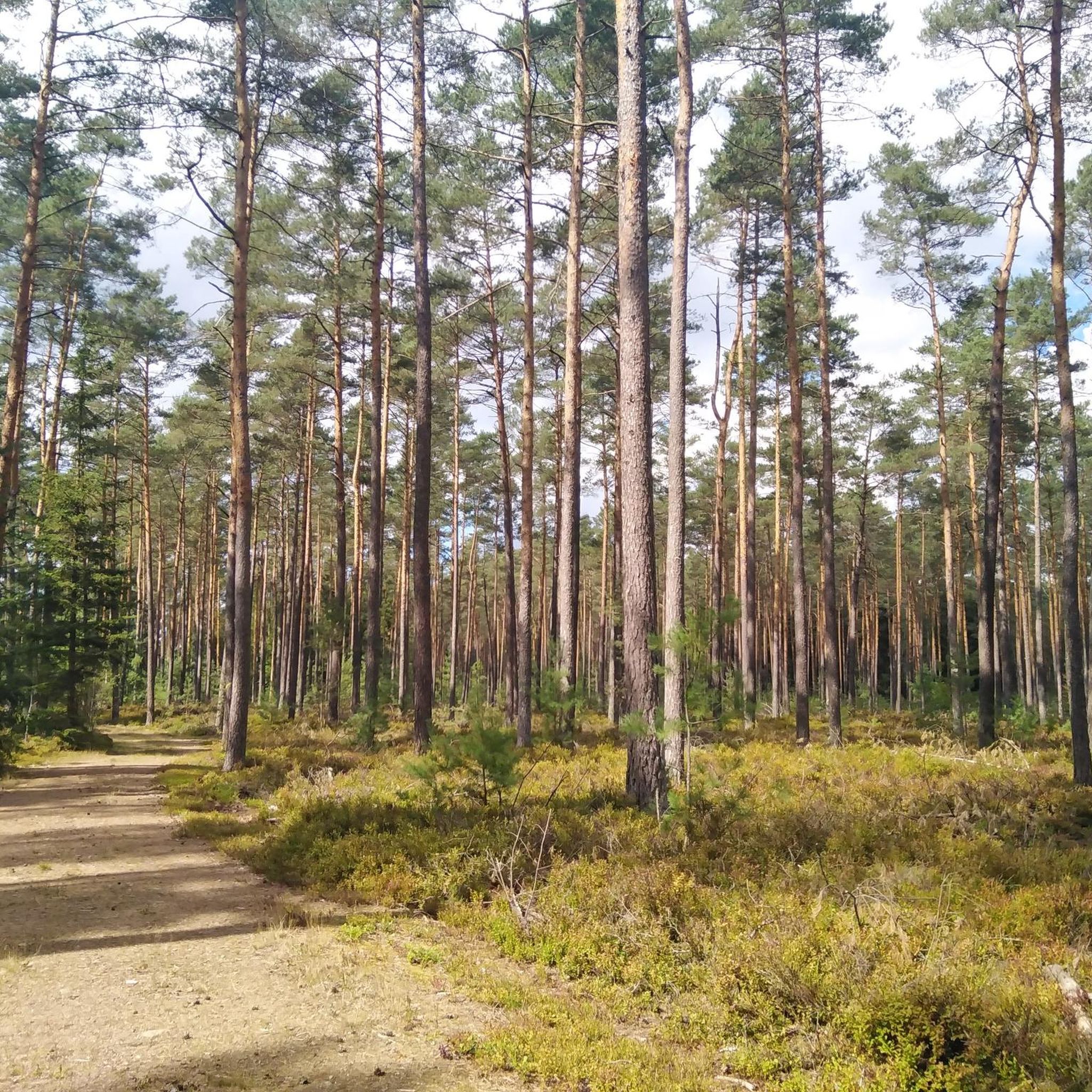
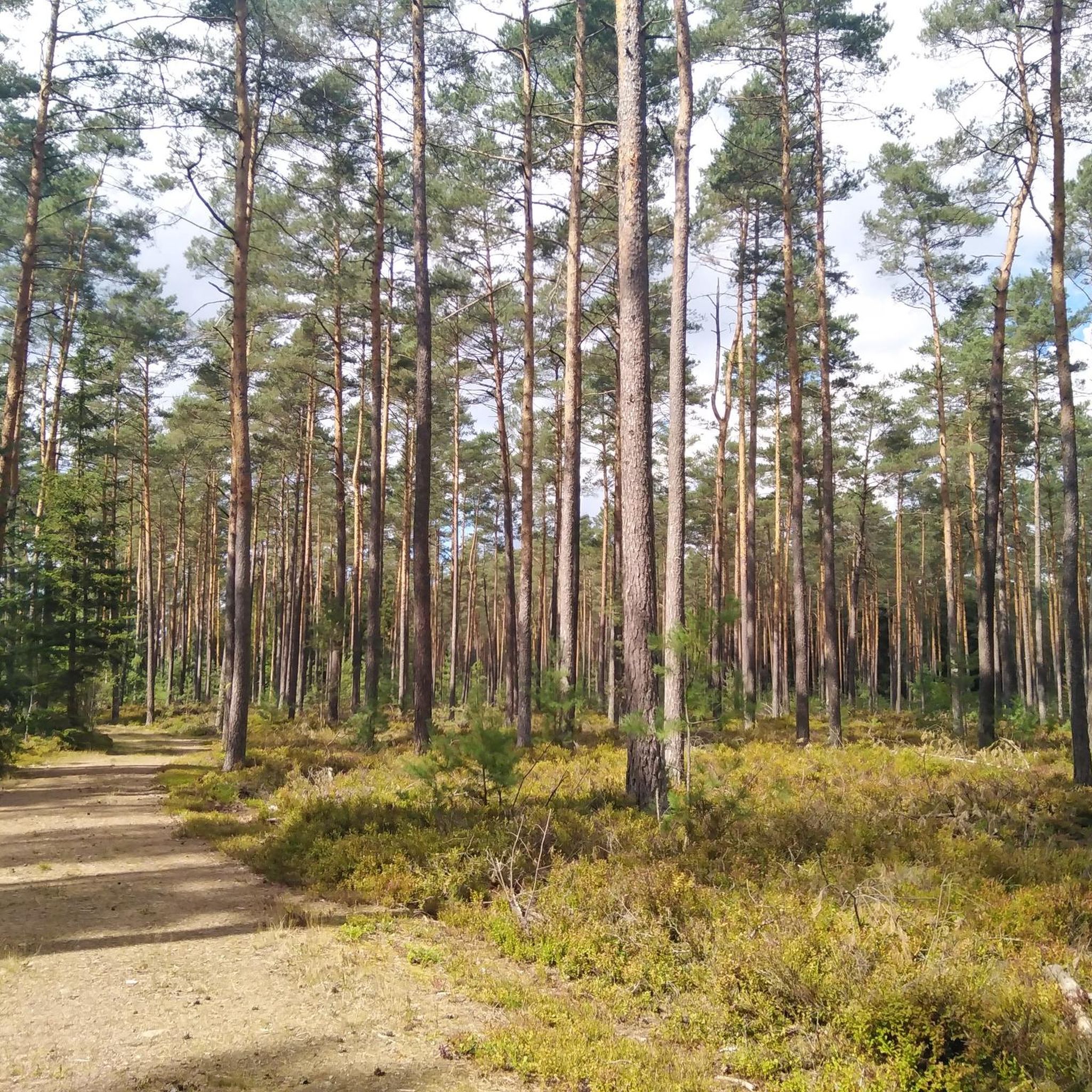
Swamp landscape and quiet location, great path
0
0

There is a beautiful hiking trail around the Hammersee right on the shore
1
0

I really liked the very natural and idyllic little path around the Weichselbrunn pond.
1
0
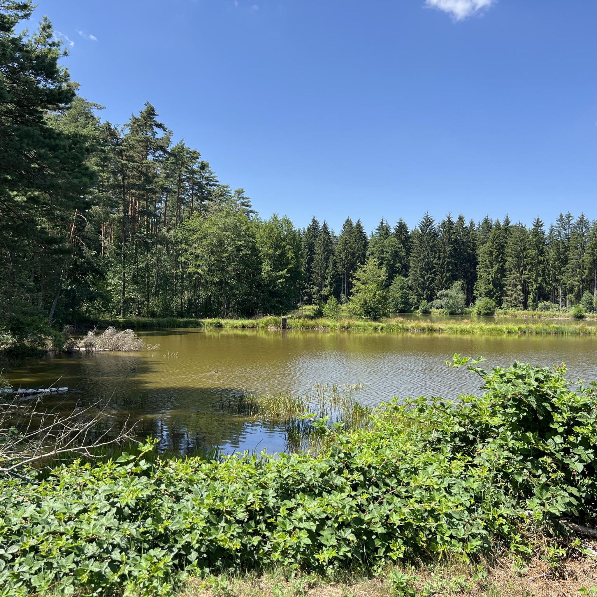
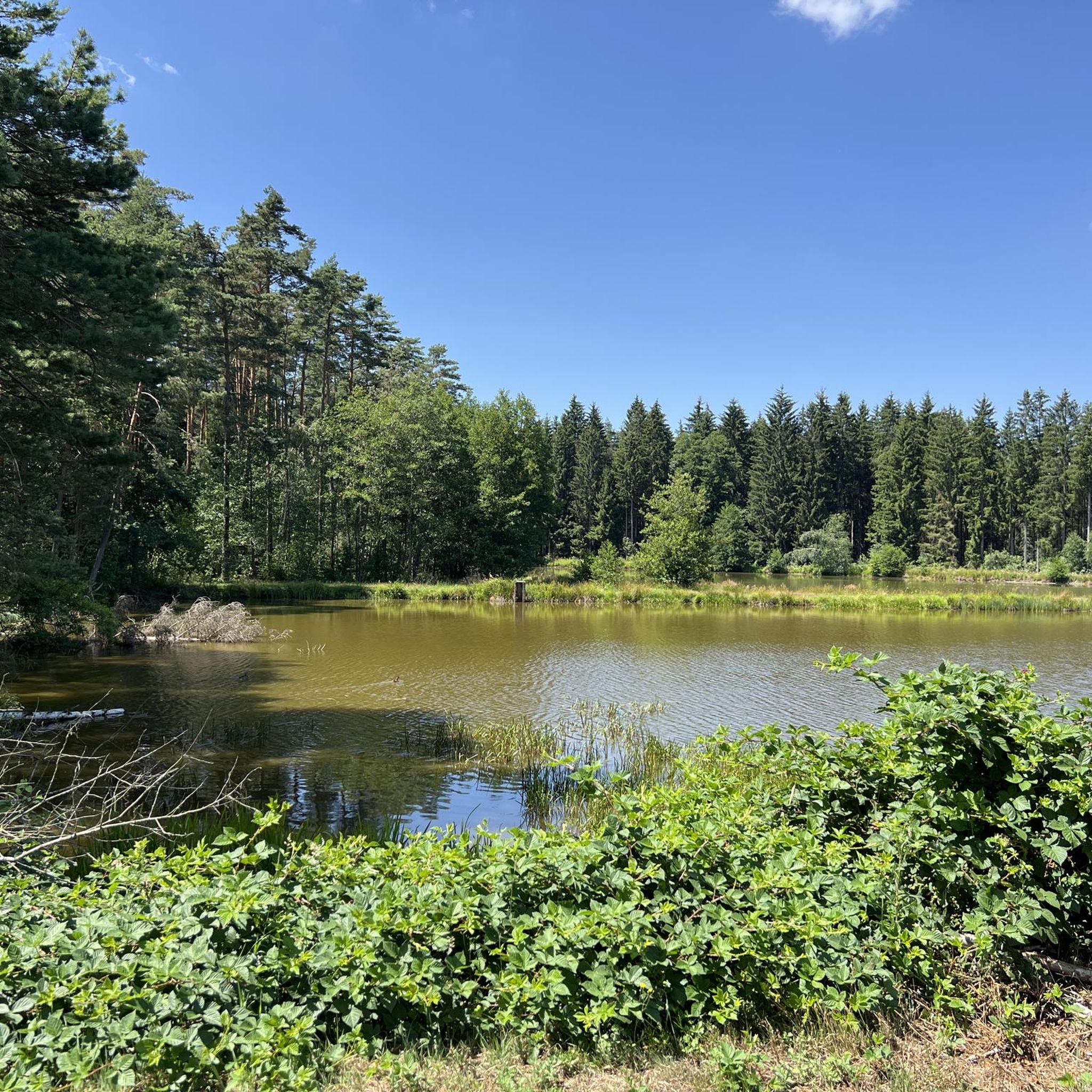
Breitenbruck pond This beautiful 19 hectare pond, formerly a “stately” pond, was created before the Thirty Years' War. The dam in the swampy area was laboriously constructed using clay and fill. In 1646 he was subordinate to the Electoral Hoffischamt Amberg and was released every two years. Carp, pike, nerflings and crabs were planted. They were sold to the court kitchen, innkeepers (as far away as Regensburg), and some went to the Capuchins as alms as “Lenten fish”. The population of ducks and wild geese was also hunted through falconry. In 1755 the electoral court sold the pond by inheritance to the brewer Vetter and the innkeeper von Penting. In 1838, the Bodenwöhr BHS-Hüttenwerk mining authority bought the Breitenbrucker Weiher from the brewer Vetter zu Egelsried for 3,000 guilders. The clay from the pond was used to fill the hammer pond. The pond is on clay, has little lime and is 1-2.5 meters deep. The water flows in via the silver ditch (from the pile) and from the moor. The pond was purchased by the Bavarian State Forestry in 1994. Because of its high ecological value, it was declared a natural forest reserve in 1995. In 2020, restoration work was necessary due to beaver damage to the dam. Source: information board
2
0
Calculation source, with a nice information board
1
0
Frequently Asked Questions
What are some of the most popular natural monuments to visit around Östlicher Neubäuer Forst?
Visitors frequently enjoy the unique, jungle-like biotope of Weichselbrunner Weiher Wetland and Fern Woods. Another favorite is the Weichselbrunner Weiher Nature Reserve, which features a 3 km circular path through protected pine forests. For those seeking views and historical elements, Hippolit Rock offers a path through boulders leading to a ruin with scenic vistas.
Are there family-friendly natural monuments in the area?
Yes, several natural monuments are suitable for families. The Weichselbrunner Weiher Nature Reserve offers an easy 3 km circular path. The Weichselbrunner Weiher Wetland and Fern Woods is also considered family-friendly, providing an immersive nature experience. Additionally, Breitenbrucker Weiher is a beautiful pond with historical significance, ideal for a relaxed outing.
What types of natural features can I expect to see in the Östlicher Neubäuer Forst region?
The region, part of the broader Bavarian Forest, is rich in diverse natural features. You'll find extensive pine forests, significant wetland areas like the Weichselbrunner Weiher Wetland and Fern Woods, and serene lakes such as Weichselbrunner Weiher Nature Reserve and Breitenbrucker Weiher. There are also unique geological formations, including rock formations like Hippolit Rock, and natural springs like the Rechen Spring.
What outdoor activities can I do near these natural monuments?
The area offers a variety of outdoor activities. You can explore numerous hiking trails, with options ranging from easy to moderate, such as the Lake Neubäuer loop. Cycling is also popular, with routes like the Regen River Bridge in Roding loop. For mountain biking enthusiasts, there are trails leading to places like Kürnburg Castle Ruins. You can find more details on these activities in the komoot guides for Hiking around Östlicher Neubäuer Forst, Cycling around Östlicher Neubäuer Forst, and MTB Trails around Östlicher Neubäuer Forst.
Are there specific hiking trails around the natural monuments?
Yes, for instance, the Weichselbrunner Weiher Nature Reserve features an approximately 3 km long circular path. The path to Hippolit Rock and its castle ruins is also well-signposted. For more extensive hiking options, you can refer to the komoot guide for Hiking around Östlicher Neubäuer Forst, which lists routes like the Lake Neubäuer loop.
What makes the Weichselbrunner Weiher Wetland and Fern Woods special?
The Weichselbrunner Weiher Wetland and Fern Woods is renowned for its unique, jungle-like biotope, which is uncommon in Germany. It offers an experience of pure, untouched nature and showcases diverse flora and fauna throughout the year, making it a captivating destination for nature lovers.
Can I find any natural drinking water sources in the area?
Yes, the Rechen Spring is a natural drinking water source located in the forest near the Hammersee in Bodenwöhr. It has a historical background and was redesigned, offering a refreshing stop for visitors.
What is the significance of Breitenbrucker Weiher?
The Breitenbrucker Weiher is a beautiful 19-hectare pond with a rich history dating back before the Thirty Years' War. It was once a 'stately' pond used for fishing and hunting. Today, it is recognized for its high ecological value and was declared a natural forest reserve in 1995, protecting its unique ecosystem.
What do visitors particularly enjoy about the natural monuments in this region?
Visitors frequently highlight the sense of untouched wilderness and the diverse natural landscapes. They appreciate the opportunity to observe varied flora and fauna, the peaceful atmosphere of places like the Weichselbrunner Weiher, and the scenic views from spots like Hippolit Rock. The well-maintained paths and the immersive nature experiences are also highly valued.
Are there any unique geological formations or features to explore?
Beyond the general forest and lake landscapes, the region offers interesting geological features. Hippolit Rock is a prime example, featuring a path that winds through impressive stones and boulders. The broader Bavarian Forest also includes areas with unique raised bogs and ancient, gnarled trees in high-altitude clearings known as 'Schachten'.
What is the best time of year to visit the natural monuments around Östlicher Neubäuer Forst?
The natural monuments in the broader Bavarian Forest region offer beauty throughout the year. Spring brings lush greenery and blooming flora, while summer is ideal for hiking and enjoying the lakes. Autumn transforms the forests with vibrant colors, and even winter offers serene, snow-covered landscapes for those seeking tranquility. The Weichselbrunner Weiher Wetland and Fern Woods, for example, is noted for its diverse nature no matter the season.
Is the Bavarian Forest National Park part of this region's natural monuments?
While Östlicher Neubäuer Forst itself was a former unincorporated area, it is situated within the larger natural region of the Bavarian Forest. The Bavarian Forest National Park, Germany's first national park, is a significant feature of this broader region. It offers extensive untouched wilderness, dense forests, and diverse ecosystems, providing a grander scale of natural monument experience in close proximity.
Most popular routes around Östlicher Neubäuer Forst
Most popular attractions around Östlicher Neubäuer Forst

Get inspired with the komoot mobile app


Explore more
Extend your search for the best caves by checking out these guides of the top ones around Östlicher Neubäuer Forst:
