Top 20 Natural Monuments around Südliches Anhalt
Best natural monuments around Südliches Anhalt are situated within a region of Saxony-Anhalt known for its diverse natural landscapes. The area features a variety of natural settings, including floodplains, forests, and river valleys, often encompassed by larger nature parks. These natural monuments offer opportunities for outdoor activities and nature observation. The region's terrain, shaped by geological processes, provides varied habitats for local flora and fauna.
Best natural monuments around Südliches Anhalt
- The most popular natural monuments is Georgium Park,…
Last updated: June 25, 2026
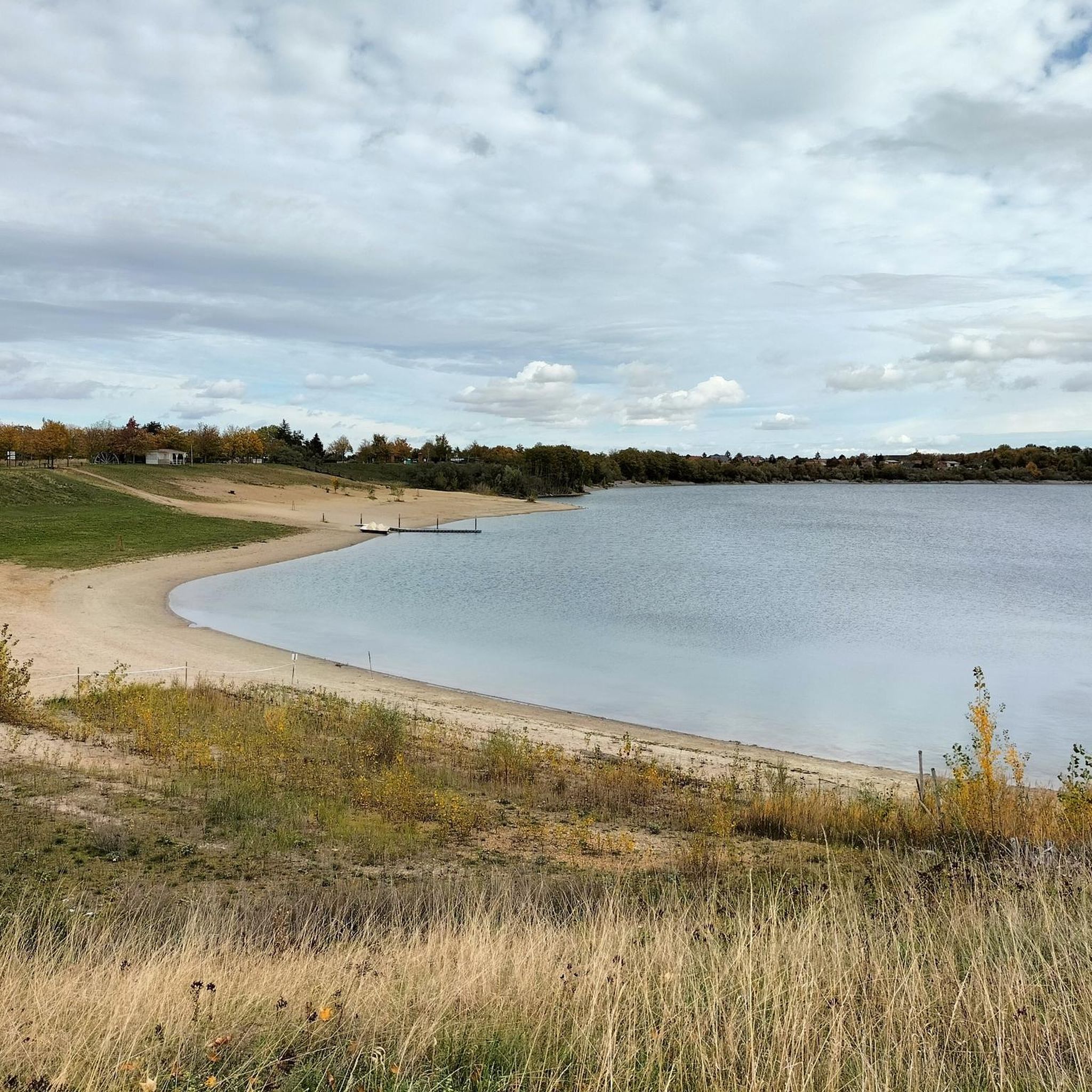
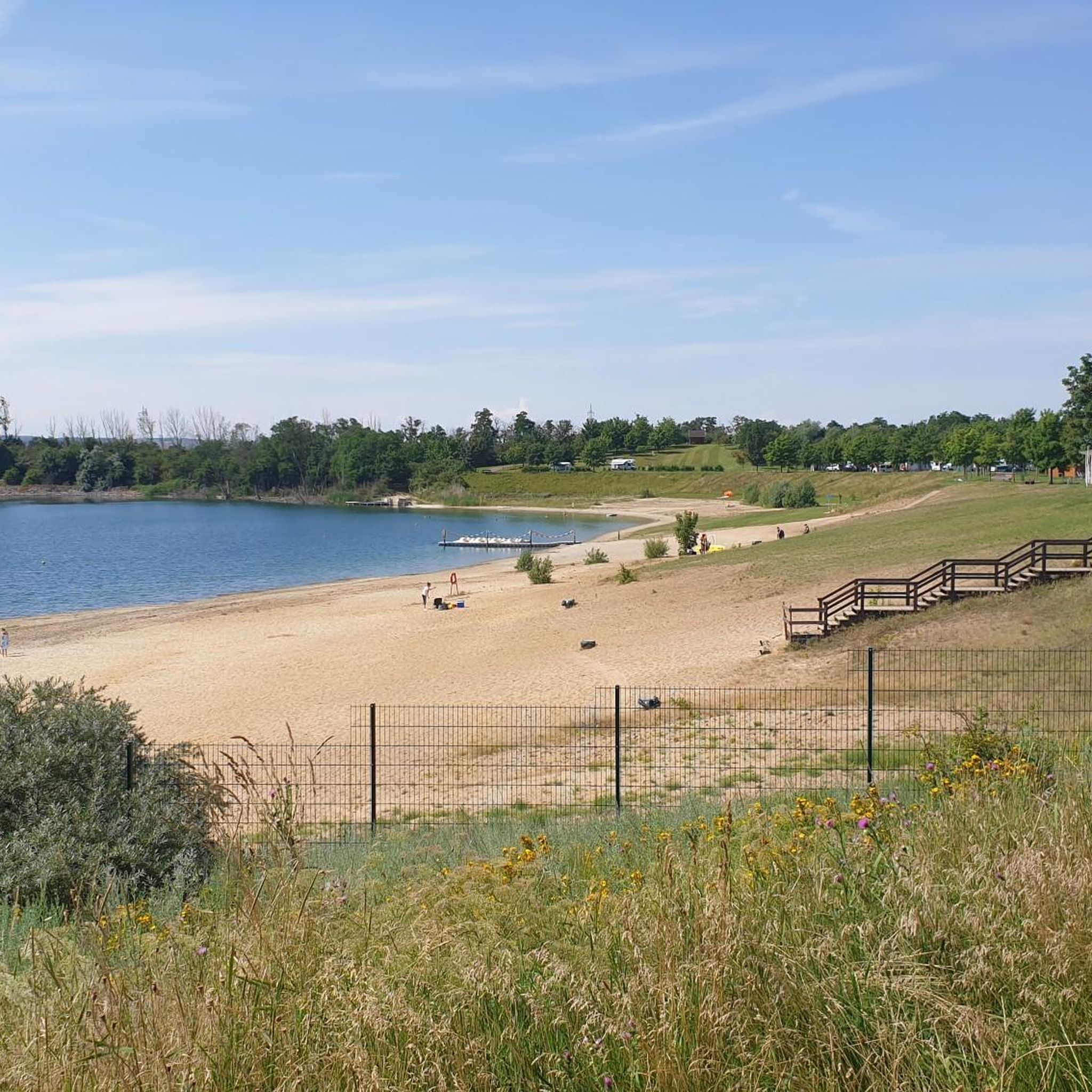
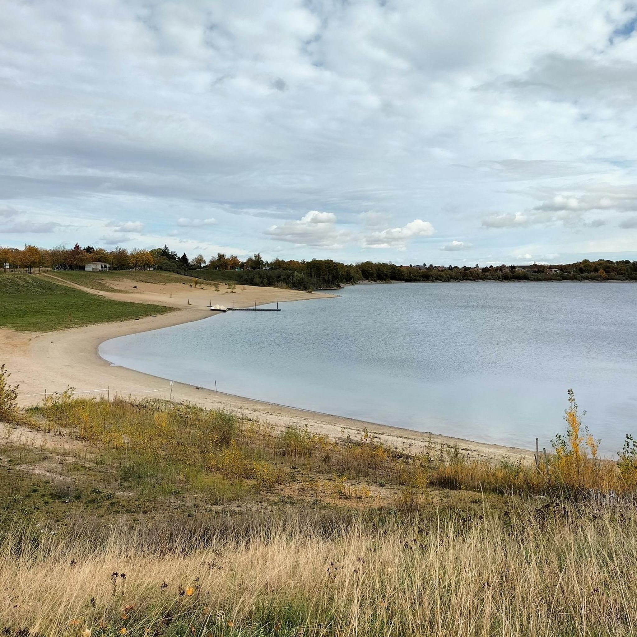
Kühnauer Lake
Highlight • Lake
Translated by Google •
Tip by

Cösitz Castle
Highlight • Castle
Translated by Google •
Tip by

Sign up now to discover places like this
Get recommendations on the best single tracks, peaks, & plenty of other exciting outdoor places.
Sign up for free
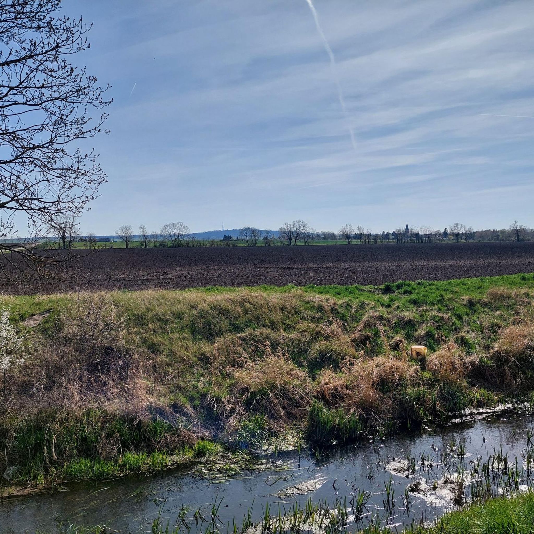
Untere Mulde River
Highlight • River
Translated by Google •
Tip by

White Wall of Dobis
Highlight • Natural Monument
Translated by Google •
Tip by

Goethebruch Quarry
Highlight • Structure
Translated by Google •
Tip by
Sign up for free to discover even more natural monuments around Südliches Anhalt.
Sign up for free
Already have an account?
Start today with a free account
Your next adventure awaits.
Login or Signup
Tips from the Community

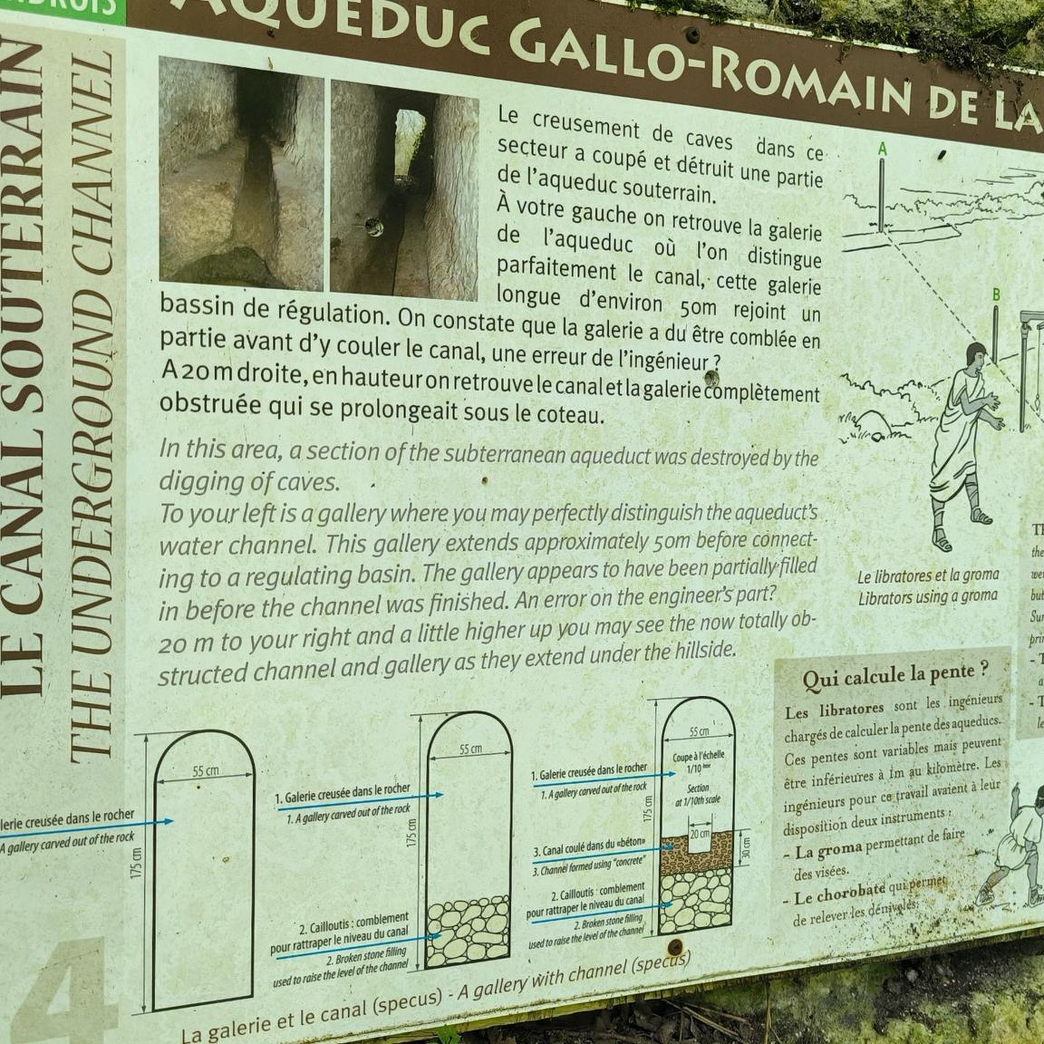
A bit hidden but very interesting with the information board
1
0

A magical place! Unfortunately, entry is prohibited.
0
0

The Mulde River runs exclusively in the North German Plain, initially flowing through the Saxon Hills and passing Grimma, Nerchau, and Trebsen. Approximately near Wurzen, along the western edge of which it runs, the Mulde reaches the Elbe-Mulde Lowland. It then flows through Eilenburg and Bad Düben, and shortly thereafter leaves Saxon territory. The Mulde covers the rest of its course to its mouth in Saxony-Anhalt. The Mulde continued to flow west of the two towns of Pouch and Friedersdorf in the area of today's Goitzschesee until 1975. Since then, it has been dammed east of the two towns in the Mulde Reservoir – a former open-cast mine. The Mulde then flows past Muldenstein, Jeßnitz, Raguhn, and Dessau, and flows into the Elbe between Dessau and Roßlau after a distance of 147 km.[2] The "Wilde Mulde" revitalization project for the lower reaches of the river in Dessau was recognized as an official project of the UN Decade on Biodiversity in November 2018.[11][12] Source: https://de.wikipedia.org/wiki/Mulde_(Fluss)
4
0
Although the confluence of the two source rivers occurs approximately halfway along the Mulde's entire course, the Freiberg and Zwickau Mulde already contribute over 80% of the total water volume. This is due, on the one hand, to the shape of the catchment area, which is very wide in the Ore Mountains and narrows towards the Elbe, and, on the other hand, to the higher precipitation and, at the same time, higher proportions of runoff water in the mountains. The shape of the catchment areas also means that the longer Zwickau Mulde is the smaller of the source rivers at the confluence. The dominant hydrological branch of the Freiberg Mulde's river system is the Zschopau. In its upper catchment area, it is a named tributary, the Flöha, which contributes the larger water flow and is thus the Mulde's actual source river. Along this main flow path, the Mulde is approximately 267 kilometers long, and along its longest flow path (the Zwickau Mulde), a good 314 kilometers.[3] The Mulde catchment area has total gradients of 600 to 900 meters for many important flow paths, resulting in exceptionally high flow velocities for northern Germany. The Mulde is sometimes even described as the fastest-flowing river in Central Europe.[10] Source: https://de.wikipedia.org/wiki/Mulde_(Fluss)
4
0
The Mulde, also known as the United Mulde or Vereinigte Mulde, is a left-hand, non-navigable tributary of the Elbe. It originates southeast of Leipzig near Sermuth (Saxony) through the confluence of two large source rivers, the longer Zwickau Mulde and the Freiberger Mulde, which has a larger discharge and drains a larger catchment area. The river's catchment area encompasses large parts of Saxony and, in particular, the vast majority of the northern slopes of the Ore Mountains. With a water flow of approximately 73 m³/s at its mouth,[8] it is the fourth largest tributary of the Elbe. The old form of the Mulde's name, Milda, is translated by onomastics as "the watery one."[9] The word component "Mel," referring to milling, is sometimes associated with the name due to the large number of mills that once operated on the river, which ignores the fact that river names represent the oldest, often Slavic or Celtic, geographical name layer. Source https://de.wikipedia.org/wiki/Mulde_(Fluss)
4
0

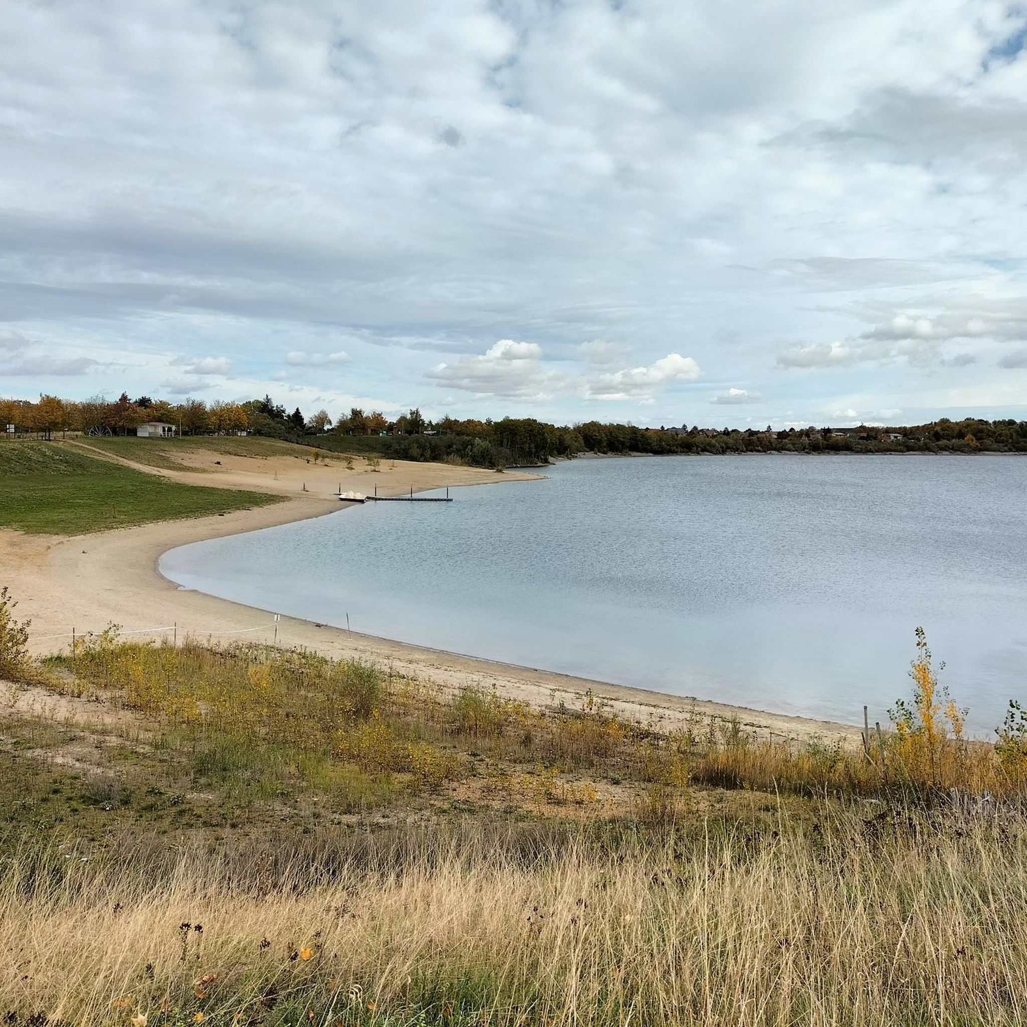
During the redesign, the lake was divided into different areas. A small part was redesigned as a natural swimming pool.
0
0

The Cösitz manor (also Cösitz Castle or Cösitz Manor) In the year 750, there was already a Sorbian rampart on the site of today's manor, which was mentioned in documents in 839 when it was conquered by the Saxons. From 1370 to the middle of the 16th century, the complex was the ancestral seat of the Kositz family. After the plague of 1636 and pillage by Swedish troops in the Thirty Years' War, the village and the manor were desolate. In 1877, the rampart of the castle was demolished, which later enabled the construction of the east wing of the building. The building known today as the castle was built on behalf of Hubert Freiherr von dem Bussche-Lohe and his wife Jeannette von Wuthenau in 1891. The west wing was built in 1937, as was the English landscape park. The design for the new wing was drawn up by the retired senior building inspector and architect Hans Volkmann. The Baron had already had a small living space extension to the building planned by the man from Halle in 1933/34. It remained in the von dem Bussche family until it was put up for auction in 1945. In recent years, the manor has been renovated and apartments have been built. In the landscape park there is still a beech tree with a trunk diameter of six meters and a crown of 38 meters, making it one of the thickest beech trees in Germany. Remnants of the ramparts up to five meters high have been preserved. Source: Wikipedia
0
0

Great park with castle, grotto & copper beech.
1
0
Frequently Asked Questions
What do visitors enjoy most about the natural monuments around Südliches Anhalt?
Visitors particularly appreciate the serene beauty and historical depth of sites like Georgium Park, a historical landscape park with small paths, ruins, and temples. The park's size and spaciousness, along with its ponds and architectural replicas, are frequently highlighted. Other favorites include the tranquil Kühnauer Lake, ideal for a relaxing stroll, and the impressive Goethebruch Quarry, noted for its beauty in every season.
Are there family-friendly natural monuments to visit near Südliches Anhalt?
Yes, several natural monuments in the region are suitable for families. Georgium Park offers ample space for exploration with its paths, ruins, and temples. Kühnauer Lake is a beautiful natural lake perfect for a Sunday stroll or even swimming by arrangement at the lido. The Untere Mulde River also provides opportunities for family-friendly activities along its banks.
What natural water features can I explore in the region?
The region around Südliches Anhalt offers several significant natural water features. The Untere Mulde River is a non-navigable tributary of the Elbe, flowing through varied landscapes and contributing to the region's natural heritage. Kühnauer Lake is a natural lake east of Dessau-Roßlau, well-suited for swimming and relaxation. Additionally, the Goethebruch Quarry features a fishing water with water lilies, adding to its natural charm.
Are there natural monuments with historical significance around Südliches Anhalt?
Absolutely. Georgium Park is a prime example, being a natural monument within a historical landscape park that is part of the Dessau-Wörlitz Garden Kingdom, featuring ruins and temples. Cösitz Castle, built in 1891, is another historical site with a natural monument designation, offering a castle park with old copper beech trees, a grotto, and a pond.
What kind of hiking trails can I find near these natural monuments?
The region offers a variety of hiking opportunities. For easy walks, you can explore routes like the 'Creative Garden at the Beach Bath – South Shore of Lake Edderitz loop' or the 'Mosigkau Heath – Torhaus Quellendorf loop'. The Easy hikes around Südliches Anhalt guide provides more options. The Düben Heath Nature Park, nearby, also boasts over 500 kilometers of marked hiking trails through forests and moorlands.
Are there cycling routes available to explore the natural monuments?
Yes, cycling is a popular way to experience the natural beauty of the area. You can find road cycling routes such as the 'Descent to Gutenberg – Stumsdorf–Zörbig Cycle Path loop' or the 'View from Petersberg – Ascent to Petersberg Monastery loop' in the Road Cycling Routes around Südliches Anhalt guide. For gravel biking, consider routes like the 'Elbe Floodplains Near Dessau – Elbe Riverside Trail loop' from the Gravel biking around Südliches Anhalt guide. The Middle Elbe Biosphere Reserve and Lower Saale Valley Nature Park also feature extensive riverside cycling paths.
Are there any unique geological sites or quarries to visit?
Yes, the Goethebruch Quarry is a notable geological site and fishing water on the Petersberg, known for its impressive appearance in all seasons. The Lower Saale Valley Nature Park also showcases diverse geological formations, including sandstone, porphyry, and limestone, with a notable feature being the 'White Wall' in Dobis, displaying sedimentation from Zechstein salt to porphyry conglomerate.
What kind of wildlife and flora can I expect to see in the natural monuments region?
The region is rich in biodiversity. The Middle Elbe Biosphere Reserve is a vital habitat for endangered species like beavers, sea eagles, black storks, and cranes, alongside various orchids and rare river valley plants. The Düben Heath Nature Park is home to up to 350 different butterfly species and 169 bird species. The Lower Saale Valley Nature Park also supports many protected animal and plant species within its alluvial forests, oxbow lakes, and rocky slopes.
When is the best time of year to visit the natural monuments around Südliches Anhalt?
The best time to visit largely depends on your preferred activities. Spring and autumn offer pleasant temperatures for hiking and cycling, with blooming flora in spring and vibrant foliage in autumn. Summer is ideal for water-based activities at places like Kühnauer Lake. Even winter can be beautiful, as noted by visitors to Kühnauer Lake and Goethebruch Quarry, offering a different, tranquil experience.
Beyond individual monuments, are there larger nature parks or reserves nearby?
Yes, Südliches Anhalt is situated within a region rich in larger protected natural areas. The Middle Elbe Biosphere Reserve, a UNESCO site, protects vast floodplain landscapes. The Düben Heath Nature Park (Naturpark Dübener Heide) is Central Germany's largest contiguous mixed forest area. Additionally, the Lower Saale Valley Nature Park (Naturpark Unteres Saaletal) stretches along the Saale River, known for its scenic beauty and natural treasures. These parks offer extensive opportunities for nature observation and outdoor activities.
Can I learn more about the local nature and culture at information centers?
Yes, several information centers provide insights into the region's natural and cultural heritage. The Auenhaus Information Center within the Middle Elbe Biosphere Reserve offers interactive exhibitions about the Elbe beaver and the area's links. In the Düben Heath Nature Park, you can visit the NaturparkHaus Bad Düben, Waldhaus Kemberg, or Haus am See in Schlaitz for exhibitions and activities. The information center in Bernburg, located in the Lower Saale Valley Nature Park, features a small exhibition on local geology, fauna, and flora.
What are the characteristics of the Middle Elbe Biosphere Reserve?
The Middle Elbe Biosphere Reserve is a UNESCO site protecting one of Central Europe's last near-natural floodplain landscapes along 300 kilometers of the Elbe River. It features unique fluvial topography, including vast water meadows, inland dunes, and mighty oaks. It's a crucial habitat for endangered species like beavers and sea eagles. Visitors can explore on riverside trails, by bike, or canoe, with the Auenhaus Information Center offering educational insights.
What makes the Düben Heath Nature Park a special place to visit?
The Düben Heath Nature Park, located between the Mulde and Elbe rivers, is Central Germany's largest contiguous mixed forest area. It spans 770 square kilometers, offering a varied landscape of heath forests, moorlands, small forest lakes, and clearings. It's home to diverse wildlife, including numerous butterfly and bird species. The park provides over 500 kilometers of marked hiking and cycling trails, and families can enjoy interactive exhibitions at its various nature park houses.
Most popular routes around Südliches Anhalt
Most popular attractions around Südliches Anhalt

Get inspired with the komoot mobile app


Explore more
Extend your search for the best caves by checking out these guides of the top ones around Südliches Anhalt:
