Top 15 Natural Monuments around Rotter Forst Nord
Best natural monuments around Rotter Forst Nord encompass a largely undeveloped forest area in Bavaria, Germany. This region is characterized by diverse ecological features, including significant moor landscapes and historical sites. It offers opportunities to explore unique natural environments and witness ongoing conservation efforts within its protected areas. The area provides a natural setting for outdoor activities, showcasing a variety of natural features.
Best natural monuments around Rotter Forst Nord
- The most popular natural monuments is Boardwalk on the Moor…
Last updated: June 25, 2026
St. Leonhard's Spring
Highlight • Natural Monument
Translated by Google •
Tip by

Boardwalk on the Moor Nature Trail
Highlight (Segment) • Trail
In the eastern section there is a platform with a nice rest area.
A great section!
Translated by Google •
Tip by

Sign up now to discover places like this
Get recommendations on the best single tracks, peaks, & plenty of other exciting outdoor places.
Sign up for free
Confluence Point N48° E12°
Highlight • Monument
Translated by Google •
Tip by

Renatured Section of the Moosach Near Ostermünchen
Highlight • River
Translated by Google •
Tip by
Stifterbrünndl Fountain
Highlight • Natural Monument
A map with detailed directions can be found under the following link:
chiemsee-alpenland.de/discoveren/tourenportal/wandern-von-rott-a.-inn-aus-auf-dem-weg-des-wassers-38136a46e8
Translated by Google •
Tip by
Sign up for free to discover even more natural monuments around Rotter Forst Nord.
Sign up for free
Already have an account?
Start today with a free account
Your next adventure awaits.
Login or Signup
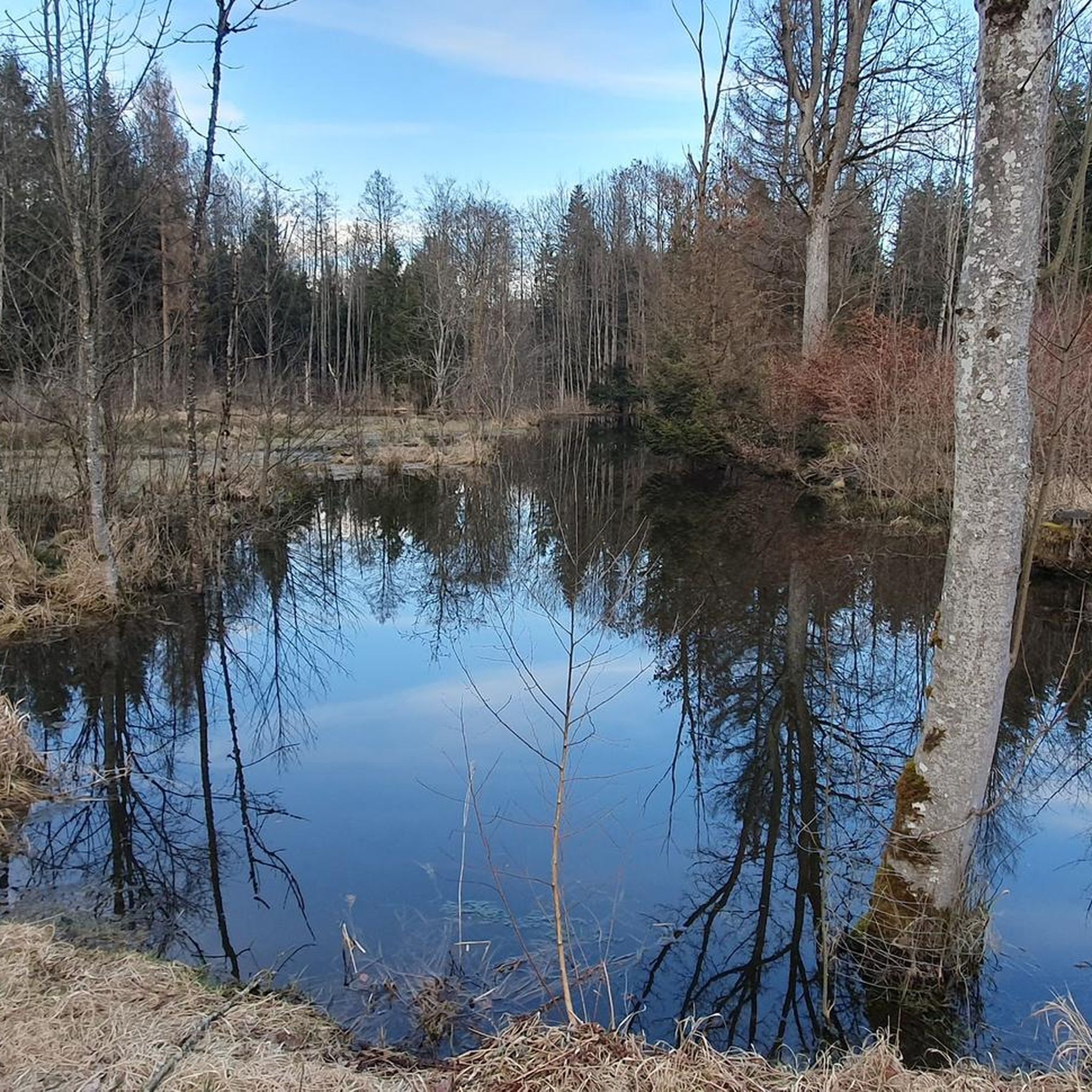
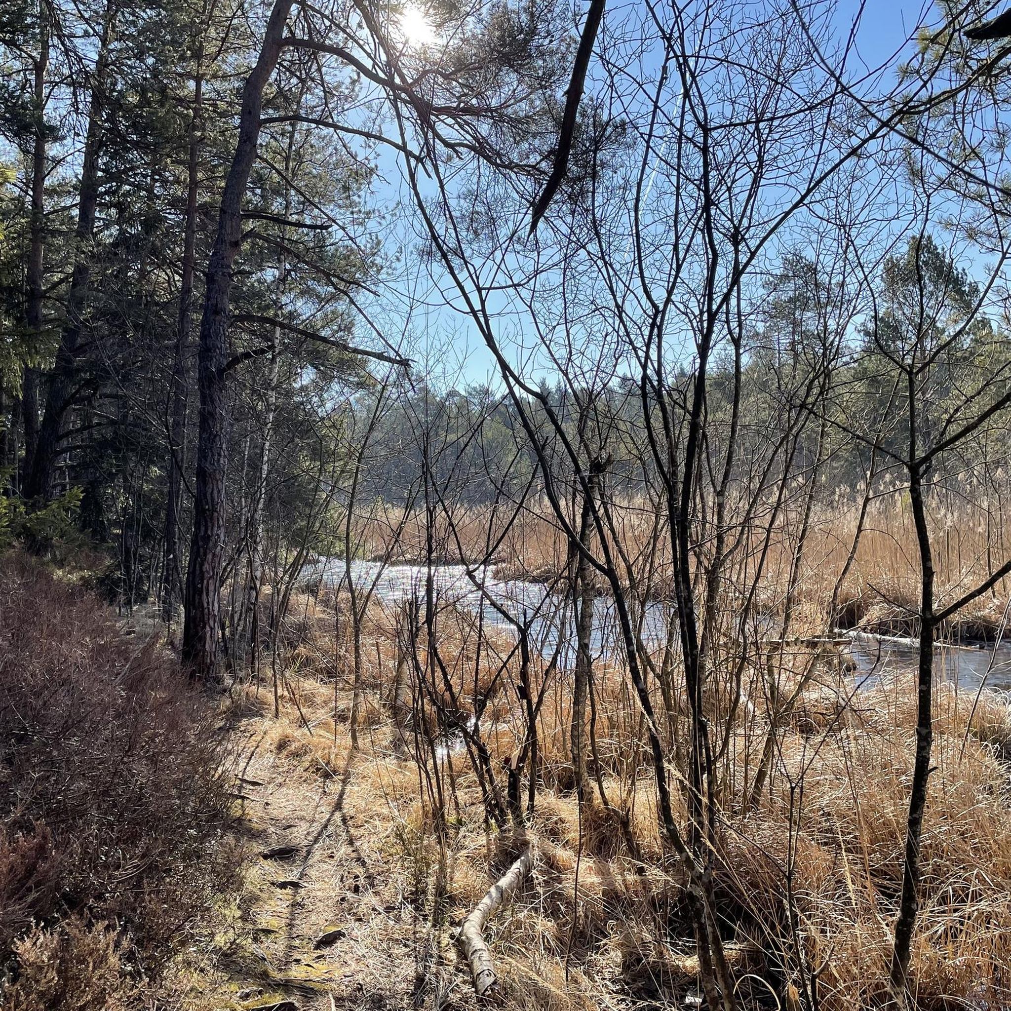

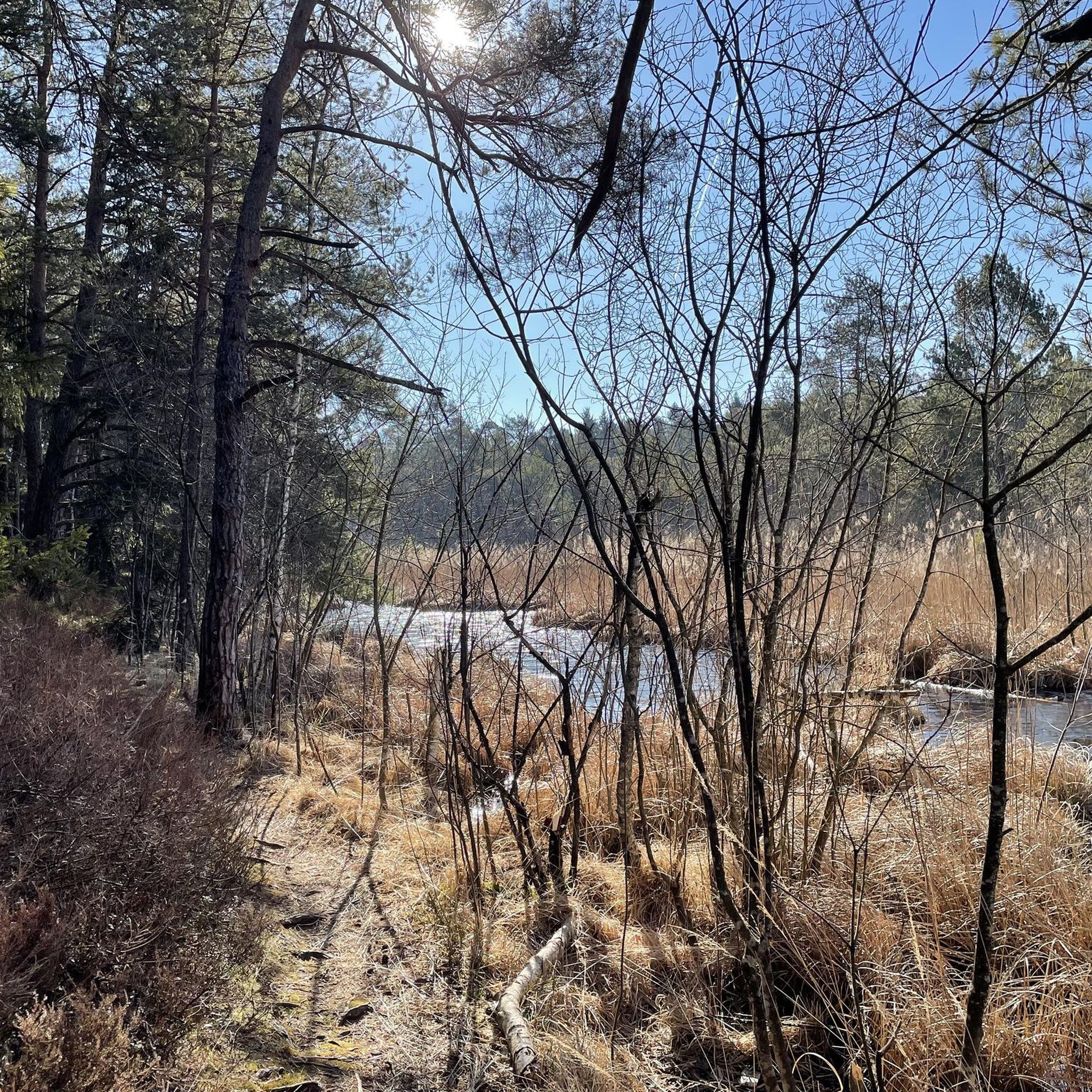
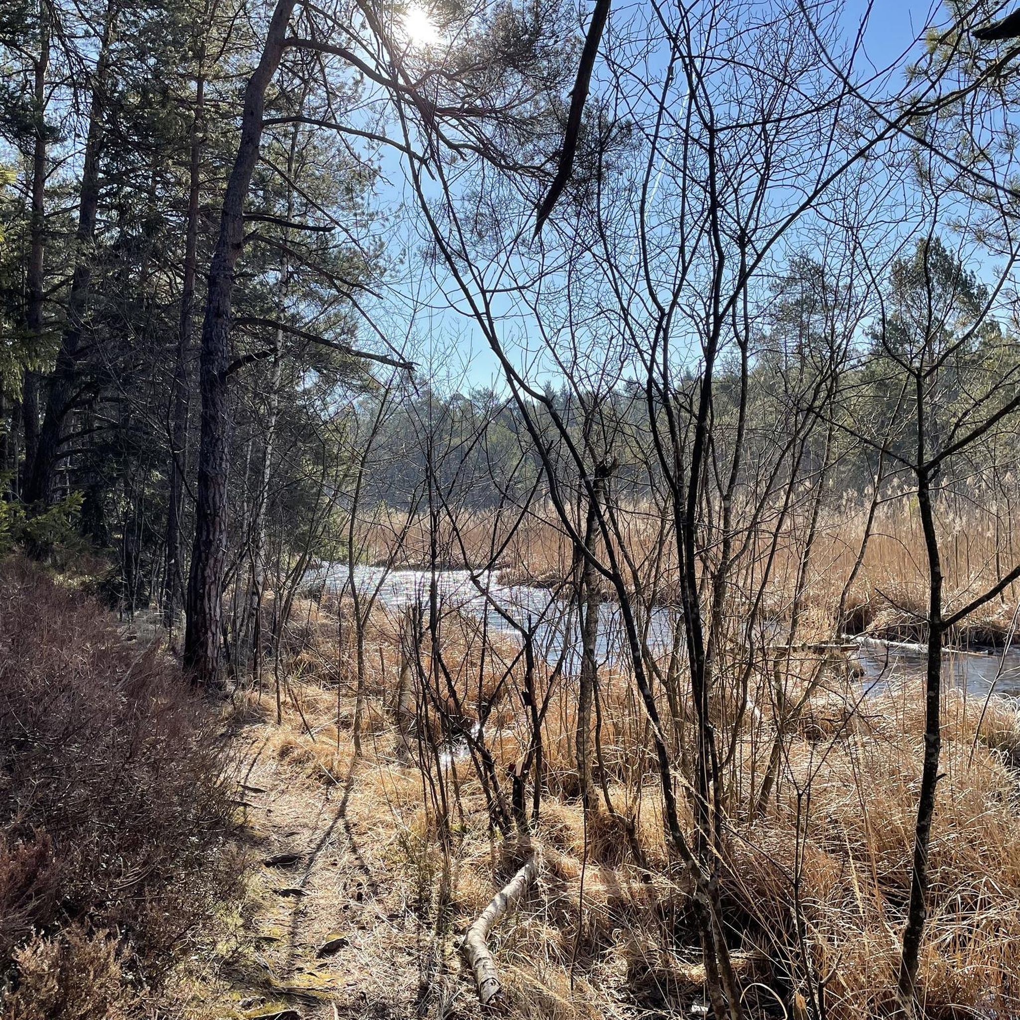
Tips from the Community

Currently (June 2026) heavily overgrown and many planks damaged. Caution is advised!
0
0

The geographical coordinates are spherical coordinates that can be used to describe the position of a point on the earth's surface. The geographical latitude is measured from the equator to the north (0° to 90° north at the North Pole) and south (0° to 90° south at the South Pole), the geographical longitude from the prime meridian from 0° to 180° to the east and from 0° to 180° to the west. Parallels of latitude (lines of constant latitude) run parallel to the equator, longitudes (lines of constant longitude) through the North and South Pole. Source and further information https://de.m.wikipedia.org/wiki/Geographische_Koordinaten
1
0

You can eat well at Boadwirt
3
0

The boardwalk is not very wide, please push your bike!
1
0

A good opportunity to fill up your water bottle 👍
1
0
Also part of the 3.3 km long hiking trail "Weg des Wassers". A map with detailed directions can be found under the following link: https://www.chiemsee-alpenland.de/discoveren/tourenportal/wandern-von-rott-a.-inn-aus-auf-dem-weg-des-wassers-38136a46e8
1
0
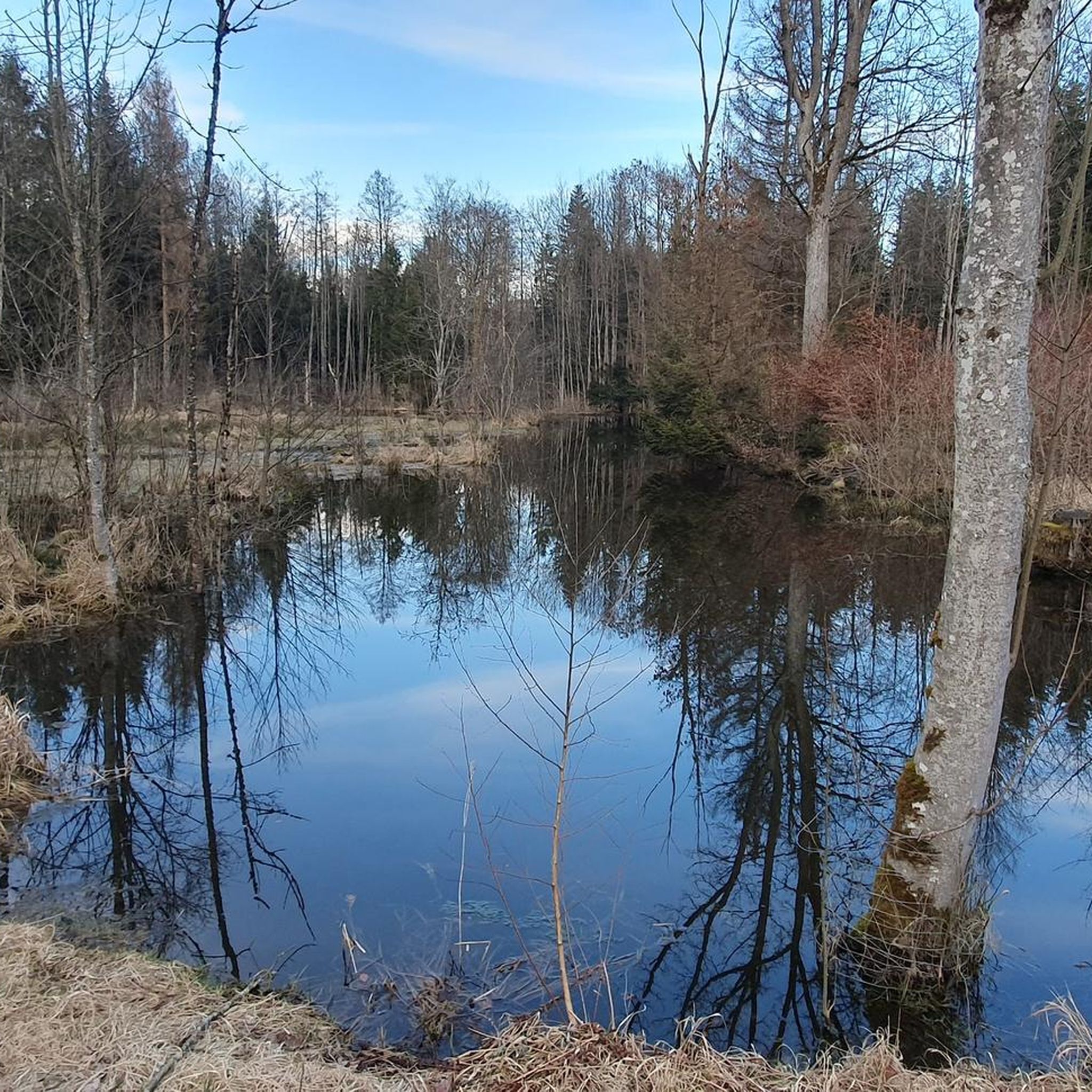
A small natural paradise was created on the doorstep of Ostermünchen an der Moosach. Hikers and cyclists should have already discovered it. If you don't know it yet, you should make your way from the new cemetery in Ostermünchen via the pond at the Moosmühle to the Moosach. If you cross the Moosach on the old stone bridge after the pond, there is a long stretch. And there, after a good 500 meters, the small natural paradise opens up. The Moosach, which used to run straight, was ecologically redesigned. Source and more info https://www.google.de/amp/s/www.ovb-online.de/rosenheim/bad-aibling/ostermuenchen-an-der-moosach-ist-ein-naturjuwel-erstanden-wasserwirtschaftsamt-beendet-renaturierung- 91526249.amp.html
1
0

The Stifterbrünndl from Rott am Inn: Count von Rott and his son, who died early, have their final resting place in the then new church of the Rott am Inn monastery. Countess Uta outlived husband and son for a long time. In deep mourning for her loved ones, she spent her widowhood in the castle near the monastery. She descended daily to take part in the vigils, the early morning services held by the monks with prayer and song. The chronicler of the monastery at the time of Countess Uta, the monk Father Daniel Molitor, reports that the high lady was once held up in the castle a little longer than the church bells were already announcing the beginning of the service. The Countess rushed to the window and called down: "Wait, I'll be right back!" And full of impatience she threw out one of her gloves being brought, which instructed him not to begin the pious ceremony, but to wait for the lady of the castle to arrive. At the point where the glove came to rest, a spring gushed out, which was then called the "Stifterbrünndl". Source: Einmayr, Max / Arbinger, Max: Inntaler Sagen, Oberaudorf 1988, p. 183
0
0
Frequently Asked Questions
What are some of the most notable natural monuments to visit around Rotter Forst Nord?
Rotter Forst Nord offers several unique natural monuments. You can explore the Boardwalk on the Moor Nature Trail, which crosses a swampy part of the moor on a wooden plank path with informative signs. Another significant site is St. Leonhard's Spring, an artesian spring known for its pure water. Additionally, the Renatured Section of the Moosach Near Ostermünchen provides a beautiful natural paradise for hikers and cyclists.
Are there any family-friendly natural monuments in the area?
Yes, several natural monuments around Rotter Forst Nord are suitable for families. St. Leonhard's Spring is a great spot where visitors can fill up on fresh spring water. The Renatured Section of the Moosach Near Ostermünchen is also family-friendly, offering pleasant paths for walking and cycling. The Stifterbrünndl Fountain, with its historical legend, can also be an interesting stop for families.
What kind of unique natural features can I expect to see in Rotter Forst Nord?
Rotter Forst Nord is characterized by its diverse ecological features. You'll find significant moor landscapes, including high moor regeneration areas within the Natura 2000 site 'Rotter Forst und Rott'. The Boardwalk on the Moor Nature Trail offers direct access to these unique boggy conditions. The region also features natural springs like St. Leonhard's Spring and renatured river sections such as the Renatured Section of the Moosach Near Ostermünchen.
Can I fill up on water at St. Leonhard's Spring?
Yes, St. Leonhard's Spring is an artesian spring renowned for its purity. Visitors are welcome to fill up their water bottles directly from the source.
Are there historical or cultural sites associated with the natural monuments?
Yes, some natural monuments in the region have historical and cultural connections. St. Leonhard's Spring is not only a natural monument but also has a nearby chapel dedicated to St. Leonhard, which has a history of pilgrimage for healing. The water itself was reportedly appreciated by the Celts and Romans. The Stifterbrünndl Fountain also comes with a local legend about Countess Uta and the Rott am Inn monastery.
What is the Frauenöder Filz Nature Reserve?
The Frauenöder Filz Nature Reserve is a 12.6-hectare moor area located within Rotter Forst Nord. Established in 1940, it is one of Bavaria's oldest nature reserves. It serves as a valuable example of a moor ecosystem, protecting unique flora adapted to boggy conditions and representing a well-preserved piece of natural history. It's an important site for nature enthusiasts.
What outdoor activities can I do near the natural monuments in Rotter Forst Nord?
The area around Rotter Forst Nord offers various outdoor activities. You can find numerous hiking trails, including easy options like the 'Brandplatz Parking Area – Entenweiher loop'. For more detailed hiking information, you can explore the Hiking around Rotter Forst Nord guide or the Easy hikes around Rotter Forst Nord guide. Mountain biking is also popular, with routes like the 'Fisherman's Inn – Wasserburg am Inn loop'. Check out the MTB Trails around Rotter Forst Nord guide for more options.
Are there specific trails that highlight the moor landscapes?
Yes, the Boardwalk on the Moor Nature Trail is specifically designed to showcase the moor landscapes. It features a wooden plank path that allows you to cross a swampy part of the moor, complete with informative signs about the ecosystem and a rest area.
What makes the Renatured Section of the Moosach Near Ostermünchen special?
The Renatured Section of the Moosach Near Ostermünchen is special because the river has been ecologically redesigned. This restoration effort has transformed a previously straightened section into a small natural paradise, creating a more diverse habitat and an enjoyable area for hikers and cyclists to explore.
What is the significance of the moor areas within the Natura 2000 site 'Rotter Forst und Rott'?
The moor areas within the Natura 2000 site 'Rotter Forst und Rott' are highly significant for their ecological value. They include various types of moor forests and high moor regeneration areas, which have been undergoing rewetting efforts since 2002 to restore these valuable ecosystems. These areas provide critical habitats for diverse and often rare species, including the endangered black stork, freshwater pearl mussel, bullhead, and yellow-bellied toad.
What do visitors enjoy most about the natural monuments in Rotter Forst Nord?
Visitors particularly appreciate the tranquility and natural beauty of the area. The opportunity to experience unique ecosystems like the moorlands, walk on the Boardwalk on the Moor Nature Trail, and learn about conservation efforts is highly valued. The pure water of St. Leonhard's Spring and the peaceful atmosphere of the renatured river sections also receive positive feedback.
Most popular routes around Rotter Forst Nord
Most popular attractions around Rotter Forst Nord

Get inspired with the komoot mobile app


Explore more
Extend your search for the best caves by checking out these guides of the top ones around Rotter Forst Nord:
