Top 20 Natural Monuments around Musweiler
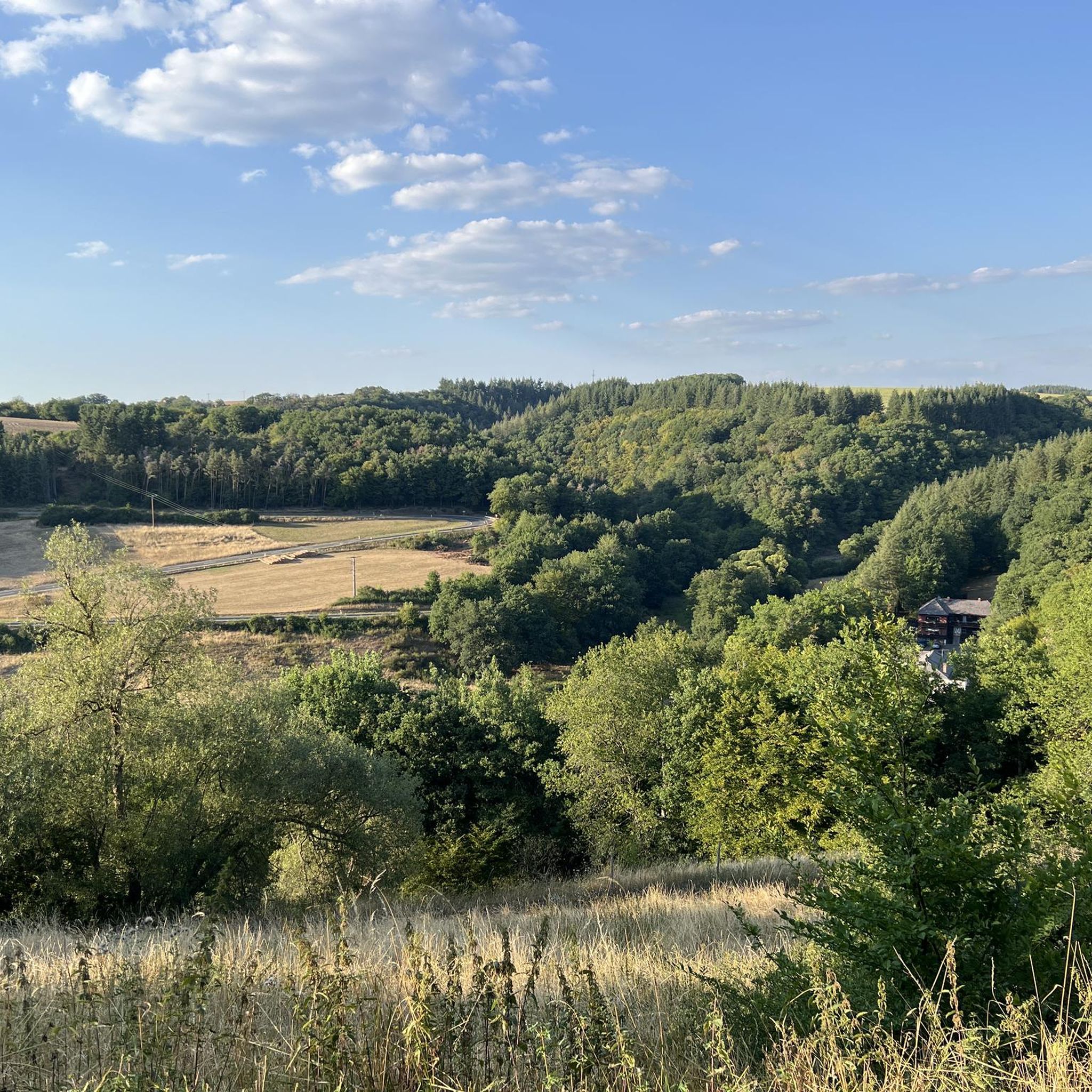
Best natural monuments around Musweiler are found within the scenic Mosel-Saar-Ruwer region, characterized by vineyards, rolling hills, and river valleys. The area's natural appeal includes the Lieser and Salm rivers, contributing to its landscape for outdoor activities. Musweiler serves as a base for exploring the broader Rhineland-Palatinate region, which features notable geological formations and natural sites. This setting provides opportunities for exploring diverse natural features.
Best natural monuments around Musweiler
- The most popular natural monuments is Windsborn Crater summit,…
Last updated: May 12, 2026
Windsborn Crater summit
Highlight • Viewpoint
Translated by Google •
Tip by

Wolfsschlucht (Vulkaneifel)
Highlight • Gorge
Translated by Google •
Tip by

Sign up now to discover places like this
Get recommendations on the best single tracks, peaks, & plenty of other exciting outdoor places.
Sign up for free
Whirlpools of the Kleine Kyll
Highlight • Natural Monument
Translated by Google •
Tip by

Mosenberg Volcano Experience Park
Highlight • Volcano
Translated by Google •
Tip by

Kleine Kyll Stream
Highlight • River
Translated by Google •
Tip by

Sign up for free to discover even more natural monuments around Musweiler.
Sign up for free
Already have an account?
Start today with a free account
Your next adventure awaits.
Login or Signup

Tips from the Community

Here you can enjoy with all your senses.
0
0

The rippling water brings peace to you
0
0

Beautiful walk with a small waterfall
0
0


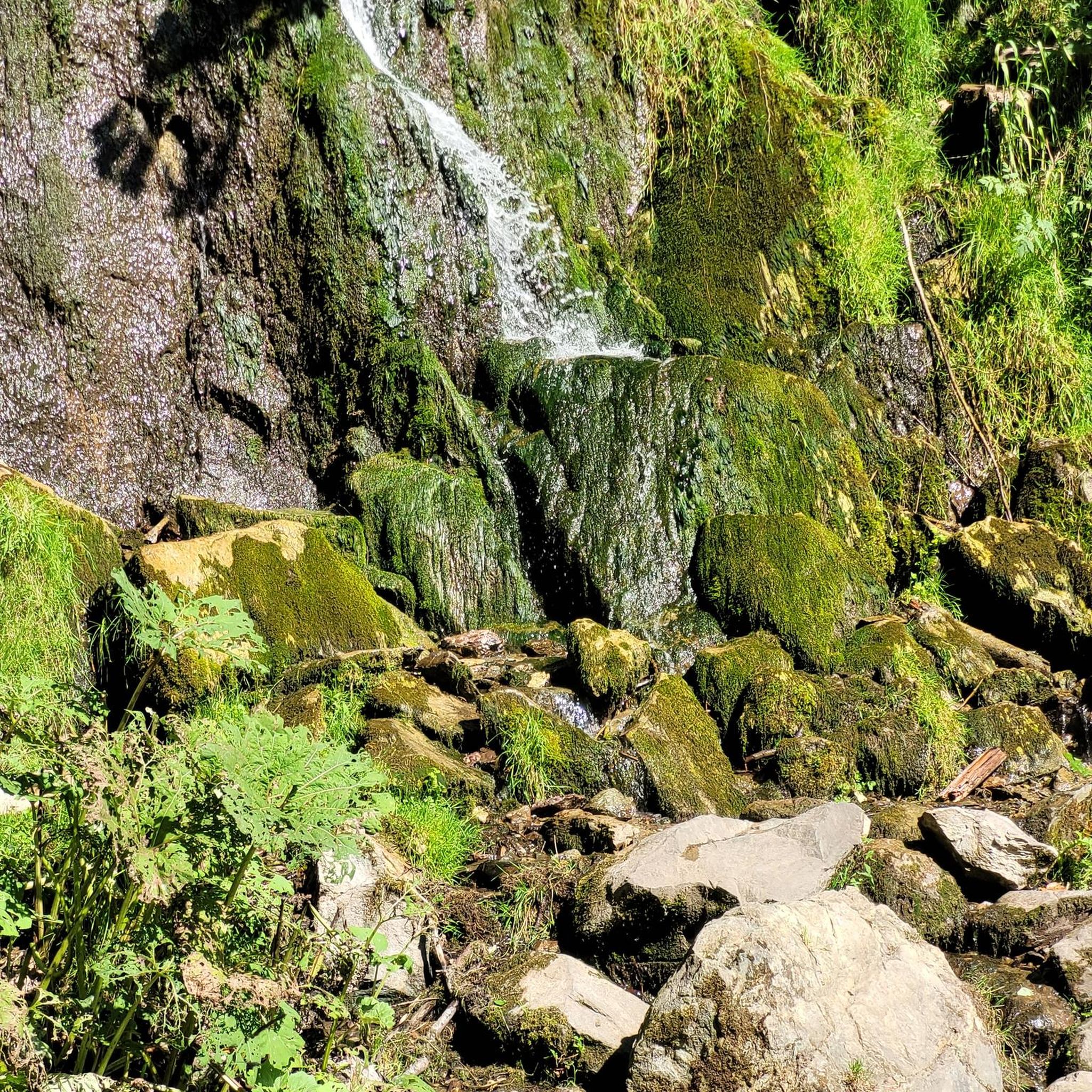
As beautiful as the Wolfsschlucht is, you should always be careful when hiking through it. If it has rained, the rocky path can be very slippery. Sturdy, well-profiled shoes are therefore strongly recommended.
4
0

Very interesting hiking trail, recommended
3
0
A path to inner contemplation, highly recommended
0
0

The HeimatSpur Mindfulness Trail Kleine Kyll is a very idyllic circular hiking trail near the Manderscheid Heidsmühle. The path mainly leads along beautiful forest paths. The exception is the climb up (or down, depending on the direction you walk) through the Wolfsschlucht with its basalt columns. The mossy boulders give the gorge a mystical, beautiful atmosphere. The path here leads over rocks, so it is advisable to only walk this path with suitable shoes. The valley is wet and the rocks are therefore slippery, so I preferred the climb up to the descent down here. The mindfulness path has 8 further highlights according to the topic: 0.6 km: Marienhütte (here - how fitting - I even encountered 3 ladybirds on the warm October 13th 🐞🐞🐞😍 0.9 km: Barefoot bathing area 1.9 km: Germanic Bridge 3.0 km: Place of hearing 3.6 km: Drinking water source 5.1 km: Resting place 5.7 km: View of the valley 5.8 km: Kneipp treading pool Especially at the point of hearing, you are encouraged to use your sense of hearing. Be it on the dendrophone, or by sticking your head into the humming stone and experiencing how the vibration of your own humming affects your body. Or you can listen carefully to the babbling of the little Kyll on the ear trumpet. The Mindfulness Path is not meant to be rushed through. The route is accompanied by the constant rustling and splashing of the small Kyll; there is something for all senses to experience and discover if you just take the time. The path serves - as the saying goes - to slow down. In contrast to a normal hiking trail, it wants to encourage you to explore yourself - instead of just following the given paths. So: hurry up!
3
0
Frequently Asked Questions
What unique natural features can I discover around Musweiler?
The region around Musweiler is characterized by its volcanic landscapes, river gorges, and unique geological formations. You can explore ancient crater lakes, such as the Windsborn Crater summit, basalt columns, and river-carved features like the Whirlpools of the Kleine Kyll. The area offers a diverse range of natural monuments to experience.
Are there family-friendly natural monuments to visit near Musweiler?
Yes, several natural monuments are suitable for families. The Whirlpools of the Kleine Kyll are noted as family-friendly, offering an exciting path that little mountaineers might enjoy. Additionally, the Mosenberg Volcano Experience Park is also family-friendly, with information boards and volcanic rocks to touch, making it an engaging educational experience.
What kind of hiking trails can I find near the natural monuments?
The natural monuments around Musweiler are often integrated into scenic hiking routes. For instance, the Wolfsschlucht (Vulkaneifel) features a beautiful, narrow path through moss-covered rocks and rare ferns. The Mosenberg Volcano Experience Park has a geopath that leads directly through it. For more hiking options, you can explore various routes in the area, including those listed in the Hiking around Musweiler guide.
What is the best time to visit the natural monuments around Musweiler?
The region's natural beauty, with its vineyards, rolling hills, and river valleys, can be enjoyed throughout the year. Spring and autumn offer pleasant temperatures for hiking and exploring, with vibrant foliage or blooming landscapes. Summer is ideal for longer days outdoors, while winter can provide a unique, tranquil experience, though some paths might be slippery if it has rained or snowed, especially in areas like the Wolfsschlucht.
Are there any viewpoints offering panoramic views of the natural landscapes?
Yes, the Windsborn Crater summit provides a viewpoint overlooking one of the few volcanic crater lakes north of the Alps. The Mosenberg Volcano Experience Park also offers viewpoints into the former quarrying site, revealing geological outcrops. The broader Mosel-Saar-Ruwer region is known for its scenic beauty, with many opportunities for picturesque views along river paths and hills.
Can I bring my dog to the natural monuments?
Many natural areas and trails in the region are dog-friendly. For example, the Mosenberg Volcano Experience Park is noted as dog-friendly. When visiting other natural monuments or trails, it's generally advisable to keep dogs on a leash and ensure you clean up after them to preserve the natural environment for everyone.
What are the characteristics of the terrain and difficulty of hikes near these sites?
The terrain around Musweiler varies, from gentle paths along riverbanks to more challenging routes through volcanic landscapes and gorges. Hikes can range from moderate to difficult. For instance, the path through the Wolfsschlucht (Vulkaneifel) is described as rocky and potentially slippery, requiring sturdy shoes. You can find detailed information on difficulty grades for various routes in the Hiking around Musweiler guide.
What other outdoor activities are available near the natural monuments?
Beyond hiking, the region offers excellent opportunities for cycling. The Cosmos Cycle Path, for example, connects Daun with Meerfeld and the Meerfelder Maar, offering insights into the solar system and cosmos. You can find various cycling routes, including those listed in the Cycling around Musweiler guide, which features routes of varying difficulty.
What do visitors enjoy most about the natural monuments around Musweiler?
Visitors particularly appreciate the unique geological insights, the tranquility of the natural settings, and the scenic beauty. The Windsborn Crater summit is loved for its unique geological feature and peaceful atmosphere, while the Wolfsschlucht (Vulkaneifel) is praised for its mystical, moss-covered rocks. The Mosenberg Volcano Experience Park is valued for its informative displays about volcanic history.
Are there any natural monuments that are wheelchair accessible?
While many natural monuments in the region involve uneven terrain, the Big Bang Sculpture, which is part of the Kosmos Cycle Path, is noted as wheelchair accessible. This sculpture marks the start or end point of a cycle path that opens up part of the Vulkaneifel on an almost slope-free route, making it more accessible for visitors with mobility needs.
Where can I find information about parking near the natural monuments?
Specific parking information for each natural monument is often available on local signage or detailed route descriptions. For popular sites like the Windsborn Crater summit or the Mosenberg Volcano Experience Park, designated parking areas are usually provided nearby. It's recommended to check specific tour details or local tourist information for the most accurate parking advice.
Are there any cafes or pubs near the natural monuments for refreshments?
While Musweiler itself is a charming village, specific cafes or pubs directly adjacent to every natural monument are not always available. However, many hiking and cycling routes in the broader Mosel-Saar-Ruwer region pass through or near villages where you can find local eateries and pubs. It's a good idea to plan your route and check for refreshment stops in nearby towns like Manderscheid or Wittlich-Land.
Most popular attractions around Musweiler

Get inspired with the komoot mobile app


Explore more
Extend your search for the best caves by checking out these guides of the top ones around Musweiler:
