Top 8 Mountain Passes around Großfischlingen
Best mountain passes around Großfischlingen are found in the surrounding region, as the municipality itself, situated at 132 meters elevation in the Südliche Weinstraße district, does not feature prominent passes. Großfischlingen's geography lies between the Palatinate Forest and the Rhine, in a region known as the Gäu. While the immediate vicinity is not mountainous, the nearby Palatinate Forest offers various geographical features and natural landscapes suitable for exploration.
Best mountain passes around Großfischlingen
- The most popular mountain pass is Kalmithöhenstraße…
Last updated: May 12, 2026
Three-Country Marker (Boundary Stone)
Highlight • Monument
Translated by Google •
Tip by

Hahnenschritt Pass parking area (565 m)
Highlight • Parking
Translated by Google •
Tip by

Sign up now to discover places like this
Get recommendations on the best single tracks, peaks, & plenty of other exciting outdoor places.
Sign up for free
Kohlplatz Pass and Ritterstein No. 69
Highlight • Mountain Pass
Translated by Google •
Tip by

Eastern ascent/descent to the Drei Buchen Pass
Highlight (Segment) • Mountain Pass
Translated by Google •
Tip by

Drei Buchen Pass
Highlight (Segment) • Mountain Pass
Translated by Google •
Tip by
Sign up for free to discover even more mountain passes around Großfischlingen.
Sign up for free
Already have an account?
Start today with a free account
Your next adventure awaits.
Login or Signup
Tips from the Community

You can find a list of knight stones here: https://de.m.wikipedia.org/wiki/Liste_der_Rittersteine
2
1

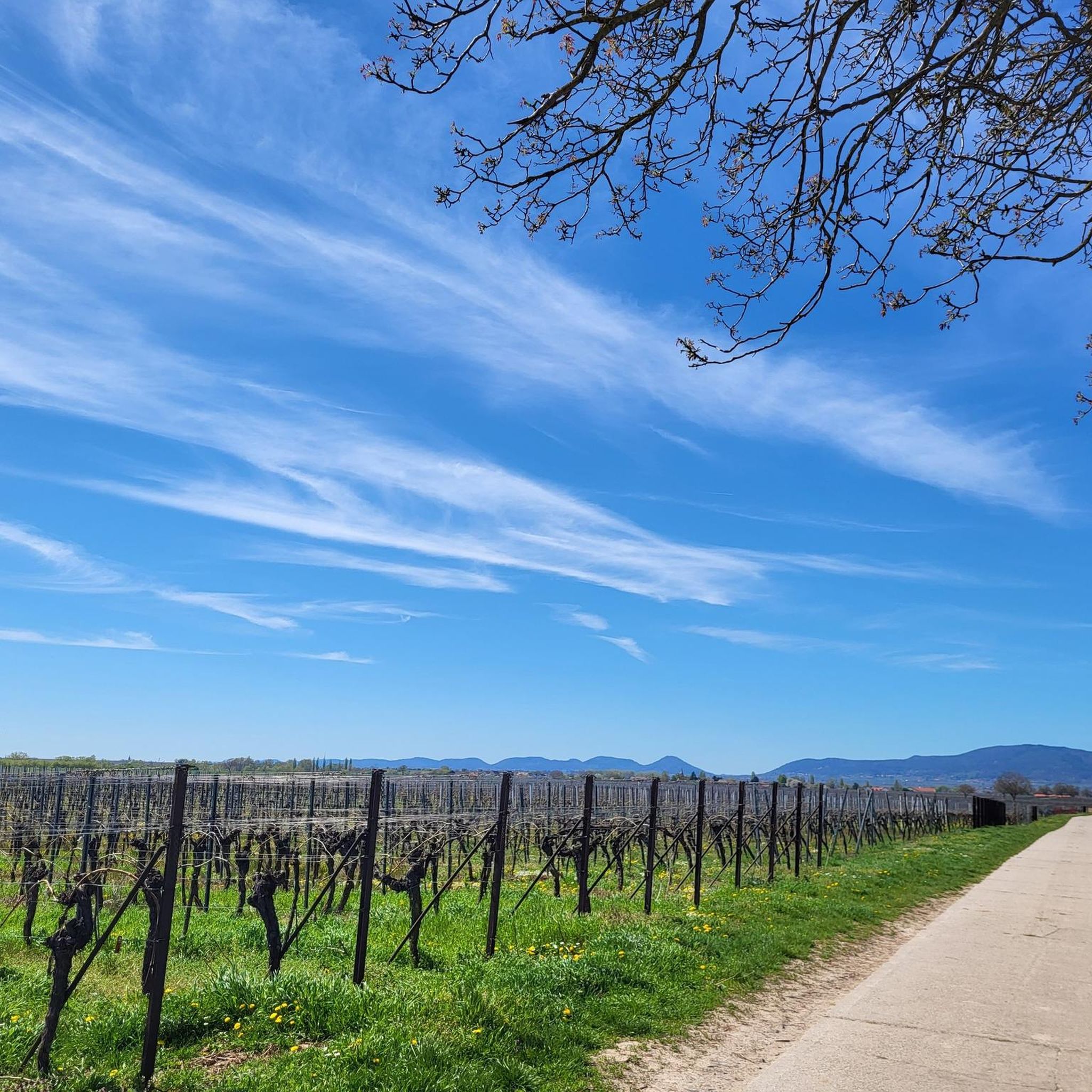
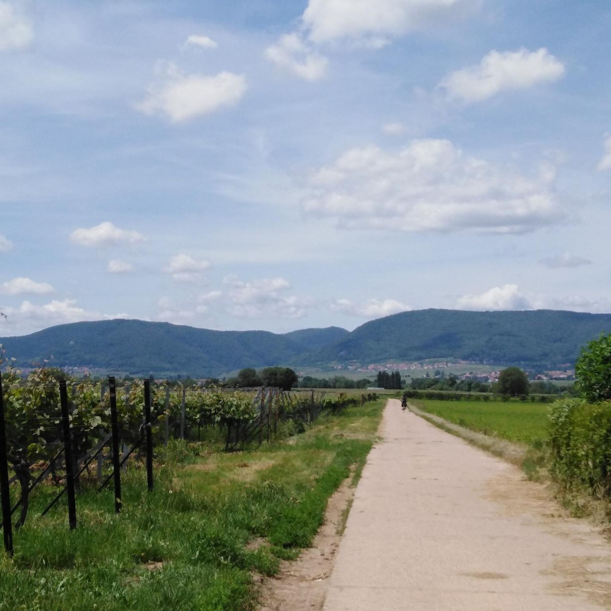
Not flat, but can be done by experienced cyclists without a motor. You dare.
2
0
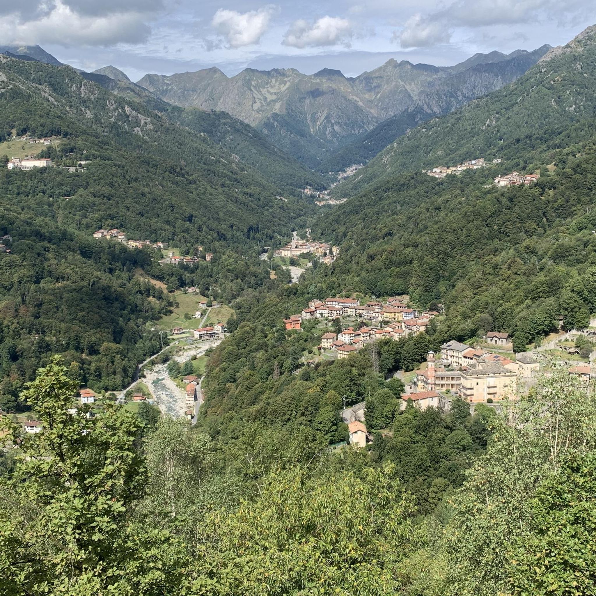
The Drei Buchen pass lies between Ramberg and Burrweiler/Weyher (between Edenkoben and Annweiler) and connects the Dernbachtal with the Modenbachtal. The pass can also serve as a connection between the two passes Lolosruhe and Taubensuhl. The ascent from Ramberg was part of the 2006 Rhineland-Palatinate Tour. There was a mountain classification on the pass. There is also a larger parking lot around the pass, which is often used by hikers. From the top of the pass in a northerly direction (approx. 400 m) is the Ramberger Waldhaus, a mixture of restaurant and Palatinate Forest hut. A stop is recommended, but unfortunately the forest house can only be reached via an unpaved forest path, which can be problematic with a racing bike depending on the weather. Source: quaeldich.de
4
0
The Drei Buchen pass lies between Ramberg and Burrweiler/Weyher (between Edenkoben and Annweiler) and connects the Dernbachtal with the Modenbachtal. The pass can also serve as a connection between the two passes Lolosruhe and Taubensuhl. The ascent from Ramberg was part of the 2006 Rhineland-Palatinate Tour. There was a mountain classification on the pass. There is also a larger parking lot around the pass, which is often used by hikers. From the top of the pass in a northerly direction (approx. 400 m) is the Ramberger Waldhaus, a mixture of restaurant and Palatinate Forest hut. A stop is recommended, but unfortunately the forest house can only be reached via an unpaved forest path, which can be problematic with a racing bike depending on the weather. Source: quaeldich.de
5
1

There is also a large rest area with a few benches and tables in the shade.
3
1

Here stands one of the more than 300 knight stones of the Palatinate Forest Association (PWV). Its full inscription reads: "Kohlplatz - retreat battle of the Battalion von Schladen under Major von Borck on July 13, 1794." It indicates the following: "In the First Coalition War, there were repeated battles at Steigerkopf in 1794 and 1795. [...] After the death of the Prussian General von Pfau on July 13, 1794, there were retreat battles by the Prussian troops. The retreat of the Battalion von Schladen under Major von Borck led from Schänzel via Benderplatz and Kohlplatz to the Rhine plain. The defeat of the coalition troops at Schänzel resulted in a retreat to and across the Rhine. As a result, Prussia withdrew from the war after an armistice with France." Source (quoted verbatim) and further information: https://www.kuladig.de/Objektansicht/KLD-272287
4
0

eune beautiful winding and hilly route with little car traffic.
3
0

The "Three Beeches" is 403 m above sea level. The eastern ascent/descent leads from/to the Modenbachtal on/from the "pass". The section runs on a fairly good forest road.
2
2
Frequently Asked Questions
What are the most popular mountain passes to explore near Großfischlingen?
Among the most popular mountain passes are the Kalmithöhenstraße Upper Junction, which is a significant crossroads at approximately 600 meters above sea level, and the Eastern ascent/descent to the Drei Buchen Pass, connecting the Dernbachtal with the Modenbachtal. Visitors also frequently visit the Dreimärker Stone, a historical crossroads and meeting point for hikers.
Are there historical sites or monuments at the mountain passes?
Yes, several mountain passes feature historical significance. The Dreimärker Stone is a man-made monument marking a historical crossroads. Another notable site is the Kohlplatz Pass and Ritterstein No. 69, which commemorates a retreat battle from the late 18th century and is marked by a historical Ritterstein monument.
What kind of natural features can I expect to see around these mountain passes?
The mountain passes are primarily located within the Palatinate Forest, offering dense forest landscapes. You'll encounter various valleys, such as the Dernbachtal and Modenbachtal, connected by passes like the Drei Buchen Pass. Many passes also offer scenic viewpoints over the surrounding region.
Are there family-friendly mountain passes or areas suitable for children?
Yes, several spots are considered family-friendly. The Dreimärker Stone is a great meeting point with benches and a small hut. The Kohlplatz Pass also features a seating group. The Hahnenschritt Pass parking area is a good starting point for various hikes, some of which can be tailored for families.
Where can I park when visiting the mountain passes?
Parking is available at several mountain pass locations. The Hahnenschritt Pass parking area (565 m) is a well-known starting point for hikes below the Kalmit. Additionally, there is a larger parking lot around the Drei Buchen Pass, frequently used by hikers.
What outdoor activities can I do near these mountain passes?
The region around Großfischlingen and its mountain passes offers a variety of outdoor activities. You can find numerous mountain hikes, such as the 'St. Martin Church – Weinstube Altes Rathaus loop from Sankt Martin' or the 'Hohe Loog House – Hohe Loog Summit (619 m) loop from Maikammer'. For more details on hiking routes, visit the Mountain Hikes around Großfischlingen guide. There are also extensive MTB and road cycling routes available in the area.
Are there cycling routes that incorporate these mountain passes?
Yes, the region is popular for cycling. The ascent to the Drei Buchen Pass from Ramberg was even part of the 2006 Rhineland-Palatinate Tour. The Kalmithöhenstraße Upper Junction is also a well-known cycling destination. For detailed cycling routes, explore the MTB Trails around Großfischlingen and Road Cycling Routes around Großfischlingen guides.
What do visitors enjoy most about the mountain passes near Großfischlingen?
Visitors appreciate the combination of natural beauty and historical significance. Many enjoy the well-marked crossroads like the Dreimärker Stone, which serve as excellent meeting points and rest stops. The challenging yet rewarding ascents, such as to the Kalmithöhenstraße Upper Junction, are also highly valued by cyclists and hikers.
Is Großfischlingen itself located in a mountainous area?
Großfischlingen is situated at an elevation of 132 meters and is not directly in a mountainous area. Its geography lies between the Palatinate Forest and the Rhine in a region known as the Gäu. The prominent mountain passes are found in the surrounding Palatinate Forest, which is easily accessible from Großfischlingen.
Are there any facilities or places to rest near the mountain passes?
Yes, some mountain passes offer facilities. The Dreimärker Stone features benches and a small hut. The Kohlplatz Pass also has a seating group. Near the Drei Buchen Pass, about 400 meters north, you can find the Ramberger Waldhaus, which is a restaurant and Palatinate Forest hut.
What is the best time of year to visit the mountain passes around Großfischlingen?
The Palatinate Forest region, where these passes are located, is generally pleasant for outdoor activities from spring through autumn. Spring brings blooming nature, while autumn offers vibrant fall foliage. Summer is also suitable, though it can be warmer. Winter can be beautiful, but some forest paths might be challenging depending on snow and ice conditions.
Most popular routes around Großfischlingen
Most popular attractions around Großfischlingen

Get inspired with the komoot mobile app


Explore more
See even more epic mountain passes by checking out these guides around Großfischlingen:
