Top 10 Mountain Passes around Neidenfels
Best mountain passes around Neidenfels are characterized by the diverse landscape of the Palatinate Forest, featuring hills, valleys, and woodlands. The region offers numerous "pass-like" experiences through challenging and picturesque trails with notable elevation changes. These routes lead to significant viewpoints, historical sites, and natural rock formations, making the area popular for hiking and cycling. The geography provides varied terrain, including forest paths and rocky sections, suitable for outdoor enthusiasts.
Best mountain passes around Neidenfels
- The most popular mountain passes…
Last updated: September 28, 2026
Lindemannsruhe Forest Inn
Highlight • Mountain Hut
Translated by Google •
Tip by

Hahnenschritt Pass parking area (565 m)
Highlight • Parking
Translated by Google •
Tip by

Sign up now to discover places like this
Get recommendations on the best single tracks, peaks, & plenty of other exciting outdoor places.
Lolosruhe Pass
Highlight • Mountain Pass
Translated by Google •
Tip by

Totenkopfstraße
Highlight (Segment) • Mountain Pass
Translated by Google •
Tip by

Rotsteig Pass (340 m)
Highlight • Mountain Pass
Translated by Google •
Tip by

Sign up for free to discover even more mountain passes around Neidenfels.
Already have an account?
Start today with a free account
Your next adventure awaits.
Tips from the Community

The Totenkopfstraße is a 13.6 km long mountain pass road in the Palatinate Forest in the Rhineland-Palatinate districts of Southern Wine Route and Bad Dürkheim. As part of State Road 514, it runs from St. Martin through the Haardt, a mountain range on the eastern edge of the Palatinate Forest, northwest into the Central Palatinate Forest, and finally to Breitenstein. It reaches its highest point at 513.7 m above sea level on the Totenkopf mountain saddle, after which the road is named. The Totenkopfhütte (Totenkopf Hut) is located there. Source: Wikipedia
6
0
When you're here, you've made the ascent and can happily destroy the altitude you've worked up. C'est tout. You don't necessarily have to stop here.
4
0

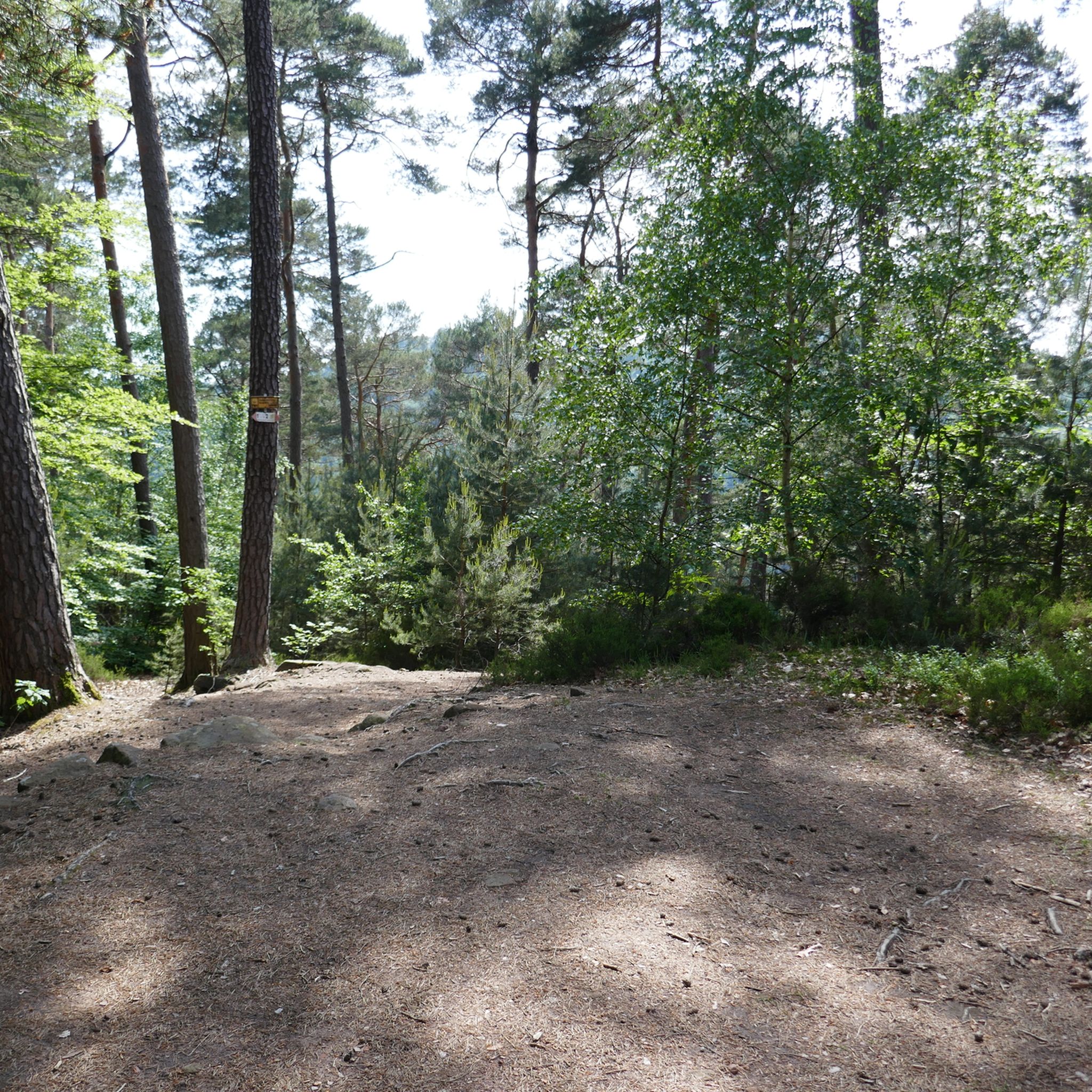
You have to find the shelter first. It's a bit hidden and then without a seat. But the parking lot is spacious and suitable for several vehicles
4
0

A cult route in the Palatinate Forest.
7
1

The “Rotsteig” is at an altitude of 340 m. It can be reached from three entrances: -Northeast driveway from Wachenheim (approx. 7 km / approx. 216 m) -Southwest driveway from Lindenberg (approx. 5 km / approx. 231 m) -Southeast driveway from Gimmeldingen (approx. 6.4 km / approx. 171 m) - note the closure!
3
0

The Totenkopfstrasse can be approached from the west via the Elmsteiner Tal or from the east either via Maikammer or alternatively Sankt Martin. The west ramp starts comfortably with an incline of around 3% but then increases to a 10% incline after a few kilometers. At the top it ends with a 7% gradient to the Totenkopfhütte. The east ramp of Maikammer has a fairly constant gradient of around 8%. The east ramp of St. Martin is a double super street, so I prefer to drive from Maikammer.
6
1

"In 1927, the municipality of Freinsheim decided to build a forester's lodge at the entrance to its approximately 436 hectare forest. At that time, the Bismarksturm on the 480m high Peterskopf had already stood for a quarter of a century. The forester's lodge received its name from the former head forester Lindemann. " Source (quoted verbatim): https://www.stadt-freinsheim.de/freizeit/gehenswuerdigkeiten There is also a bus connection here (line 489) from DÜW train station.
12
0

Great destination between Leistadt and Höningen. Small indoor area, large outdoor area with a small schnapps hut .... which invites you to hut evenings in winter, the campfire and the offered grill specialties round off the whole thing. There is a large parking lot on site, usually overcrowded on a good day, so there is usually wild parking. Many well-marked hiking trails around, the Bismarck Tower and TV Tower are the closest. The Monster Lake for people with more fitness.
11
0
Frequently Asked Questions
What kind of 'mountain passes' can I expect around Neidenfels?
The Neidenfels region, nestled in the Palatinate Forest, offers 'pass-like' experiences rather than traditional high-altitude mountain passes. You'll find numerous challenging and picturesque trails with notable elevation changes through hills, valleys, and woodlands. These routes often lead to significant viewpoints, historical sites, and unique rock formations, providing a diverse landscape for outdoor activities.
Are there good viewpoints along the mountain passes near Neidenfels?
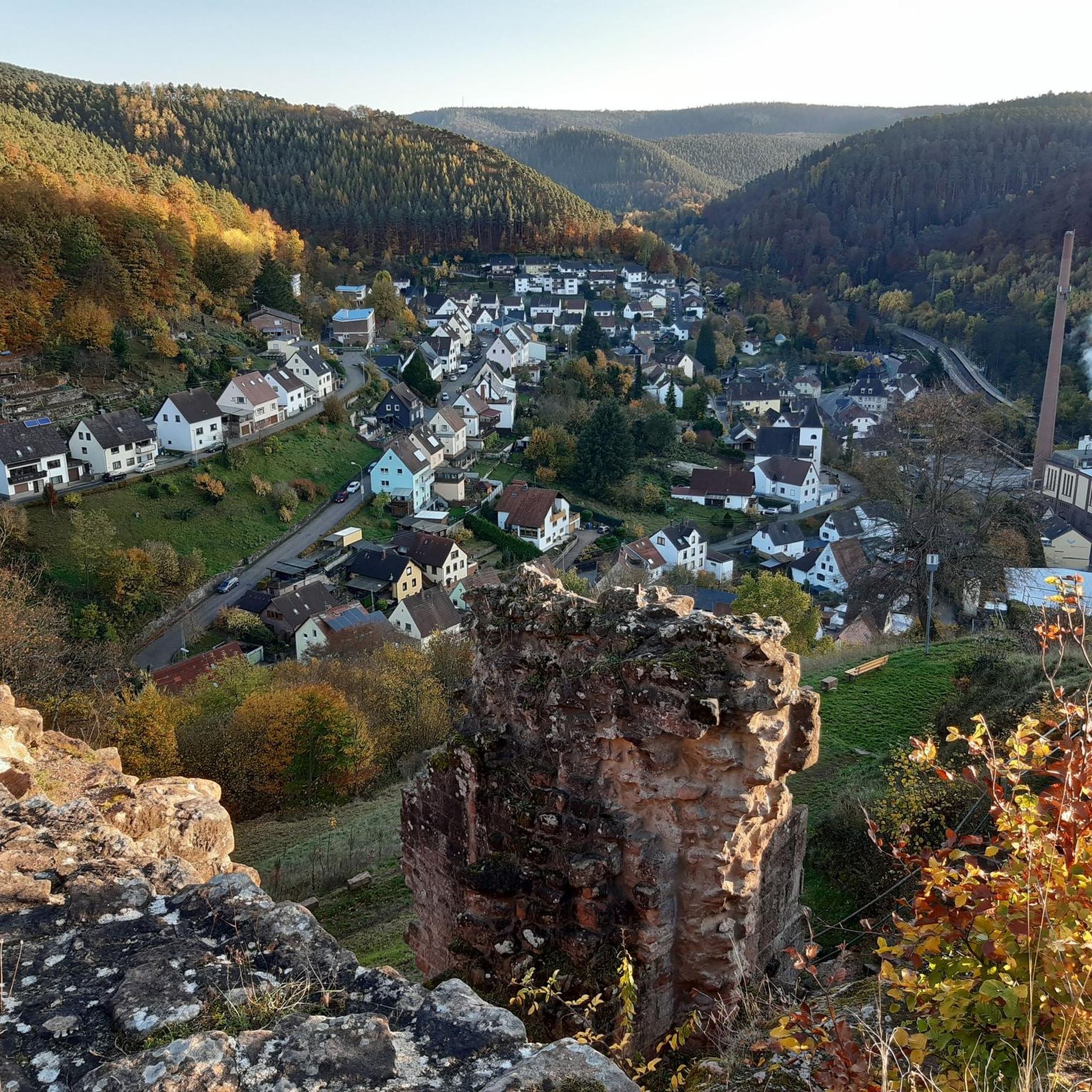
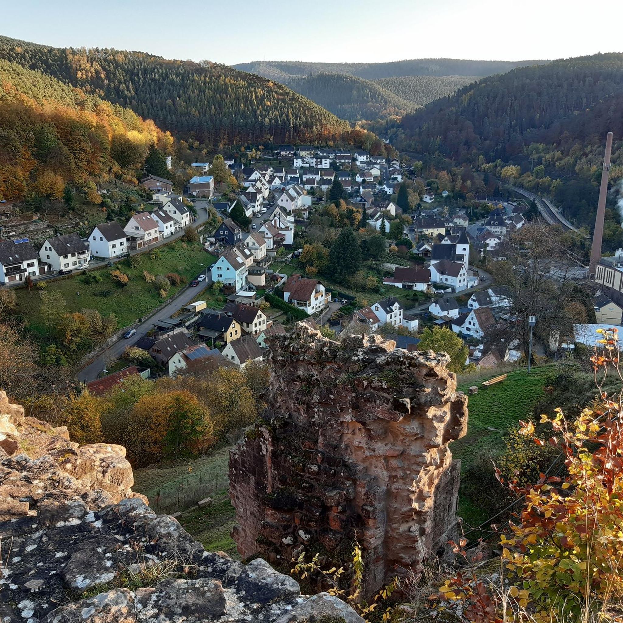
Yes, many routes around Neidenfels offer rewarding panoramic views. For instance, the Drachenfels (Dragon Rock) provides expansive vistas of the Palatinate Forest. The Kalmithöhenstraße Upper Junction is at approximately 600 meters above sea level, offering a high vantage point. Additionally, the Neidenfels Castle ruins, perched above the village, provide scenic views of the surrounding municipality.
What historical sites can I explore near the mountain passes?
The region is rich in history. You can explore the 14th-century Neidenfels Castle ruins, which are often incorporated into hiking routes. The Drachenfels also has historical significance. The Lindemannsruhe Forest Inn itself originated as a forester's lodge in 1927, adding to the historical charm of the area.
What outdoor activities can I do near these mountain passes?
The Neidenfels area is excellent for various outdoor activities. You can enjoy challenging mountain hikes, explore extensive road cycling routes, or tackle exciting MTB trails. For more details on specific routes, you can check out the Mountain Hikes around Neidenfels, Road Cycling Routes around Neidenfels, and MTB Trails around Neidenfels guides.
Are there family-friendly options for exploring the passes?
While many routes offer challenging terrain, there are also options suitable for families. The Lindemannsruhe Forest Inn is listed as family-friendly and offers a large outdoor area. The Hahnenschritt Pass parking area (565 m) is also noted as family-friendly and serves as a good starting point for various hikes, some of which are likely less strenuous.
Where can I find parking when visiting the mountain passes?
Several locations offer parking. The Hahnenschritt Pass parking area (565 m) is a very good starting point for many hikes. The Lindemannsruhe Forest Inn also has a large parking lot, though it can get crowded on weekends. For the Rotsteig Pass (340 m), be aware that parking lots can experience traffic chaos on sunny days.
What is the best time of year to visit the Neidenfels region?
The best seasons for hiking and exploring the 'pass-like' routes around Neidenfels are spring and autumn. During these times, the landscape of the Palatinate Forest is particularly vibrant, offering lush woodlands and pleasant temperatures for outdoor activities.
Are there places to eat or get refreshments near the passes?
Yes, you'll find options for refreshments. The Lindemannsruhe Forest Inn is a recommended restaurant with a large outdoor area, offering traditional Palatinate hut food and daily specials. The Palatinate Forest is also known for its network of 'Hut Trails' which connect various forest huts, providing opportunities for refreshments at traditional forest inns.
What makes the mountain passes around Neidenfels challenging?
The challenging nature of the routes around Neidenfels comes from significant elevation changes, varied terrain, and sometimes narrow, root-covered forest paths. For example, the 'Drachenfels-Trail – Drachenhöhle am Drachenfels Runde von Neidenfels' spans 17.5 km with an elevation gain of 640 meters, requiring good physical condition. Road bike climbs like Lolosruhe Pass and Rotsteig Pass (340 m) also offer a good challenge.
What do visitors enjoy most about the mountain passes around Neidenfels?
Visitors frequently appreciate the challenging terrain, the natural beauty of the Palatinate Forest Biosphere Reserve, and the rewarding panoramic views from various points. The combination of well-maintained trails, historical sites like castle ruins, and opportunities for both hiking and cycling makes the area a popular destination for outdoor enthusiasts.
Can I combine a visit to a mountain pass with other activities?
Absolutely. Many routes are designed to incorporate multiple points of interest. For instance, hikes often combine visits to the Neidenfels Castle ruins with other historical sites like the Drachenfels. Cycling routes can link different passes, such as combining Lolosruhe Pass with the Kalmit for two beautiful climbs. The Kalmithöhenstraße Upper Junction serves as a crossroads to various destinations, including the Kalmit peak and different valleys.
Most popular routes around Neidenfels
Most popular attractions around Neidenfels

Get inspired with the komoot mobile app


Explore more
See even more epic mountain passes by checking out these guides around Neidenfels:
