Top 20 Natural Monuments around Neualbenreuth
Best natural monuments around Neualbenreuth showcase the Upper Palatinate region's rich geological history and picturesque landscapes. Located in Bavaria, the area features diverse natural formations, including ancient rock outcrops, tranquil waterfalls, and sites of past volcanic activity. These locations offer insights into the region's natural heritage and provide compelling reasons for exploration. The landscape is characterized by its unique geological features and serene natural beauty.
Best natural monuments around Neualbenreuth
- The most popular natural monuments is Muglbach Waterfall, a…
Last updated: May 11, 2026
Muglbach Waterfall
Highlight • Waterfall
Translated by Google •
Tip by

Center of Europe at Tillenberg
Highlight • Monument
Translated by Google •
Tip by

Sign up now to discover places like this
Get recommendations on the best single tracks, peaks, & plenty of other exciting outdoor places.
Sign up for free
Bad Neualbenreuth
Highlight • Settlement
Translated by Google •
Tip by
Königsstein Historic Border Stone
Highlight • Monument
Translated by Google •
Tip by

Ringelfelsen
Highlight • Natural Monument
Translated by Google •
Tip by

Sign up for free to discover even more natural monuments around Neualbenreuth.
Sign up for free
Already have an account?
Start today with a free account
Your next adventure awaits.
Login or Signup
Popular around Neualbenreuth
Nurtschweg – Hiking along the German-Czech border
Bikepacking in the Upper Palatinate Forest
Experience nature at every turn – Forest Sea Trails in the Upper Palatinate Forest
Through the heart of Europe – riding the Euregio Egrensis
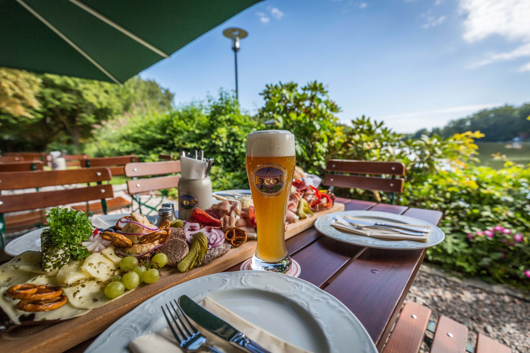
Hiking to the Inns — culinary hikes in the Upper Palatinate Forest
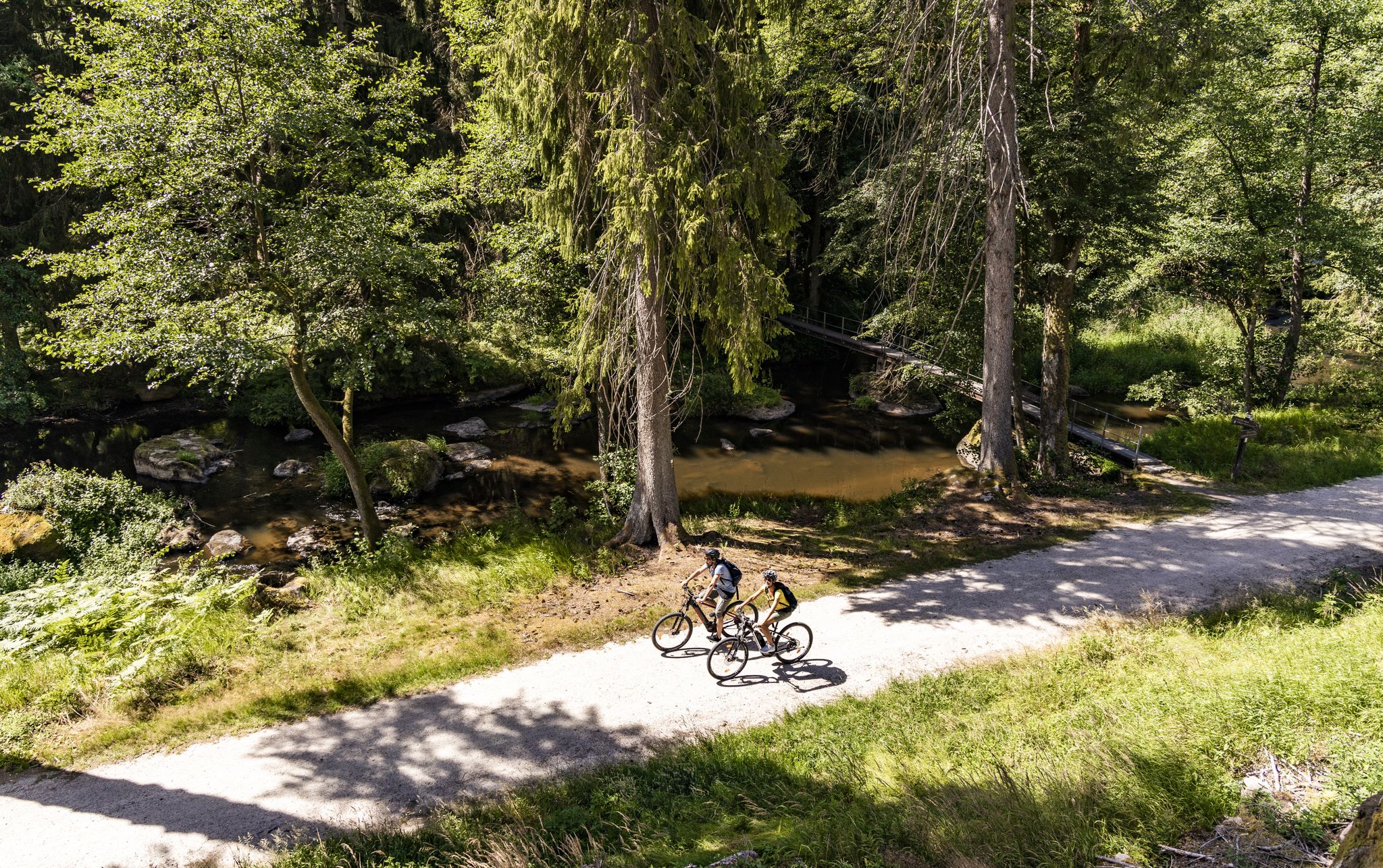
Your cycling adventure in the Upper Palatinate – Oberpfälzer Radl-Welt
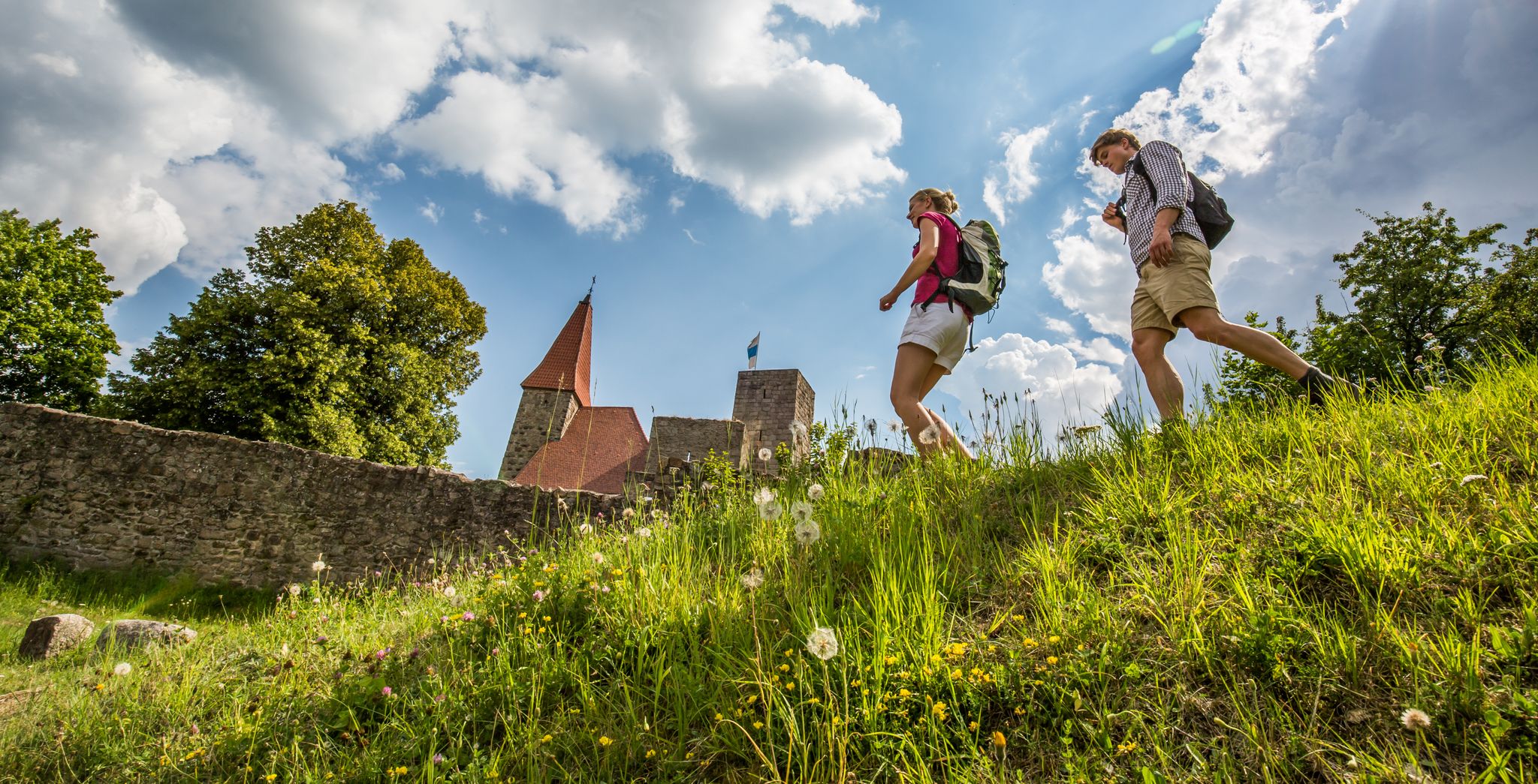
Water, forest and castles — hiking in the Upper Palatinate Forest
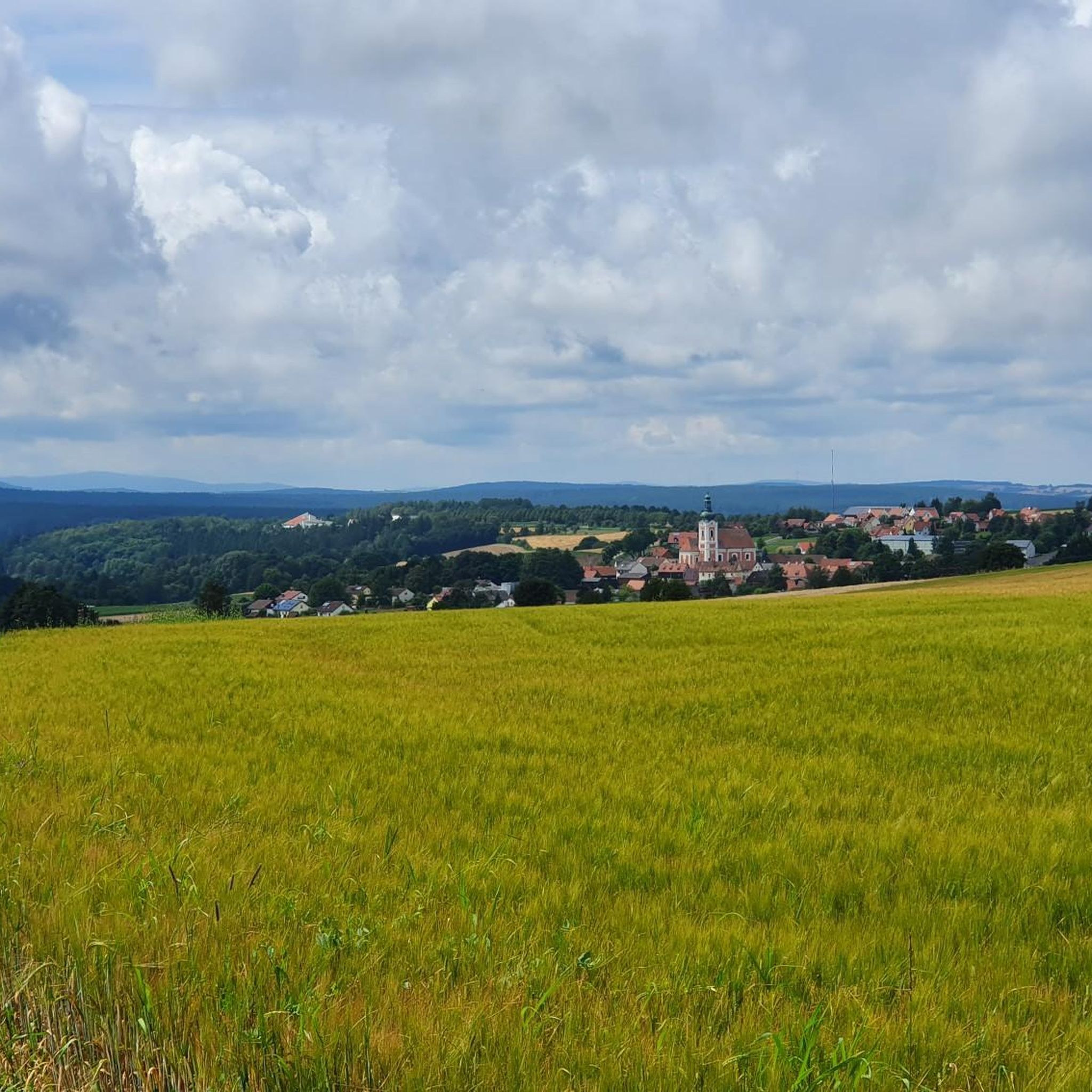
Hiking around Neualbenreuth
Cycling around Neualbenreuth
MTB Trails around Neualbenreuth
Other adventures around Neualbenreuth


Tips from the Community

The historic town of Bad Neualbenreuth is idyllically nestled in a hilly landscape. Preserved half-timbered farms from the Egerland region, the local history museum, and the baroque church bear witness to a vibrant, historic past. The Sybyllenbad health center also exudes nature, tranquility, and hospitality.
2
0

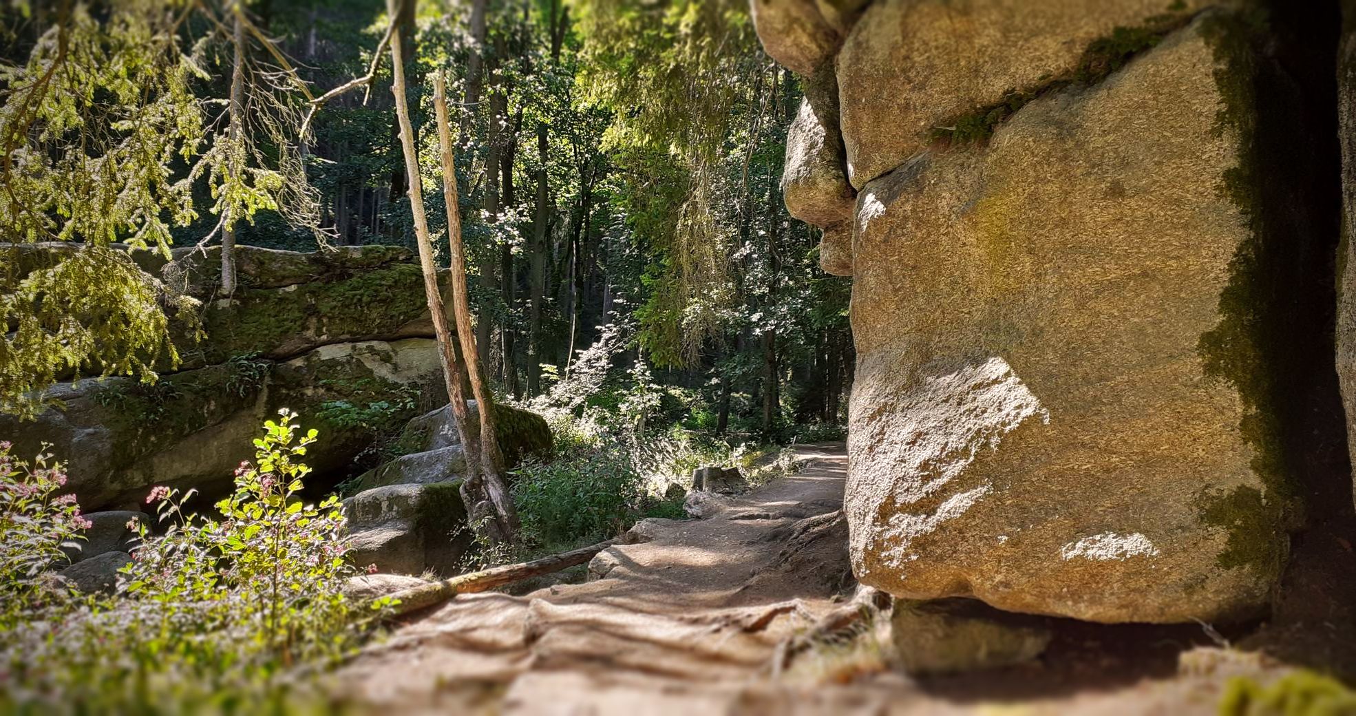
Ringelfelsen rock formation. This is one of the largest rock formations in the surrounding area. The Friends of Nature House is built directly on the rock here, with a lovely covered seating area.
1
0

The 653-meter-high Ringelfelsen (also known as the Rinnlstein) is geologically part of the Waldsassen Slate Mountains. It is composed of phyllite and was formed in the Cambrian period, approximately 541 to 485 million years ago. The name likely derives from a spring and the small stream emerging from it, marking the boundary. This "rinne" (channel) from the Rinelbrunnen (rinel fountain), which flowed onto the Rinnlwiesen (rinel meadows), gave the Rinnlstein its name in the late 19th century. Over time, the large stone near the Rinelbrunnen gradually became the Ringelfelsen (ringel rock). A wooden hut was built at this popular hiking destination in 1947, but was replaced by a brick hut after a fire. Since 1977, a cross has adorned the overhanging rock face.
14
0

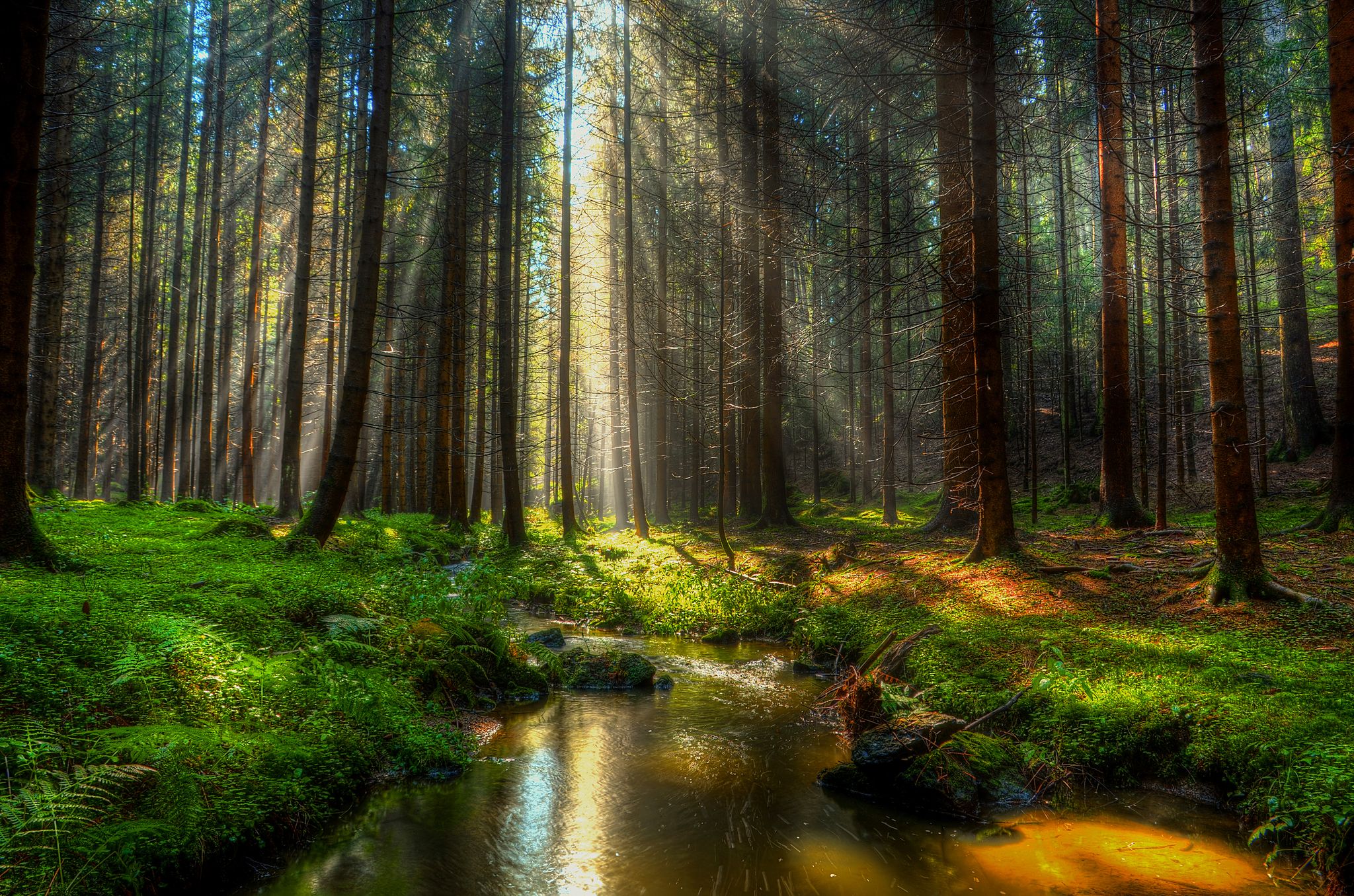
What a beautiful waterfall in the middle of the forest
5
0
The small, idyllic waterfall invites you to linger. A beautiful photo opportunity.
3
0
The Königstein is an approximately 350 million year old block of primary rock on the border hiking trail. It has been known as a boundary stone since 1591. Today it marks the border with the Czech Republic.
4
0
The original stone from 1865 stood on the summit of the Tillenberg. Today's memorial stone dates from 1985 and was erected directly on the border with the Czech Republic because of the "Iron Curtain". It can be reached on the border hiking trail.
3
0
The market town of Bad Neualbenreuth borders the Czech Republic and is a state-recognized spa. A circular structure with a diameter of 300 meters in the municipality is considered by geologists to be the remains of a former volcano; drilling in April 2015 confirmed a suspected age of 200,000 years and the theory that it is the youngest volcano in Bavaria. A monogenetic volcanic eruption created a maar, which filled with water and then, after silting up, formed the Bad Neualbenreuth raised bog. Not far away on Czech territory is the Eisenbühl volcano and the maar near Mýtina (Altalbenreuth).
8
0
Frequently Asked Questions
What unique geological features can I explore around Neualbenreuth?
The Neualbenreuth area is rich in geological wonders. You can visit the Ringelfelsen, a massive rock formation of Cambrian-era phyllite rocks. Another fascinating site is the Neualbenreuther Maar, believed to be Bavaria's youngest volcanic eruption site, dating back approximately 200,000 years. Nearby, on the German-Czech border, lies the Vulkan Eisenbühl (Železná Hůrka), an extinct scoria cone volcano with its last eruption around 300,000 years ago, which was even documented by Johann Wolfgang von Goethe.
Are there family-friendly natural monuments in the Neualbenreuth area?
Yes, several natural monuments are great for families. The Muglbach Waterfall offers an idyllic and enchanting setting with clear spring water, perfect for a peaceful outing. The Ringelfelsen is also considered family-friendly, featuring a designated resting place and monthly 'Hüttensonntag' events with refreshments from Easter to All Saints' Day.
What kind of hiking trails can I find near the natural monuments?
The natural monuments around Neualbenreuth are well-integrated into the region's hiking network. For example, the Muglbach Waterfall is readily accessible via trails like the Nurtschweg. Many routes, such as those leading to the Center of Europe at Tillenberg, can be started directly from Neualbenreuth. You can find various hiking options, including circular walks, that connect these natural sites. For more detailed routes, explore the Running Trails around Neualbenreuth guide.
Which natural monuments offer historical or cultural significance?
The region's natural monuments often intertwine with history and folklore. The Center of Europe at Tillenberg is a man-made monument marking a calculated central point of Europe, with a memorial stone and plaque. The Königsstein Historic Border Stone is an ancient landmark on the German-Czech border, considered the oldest natural boundary mark of the region. The Granatbrunnen is steeped in local legend about a stonemason and abundant garnets. Even the Ringelfelsen has a hut built in 1947, reflecting its long-standing popularity as a hiking destination.
Is the Muglbach Waterfall easily accessible?
Yes, the Muglbach Waterfall is known for its accessibility via hiking trails, such as the Nurtschweg. It's a tranquil spot where you can enjoy the sounds of the stream and forest, making it an easy and rewarding destination for visitors.
What is the Ringelfelsen known for?
The Ringelfelsen is recognized as the largest continuous rock formation in the Neualbenreuth area. It's composed of ancient phyllite rocks from the Cambrian period. Beyond its geological significance, it's a popular hiking destination with a designated resting place and hosts 'Hüttensonntag' events. Its overhanging rock faces also present challenging climbing routes and are adorned with icicles in winter.
Can I visit any volcanic sites in the region?
Yes, the Neualbenreuth area offers unique insights into volcanic activity. The Neualbenreuther Maar is a circular crater believed to be Bavaria's most recent volcanic eruption site, approximately 200,000 years ago. You can reach it on foot from the Schönstatt Chapel. Additionally, the Vulkan Eisenbühl (Železná Hůrka), an extinct scoria cone, is located directly on the German-Czech border and is one of the youngest known volcanoes in Bohemia and the Northern Upper Palatinate.
Are there any natural monuments suitable for a winter visit?
Absolutely. During winter, the overhanging rock faces of the Ringelfelsen are adorned with numerous icicles, creating a particularly picturesque scene. The tranquil forest settings around many of the natural monuments, like the Muglbach Waterfall, also offer a serene experience in winter, with only the sounds of the stream and forest.
Where can I find panoramic views of the landscape?
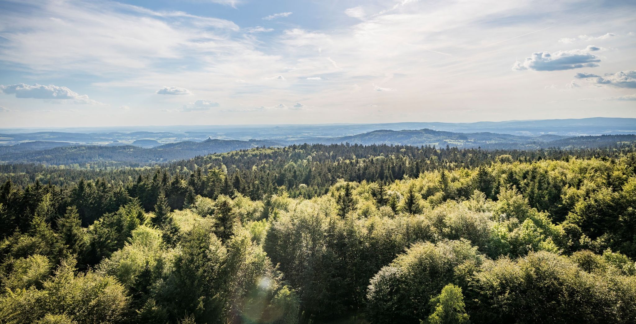
For panoramic views, the Center of Europe at Tillenberg offers excellent vistas from its elevated position. Additionally, while not a natural monument itself, the Himmelsleiter Observation Tower near Tirschenreuth provides extensive views of the picturesque Tirschenreuth Pond Landscape, known as the 'Land of a Thousand Ponds,' and is an excellent vantage point for observing local wildlife.
What makes the Granatbrunnen unique?
The Granatbrunnen is a natural spring on the Tillenberg, distinguished by a local legend. It's said that abundant red semi-precious stones, or garnets, were once found there. The tale recounts a stonemason who amassed these garnets in the deep well, only to be entombed with his treasures during a thunderstorm. This blend of natural scenery and folklore makes it a compelling stop.
Are there any natural monuments that are wheelchair accessible?
While many natural monuments involve trails, the town of Bad Neualbenreuth itself, which is considered a natural monument due to its unique geological features like the maar, has areas that are wheelchair accessible. For specific accessibility details for individual natural sites, it's always recommended to check local information or visitor centers.
What outdoor activities are available near Neualbenreuth's natural monuments?
The area around Neualbenreuth's natural monuments is ideal for various outdoor activities. You can enjoy extensive hiking through dense forests, explore challenging climbing routes at the Ringelfelsen, or embark on scenic running and cycling tours. For specific routes, consider guides like Running Trails around Neualbenreuth, Gravel biking around Neualbenreuth, or MTB Trails around Neualbenreuth.
What is the Froschfelsen?
The Froschfelsen, or 'Frog Rock,' is a distinct trapezoidal rock formation named for its unique frog-like appearance. Geologically, it's an outcrop of banded slates from the Ernestgrün-Neualbenreuth ore formation, showcasing varying layers of ancient sediments. Its unusual shape is a result of natural weathering, making it an interesting geological example and a great photo opportunity.
Most popular routes around Neualbenreuth
Most popular attractions around Neualbenreuth

Get inspired with the komoot mobile app


Explore more
Extend your search for the best caves by checking out these guides of the top ones around Neualbenreuth:
