Top 20 Natural Monuments around Bad Heilbrunn
Natural monuments around Bad Heilbrunn are situated in the Bavarian Prealps, a region characterized by its diverse geological history and varied natural landscape. The area features mountains, valleys, and significant geological formations, providing opportunities for outdoor recreation. These natural features offer insights into the region's natural heritage. Bad Heilbrunn serves as a base for exploring these natural landmarks.
Best natural monuments around Bad Heilbrunn
- The most popular natural monuments is Heiglkopf Summit, a summit that offers panoramic views of…
Last updated: September 28, 2026
Brauneck Summit Cross
Highlight • Summit
Translated by Google •
Tip by

Heiglkopf Summit
Highlight • Summit
Translated by Google •
Tip by

Sign up now to discover places like this
Get recommendations on the best single tracks, peaks, & plenty of other exciting outdoor places.
Lainbach Waterfall
Highlight • Waterfall
Translated by Google •
Tip by

Zwiesel Summit
Highlight • Summit
Translated by Google •
Tip by

Benediktenwand summit
Highlight • Summit
Translated by Google •
Tip by

Sign up for free to discover even more natural monuments around Bad Heilbrunn.
Already have an account?
Start today with a free account
Your next adventure awaits.
Popular around Bad Heilbrunn
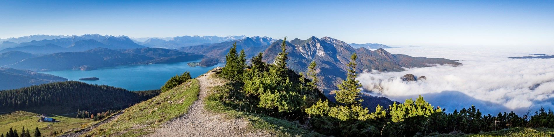
Fairytale landscapes & alpine foothills - hiking in the Tölzer Land in Bavaria
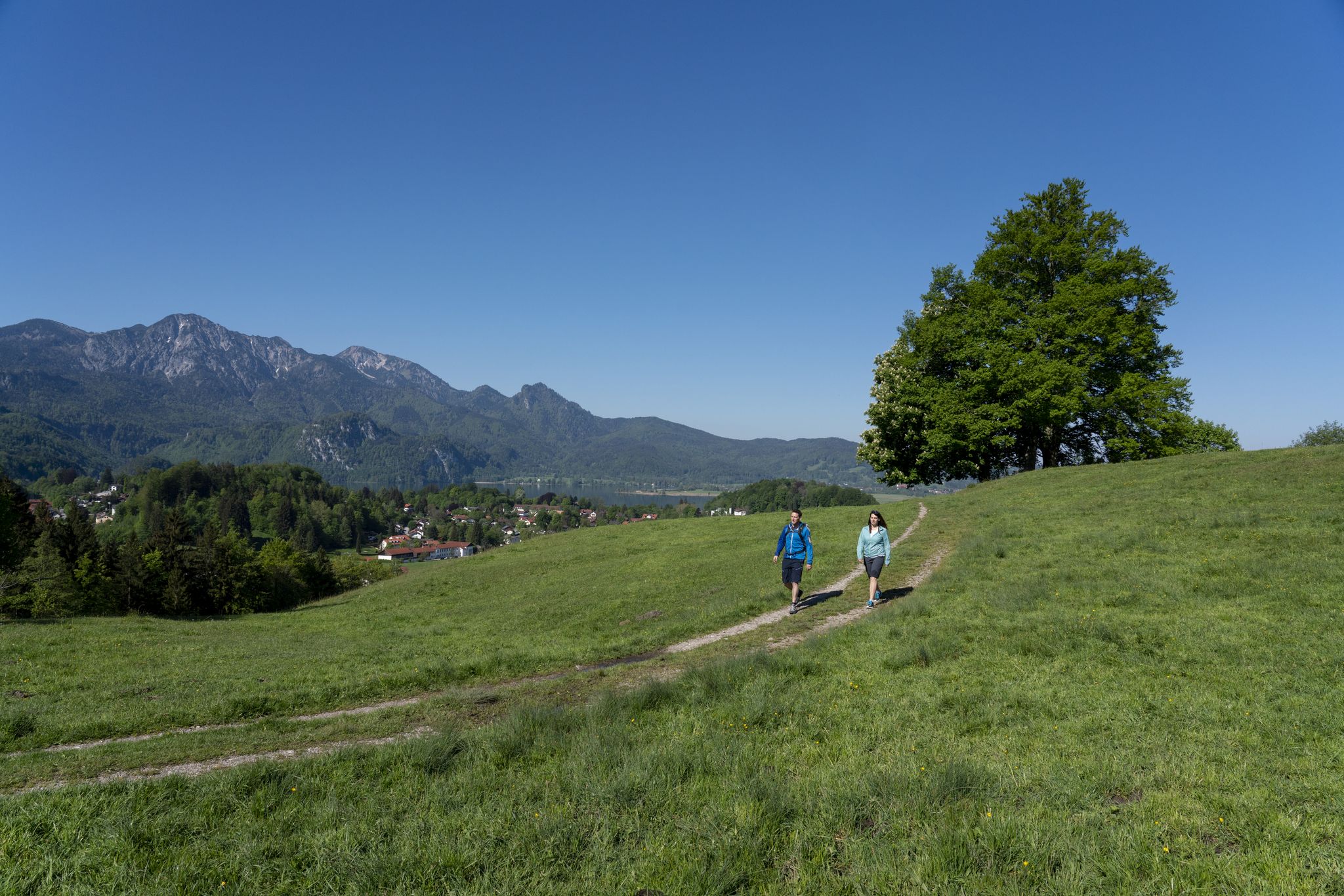
Traumhafte Wanderungen rund um den Kochelsee
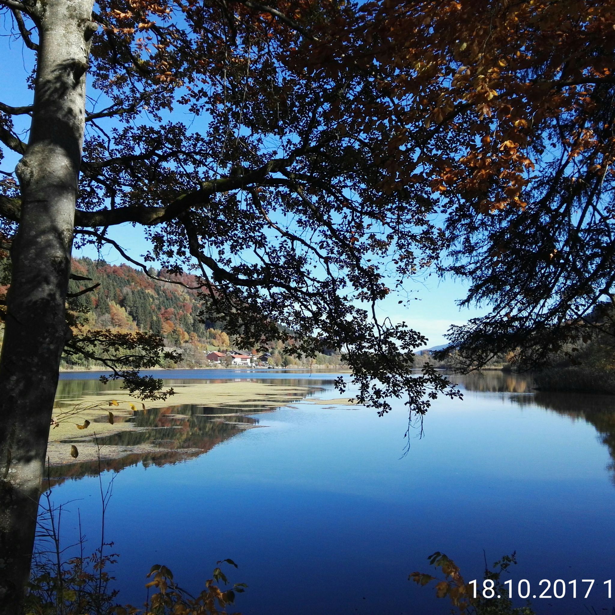
Hiking around Bad Heilbrunn
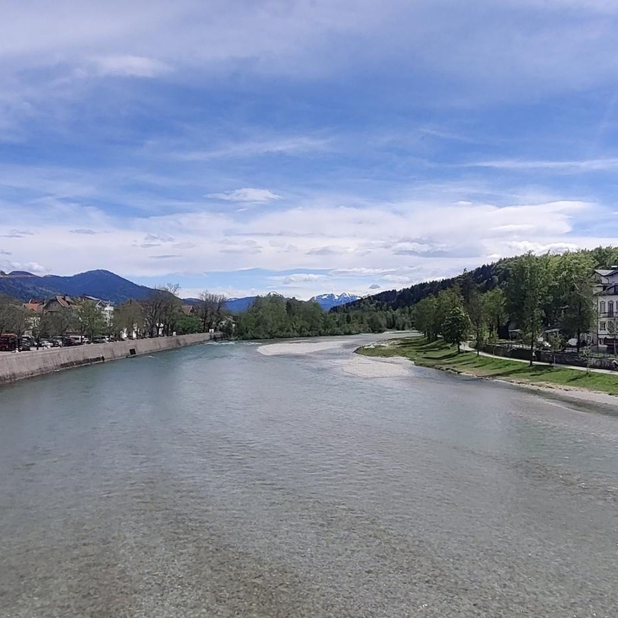
MTB Trails around Bad Heilbrunn
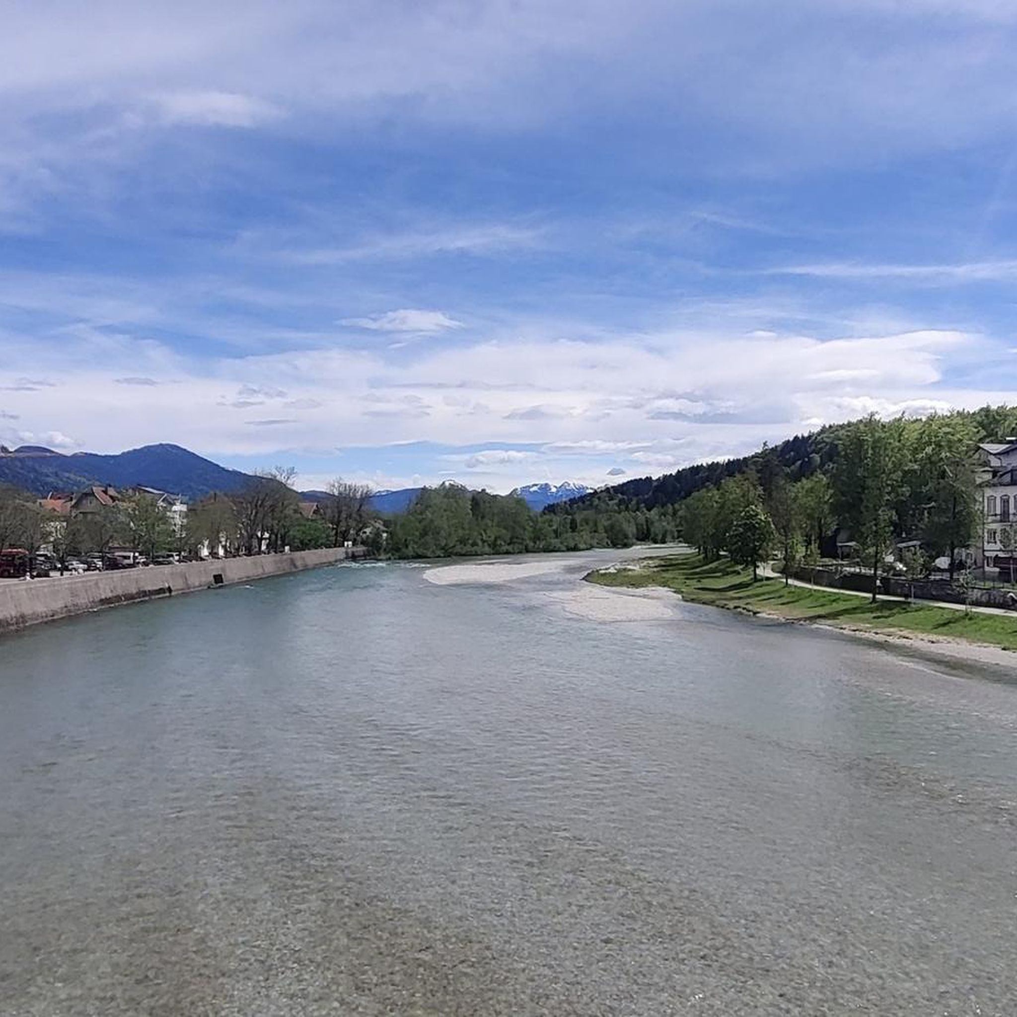
Cycling around Bad Heilbrunn
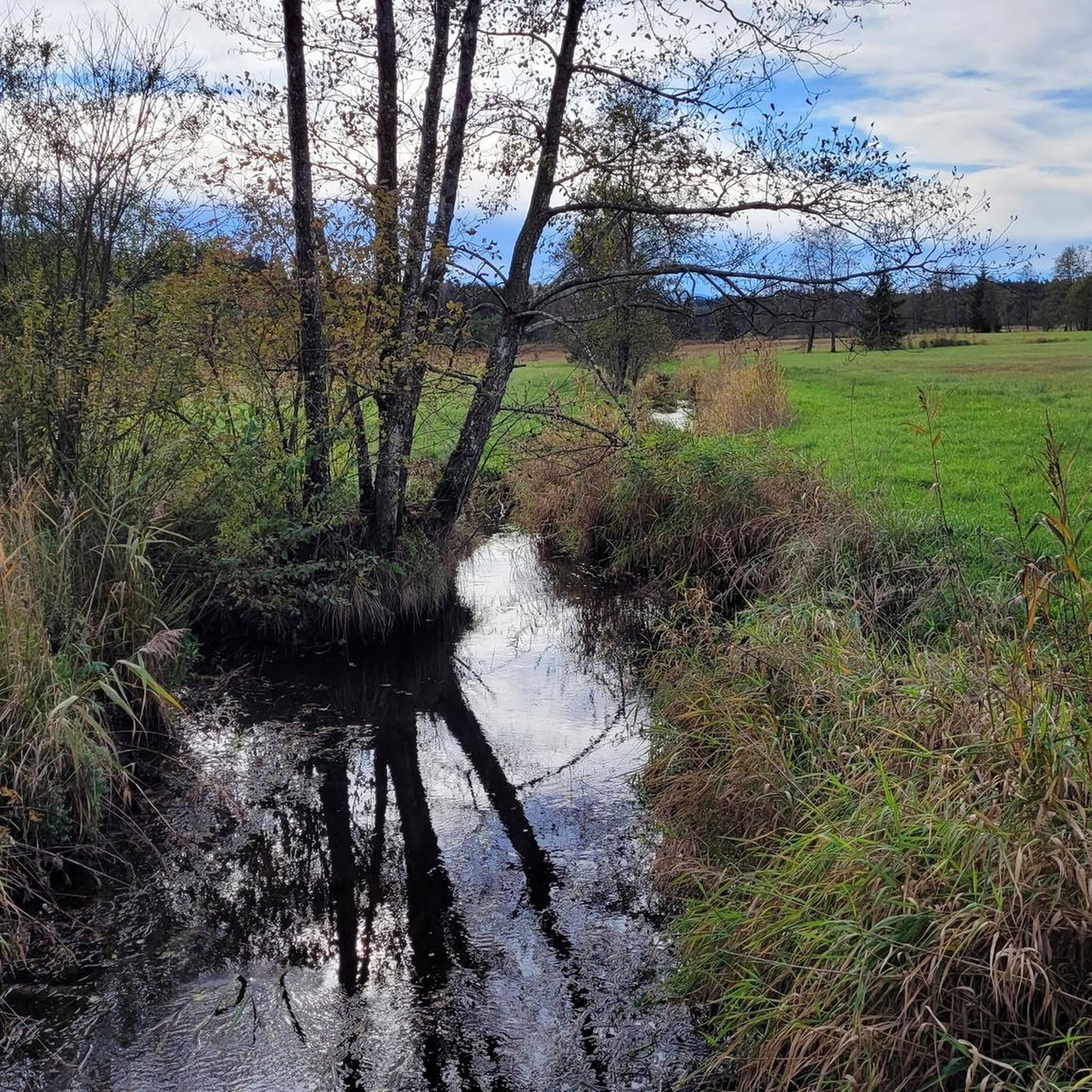
Running Trails around Bad Heilbrunn
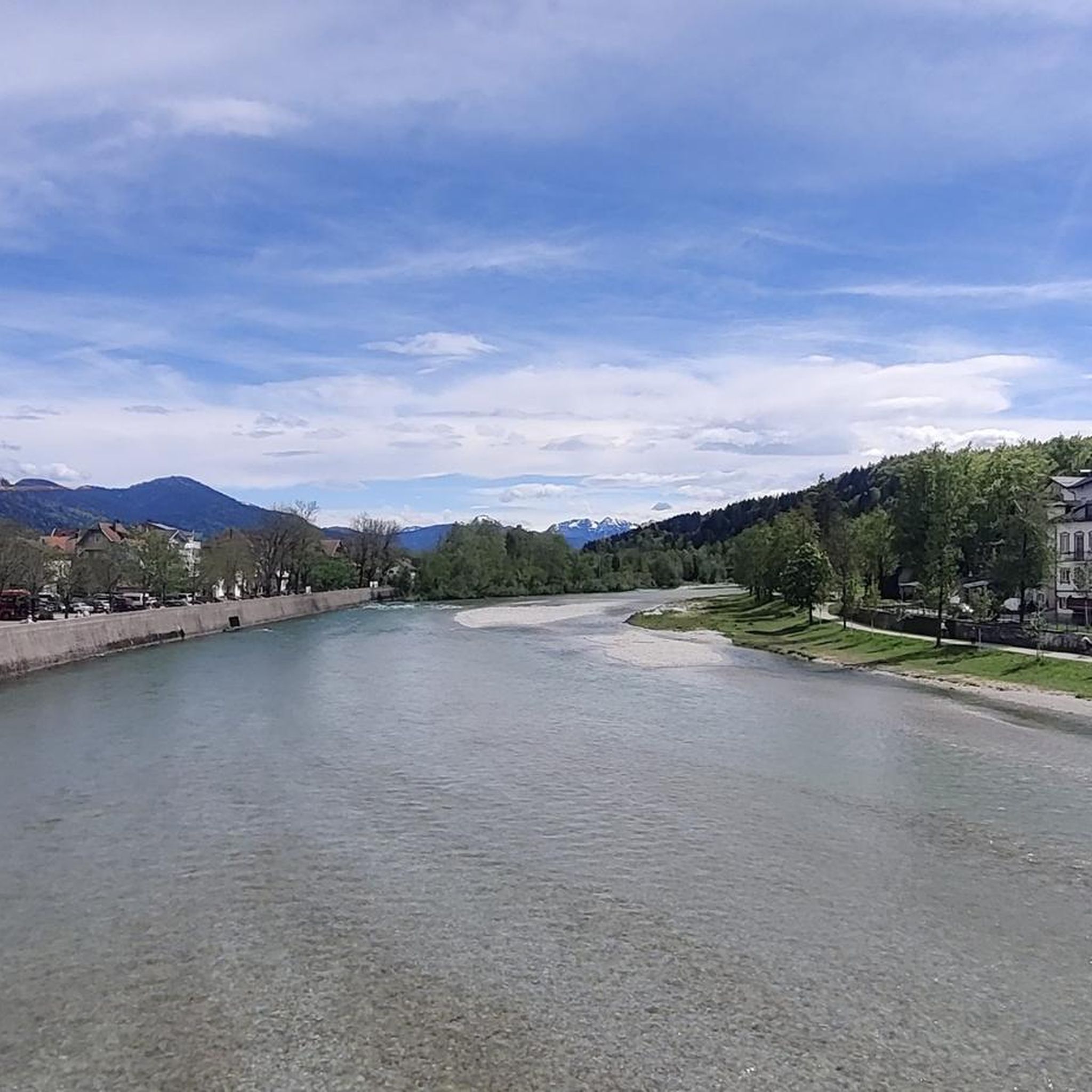
Road Cycling Routes around Bad Heilbrunn
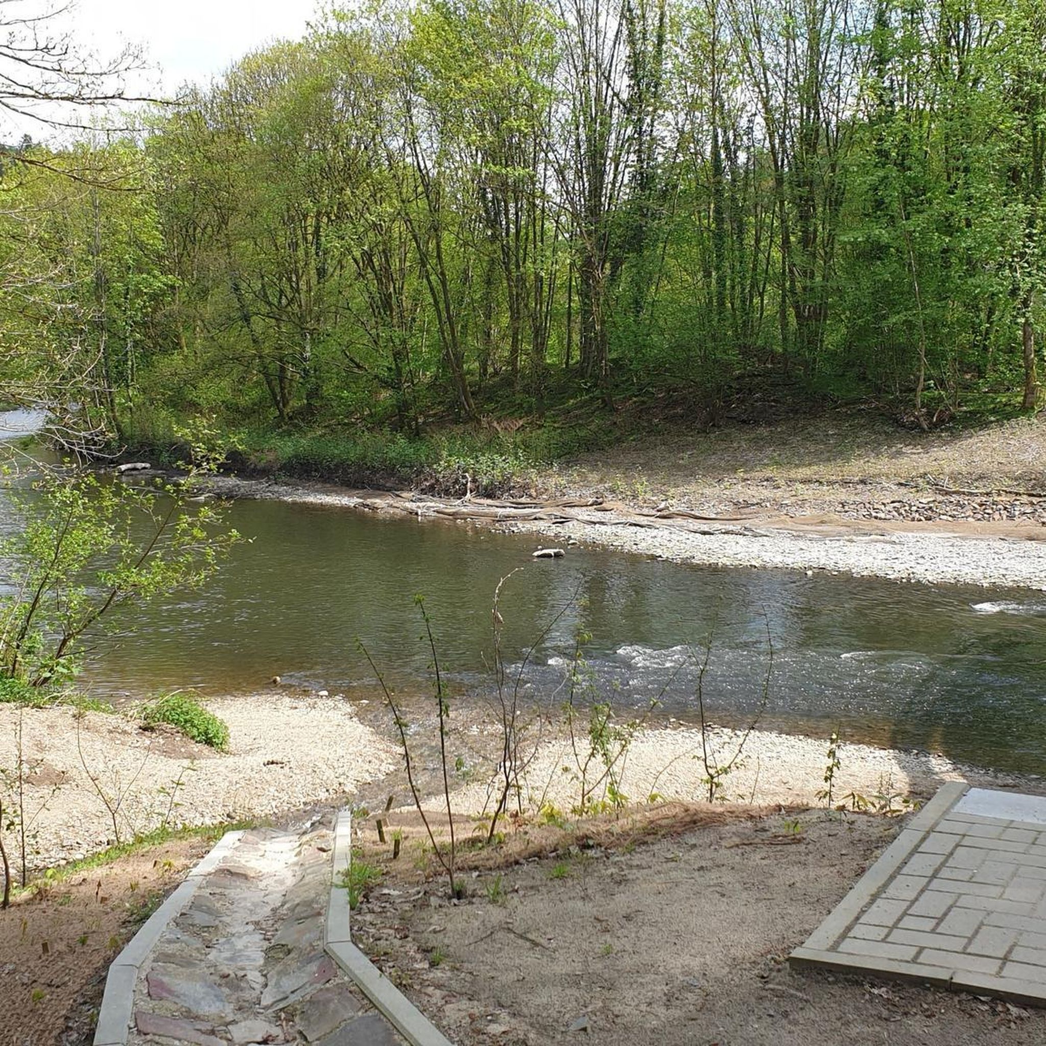
Gravel biking around Bad Heilbrunn
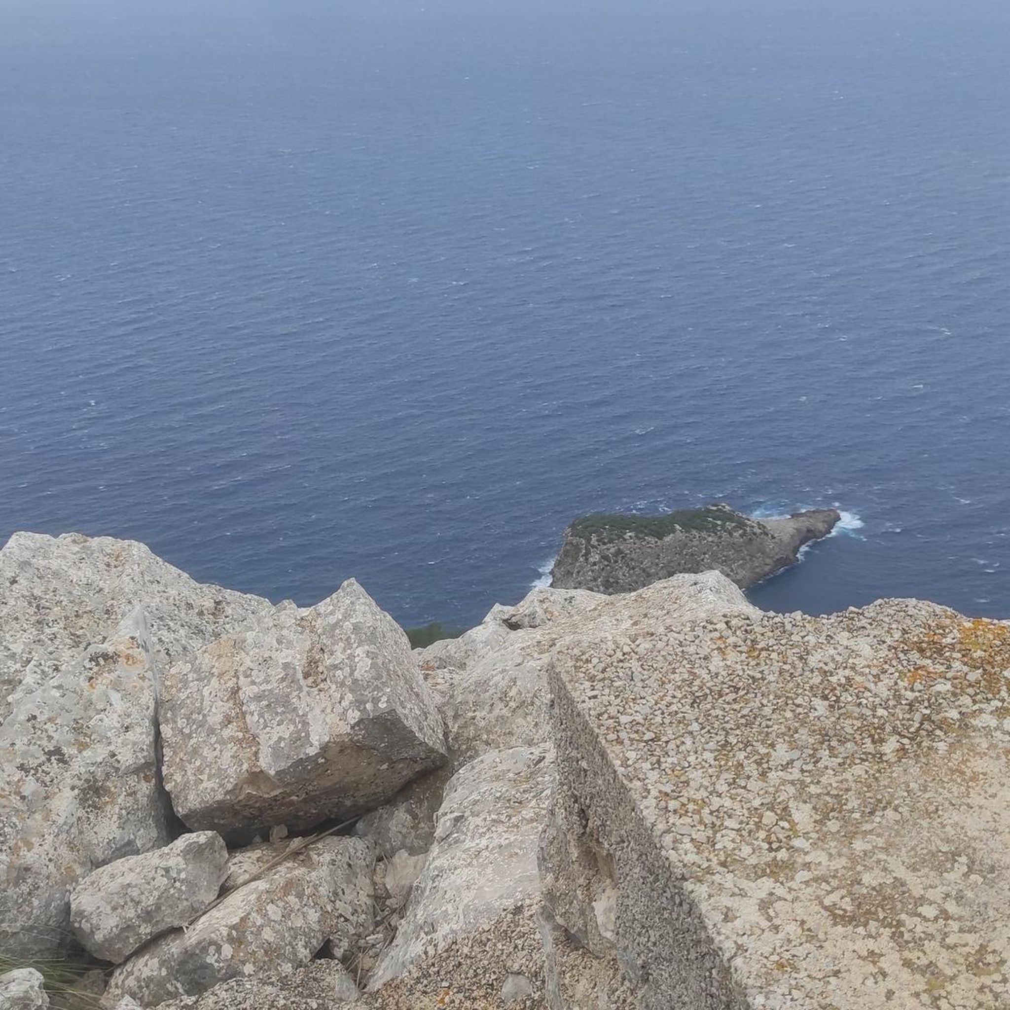
Mountain Hikes around Bad Heilbrunn

Tips from the Community

It's also great to walk in winter. Our recommendation: poles and/or spikes and walk the circuit anti-clockwise. Then it's easier to go uphill at the "critical" points!
4
0

Great hike, even for inexperienced hikers. With a great stop at Leindl Alm...
6
3


Nice view of Lengries and the Benediktinerwand
2
0

Pretty environment. Very pleasant for hiking, especially in very hot weather.
2
0

After a crisp climb, my view is impressive.
9
0

Nice panorama and especially nice at sunset
2
0
Frequently Asked Questions
What are some of the most popular natural monuments to visit around Bad Heilbrunn?
Visitors frequently enjoy the panoramic views from Heiglkopf Summit, which offers vistas of the Isar valley. Another favorite is the picturesque Lainbach Waterfall, known for its natural idyll where water cascades into a basin. The challenging but rewarding Benediktenwand summit also draws many for its extensive views from the Karwendel to Munich.
What unique geological features can I explore directly in Bad Heilbrunn?
Bad Heilbrunn is home to the fascinating Enzenau Quarry (Steinbruch Enzenau). This former sandstone quarry is a valuable geotope, famous for its 'Enzenauer Marmor,' a nummulite-rich limestone containing fossilized single-celled organisms. It offers a unique glimpse into the region's geological past, particularly the Helvetikum Zone.
Are there natural monuments suitable for families with children?
Yes, several natural monuments are family-friendly. Heiglkopf Summit is accessible for short walks and offers great views. The Lainbach Waterfall provides a beautiful, easy-to-reach natural setting. Additionally, Zwiesel Summit is also listed as family-friendly, offering magnificent views over the Alpine foothills.
Where can I find the best panoramic views of the Alps near Bad Heilbrunn?
For breathtaking panoramic views, consider Brauneck Summit Cross, which provides a 360° vista stretching from Munich to the Grossglockner on clear days. Benediktenwand summit also offers extensive views of the entire Alps chain, including several lakes. The Heiglkopf Summit provides a wonderful view of the Isar valley.
What outdoor activities can I do near these natural monuments?
The area around Bad Heilbrunn is excellent for various outdoor activities. You can find numerous MTB trails, including routes to Zwiesel Summit or with views of the Benediktenwand. There are also many options for cycling, such as loops to Stallauer Weiher or Benediktbeuern. For those who enjoy running, trails around Blomberghaus or Zwiesel Summit are available.
Are there any natural monuments that are also popular for climbing?
Yes, the Enzenau Quarry in Bad Heilbrunn is a popular climbing garden. Its north face offers various routes with difficulty levels ranging from 2 to 7, making it suitable for beginners and occasional climbers. It's known for being easily accessible, sunny, and having solid bolted anchors.
What is the best time of year to visit the natural monuments around Bad Heilbrunn?
The natural monuments around Bad Heilbrunn are generally enjoyable throughout the warmer months, from spring to autumn, when hiking and outdoor activities are most pleasant. Summits like Brauneck Summit Cross can be very crowded in summer due to the railway, so if you prefer peace, consider visiting during the shoulder seasons. Winter offers opportunities for ski touring on mountains like Brauneck, but conditions for other activities will vary.
Are there any historical or cultural aspects associated with the natural monuments?
The Enzenau Quarry has a historical connection as its 'Enzenauer Marmor' was extracted for use as building material, including for monuments and gravestones. While primarily natural, some summits like Heiglkopf Summit are also listed as historical sites, often due to summit crosses or traditional significance.
What kind of terrain can I expect on trails leading to these natural monuments?
The terrain varies significantly. For instance, routes to Heiglkopf Summit are generally accessible for short walks. However, ascents to summits like Benediktenwand summit can be challenging, involving scrambles, while others like Brauneck Summit Cross involve a 'crisp climb.' The Lainbach Waterfall is noted as very easy to reach.
Are there any other notable geological features in the wider region of Bad Heilbrunn?
Beyond the Enzenau Quarry, the wider district of Bad Tölz-Wolfratshausen, where Bad Heilbrunn is located, also features 'Findlinge' or erratic boulders. These are recognized as significant geological features, scattered in forest areas, offering further insight into the region's glacial history.
What do visitors enjoy most about the natural monuments around Bad Heilbrunn?
Visitors consistently praise the stunning panoramic views from the various summits, such as the 360° vista from Brauneck Summit Cross and the extensive Alpine views from Benediktenwand summit. The natural idyll and tranquility of places like the Lainbach Waterfall are also highly appreciated, offering a perfect spot to relax and enjoy nature.
Most popular routes around Bad Heilbrunn
Most popular attractions around Bad Heilbrunn

Get inspired with the komoot mobile app


Explore more
Extend your search for the best caves by checking out these guides of the top ones around Bad Heilbrunn:
