Top 20 Natural Monuments around Hartmannsdorf-Reichenau
Natural monuments around Hartmannsdorf-Reichenau are situated in the Osterzgebirge (Eastern Ore Mountains) in Saxony, Germany. This region is characterized by its rock formations and panoramic views. The area, sometimes referred to as "Hartmannsdorfer Schweiz," offers diverse hiking opportunities. Visitors can explore unique geological features and scenic vistas within the Sächsische Schweiz-Osterzgebirge district.
Best natural monuments around Hartmannsdorf-Reichenau
- The most popular natural monuments is Great Galgenteich, a lake that was historically created for tin mining. Today, it serves for drinking…
Last updated: July 8, 2026
Great Galgenteich
Highlight • Lake
was created in the Middle Ages for tin mining
Translated by Google •
Tip by

Klingenberg Forebay Dam
Highlight • Structure
Translated by Google •
Tip by

Sign up now to discover places like this
Get recommendations on the best single tracks, peaks, & plenty of other exciting outdoor places.
Sign up for free
Dorotheenfelsen
Highlight • Natural Monument
Translated by Google •
Tip by

Rock sea at Stephanshöhe
Highlight • Natural Monument
Translated by Google •
Tip by

Steinkuppe Summit
Highlight • Summit
The summit even has a summit book and is well looked after by the local association.
Translated by Google •
Tip by

Sign up for free to discover even more natural monuments around Hartmannsdorf-Reichenau.
Sign up for free
Already have an account?
Start today with a free account
Your next adventure awaits.
Login or Signup
Popular around Hartmannsdorf-Reichenau
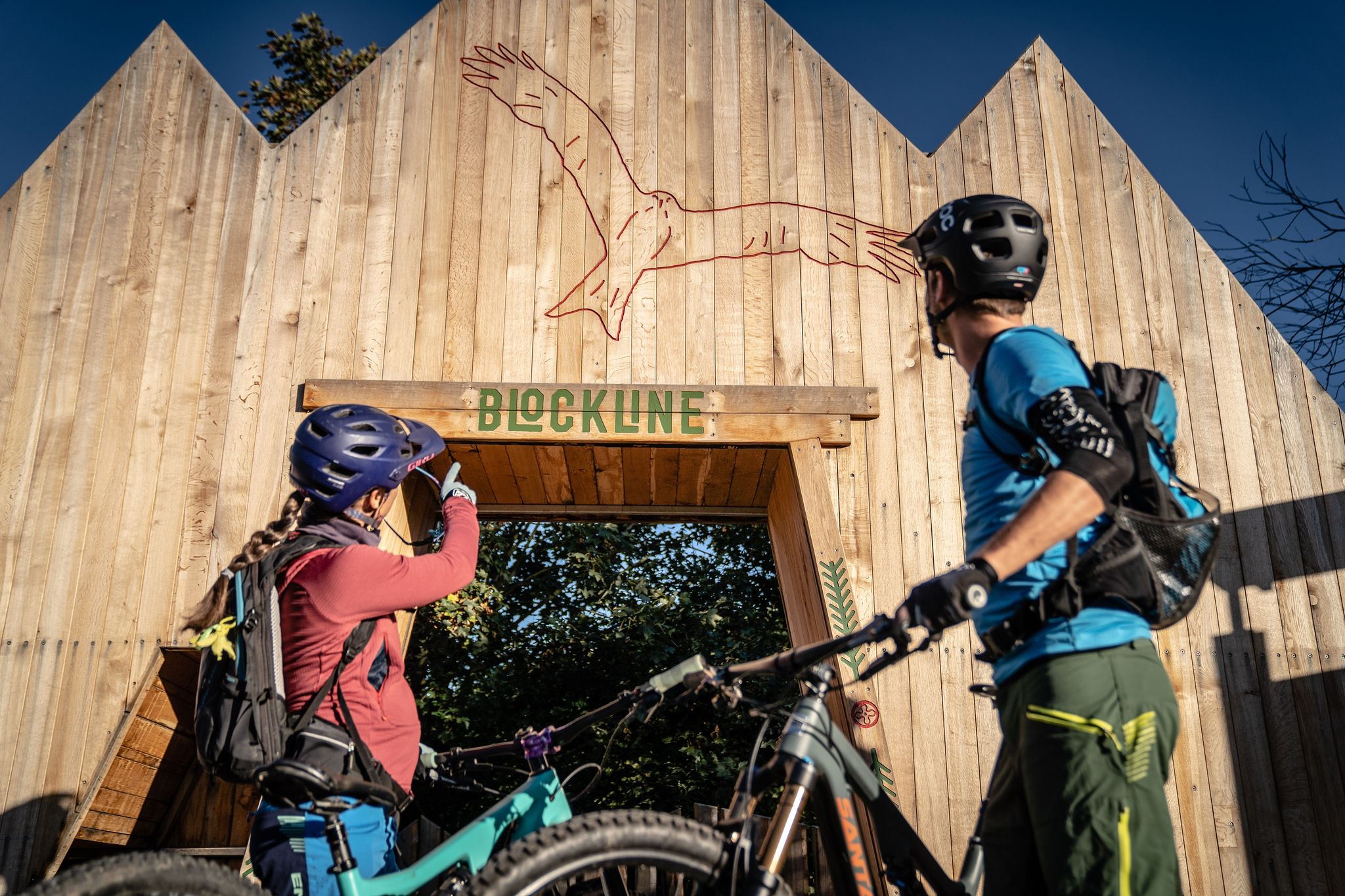
BLOCKLINE – Dein Bike-Abenteuer im Erzgebirge
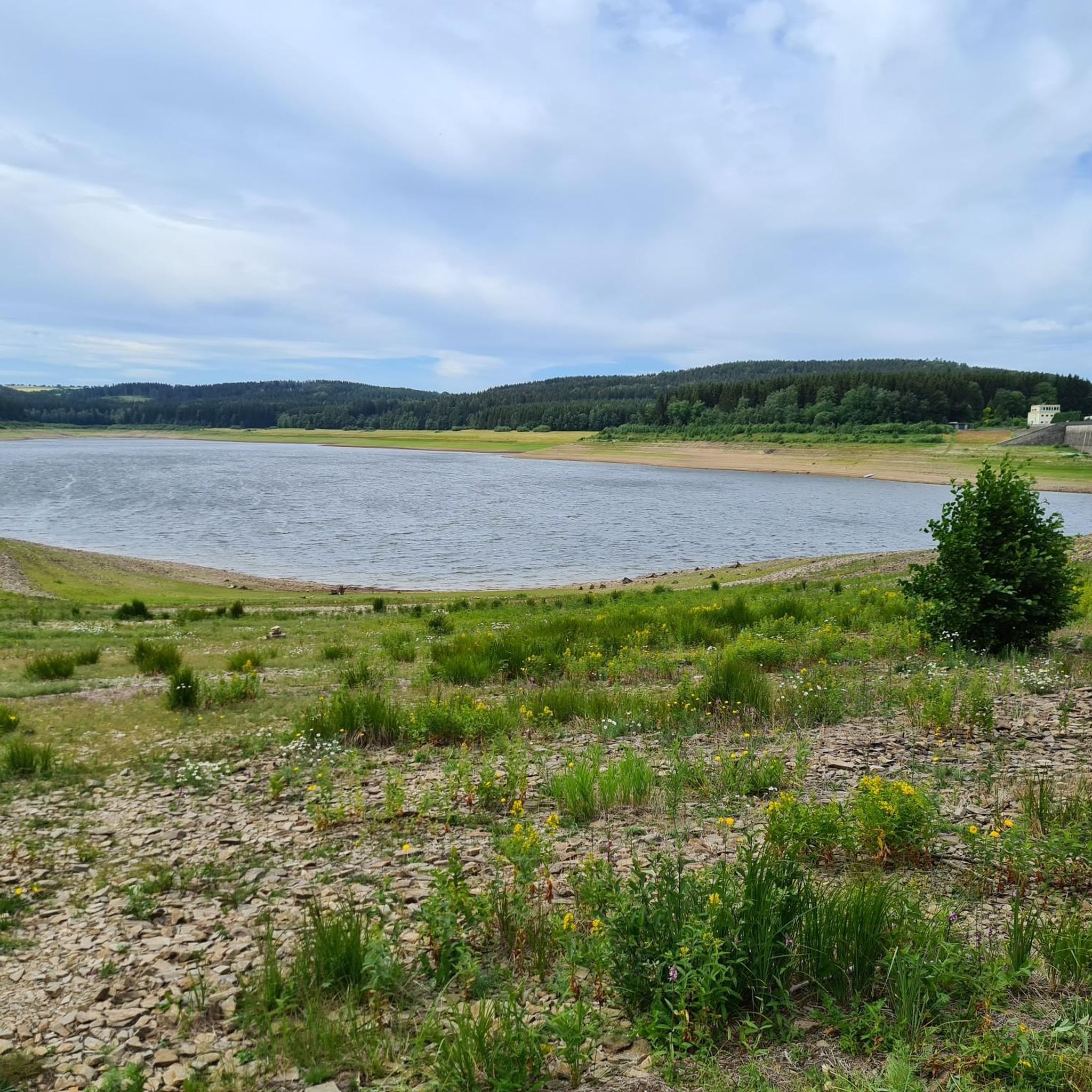
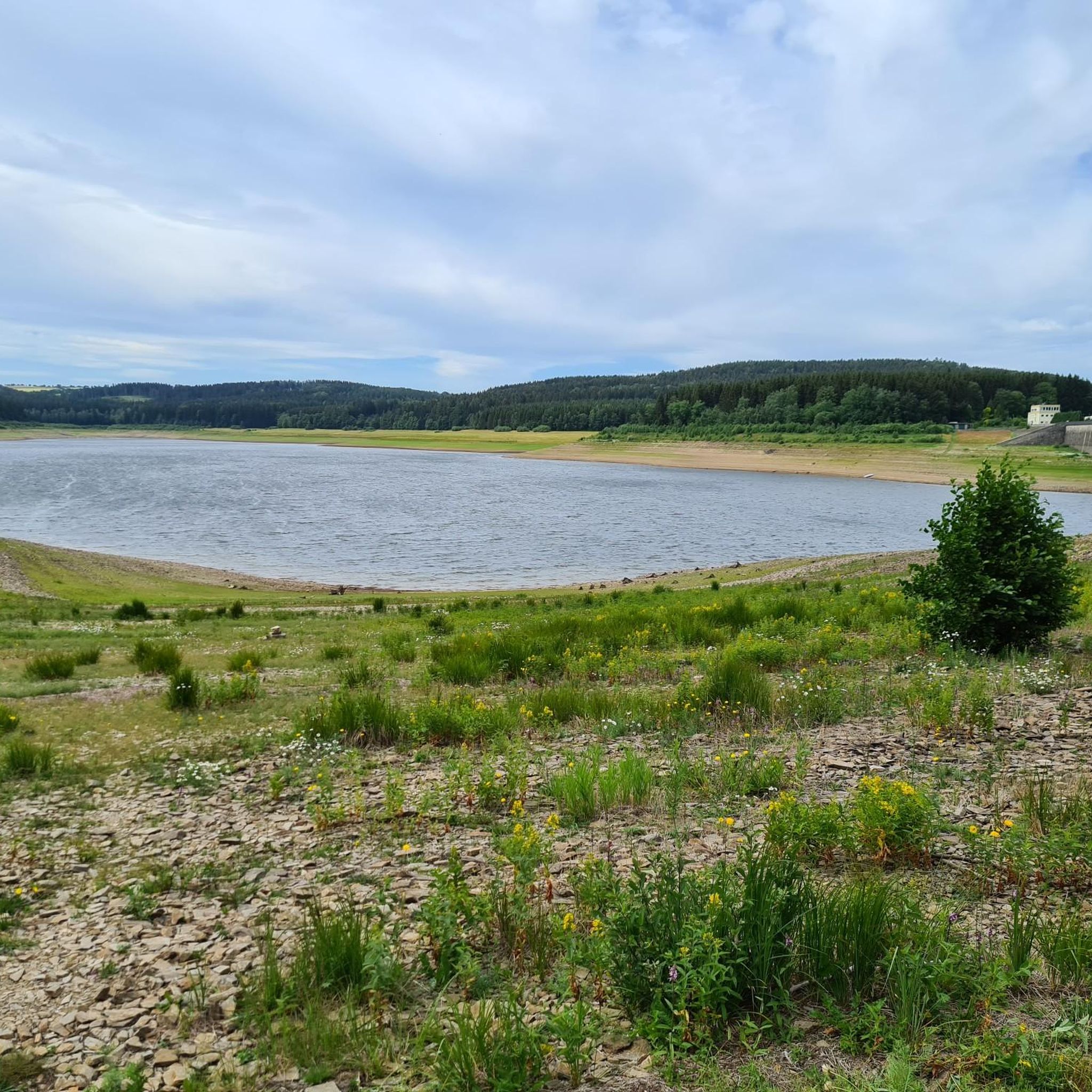
Hiking around Hartmannsdorf-Reichenau
Cycling around Hartmannsdorf-Reichenau
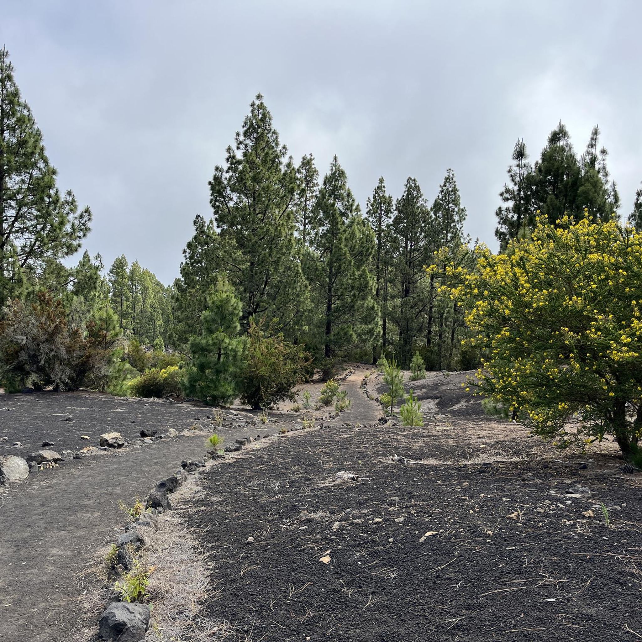
Gravel biking around Hartmannsdorf-Reichenau
Road Cycling Routes around Hartmannsdorf-Reichenau
MTB Trails around Hartmannsdorf-Reichenau
Running Trails around Hartmannsdorf-Reichenau
Other adventures around Hartmannsdorf-Reichenau

Tips from the Community

Beautiful place with a great view. The sea of stones at Stephanshöhe is a station on the 14x8000 and was probably also the devil's place of refuge, according to the story on the information board.
5
0

The Stephanshöhe is one of the eight-thousanders in the Ore Mountains. You will need to bring an ink pad or pencil with you to the stamp office. A bench invites you to take a break.
3
0

Steinmeer at the Stephanshöhe The Steinmeer is located on the western edge of the approximately 15 km² Schellerhauer granite. In the period between Carboniferous and Permian, this rose as molten magma in the gneiss of the Erzgebirge basement and in the surrounding Teplice rhyolite and solidified below the earth's surface. Over time, the Schellerhauer granite was exposed by erosion. The penetration of the Schellerhauer and other granites in the Altenberg area was accompanied by a partial transformation of the adjacent rock. This also prevents the formation of numerous deposits, e.g. B. of tin and iron connected. The Teplice rhyolite here, which was heavily stressed by the geological processes mentioned, was gradually broken down to block and stone size, mainly by frost weathering. The Steinmeer on the Stephanshöhe is a witness to this process.
2
1

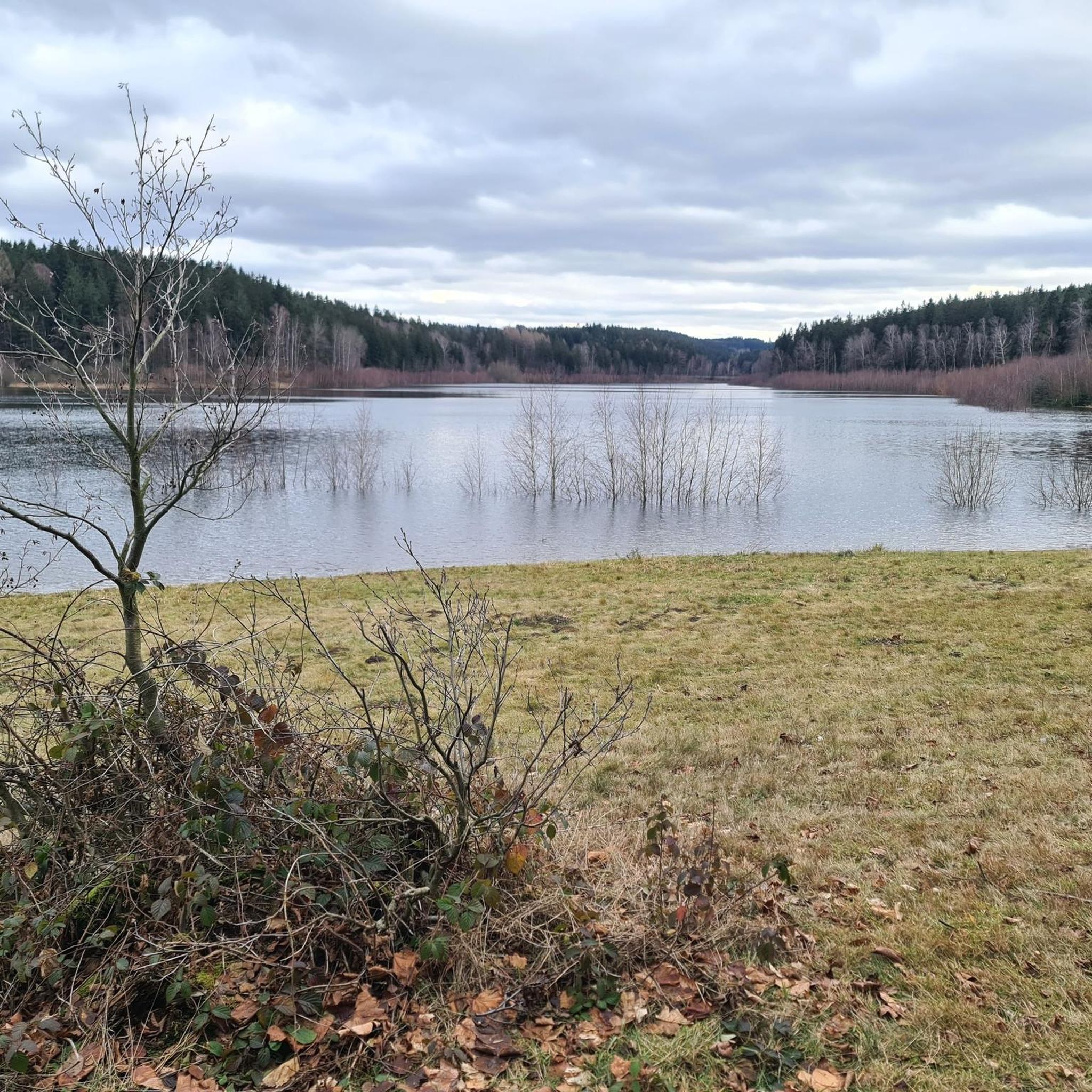
The Dorotheenfelsen is a rocky outcrop on the eastern bank of the Klingenberg dam, which consists of orthogneiss. Gently rising slopes usually line the edges of the Klingenberg dam. But at one point there is a large ledge right on the path. A small sign tells the hiker that this is the Dorotheenfelsen. According to legend, the beautiful miller's daughter from the wood mill met her lover here. The old mill is now hidden by the water of the dam, the rock is still standing and at its foot you can sit on a bench. If you want, you can also climb up (caution, there is no path) and enjoy the beautiful view over the reservoir. - https://www.dresden-elbland.de/de/poi/geotop/dorotheenfelsen-klingenberg/60324250/
0
0

We are from Rehefeld on the winter toboggan run to the Hemmschuh, then along the railway embankment to the Teichhaus, on the other side of the street along the Freiberger Mulde and steeply uphill via Dreidellenweg to the Drachenkopf 👍🤩 Departure then to the Teichhaus and again steeply uphill to the Steinkuppe with the summit cross 👍🤗E MTB or E trekking bike required☝️😄
1
0


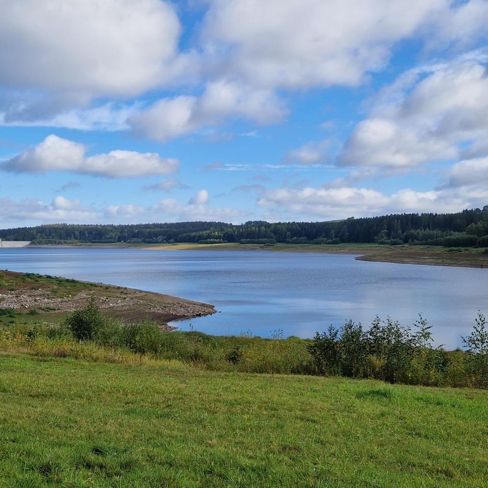
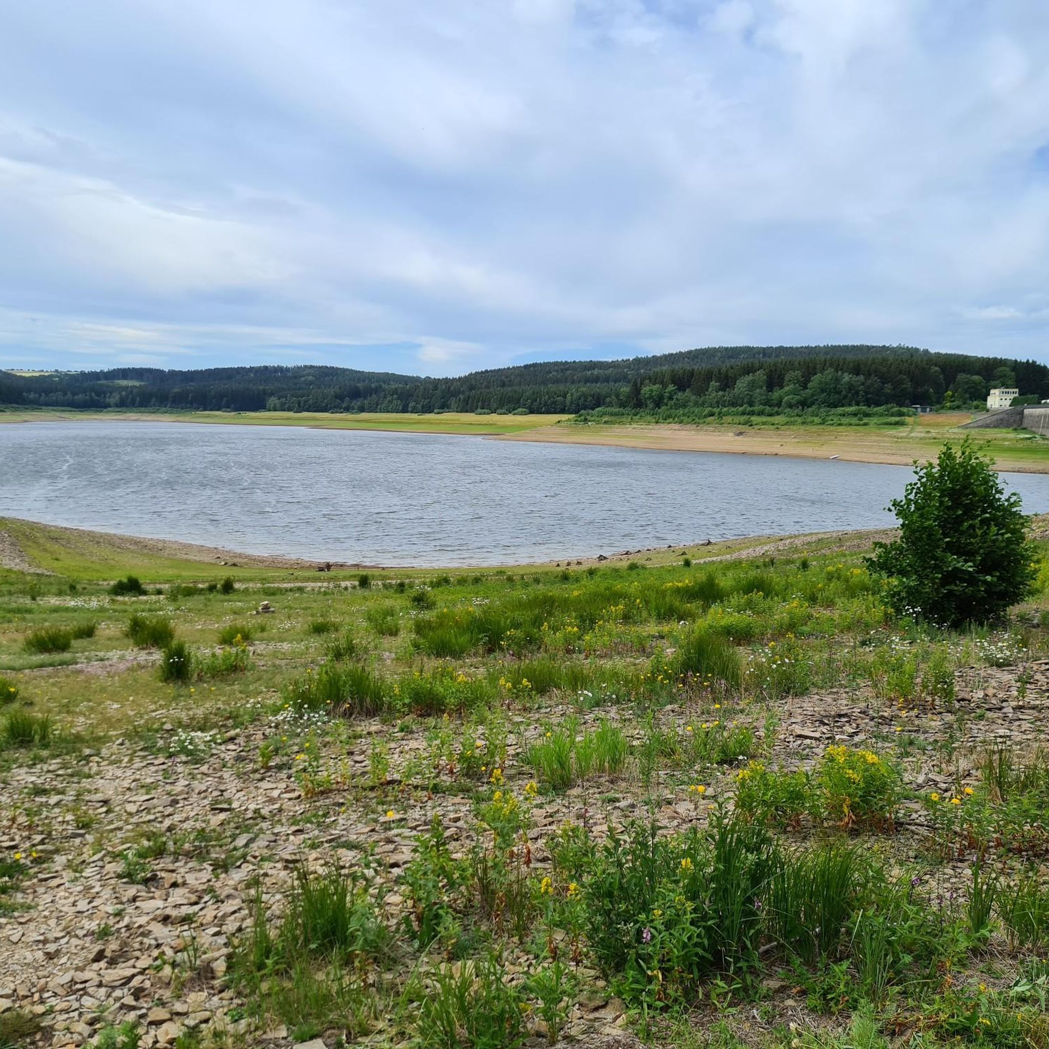
Here you can see the amount of water that is in motion.
5
0
Here you can walk around the dam or drive to the Lehnmühle dam.
5
2
Frequently Asked Questions
What are some of the most popular natural monuments to visit around Hartmannsdorf-Reichenau?
Visitors frequently enjoy the Great Galgenteich, a historic lake with a beautiful circular route and mountain views. Another highly-rated spot is the Rock sea at Stephanshöhe, known for its impressive views and unique geological features. The Steinkuppe Summit is also popular, offering a summit book and being part of the "BLOCKLINE" mountain bike route.
Are there family-friendly natural monuments in the Hartmannsdorf-Reichenau area?
Yes, several natural monuments are suitable for families. The Great Galgenteich offers an easy circular route that's enjoyable for all ages. The Lichtenberg Dam is also family-friendly, with its wall accessible for walking and offering great views.
What kind of natural features can I expect to see in Hartmannsdorf-Reichenau?
The region is characterized by its striking rock formations and panoramic views, especially in areas like the "Hartmannsdorfer Schweiz." You'll find beautiful lakes such as the Great Galgenteich and the Lichtenberg Dam, as well as distinctive rock outcrops like the Dorotheenfelsen and the Rock sea at Stephanshöhe. Summits like Steinkuppe Summit provide elevated viewpoints.
What outdoor activities can I do near the natural monuments in Hartmannsdorf-Reichenau?
The area offers diverse outdoor activities. You can explore numerous running trails, with options like the Hysselsberg – Plateau loop or the Trail at Lehnmühle Dam loop. Cycling is also popular, with routes such as the View of Frauenstein Castle loop. For mountain biking enthusiasts, there are gravel biking routes like the Rauschenbach Reservoir loop. You can find more details on these activities in the Running Trails, Cycling, and Gravel Biking guides for Hartmannsdorf-Reichenau.
Are there any natural monuments with historical significance in the region?
Yes, the Great Galgenteich was historically created in the Middle Ages for tin mining. The Lichtenberg Dam also holds regional historical significance, commemorating its construction between 1967 and 1973, and features a ring piston valve from circa 1970 of technical-historical importance.
What makes the "Hartmannsdorfer Schweiz" area special?
The "Hartmannsdorfer Schweiz" (Hartmannsdorf Switzerland) is known for its collection of unique rock formations and expansive panoramic views. While not a national park, it shares a similar rugged aesthetic with the famous Saxon Switzerland, offering diverse hiking opportunities and scenic vistas within the Sächsische Schweiz-Osterzgebirge district.
Can I bring my dog to the natural monument trails?
While specific dog-friendly designations for every monument aren't always listed, the paths leading to prominent features like Großvaterstuhl (mentioned in region research) are generally easy to navigate and suitable for various fitness levels, even with a dog. Many outdoor trails in the region are generally welcoming to dogs, but it's always advisable to keep them on a leash and respect local regulations.
What is the best time of year to visit the natural monuments around Hartmannsdorf-Reichenau?
The Osterzgebirge region is beautiful year-round. Spring and autumn offer pleasant temperatures for hiking and vibrant foliage. Summer is ideal for longer days and enjoying the lakes. Even in the foliage-free season, places like the Dorotheenfelsen offer good views over the reservoir, suggesting winter can also be a rewarding time for clear vistas.
Are there any easy walks to natural monuments for less experienced hikers?
Yes, the circular route around the Great Galgenteich is considered easy and offers beautiful mountain views. The paths leading to the Großvaterstuhl (a prominent rock formation in the area) are also generally easy to navigate. These options are great for those seeking a more relaxed outdoor experience.
What kind of views can I expect from the natural monuments?
Many natural monuments in the region offer impressive panoramic views. For instance, the Rock sea at Stephanshöhe and the Steinkuppe Summit are noted for their great vistas. The Dorotheenfelsen provides a good view over the Klingenberg dam, especially when trees are bare.
How long does it typically take to explore some of the natural monuments?
The duration varies depending on the monument and your chosen activity. A circular route around the Great Galgenteich can be a pleasant walk. For more extensive exploration, areas like the "Hartmannsdorfer Schweiz" offer diverse hiking opportunities that can fill several hours or even a full day, depending on the trails you choose.
What geological features are prominent in the Hartmannsdorf-Reichenau area?
The region is known for its distinctive rock formations, such as the "striking rock" of Großvaterstuhl and the collection of formations found in the "Hartmannsdorfer Schweiz." The Dorotheenfelsen, for example, is a rocky outcrop consisting of orthogneiss, showcasing the area's geological diversity.
Most popular routes around Hartmannsdorf-Reichenau
Most popular attractions around Hartmannsdorf-Reichenau

Get inspired with the komoot mobile app


Explore more
Extend your search for the best caves by checking out these guides of the top ones around Hartmannsdorf-Reichenau:
