Top 4 Mountain Passes around Markneukirchen
Best mountain passes around Markneukirchen are located in the Vogtland region, offering numerous elevated points and hiking trails. This area provides panoramic views and a journey through diverse landscapes, embodying a mountain pass experience through its elevation and scenic beauty. Markneukirchen features over 70 km of marked hiking trails, providing access to its natural and historical landmarks.
Best mountain passes around Markneukirchen
- The most popular mountain passes is Loipen Bridge Mühleithen, a bridge and mountain pass that represents the…
Last updated: June 24, 2026
Mühlleithen Pass
Highlight • Mountain Pass
Translated by Google •
Tip by

Loipen Bridge Mühleithen
Highlight • Bridge
Translated by Google •
Tip by

Sign up now to discover places like this
Get recommendations on the best single tracks, peaks, & plenty of other exciting outdoor places.
Sign up for free
Gopplasgrüner Höhe Pass
Highlight • Mountain Pass
Translated by Google •
Tip by

Pass on Cycle Route 23
Highlight • Mountain Pass
Translated by Google •
Tip by

Start today with a free account
Your next adventure awaits.
Login or Signup
Popular around Markneukirchen
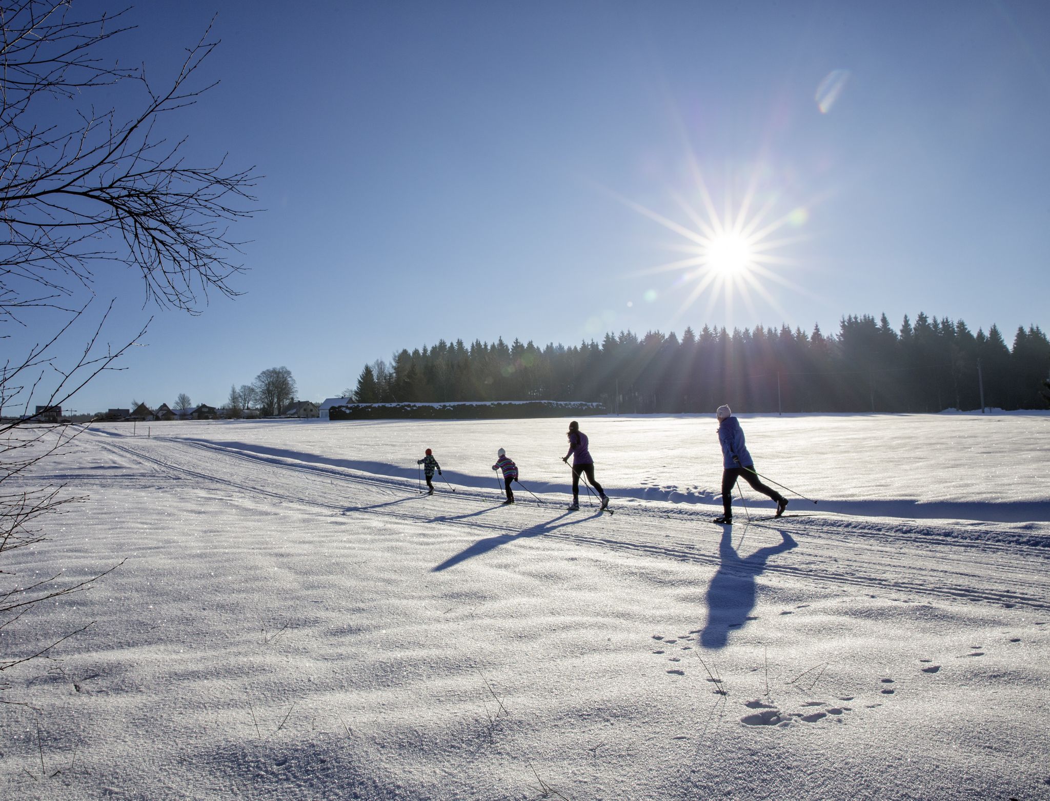
A snowy paradise – winter hiking and cross-country skiing in Germany’s Vogtland
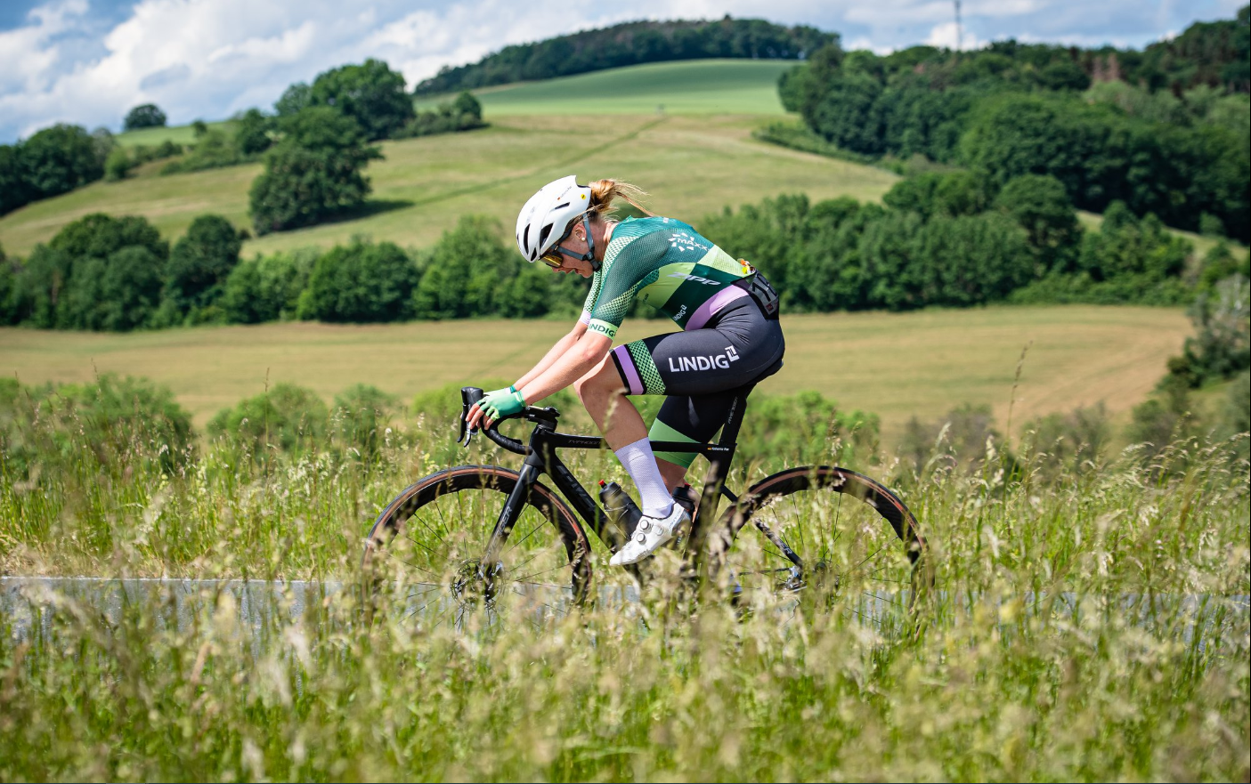
Gravel and road cycling in the Vogtland region
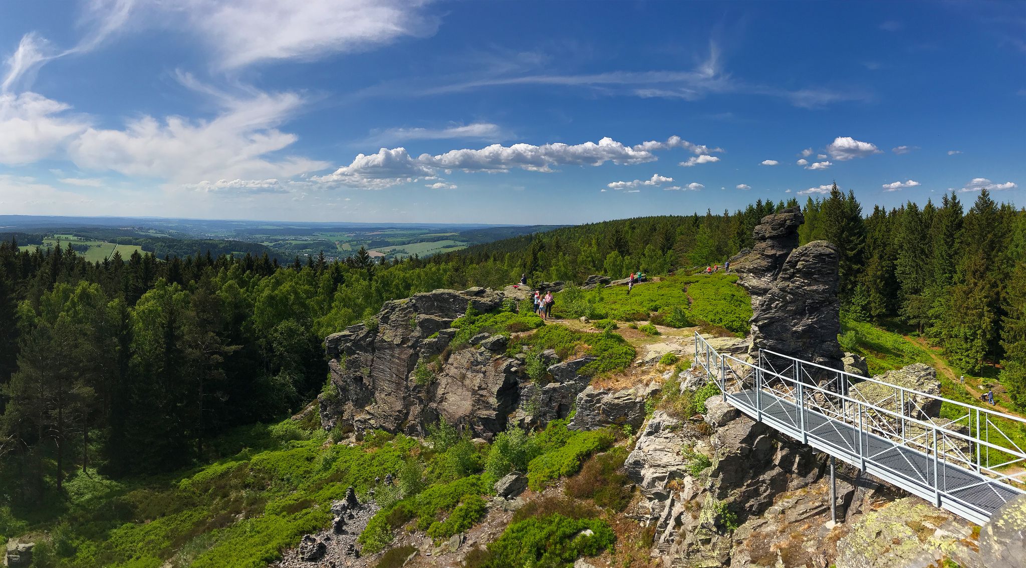
Experience the sounds of nature — hikes in the Vogtland Region
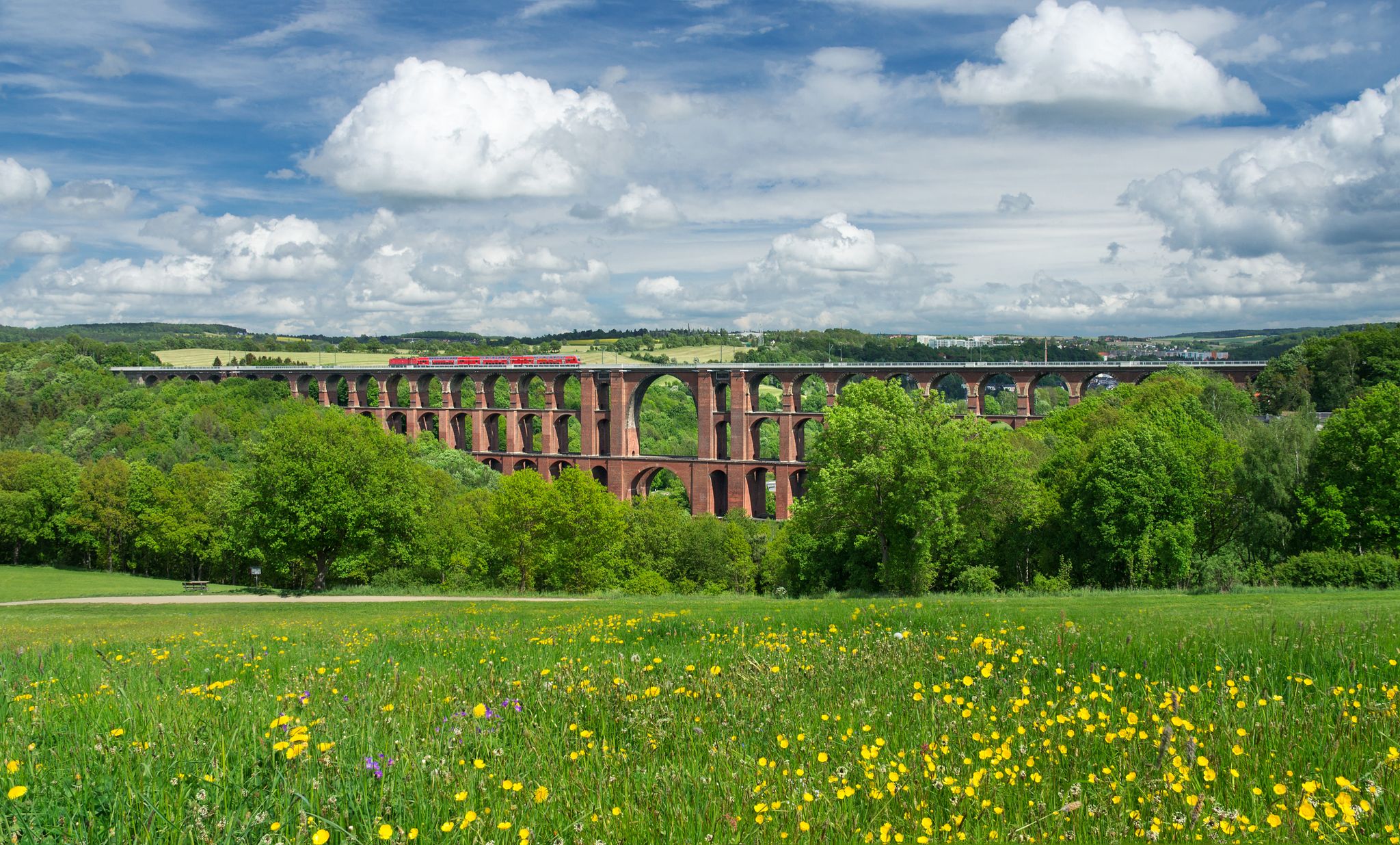
Experience nature’s symphony – Vogtland Panorama Trail
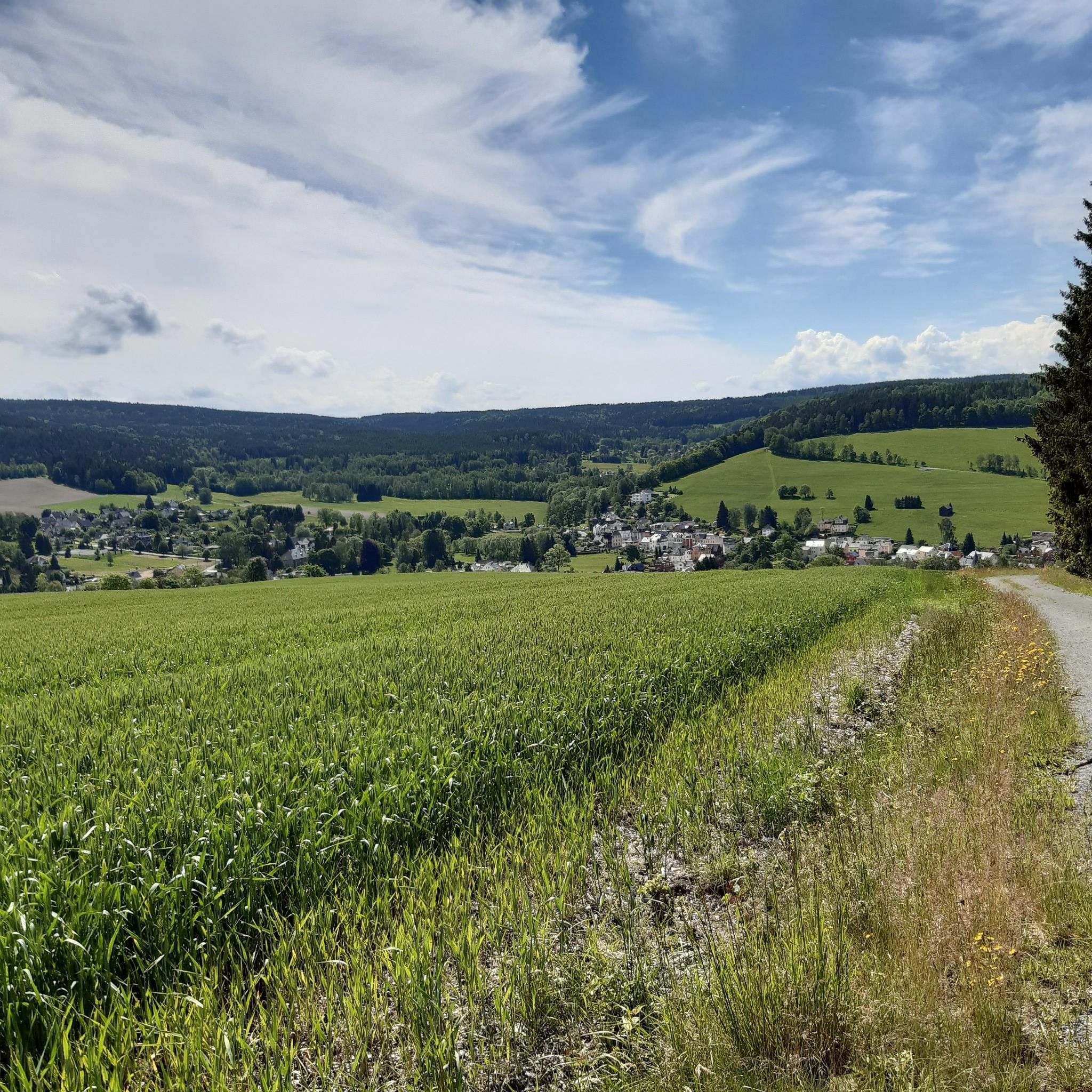
Hiking around Markneukirchen

Gravel biking around Markneukirchen
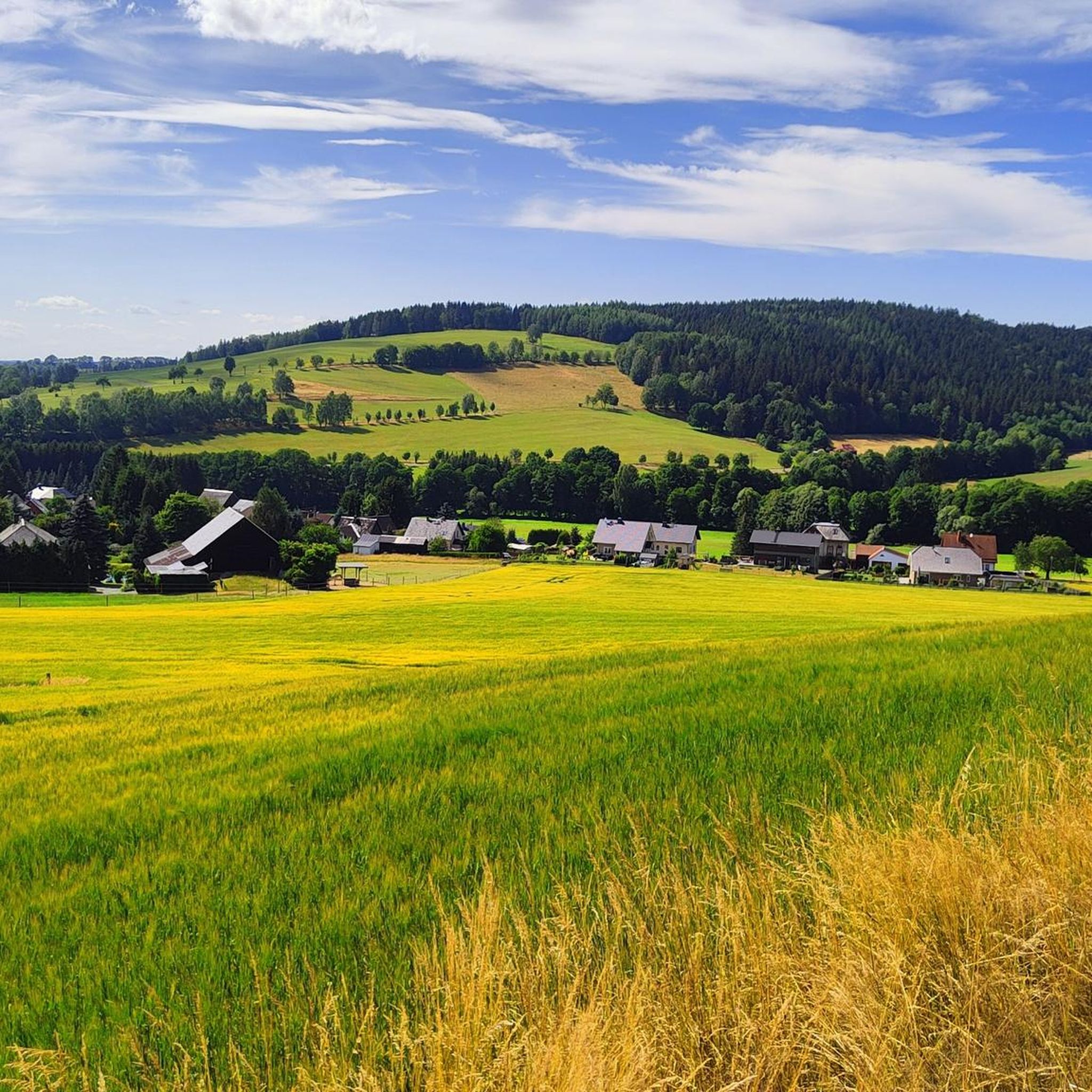
Cycling around Markneukirchen
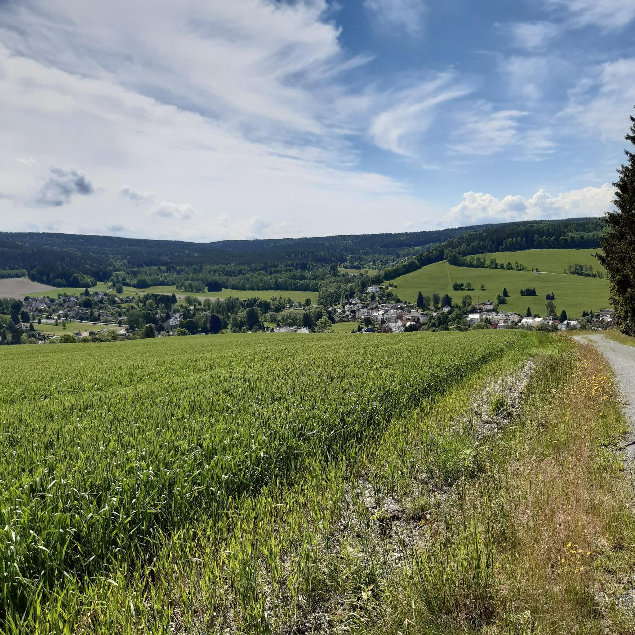
MTB Trails around Markneukirchen
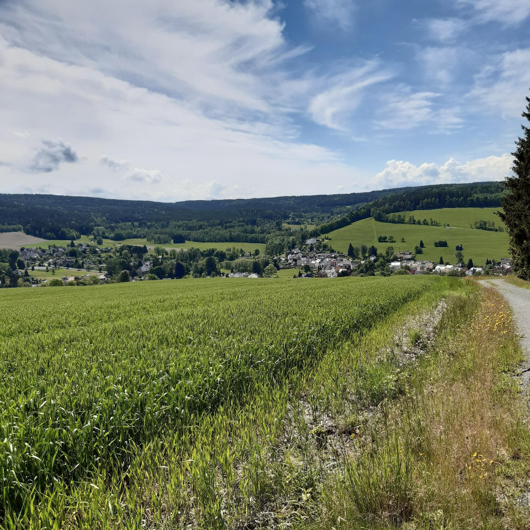
Road Cycling Routes around Markneukirchen
Running Trails around Markneukirchen
Other adventures around Markneukirchen

Tips from the Community

Really good junction for hiking, in winter also connection to the cross-country ski trail (Attention: Very high difficulty level!) However, the signage is not so good. So it's better to check the map one more time 😁
0
0

If you don't want to cross the road directly, the bridge is a better alternative.
0
0

Intended for cross-country skiing.
0
0

Here again a good choice of route.
1
0
Pass summit between Markneukirchen and Klingenthal
0
0

At the foot of the bridge in the direction of the village is a Royal Saxon half-milestone on the B283. "In the Kingdom of Saxony, the preparations for the introduction of the metric system were carried out in connection with the work of the Normal Aichungscommission and the related leading work by Albert Christian Weinlig and Julius Ambrosius Hülsse. ... After a new measurement in 1858, between 1859 and 1865 a new system of Milestones – the Royal Saxon milestones in the form of station, whole mile, half mile, junction and border crossing stones – were created (from 1840: 1 mile = 7.5 km) These became partial after the introduction of the metric system around 1900 redesigned into kilometer, highway, corridor boundary or road keeper stones." - https://de.wikipedia.org/wiki/course%C3%A4chsische_Postmeilens%C3%A4ule#Nachfolger
3
0

If you arrive high up here from Klingenthal as a hiker or cyclist, you can rightly take a short break and catch your breath.
1
0

The Kammweg runs here at the top of the pass, 860 m above sea level in Mühlleithen. Since the road is very busy here, a pedestrian bridge was built in 2006 so that hikers can cross the road safely. Cyclists also use the road, as a main cycle path leads along here.
1
0
Frequently Asked Questions
What are the most notable elevated points or 'mountain passes' around Markneukirchen?
The Markneukirchen area, part of the scenic Vogtland region, offers several elevated points and scenic trails that provide a 'mountain pass' experience. Key locations include Loipen Bridge Mühleithen, which is the highest road pass in the Vogtland at 860 m, and Mühlleithen Pass, known for its large hiking car park and routes to the Aschbergturm. Another significant spot is Gopplasgrüner Höhe Pass, marking the highest point between Markneukirchen and Zwota.
What kind of hiking trails can I find near Markneukirchen's elevated points?
The region boasts an extensive network of over 70 km of marked hiking trails, catering to various fitness levels. You can find moderate hikes like the 'Mountain meadow with a view' route or trails leading to viewpoints such as Hoher Stein. Portions of the long-distance Vogtland Panorama Trail also pass through the area, offering diverse landscapes and rewarding views. For more hiking options, explore the Hiking around Markneukirchen guide.
Are there family-friendly options among the elevated points near Markneukirchen?
Yes, several locations are suitable for families. Loipen Bridge Mühleithen is noted as family-friendly, offering a ski hut and summer toboggan run. The extensive hiking network also includes easier trails, and many viewpoints are accessible, providing a serene environment for relaxation and enjoying nature with children.
What natural features and panoramic views can I expect to see?
The elevated points around Markneukirchen are primarily known for their expansive panoramic views of the Vogtland region, sometimes extending towards Bohemia and Bavaria. You'll encounter forested areas, tranquil meadows, and unique rock formations like Hoher Stein. These spots offer a serene environment to enjoy the natural beauty of the area.
Are there any historical landmarks with views in the Markneukirchen area?
Yes, the Bismarck Column (Bismarckturm), erected in 1900, is a notable historical monument near Markneukirchen. Reaching the column, often via scenic paths, rewards visitors with magnificent panoramic views over the hiking area and the city itself, blending history with scenic outlooks.
What do visitors enjoy most about the elevated points around Markneukirchen?
Visitors highly appreciate the stunning panoramic views of the Vogtland landscape, the extensive and well-marked hiking network suitable for various fitness levels, and the overall natural beauty and tranquility of the forested areas and meadows. The blend of scenic beauty with cultural and historical significance, such as the Bismarck Column, also adds to the appeal.
Where can I park when visiting the elevated points around Markneukirchen?
For instance, at Mühlleithen Pass, there is a large hiking car park available, though it is subject to a fee. Parking here allows you to start various hiking tours directly from an elevated position. It's advisable to check specific parking availability for other trailheads.
What is the best time to visit the elevated points and trails around Markneukirchen?
The region is beautiful throughout the year. Spring and autumn offer pleasant temperatures for hiking and vibrant foliage. Summer is ideal for enjoying the outdoor activities and longer daylight hours. Winter provides opportunities for snow-related activities, especially around areas like Loipen Bridge Mühleithen and Mühlleithen Pass, which are suitable for skiing or tobogganing.
Are there cycling routes that include these elevated points?
Yes, the area offers cycling opportunities. For example, the Pass on Cycle Route 23 is an elevated point specifically mentioned as part of a cycle route. You can find more road cycling options in the Road Cycling Routes around Markneukirchen guide.
Are there options for winter activities near Markneukirchen's elevated points?
Absolutely. Locations like Loipen Bridge Mühleithen, the highest road pass in Vogtland, feature a ski hut and are excellent for winter sports. Mühlleithen Pass also provides opportunities for skiing or tobogganing in the snow, or simply enjoying a winter hike through the dense forests.
Can I find long-distance hiking trails that pass through the Markneukirchen area?
Yes, sections of the extensive Vogtland Panorama Trail pass through the Markneukirchen area. This long-distance hiking trail offers various segments with rewarding views and natural beauty, such as a ridge path section leading to a resting place above Wernitzgrün with magnificent panoramic views. These sections are suitable for both multi-day hikes and shorter excursions.
What is the highest elevated point or 'pass' in the Vogtland region near Markneukirchen?
The highest road pass in the Vogtland region, located near Markneukirchen, is Loipen Bridge Mühleithen, reaching an elevation of 860 meters. This spot is a popular destination, offering amenities like a ski hut and a summer toboggan run.
Most popular routes around Markneukirchen
Most popular attractions around Markneukirchen

Get inspired with the komoot mobile app


Explore more
See even more epic mountain passes by checking out these guides around Markneukirchen:
