Top 20 Natural Monuments around Bundorf
Best natural monuments around Bundorf are found within a rural region, offering diverse natural scenery. This municipality, situated in Bavaria, provides opportunities to explore its landscape, which includes lakes, rivers, and elevated viewpoints. The area is characterized by its natural environment, making it suitable for outdoor recreation. Visitors can discover various natural features that contribute to the region's appeal.
Best natural monuments around Bundorf
- The most popular natural monuments is Bramberg Castle Ruins, a castle that is an impressive…
Last updated: June 24, 2026
Lower Dam Area, Ellertshäuser Lake
Highlight • Lake
Translated by Google •
Tip by

Bramberg Castle Ruins
Highlight • Castle
Showing Translation
Tip by
Sign up now to discover places like this
Get recommendations on the best single tracks, peaks, & plenty of other exciting outdoor places.
Sign up for free
Ursee Pond
Highlight • Lake
Translated by Google •
Tip by

Translated by Google •
Tip by

Sulzfelder Lake
Highlight • Lake
Translated by Google •
Tip by
Sign up for free to discover even more natural monuments around Bundorf.
Sign up for free
Already have an account?
Start today with a free account
Your next adventure awaits.
Login or Signup
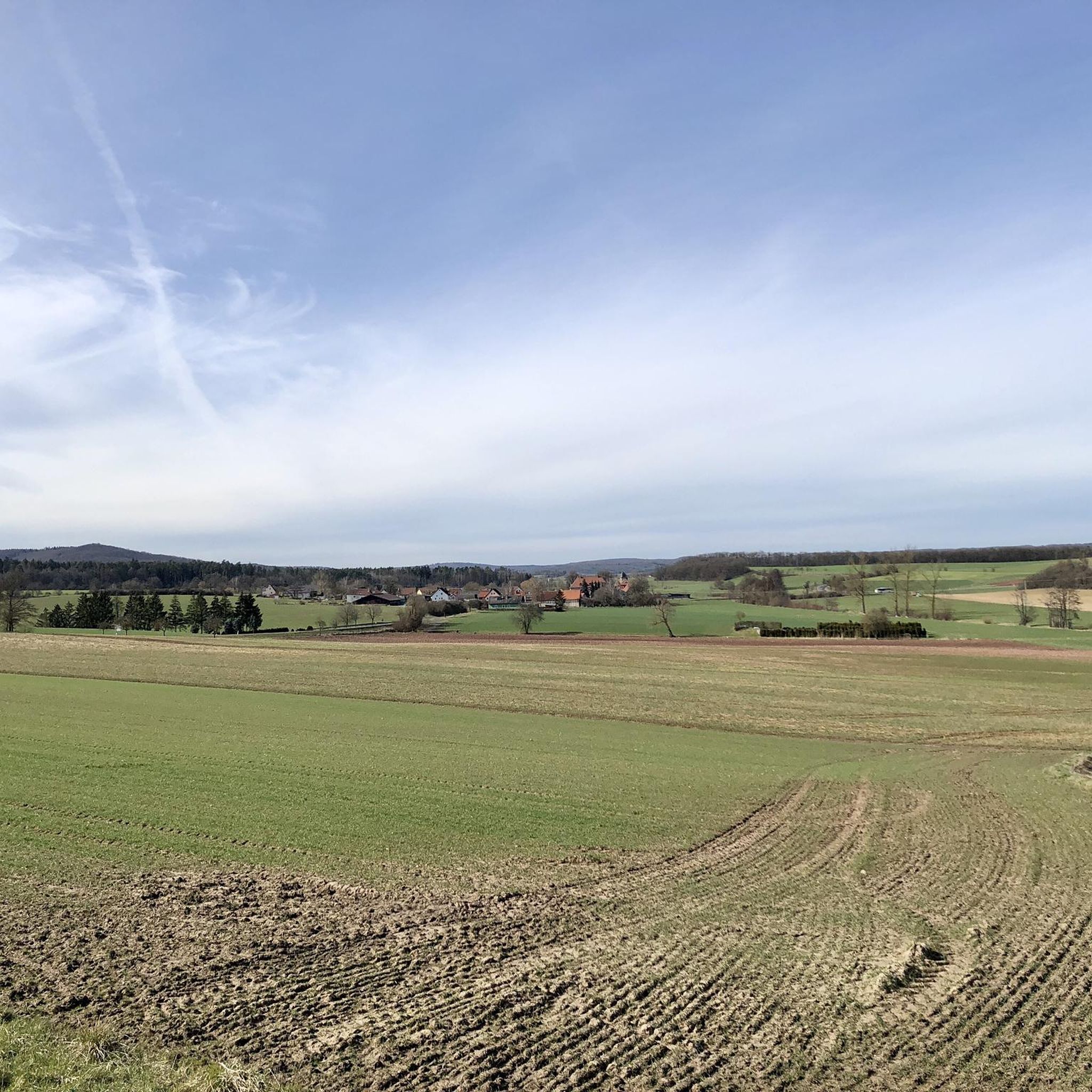

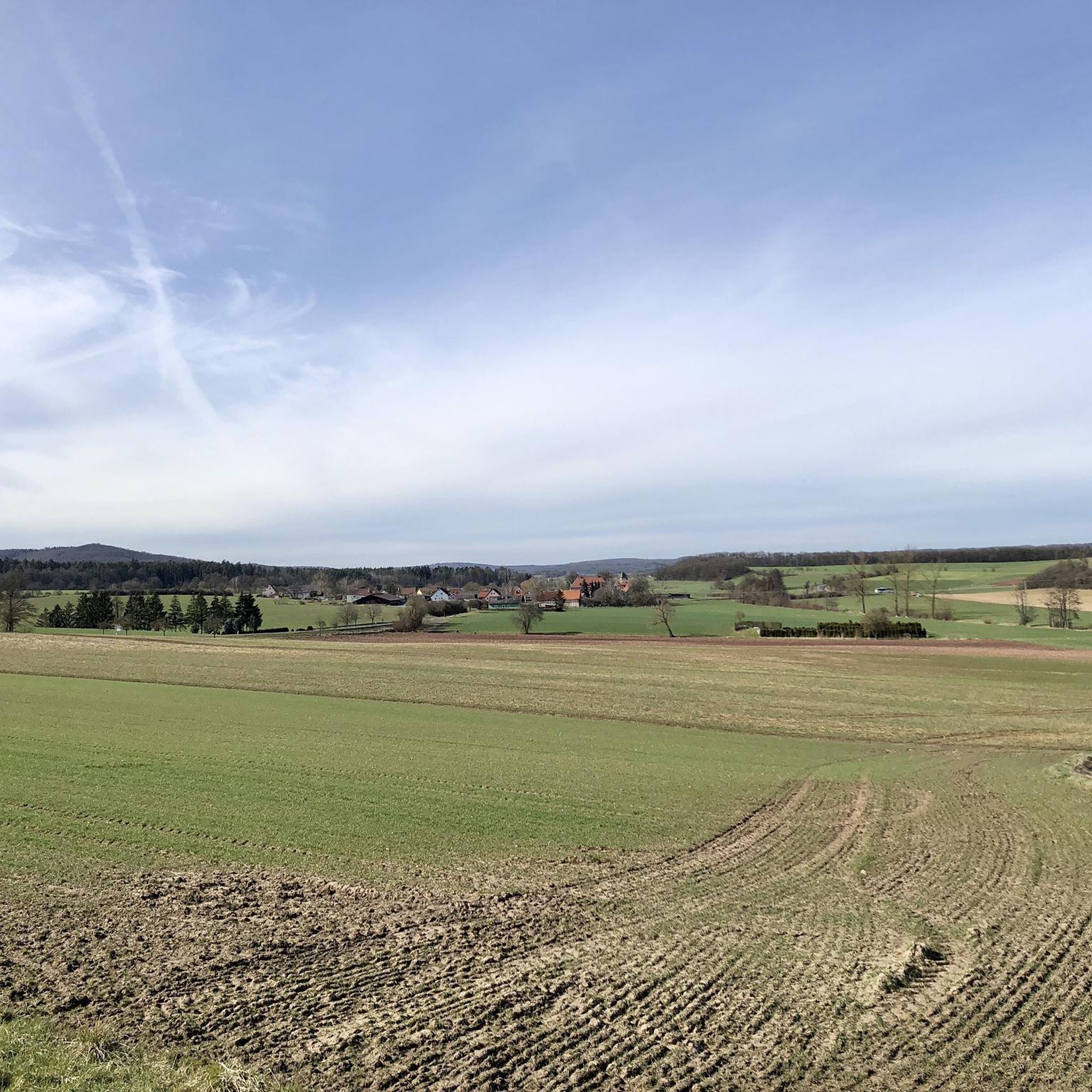
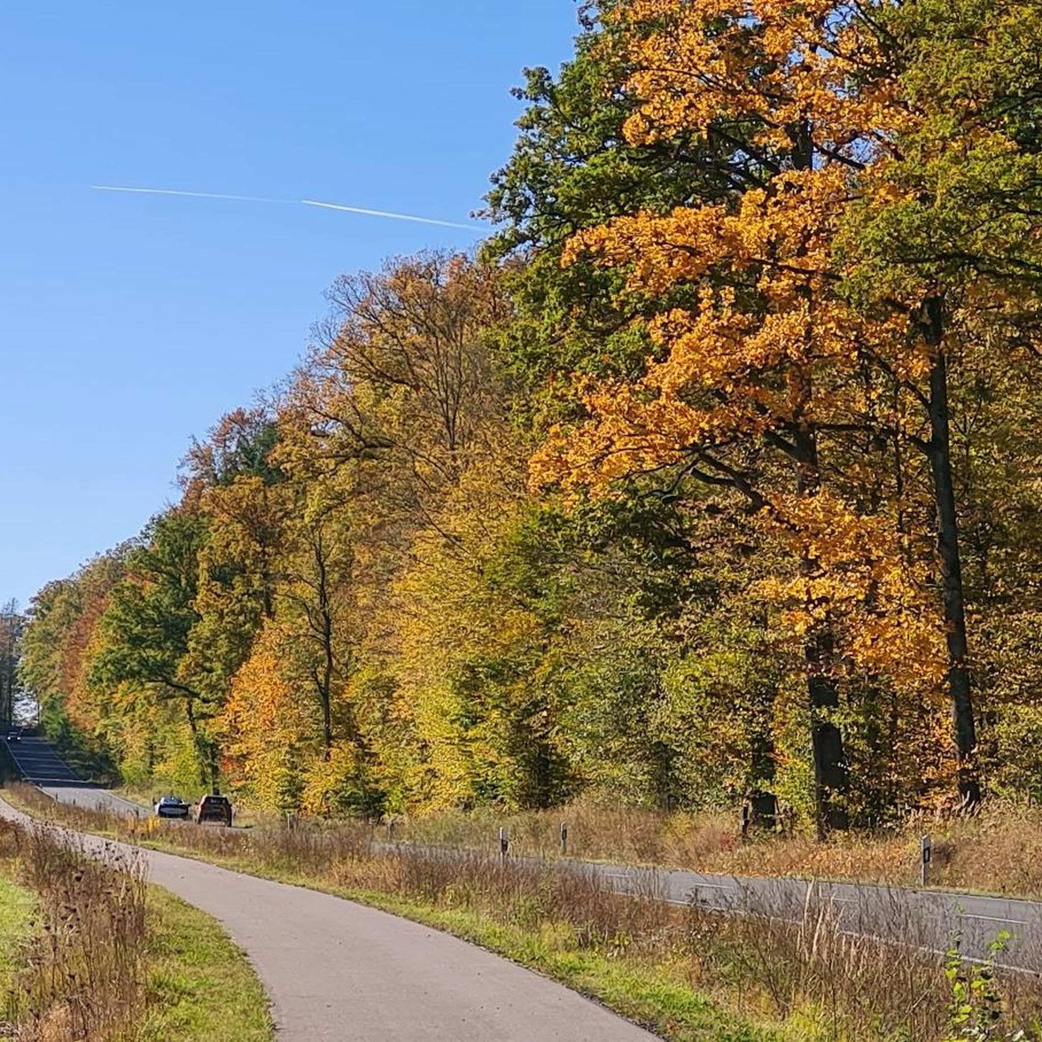
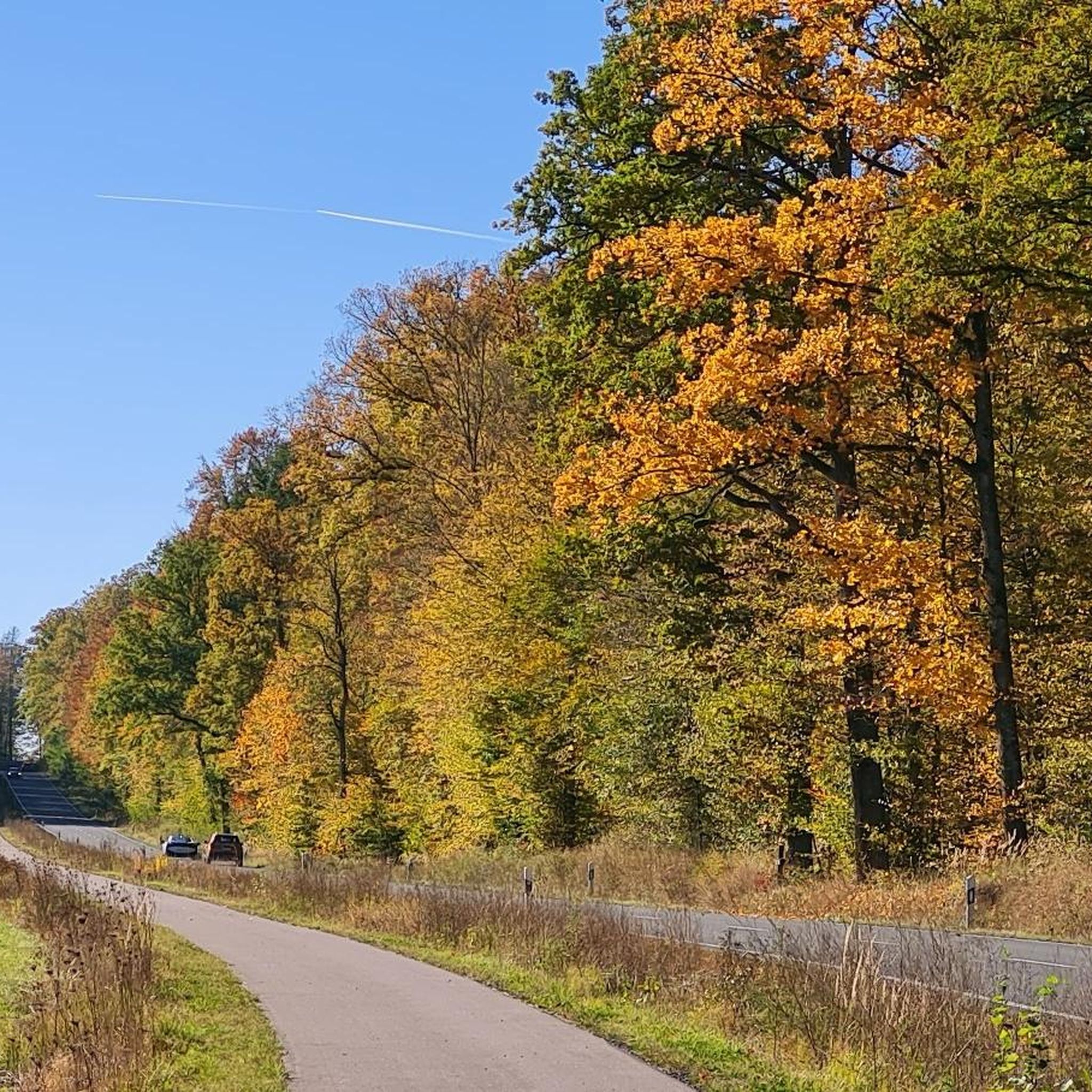
Tips from the Community

A journey into history with lots of information on the panels.
11
0

The first sandstone spring casing from the 1940s was redesigned in 1973 and acquired its current representative appearance in 1985. A bronze plaque by Erich Husemann from Trappstadt has commemorated the importance of the Franconian Saale since 1987. The spring stream flows southwest through Alsleben, where it joins the Fleusengraben, and joins the left source stream north of Bad Königshofen-Untereßfeld. Source: https://de.m.wikipedia.org/wiki/Fr%C3%A4nkische_Saale
13
0
The Franconian Saale originates in the Grabfeld near the Haßberge Mountains, east and southeast of Bad Königshofen, respectively, from two roughly equal, 3.9 km long source streams: Its right and northern source streams originate from the Saalbrunnen (not to be confused with the Saalbrunnen, also located in Franconia), approximately 1.7 kilometers east of Alsleben, a district of Trappstadt. The spring is located in an open field, less than 500 meters from the Thuringian border, just off the NES 45 district road, which leads to Gompertshausen. The young Franconian Saale rises there at 313 meters above sea level, below the Kapellenberg (390 meters above sea level). Source: https://de.m.wikipedia.org/wiki/Fr%C3%A4nkische_Saale
13
0
The ruins of Bramberg Castle are located within the Haßberge Nature Park on the summit of the 494.3-meter-high Bramberg, an extinct volcanic cone of the Heldburg Gangschar, approximately 2 kilometers northwest of the village of Bramberg, a western district of Ebern, and about 5 kilometers (as the crow flies) northeast of the city of Königsberg in Bavaria. It is surrounded by the Goßmannsdorf Forest. Source and further information: https://de.wikipedia.org/wiki/Burg_Bramberg_(Ha%C3%9Fberge)
12
0
The northern source of the Franconian Saale rises here. The spring is beautifully framed and there is a nice place to sit there.
13
2

Todays use The lake is now used as a local recreation area. Large parts are open to swimming, diving, sailing and fishing. The remaining areas are created as biotopes and designated as nature reserves. Another use is as water retention to avoid flooding in spring when the snow melts and to feed the Sauerquellebach with enough water in the dry times in summer and autumn. With a total area of 33 hectares, the lake is the largest reservoir in Lower Franconia.[1] It is surrounded by forest all around. The circular route is 4.4 km long. Parts of the north shore of the lake have sunbathing areas, a sandy beach and bathing jetties. In 1983 and 2022 the lake was completely drained for renovation work. After a ground closure was built in 2022, the reservoir no longer needs to be completely emptied in the event of renovation work. The drain was closed again on September 22, 2022 and the filling of the lake with rainwater and snow is expected to be completed by spring 2024. https://de.wikipedia.org/wiki/Ellertsh%C3%A4user_See
8
1

Beautifully situated bathing lake. A path leads around the lake.
5
0
The Ellertshäuser See during the dam repair, March 2023
6
2
Frequently Asked Questions
What types of natural features can I expect to see around Bundorf?
Bundorf, situated in a rural region, offers diverse natural scenery. You can expect to find various water bodies like lakes and rivers, as well as elevated viewpoints. For instance, the Lower Dam Area, Ellertshäuser Lake is the largest reservoir in Lower Franconia, surrounded by forest. You can also visit the Source of the Franconian Saale (Alsleben), marking the origin of the river.
Are there any notable viewpoints among Bundorf's natural monuments?
Yes, several natural monuments around Bundorf offer scenic views. The Bramberg Castle Ruins, perched high on an extinct volcanic cone, provides incredible panoramic views of the surrounding landscape. The Lower Dam Area, Ellertshäuser Lake also offers a wonderful view of the reservoir.
What outdoor activities can I do near Bundorf's natural monuments?
The area around Bundorf is well-suited for various outdoor activities. You can explore numerous hiking trails, such as those found in the Easy hikes around Bundorf guide. For cyclists, there are Road Cycling Routes and MTB Trails available, often passing by or near these natural spots.
Are there family-friendly natural monuments or activities in Bundorf?
Many natural spots around Bundorf are suitable for families. The Ellertshäuser Lake is a local recreation area with sunbathing areas and a sandy beach. The Ursee Pond area features a 'Nature Adventure Trail' with playing stations, ideal for children to experience nature. Sulzfelder Lake is also a pleasant facility for a family outing.
Do any of Bundorf's natural monuments have historical significance?
Yes, some natural monuments in the region are intertwined with historical sites. The Bramberg Castle Ruins is a prominent example, offering a journey into history with information panels about the impressive ruined castle. The Ursee Pond area is also listed as a historical site.
What is the best time of year to visit the natural monuments in Bundorf?
The natural monuments around Bundorf can be enjoyed throughout the year, depending on your preferred activities. Spring brings wildflowers, while autumn offers beautiful foliage for hiking. Summer is ideal for activities around the lakes like Sulzfelder Lake. The region's natural environment makes it appealing in various seasons for outdoor recreation.
How accessible are the natural monuments around Bundorf?
Accessibility varies by location. Many natural areas and trails are generally accessible for walking. For specific details on terrain difficulty or wheelchair accessibility, it's best to check individual route descriptions. For example, the circular route around Ellertshäuser Lake is 4.4 km long and generally manageable.
Is parking available at the natural monuments?
While specific parking details for every natural monument are not provided, many popular natural recreation areas in rural regions typically offer designated parking facilities. For instance, areas around lakes like Ellertshäuser Lake and Sulzfelder Lake, being local recreation spots, are likely to have parking options for visitors.
Are the natural monuments around Bundorf dog-friendly?
Many natural areas and trails in Bundorf are generally dog-friendly, allowing you to enjoy the outdoors with your pet. However, it's always advisable to keep dogs on a leash, especially in nature reserves or areas with wildlife, and to respect local regulations. Specific rules may apply to bathing areas at lakes.
Are there cafes or restaurants near the natural monuments in Bundorf?
Yes, some natural monuments are located near facilities. Sulzfelder Lake, for example, offers opportunities to stop for refreshments. The broader Bundorf area, being a municipality, also has local cafes, pubs, and accommodation options available for visitors.
What do visitors enjoy most about the natural monuments around Bundorf?
Visitors particularly appreciate the scenic beauty and tranquility of the area. Highlights like the Bramberg Castle Ruins are loved for their incredible views. The lakes, such as Ellertshäuser Lake, are valued as local recreation areas for swimming and relaxation. The community has shared over 700 upvotes and nearly 400 photos, indicating a strong appreciation for the diverse natural features.
Can I find less crowded natural spots around Bundorf?
While some popular spots like the main areas of Ellertshäuser Lake can attract visitors, the rural nature of Bundorf means it's generally possible to find quieter trails and less frequented natural areas. Exploring the various hiking and cycling routes, especially during off-peak times, can lead you to more secluded natural experiences.
Most popular routes around Bundorf
Most popular attractions around Bundorf

Get inspired with the komoot mobile app


Explore more
Extend your search for the best caves by checking out these guides of the top ones around Bundorf:
