Top 20 Natural Monuments around Aubstadt
Natural monuments around Aubstadt are situated in the Rhön-Grabfeld district of Bavaria, Germany, an area known for its rolling hills and picturesque landscapes. The region offers opportunities for outdoor activities such as hiking and cycling through meadows. While Aubstadt itself does not feature widely recognized natural monuments, the surrounding area provides several notable natural attractions. These sites contribute to the natural appeal of the region, offering diverse points of interest for visitors.
Best natural monuments around Aubstadt
- The most popular…
Last updated: September 27, 2026
Translated by Google •
Tip by

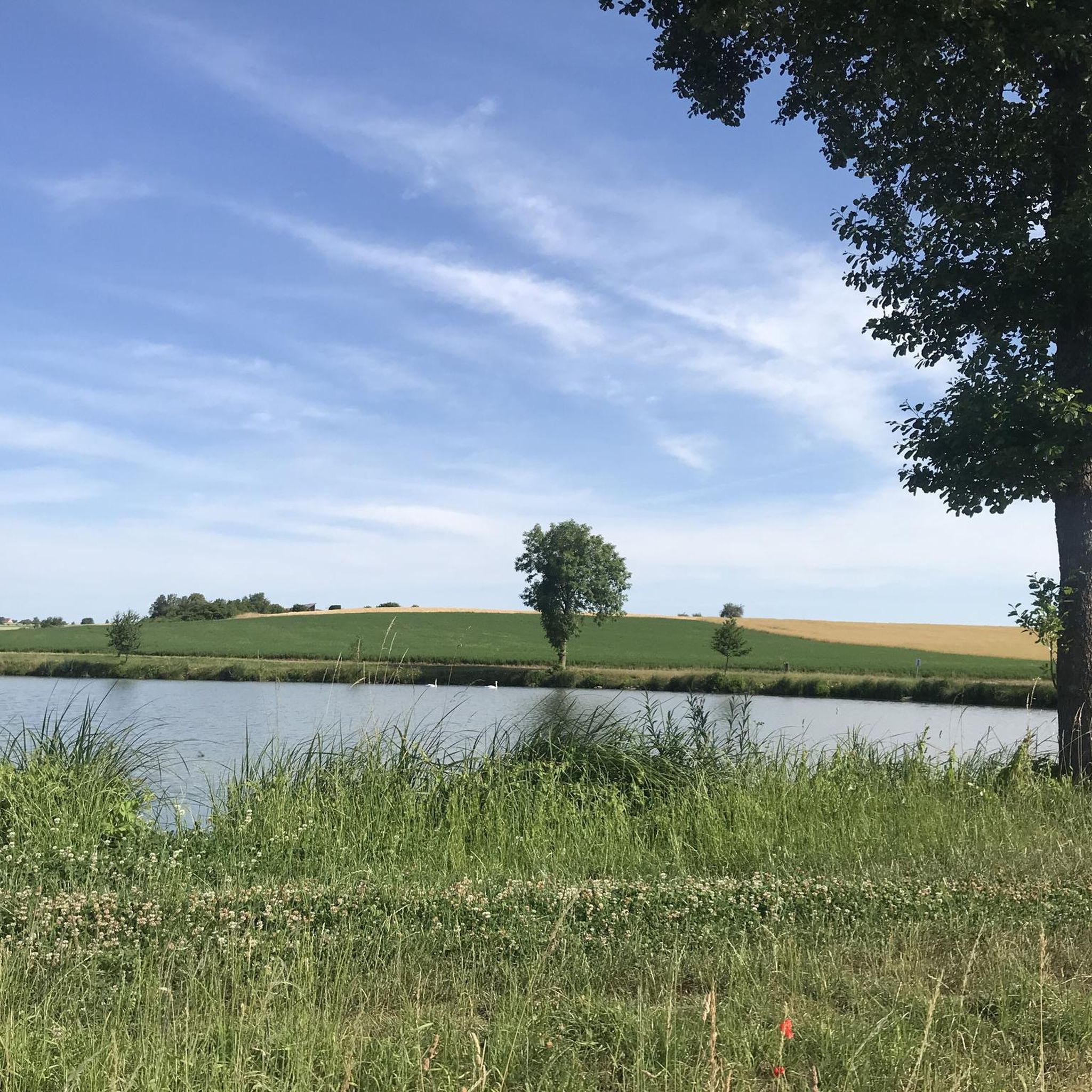
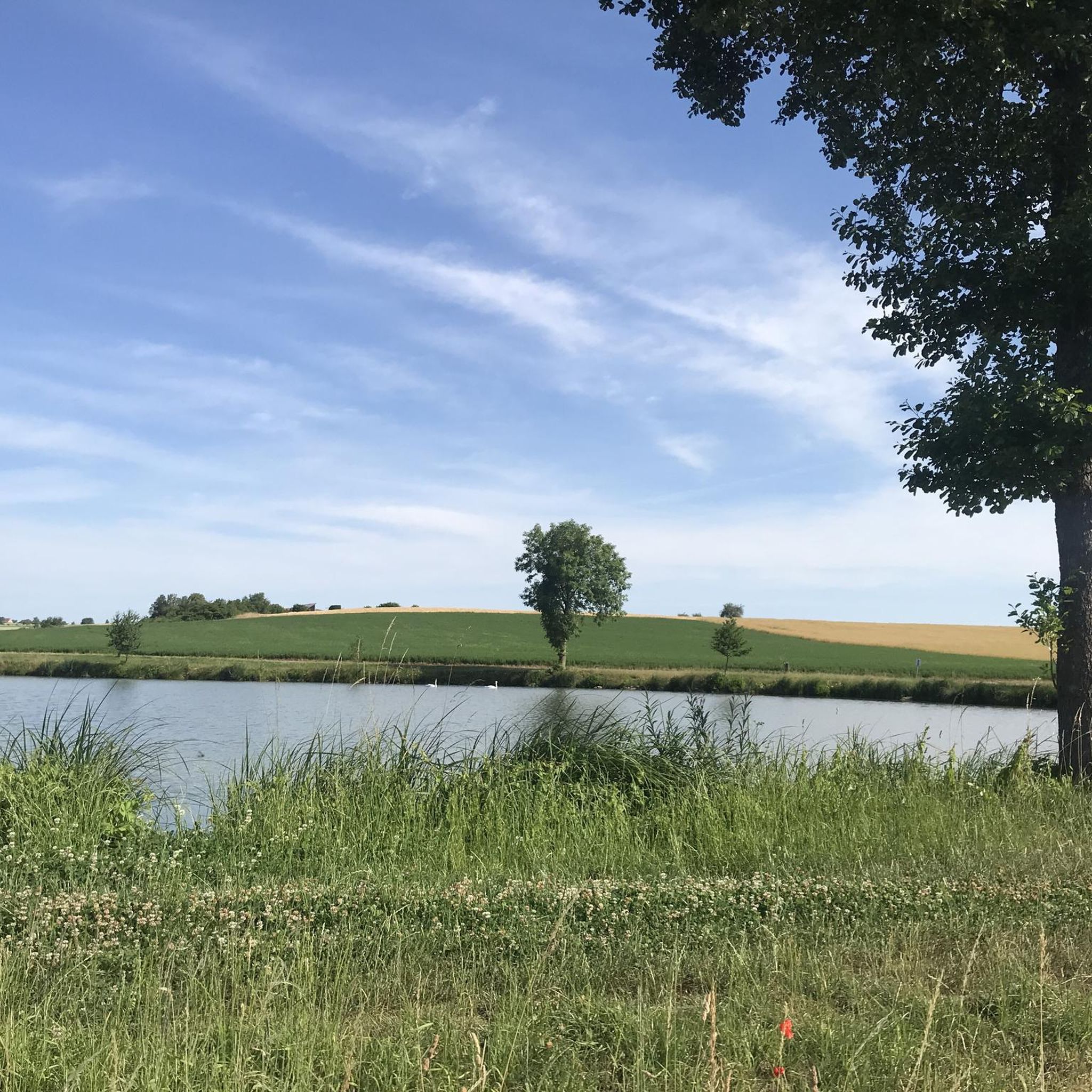
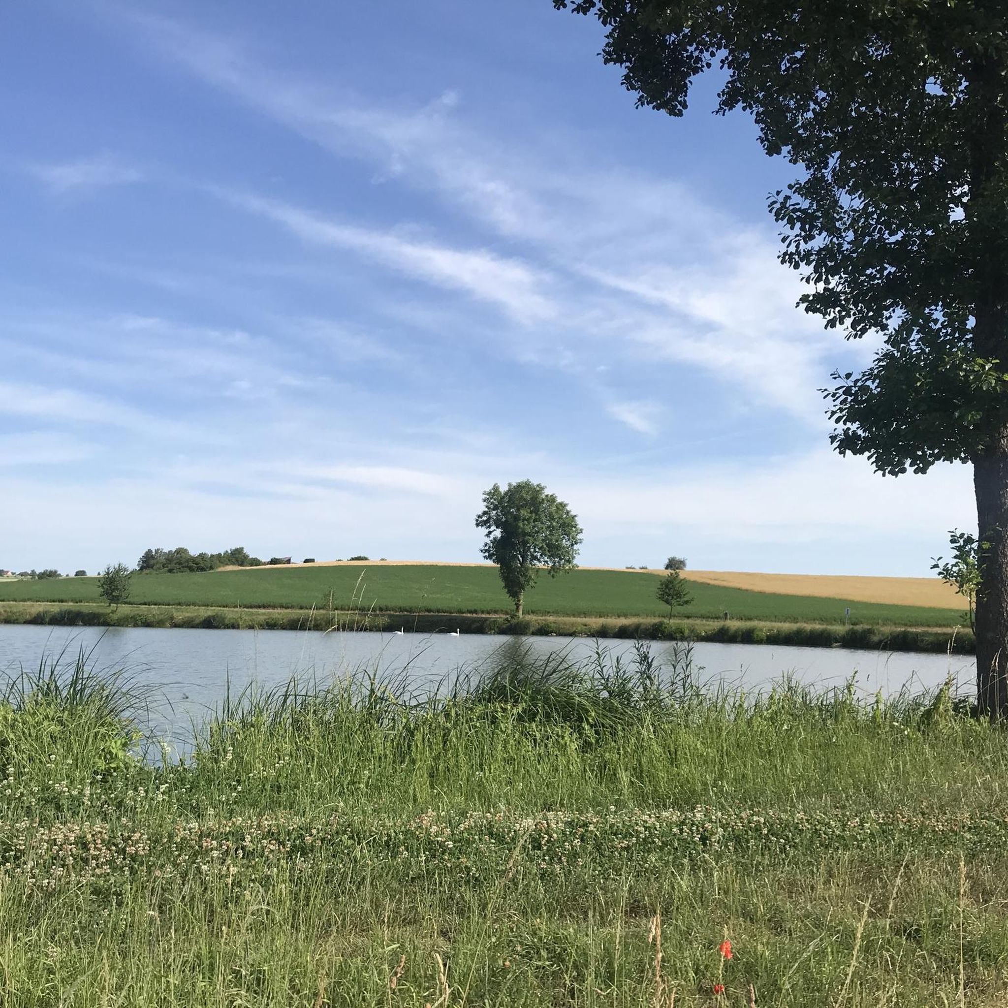
Sulzfelder Lake
Highlight • Lake
Translated by Google •
Tip by

Sign up now to discover places like this
Get recommendations on the best single tracks, peaks, & plenty of other exciting outdoor places.
Brennhausen Castle
Highlight • Castle
Translated by Google •
Tip by

Salzloch – Southern Spring of the Franconian Saale
Highlight • River
Translated by Google •
Tip by
Sources of the Franconian Saale
Highlight • River
Translated by Google •
Tip by
Sign up for free to discover even more natural monuments around Aubstadt.
Already have an account?
Start today with a free account
Your next adventure awaits.
Tips from the Community

The first sandstone spring casing from the 1940s was redesigned in 1973 and acquired its current representative appearance in 1985. A bronze plaque by Erich Husemann from Trappstadt has commemorated the importance of the Franconian Saale since 1987. The spring stream flows southwest through Alsleben, where it joins the Fleusengraben, and joins the left source stream north of Bad Königshofen-Untereßfeld. Source: https://de.m.wikipedia.org/wiki/Fr%C3%A4nkische_Saale
14
1
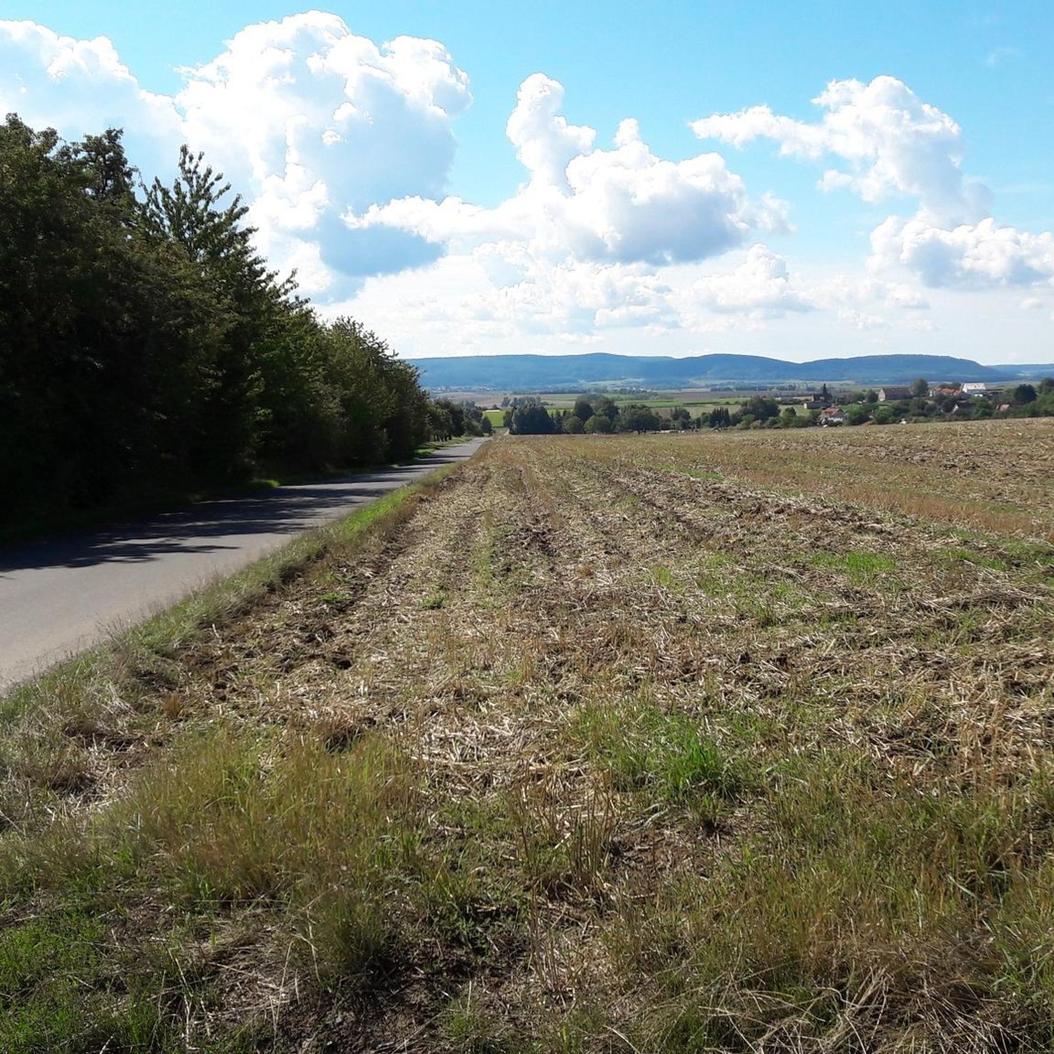
The Franconian Saale originates in the Grabfeld near the Haßberge Mountains, east and southeast of Bad Königshofen, respectively, from two roughly equal, 3.9 km long source streams: Its right and northern source streams originate from the Saalbrunnen (not to be confused with the Saalbrunnen, also located in Franconia), approximately 1.7 kilometers east of Alsleben, a district of Trappstadt. The spring is located in an open field, less than 500 meters from the Thuringian border, just off the NES 45 district road, which leads to Gompertshausen. The young Franconian Saale rises there at 313 meters above sea level, below the Kapellenberg (390 meters above sea level). Source: https://de.m.wikipedia.org/wiki/Fr%C3%A4nkische_Saale
14
1
A few kilometers south, near the Heckenmühle near Obereßfeld, in the municipality of Sulzdorf an der Lederhecke, the southern spring stream originates from the Salzloch. This spring has a higher flow than the Saalbrunnen, is located at approximately 320 m above sea level, and has also been dammed. The Saalegraben, which originates there, is also known as the Dagigbach until its confluence with the northern spring stream. It runs through the village of Obereßfeld, where the Klausgrundgraben empties into it. Accompanied by the B279 federal highway, the Saalegraben flows through Untereßfeld, this time taking in the Heilbruchgraben from the right at the Lustmühle. It then meets the northern spring stream southeast of Bad Königshofen. An information panel has been erected directly at the confluence. Source: https://dewiki.de/Lexikon/Fr%C3%A4nkische_Saale
15
0
The Franconian Saale originates in the Grabfeld near the Haßberge mountains, east and southeast of Bad Königshofen, respectively, from two roughly equal, 3.9 km long source streams: Its right and northern source streams originate from the Saalbrunnen (not to be confused with the Saalbrunnen, also located in Franconia), approximately 1.7 kilometers east of Alsleben, a district of Trappstadt. The spring is located in an open field, less than 500 meters from the Thuringian border, just off the NES 45 district road, which leads to Gompertshausen. The young Franconian Saale rises there at 313 meters above sea level, below the Kapellenberg (390 meters above sea level). Source: https://dewiki.de/Lexikon/Fr%C3%A4nkische_Saale
16
0
One of the two source rivers of the Franconian Saale is the Saalbrunnen, which rises between Alsleben and Gompertshausen. The Salzloch near the Heckenmühle near Obereßfeld is the second source river. The Salzloch and Saalbrunnen join near Untereßfeld to form the Franconian Saale, which meanders 135 km through Bad Königshofen, Bad Neustadt, and Bad Kissingen to Gemünden. There, the Franconian Saale flows into the Main River. There are several Saale rivers in the German-speaking region. "Sala" and "Salu" first appear in a charter book of the Fulda Monastery in 777. The first mill on the young Saale was the Heckenmühle, located just a few meters from its source and mentioned as early as 1317. Near Alsleben, the first mill on the Saale was the Apothekersmühle (pharmacist's mill) or the Alslebener Gemeindemühle (municipal mill). Source: https://grabfeld-grenzenlos.de/fraenkische-saale/
18
0

The **Salt Hole** is actually the southern source of the **Franconian Saale** and has an interesting significance in the region. Here is some important information about the Salt Hole: 1. **Location**: - The Salt Hole is located near the **Heckenmühle** in **Sulzdorf an der Lederhecke**. The exact address is: **Heckenmühle 1, 97528 Sulzdorf an der Lederhecke**. 2. **Source Description**: - This spring is known for its **strong discharge** and is one of the two main sources of the Franconian Saale. Compared to the **Saalbrunnen**, which is the northern source, the Salt Hole has a significant role in the region's water supply. 3. **Accessibility**: - The Salt Hole is **open 24 hours a day**, making it a popular destination for hikers and nature lovers. 4. **Surroundings**: - The area surrounding the Salt Hole offers beautiful hiking trails and a picturesque landscape, ideal for relaxation and nature observation.
3
0

The Salzloch is the southern source of the Franconian Saale. The spring is enclosed and the area at the spring is beautifully laid out and invites you to linger.
13
0
The northern source of the Franconian Saale rises here. The spring is beautifully framed and there is a nice place to sit there.
14
2
Frequently Asked Questions
What types of natural monuments can I explore around Aubstadt?
The area around Aubstadt offers a variety of natural monuments, including picturesque lakes like Sulzfelder Lake, significant river sources such as the Source of the Franconian Saale (Alsleben) and the Salzloch – Southern Spring of the Franconian Saale, and even historical sites like Brennhausen Castle, which is a moated castle designated as a natural monument.
Are there family-friendly natural monuments near Aubstadt?
Yes, several natural monuments around Aubstadt are suitable for families. Sulzfelder Lake is a popular bathing lake with a path around it, perfect for family outings. The Source of the Franconian Saale (Alsleben) and the Salzloch – Southern Spring of the Franconian Saale also offer accessible spots to explore the origins of the river.
What historical natural monuments can be found in the region?
One notable historical natural monument is Brennhausen Castle. This impressive moated castle, with parts dating back to the 13th century, features two Gothic residential towers and is uniquely situated in a lake, offering a blend of natural beauty and historical significance.
Where does the Franconian Saale river originate near Aubstadt?
The Franconian Saale has two main source streams in the Grabfeld region. One originates from the Saalbrunnen near Alsleben, rising at 313 meters above sea level. The other, the southern spring stream, comes from the Salzloch near Obereßfeld. Both are considered natural monuments and contribute to the river's beginnings.
Can I go hiking near the natural monuments around Aubstadt?
Absolutely. The region offers various hiking opportunities. You can find easy hikes like the 'Ecce Homo Statue – View of the Rhön loop from Ipthausen' or the 'Dörfleinshöhe – Rothenblick Viewpoint loop from Ipthausen'. For more options, explore the Easy hikes around Aubstadt guide.
Are there cycling routes available around these natural attractions?
Yes, the area is well-suited for cycling. Routes such as the 'Market Square, Bad Königshofen – Kleinbardorf Rest Area loop from Ipthausen' offer scenic rides. You can discover more cycling tours in the Cycling around Aubstadt guide.
What do visitors particularly enjoy about the natural monuments in this area?
Visitors appreciate the diverse experiences. For instance, Sulzfelder Lake is loved for its refreshing cool-down on hot days and its pleasant facilities for family outings. Brennhausen Castle is admired for its impressive appearance as a moated castle, especially when viewed from different angles around the lake.
Are there places to eat or drink near Sulzfelder Lake?
Yes, Sulzfelder Lake is equipped with facilities that include a cafe, pub, and restaurant, making it convenient for visitors to enjoy refreshments or a meal during their visit.
What kind of landscapes can I expect to see when visiting natural monuments around Aubstadt?
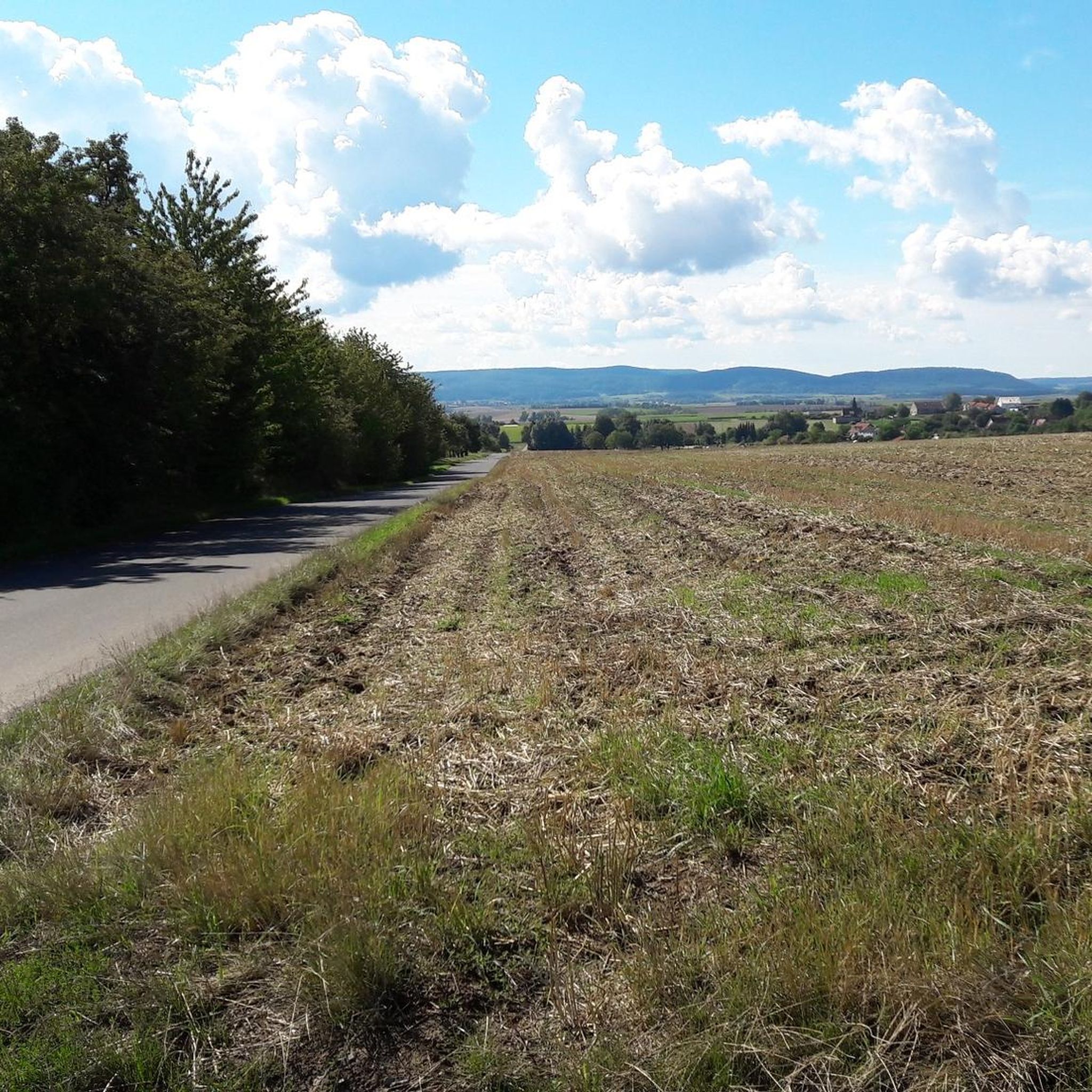
The natural monuments around Aubstadt are set within the picturesque Rhön-Grabfeld district of Bavaria. You can expect to see rolling hills, idyllic meadows, and serene river landscapes, characteristic of the region's natural beauty.
Can I go running near the natural monuments?
Yes, there are several running trails in the vicinity. You can find routes like the 'Small Pond – Wayside Cross loop from Bad Königshofen' or the 'Running loop from Bad Königshofen'. For more options, check out the Running Trails around Aubstadt guide.
How popular are the natural monuments around Aubstadt with the komoot community?
The natural monuments around Aubstadt are quite popular within the komoot community, having received more than 300 upvotes and over 120 photos shared by visitors, indicating a high level of engagement and appreciation for these sites.
Most popular routes around Aubstadt
Most popular attractions around Aubstadt

Get inspired with the komoot mobile app


Explore more
Extend your search for the best caves by checking out these guides of the top ones around Aubstadt:
